The Rio Chama is a major tributary of the Rio Grande that flows through Colorado and New Mexico. It’s a truly beautiful river that supports the nearby populations and wildlife in many ways. Today, we will explore the depth of the Rio Chama, plus the wildlife that live near it, and a whole lot more. Let’s get started.
How Deep is the Rio Chama River?

The Rio Chama’s depth depends on the exact location being measured, but gage stations along certain parts of the river that are more consistent measure between 3 and 6 ft during stable portions of the year. Floods result in depths of up to 11 ft.
The average depth of the Rio Chama is not easy to measure since it the river can fluctuate a bit depending on the location. That being said, some estimates can be made based on regional data. According to the USGS gage station near Chamita (a depth measuring station) the average depth of the Rio Chama at that point is currently at 4.52 ft. However, this depth can vary significantly depending on the dam releases and the natural fluctuations of the river. For example, in the same location (Chamita), there have been recent floods resulting in a water depth of 8 ft, 10 ft, and at the major flood stage, 11.5 ft.
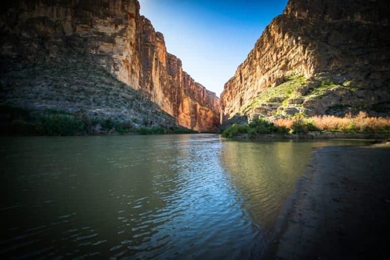
In some places, the river cuts into deep canyons, reaching 1,500 feet below the surrounding rock (although the water doesn’t reach all the way to the top of the plateau).
In the past year, the deepest that the Rio Chama has consistently been was through the month of May when spring snowmelt rushed into the valley and caused the river to stay between 6 ft and 6.8 ft for the entire month.
How Long is the Rio Chama River?
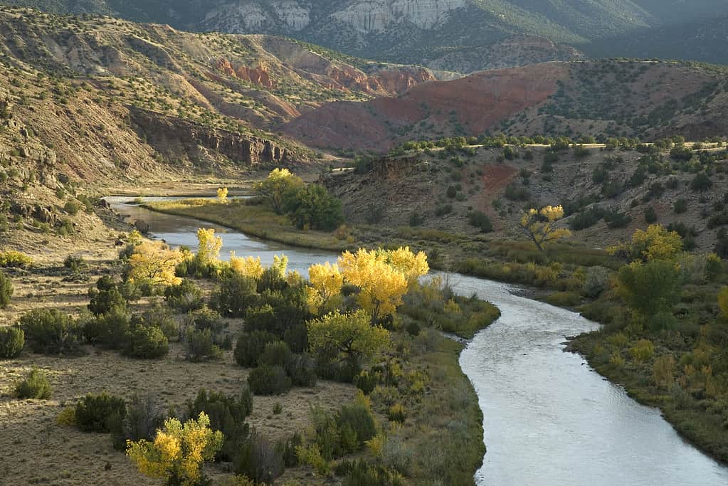
The Rio Chama is one of the major tributaries of the Rio Grande, running 130 miles from Colorado’s San Juan Mountains to its mouth at the Rio Grande.
©SethJacobImages/iStock via Getty Images
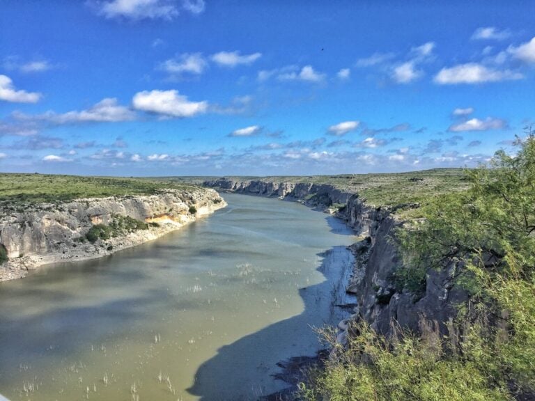
The Rio Chama flows for about 130 miles from its origin in Colorado’s San Juan Mountains, where the West Fork and the East Fork streams merge, to its mouth at the Rio Grande. The river’s length is divided into three sections: about 50 miles from the source to El Vado Dam, about 51 miles from El Vado Dam to Abiquiu Dam, and about 34 miles from Abiquiu Dam to the Rio Grande. Along its course, the Rio Chama flows through different landscapes, making it one of the most scenic rivers in the state and a famous spot for things like whitewater rafting.
Dams on the Rio Chama
The Rio Chama has three major dams along its course, which create reservoirs that store water for irrigation, flood control, recreation, and hydropower. The first dam is Heron Dam, which impounds Willow Creek, a tributary of the Rio Chama, to form Heron Lake. The second dam is El Vado Dam, which creates El Vado Lake on the main stem of the Rio Chama. The third dam is the Abiquiu Dam, which forms Abiquiu Lake near the town of Abiquiu. These dams regulate the flow of the Rio Chama and can affect its depth, especially in the lower sections.
The Ecology of the Rio Chama
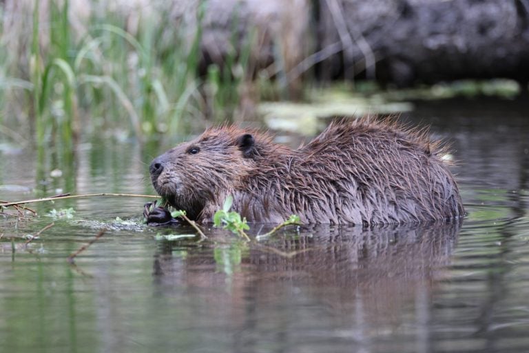
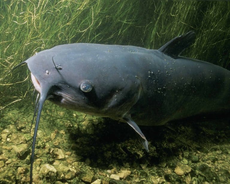
The Rio Chama supports lots of wildlife, both in and near the river. The river itself is home to several fish species, including brown trout, rainbow trout, Rio Grande chub (an endemic species), fathead minnow, longnose dace, and carp. The river also provides lots of habitat for insects, amphibians, reptiles, and mammals. Some notable animals include such as beavers, muskrats, otters, and minks.
The riparian (riparian means the banks or shores near a river and can include wetlands as well) areas along the river are important for many birds, including ducks, geese, herons, kingfishers, swallows, warblers, and hummingbirds (which migrate here during the winter).
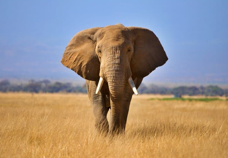
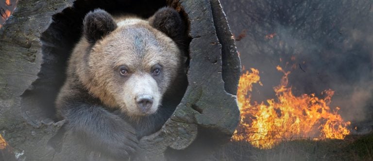
The wildlife areas surrounding the river are home to elk, deer, bear, turkey, grouse, and a whole lot more. Although not directly living in or along the shores of the river, large birds of prey live adjacent to or rely on the Rio Chama for prey. Some common species include bald eagles, golden eagles, hawks, owls, and falcons.
The History of the Rio Chama River
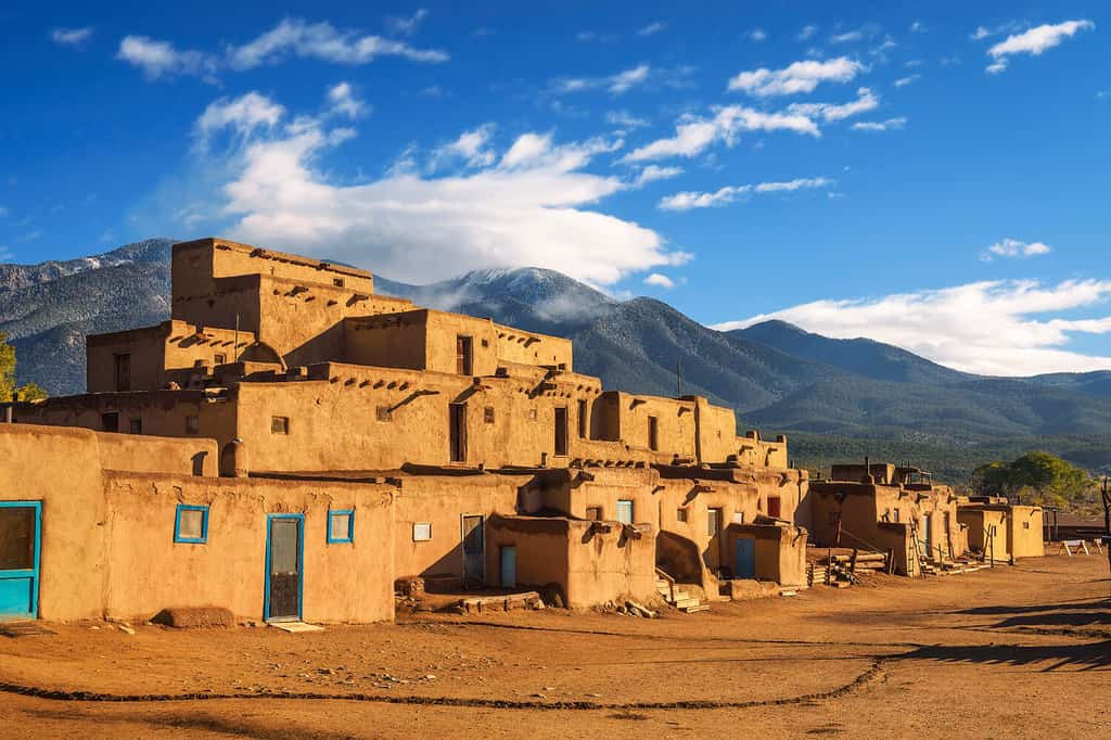
The Puebloans are some of the earliest humans to have lived in the areas around the Rio Chama.
©Nick Fox/Shutterstock.com
The Rio Chama and the surrounding areas have been inhabited by humans for nearly 10,000 years (when there were still camels in North America!). The first known inhabitants were the Puebloans, who built villages in the area thousands of years ago. Some of their ruins can still be seen today!
The next wave of settlers were the Spanish colonists who arrived in the late 16th century and built missions (churches) nearby. The Spanish named the river Chama, a shortened version of a Tewa phrase (tsąmą’ ǫŋwįkeyi) that translates to”wrestling pueblo-ruin” in English. The region became part of Mexico after its independence from Spain in 1821, and then part of the United States after the Mexican-American War.
The river flows through several towns and villages that have their own traditions and cultures. The river also flows through several protected areas that are intended to preserve the natural beauty of the region, as well as the wildlife.