

North Carolina is a state of many extremes. On one side is the Atlantic Ocean, while the other is the tallest point in the Appalachian Mountain range! One of the other unique features of North Carolina is that it’s extremely wide in relation to its height. Today, we are going to discover: How tall is North Carolina? Plus, learn a little about the state along the way. Let’s get started.
How Tall is North Carolina?

The furthest point to the south in North Carolina is around Sunset Beach near Bird Island.
©SevenMaps/Shutterstock.com
At its tallest, North Carolina is around 185 miles from North to South and has an average height of 150 miles from North to South.
North Carolina is one of the more strangely shaped states in the U.S. On a map, the most southern point of the state is somewhere around the NC/SC State Line at Bird Island (33.85096, -78.54085), a small island located to the southeast of Ocean Isle Beach, near Calabash and Sunset Beach. Bald Head Island is also extremely close (33.84306, -77.9605) to the furthest south point of landing the state, although it’s tough to perfectly measure. Regardless, it’s a number that’s probably inconsequential.
The most northern point on a map is the state line with Virginia, and as a straight line running east to west, the most northern point is anywhere taken along that line, up to the Tri-Point Marker in the northwestern corner of the state.
Drawing a line from the furthest southern point straight up to the state border with Virginia, the height measures between 183-185 miles straight up.
When taking the average, a different story emerges. As the state lines to the south move from east to west, it raises, first with South Carolina and then leveling off with Georgia. According to some sources, the average height of North Carolina is probably somewhere around 150 miles.
How long is North Carolina?
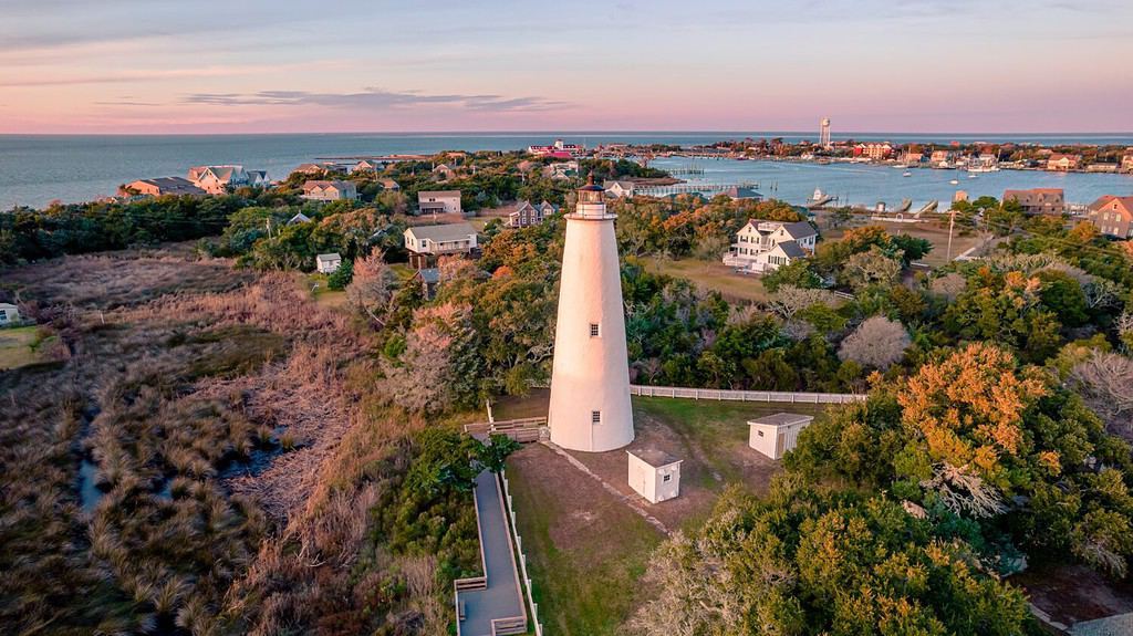
North Carolina’s Outer Banks add to the total length of the state.
©Chansak Joe/Shutterstock.com
When it comes to length, North Carolina is definitely wider than it is tall. The length of North Carolina is 503 miles, nearly 3.5x the average height.
An important note to remember, North Carolina tapers to a point on the western border (near the Wolf Creek Preserve, right on the GA/NC/TN Border Marker), but extends far into the Atlantic Ocean due to the Outer Banks region of the state (often abbreviated OBX). The OBX is a chain of islands running from the top of the state (the Virginia border), all the way south of Okracoke off the Pamlico Sound. This island chain is extremely thin but is the land border of North Carolina, adding a few dozen extra miles to the overall length of the state.
The furthest point to the east in North Carolina is the Merrimac Land Public Beach Access, between Waves and Salvo. This point is located on the Outer Banks, around 15 miles out from the nearest shore of the mainland.
The furthest point to the west in North Carolina is the GA/NC/TN Border Marker, a marker that signifies the tri-state point where Georgia, North Carolina, and Tennessee meet. This marker is located near Wolfcreek Road in the southwestern corner of the state.
How North Carolina Ranks in Size

The western part of North Carolina is covered in mountains.
©iStock.com/Sean Board
North Carolina is the 28th largest state in the United States by total area. It has a total area of 53,819.16 square miles, of which 48,617.91 square miles are land and 5,201.25 square miles are water. The state’s land area accounts for 90% of its total area, while its water area accounts for 10%.
How does North Carolina compare to other states in terms of size? Here is a list of the top 10 largest states by total area:
- Alaska: 665,384.04 square miles
- Texas: 268,596.46 square miles
- California: 163,694.74 square miles
- Montana: 147,039.71 square miles
- New Mexico: 121,590.30 square miles
- Arizona: 113,990.30 square miles
- Nevada: 110,571.82 square miles
- Colorado: 104,093.67 square miles
- Oregon: 98,378.54 square miles
- Wyoming: 97,813.01 square miles
As you can see, North Carolina is much smaller than these states in terms of total area. In fact, it is only slightly larger than the smallest state in the top 10 list, Wyoming. However, North Carolina is still bigger than 22 other states in the country.
North Carolina’s size also affects its population density and diversity. According to the U.S. Census Bureau, North Carolina had an estimated population of 10,711,901 people as of July 1st, 2020. This makes it the 9th most populous state in the nation. The state’s population density was 220 people per square mile as of 2010, which is higher than the national average of 87 people per square mile.


How to Add Us to Google News


Thank you for reading! Have some feedback for us? Contact the AZ Animals editorial team.