
The Potomac River was named the “Nation’s River” by George Washington and is rich in natural resources, culture, and history. American communities have called it home; it has experienced the American Revolution and the Civil War and has been the site of industrial progress, boosting the country’s economy.
The Potomac River offers and has experienced so much, giving rise to the query: how wide is the Potomac River at its widest point?
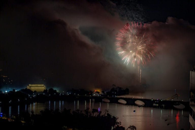
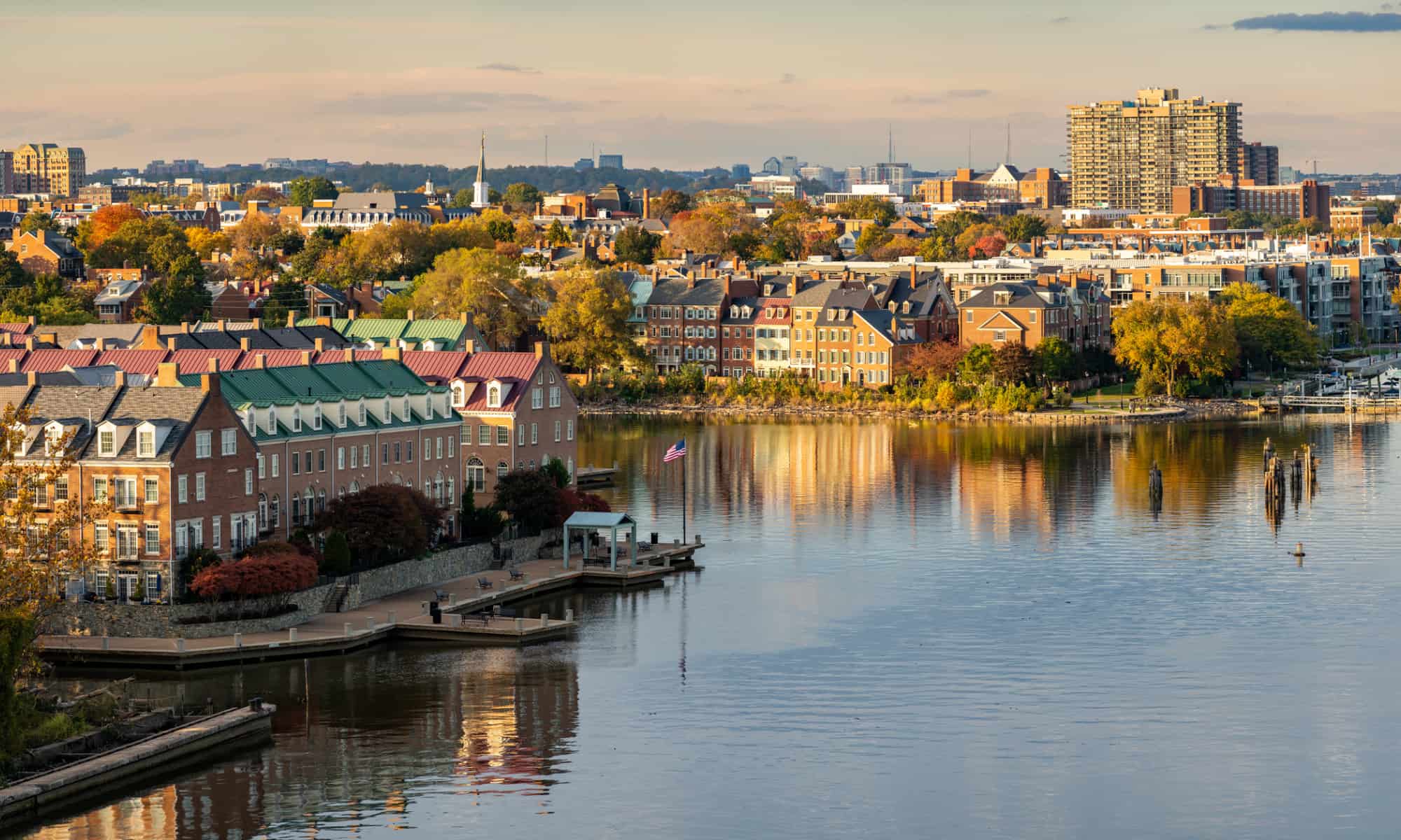
The Width of the Potomac River
The Potomac River reaches up to 11 miles at its widest.
©iStock.com/SeanPavonePhoto
The widest point of the Potomac River is between 2-8 miles, with some estimates claiming this river is 11 miles at its widest point. Point Lookout and Smith Point are at the opposite sides of this width, just before the river flows into the Chesapeake Bay.
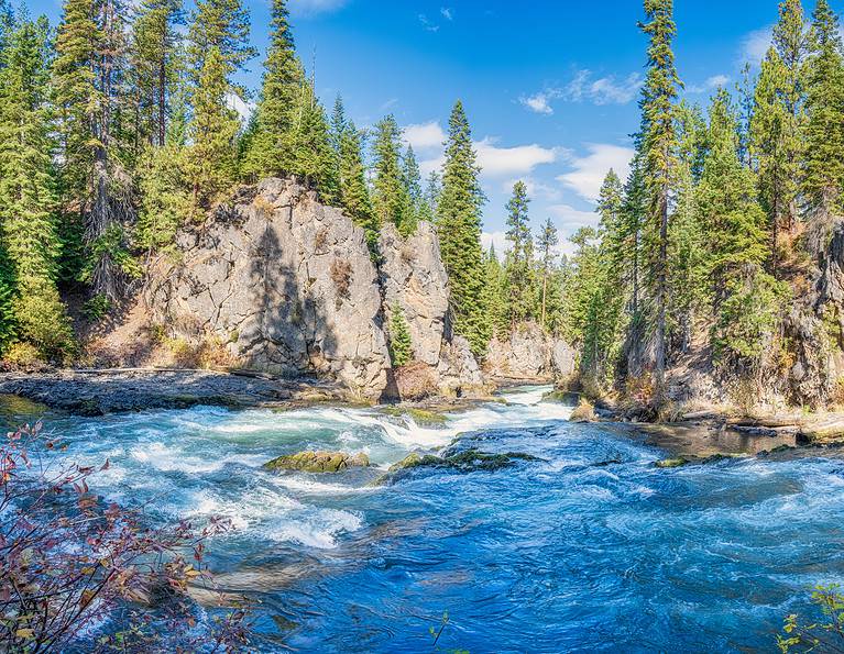
The Course of the Wide Potomac River
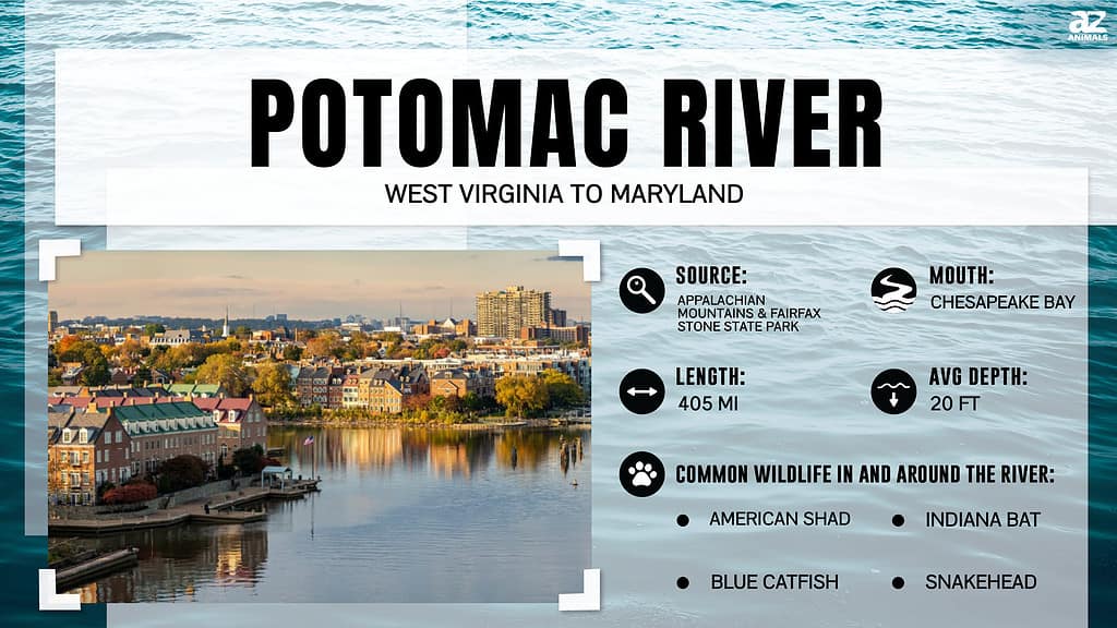
Other than its width being of interest, the length of the Potomac River is also a question that people often ask. As it turns out, scientists have measured this river to be 405 miles long.
The river starts in the Allegheny Mountains in the state of West Virginia. These headwaters are near Fairfax Stone, a historical monument near the Maryland-West Virginia boundary. Before expanding at Harper’s Ferry, the river curves through the Allegheny Mountains.
At Harpers Ferry, the Potomac meets its first tributary, the Shenandoah River. Besides the Shenandoah, the Potomac River has other significant feeders, such as:
- The South Branch of the Potomac River
- The Monocacy River
- The Savage River
- The Anacostia River
- The Conococheague Creeks
- Antietam Creek
- The Cacapon River
- Catoctin Creek
- The Occoquan River
- The Seneca Creek
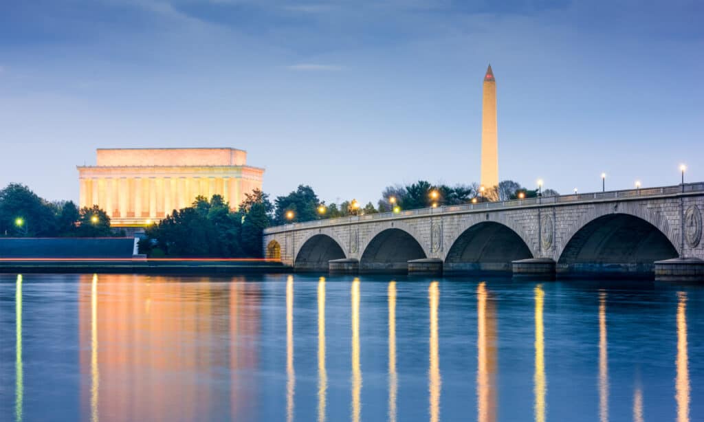
The Potomac River then flows past Maryland farmland before dropping 77 feet within one mile at the boulders of the Great Falls. Next, it glides through Georgetown, where it meets another tributary, the Anacostia River. As part of its journey, the river streams through Mount Vernon, Fort Washington, and the Northern Neck before it reaches its end and becomes an estuary. Then, it empties into the Chesapeake Bay.
The Depth of the Potomac River

The deepest point of the Potomac River is near Morgantown, measuring 107 feet.
©iStock.com/BackyardProduction
The deepest point of the Potomac River is near Morgantown, measuring 107 feet. This deep section is in the Potomac River’s tidal portion, just below Washington, D.C. There, authorities maintain a channel at a depth of 24 feet for 108 miles to ensure that ships can easily travel downstream after Washington, D.C.
The Potomac River Basin
The Potomac watershed or the river basin spans four states: Maryland, Pennsylvania, Virginia, and West Virginia. The river basin, which also flows into the District of Columbia, is 14,670 square miles and spreads over five geological provinces. These geological provinces are:
- Appalachian Plateau
- The Ridge and Valley
- Blue Ridge
- Piedmont Plateau
- Coastal Plain
According to the NLCD, most of the Potomac watershed’s land comprises 54.6% of forests and 14.1% of developed land. In addition, inhabitants use 26% of the Potomac watershed’s land area for agriculture, with the remaining 5.9% of the basin being water and wetlands.
Population and Uses of the Potomac River Basin
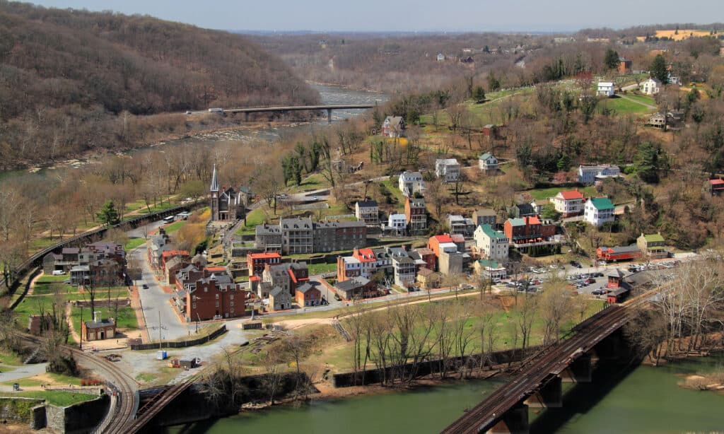
Harpers Ferry stretches across three states (Virginia, West Virginia, and Maryland) and lies along the wide Potomac River.
©iStock.com/Wilsilver77
According to the 2010 census, roughly 6.1 million people live in the Potomac River basin. This number is sure to have grown since the 2010 census. Approximately 80% of this population lives in urban areas, and people living in rural and farm areas make up close to 20% of the population. Washington D.C. is home to the largest part of the basin’s population and over 5 million people. Besides Washington D.C., other major cities within the Potomac River basin are:
- Bethesda
- Cumberland
- Hagerstown
- Frederick
- Rockville
- Waldorf
- St. Mary’s City
- Chambersburg
- Gettysburg
- Alexandria
- Arlington
- Harrisonburg
- Front Royal
- Harper’s Ferry
- Charles Town
- Martinsburg
The river and river basin offer a range of uses and benefits to the people who live within its boundaries. For example, agriculture and forestry are some of the largest industries within the Potomac watershed. Towards the northern part of the basin, coal mining and pulp and paper production are prominent industries.
Also, the Shenandoah Valley is home to chemical production and agriculture, while fishing is a significant industry in the Potomac estuary. The Washington metropolitan is a popular location for sectors like technology, services, light, and military and government installations.
History of the Potomac River
Before the arrival of European colonizers, Native Americans were the primary inhabitants near the Potomac River. Then, Spanish colonizers arrived at the Potomac estuary around 1570, which was only later mapped in 1608 by Captain John Smith. Less than 30 years later, these colonizers founded Maryland in 1634 because the river became their popular transportation route.
During this time, the upper parts of the Potomac River had remained untouched and unexplored. This lack of exploration was due to the Great Falls, the rapids around Harpers Ferry, and tensions with the Native American people.
However, over time, the Potomac and surrounding valley had become a passageway to the Ohio Valley. The Patowmack Company used this route frequently in the late 1700s, increasing trade to and from the region.
Wildlife in the Potomac River
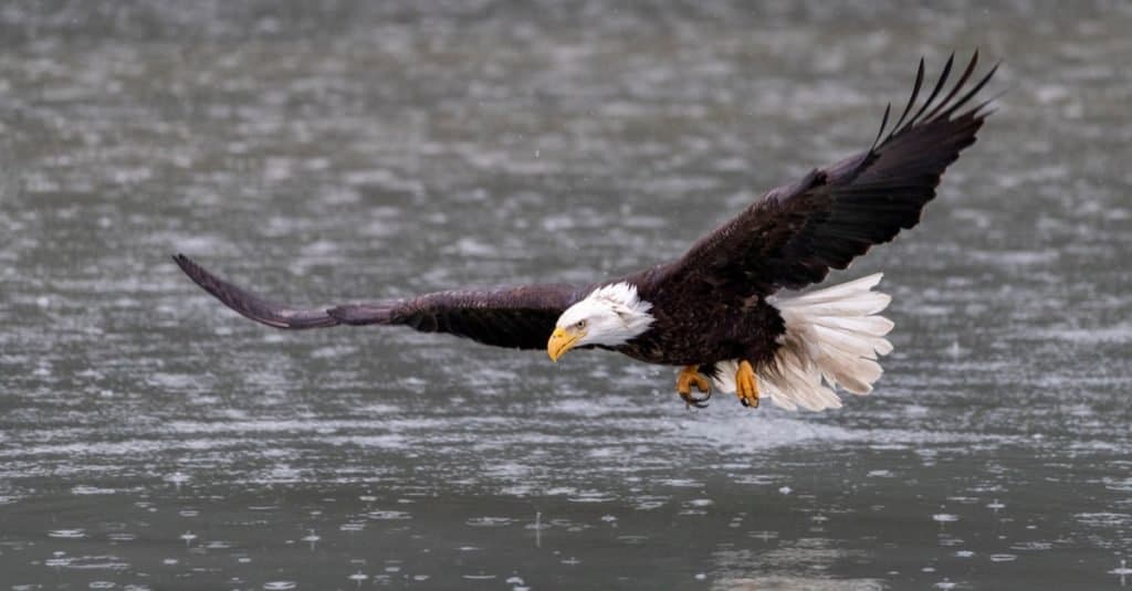
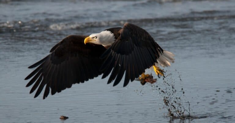
Bald eagles live and hunt throughout the U.S., including along the wide Potomac River.
©Dennis W Donohue/Shutterstock.com
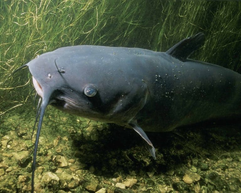
As you can imagine, the Potomac River is home to plenty of wildlife. So, you will undoubtedly come across dolphins, bass, muskellunge, pike, walleye, blue crabs, American shad, and white perch in this waterway. And although the river has not always been a healthy space for wildlife, today, it is healthy and clean, encouraging marine life and other animals to return to the river.
Bald eagles died out in the region during the 1970s, but thanks to conservation efforts, there are currently over 3,000 nesting pairs of bald eagles in the Chesapeake Bay region. In Washington, D.C., lined seahorses have also returned to the Chesapeake Bay and some of its tributaries.
Additionally, beavers, as well as horseshoe crabs, one of the river’s most ancient residents, almost reached extinction. However, horseshoe crabs, older than dinosaurs and beavers, now thrive in their thousands and maintain the delicate ecosystems within the Potomac River.
Where is the Potomac River Located on a Map?
Use the map below to find all the places mentioned in this article: the Potomac River’s origin in West Virginia near Fairfax Stone; the widest point between Point Lookout and Smith Point; Chesapeake Bay; the Shenandoah River and other tributaries that flow into the Potomac; historic sites such as Harper’s Ferry, Mount Vernon, and Fort Washington; and the spot where the Potomac is the deepest, Morgantown.