
If you want to explore the state of Kansas, it might be a great idea to do so while riding a bike. The Sunflower State is home to more than 90 trails. You’re sure to find one that will give you a great experience.
Kansas is the geographical center of the United States. It’s also pretty important in many of the migratory events that shaped what the country has become. In addition, it is full of natural wonders, including lush greenery and wide open skies.
There are so many biking trails to choose from in the state of Kansas, but which one is the longest? Keep reading to learn about the longest biking trail in Kansas!
The Longest Biking Trail in Kansas
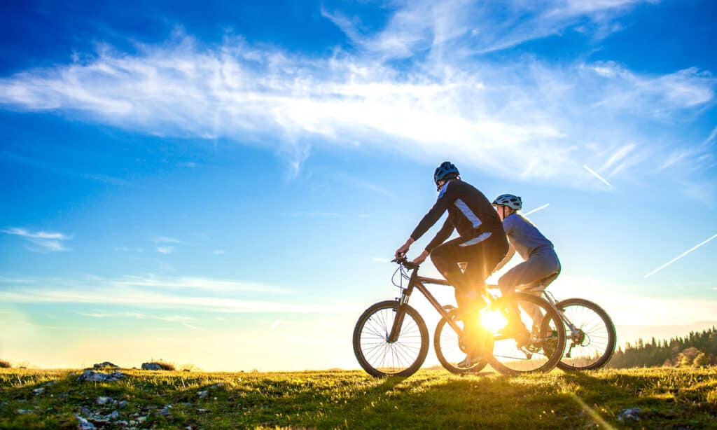
The Flint Hills Trail, extending for 117 miles, is the longest biking trail in Kansas.
©iStock.com/FS-Stock
The longest biking trail in Kansas is the Flint Hills Trail. This trail goes for about 117 miles. It follows a former Missouri Pacific Railroad line through the counties of Franklin, Lyon, Miami, Morris, and Osage in eastern Kansas. It runs parallel to the Santa Fe National Historic Trail, which was used from 1821 to 1880 to lead European settlers into the American West.
This is not only the longest trail in Kansas, but the seventh-longest rail trail in the entire nation. As implied in the name, the trail crosses the incredible Flint Hills. This is one of the few remaining tallgrass prairie ecosystems on the planet. If you traverse the entire trail, you’ll see towering bluffs, rolling farmland, quaint woodlands, rushing waters, and much more.
In fact, this trail was designated as the Flint Hills Trail State Park, which reflects how iconic it has become.
The Flint Hills Trail Route
The Flint Hills Trail isn’t officially divided into sections, but we can split up the trail at a few logical points, mainly the major towns through which it goes:
Osawatomie to Ottawa
Osawatomie is home to Mile 0 of this trail. There is signage that will guide you to the trailhead. From here to Ottawa, the trail is finished, and you will see lovely views of the Maris De Cygnes River along the way.
Ottawa to Pomona
Ottawa is home to many worthwhile landmarks, such as Historic Main Street, the Old Depot Museum, and the Plaza Theater. The portion of the trail between Ottawa and Pomona is finished and ready to travel. You can enjoy crossing the Marais de Cygnes River Bridge and see some friendly barking dogs as you go through the Osborne Road Detour.
Pomona to Vasser
The trail along this portion is finished, although you should be prepared for a little bit of an uphill grade going into Vasser. You can go through Pomona Lake State Park, which is home to the best camping facilities on the entire trail.
Vasser to Osage City
The portion of the trail between Vassar and Osage City is maintained. However, it becomes less so as you near Osage City. Osage City is a good place to stock up on any supplies you may need, as there are many services available. There are also minimal options between here and Council Grove.
It would be a good idea to take the Osage City detour through the town, as the trail is not maintained in the town.
Osage City to Admire
The trail condition is not very well maintained; in fact, this is the least finished section of the trail. While biking, you may see ruts, potholes, and light brush. There are no facilities in Admire, except for a post office with limited hours.
Admire to Allen
The trail is not very well maintained in this area either, with possible potholes, ruts, and light brush. In Allen, there is a restaurant called Keianna’s Dive, which has bathroom facilities. There is a library and post office with limited hours.
Allen to Bushong
The trail in this stretch is maintained and close to being finished, but there are no services in Bushong.
Bushong to Council Grove
This portion of the trail is finished and particularly smooth. It contains the highest point on the entire trail, which is at an elevation of 1,439 feet. You can also go through the 168-acre Allegawaho Heritage Memorial Park.
Once you get to Council Grove, there are many services available, including camping facilities at the Council Grove Lake. You can visit the Trail Days Cafe and Museum, as well as the Council Grove Historic District.
Where is Flint Hills Trail on a Map?
The Flint Hills Trail runs due west from Osawatomie to Council Grove, running along the old Missouri Pacific Railroad Line. It stretches for 117 miles through the counties of Franklin, Lyon, Miami, Morris, and Osage in eastern Kansas.
Planning for a Tour of Kansas’s Longest Biking Trail
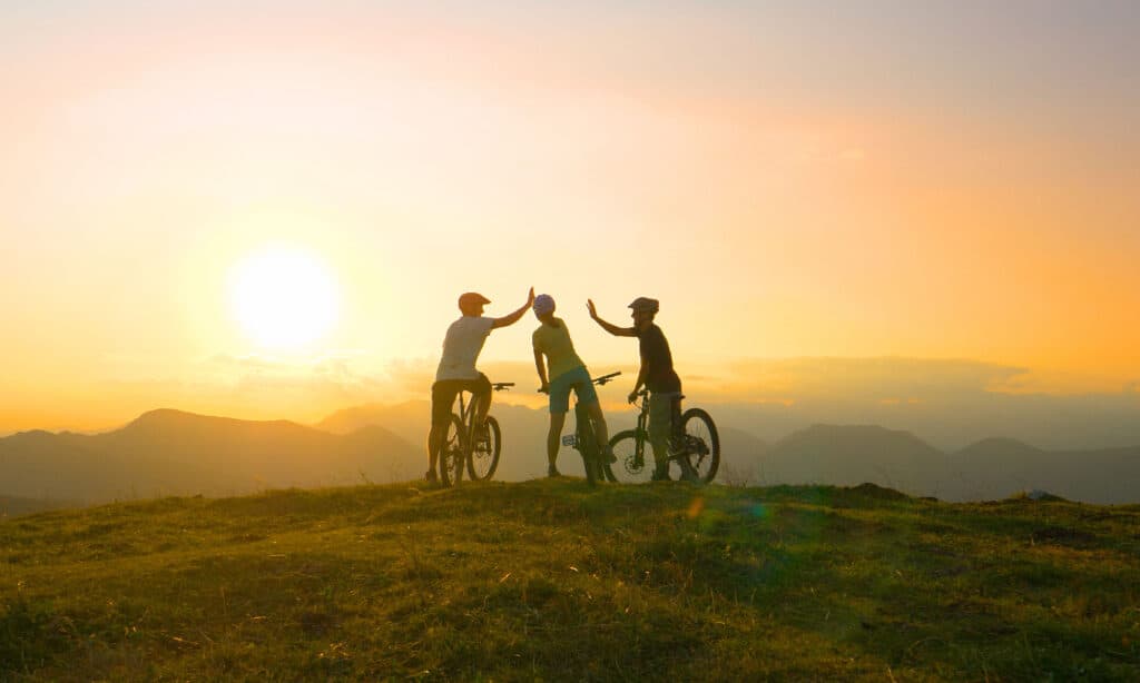
The Flint Hills Trail is considered to be a moderately challenging route.
©iStock.com/helivideo
There are a few things you need to take into consideration when planning a journey on this trail. First of all, since it is so long, there are many access points. You should consider which one would be the best for you to enter the trail. Additionally, some parts of the trail are in better condition than others, and you should be aware of this going in.
Make sure you have some idea of what the weather is going to be like when you plan to ride along the trail. Some parts of the trail are covered with gravel or mud, and it can be harder to ride when it’s wet.
Navigating the Route
The Flint Hills Trail isn’t well-maintained throughout. For example, at milepost 44 to 44.5, the trail is undeveloped. There are also detours west of Ottawa and through Osage City. If you plan to traverse the entire trail, you should be aware of these detours. Also, be prepared for the busy highway crossing at milepost 26.9.
Be aware that from Council Grove to Herington (the last 26 miles of the trail), the trail is undeveloped and not open to riders.
It helps to have a map to guide you; you can find online maps on the website.
The Flint Hills Trail Difficulty
The Flint Hills trail is generally considered to be moderately challenging. It is somewhat long, and although it is well-marked for the majority of the trail’s course, there are some undeveloped parts.
At some points, you’ll have to deal with a bit of an upward incline. You’ll also be biking quite a bit on packed gravel. Additionally, at almost 27 miles into the trail, you will have to cross a busy highway, which can be somewhat difficult.
However, for the most part, the trail will offer you a fairly smooth ride. Also, you will get to enjoy a lot of the natural scenery that Kansas has to offer!
Wildlife on the Longest Biking Trail in Kansas
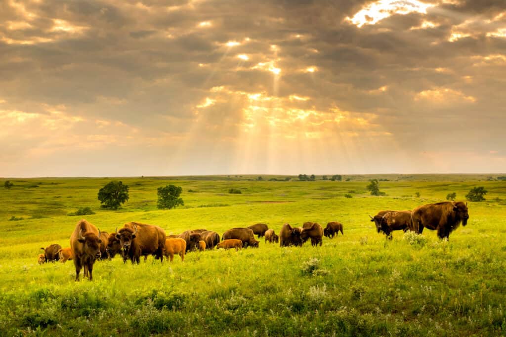
In Flint Hills, you’ll see a rare preserved prairie ecosystem full of typical prairie wildlife.
©Ricardo Reitmeyer/Shutterstock.com
As you are biking along the Flint Hills Trail, you are likely to see a few examples of native wildlife in Kansas. You might see foxes, bobcats, and coyotes, for example.
You might see many bison, as well as beavers, muskrats, raccoons, and opossums. There are also many birds in this state, including bald eagles, bluebirds, and great-horned owls.
In Flint Hills alone, you will see many examples of prairie wildlife. There are more than 40 different species of amphibians and reptiles here. These include various frogs, toads, salamanders, snakes, lizards, skinks, and turtles.
You may also see any of more than 30 species of mammals, including prairie dogs, badgers, red foxes, the white-tailed deer, the black-tailed jackrabbit, the Eastern cottontail, various species of bats, and more.
This ecosystem is home to a minimum of 35 species of fish and hundreds of aquatic invertebrates. There are also more than 200 species of birds, including various waterfowl, herons, falcons, vultures, sandpipers, hummingbirds, woodpeckers, and more.
Read More:
The Longest Biking Trail in Arkansas
The photo featured at the top of this post is © Barbara Kalbfleisch/Shutterstock.com


How to Add Us to Google News


Thank you for reading! Have some feedback for us? Contact the AZ Animals editorial team.