

You’ve surely heard of U.S. Route 66, running from Chicago to L.A. Did you know that a good chunk of the Mother Road still exists in Arizona? In fact, you’ll find the same basic start and end points of the road in the state still exist, with some thrilling tourist attractions along the way. Let’s see where U.S. Route 66 starts and ends in Arizona and see what there is to visit as you go.
Where Does Route 66 End and Begin in Arizona?
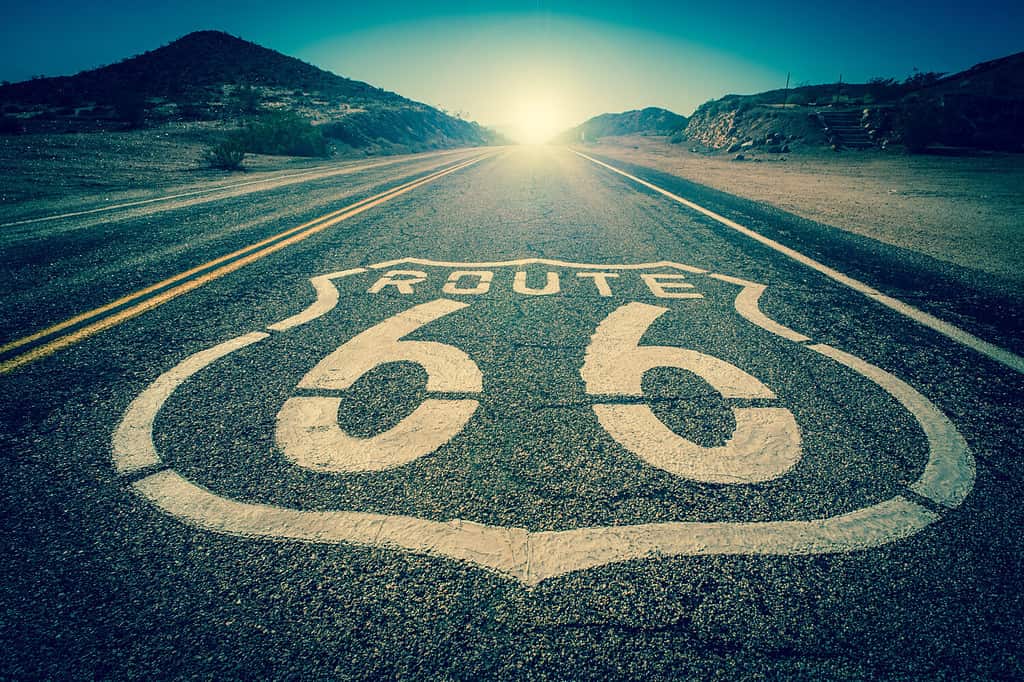
Historic Route 66 is one of the best known roads in the country. The road once ran, nonstop, straight through the state from one end to the other. Today, the highway lies in “pieces” along its old route.
©gabriel12/Shutterstock.com
U.S. Route 66 in Arizona enters the state from the west from Needles, California at Kingman, Arizona. Its eastern terminus is near Seligman on Interstate 40 at exit 123.
Exciting Stops Along Route 66 in Arizona
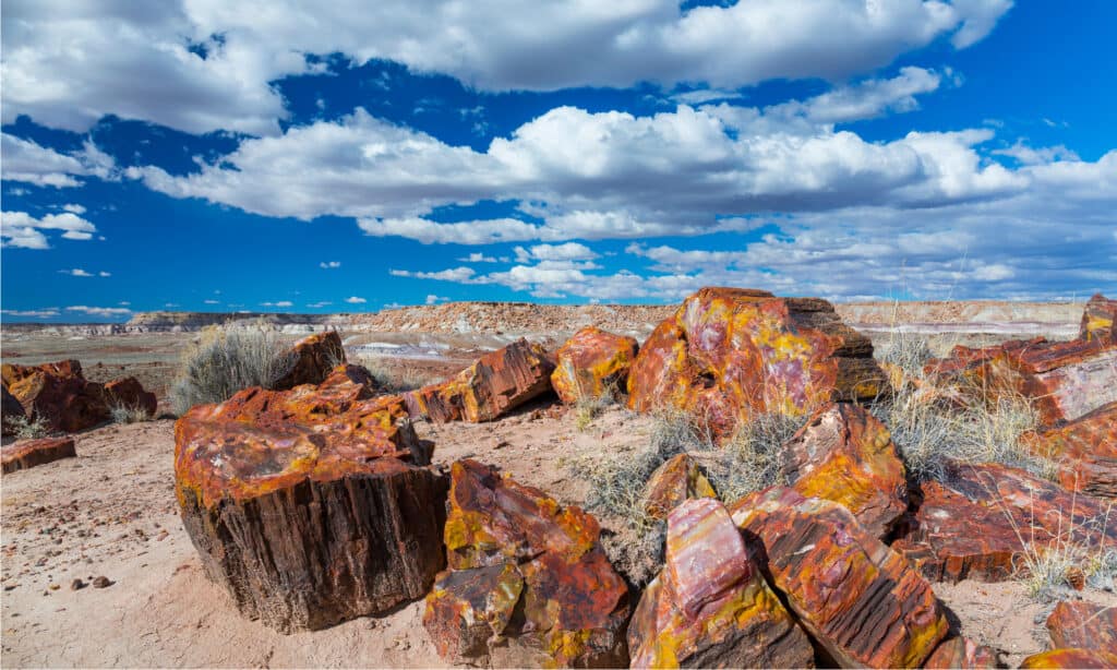
One of the most exciting stops along U.S. Route 66 in Arizona is the Petrified Forest National Park.
©Juan Carlos Munoz/Shutterstock.com
Once the Mother Road of America, Route 66 in Arizona remains one of the most intriguing and exciting road trips in the country. Along this route, you’ll find many exciting stops. Stop along for amazing hiking, incredible waterfalls, beautiful parks, and more.
- Holbrook
- Winslow
- Havasu National Wildlife Refuge
- Homolovi State Park
- Petrified Forest National Park
- Flagstaff
- Sunset Crater Volcano National Monument
- Walnut Canyon National Monument
- Williams
- Seligman
- Peach Springs
- Hualapai Tribe
- Kingman
- Oatman
Route Description of U.S. 66 in Arizona
While much of the Historic Route 66 is no longer connected, and in places destroyed, much of the road remains in-tact in Arizona. In fact, U.S. 66 serves as the main east to west highways through the northern end of the state. With some 380 miles originally in the state, the road ran from Oatman to Kingman. Later on, the section of the route between Topock and Kingman saw realignment going through Yucca, Arizona. Apart from major cities along the route, much of the “country” and small-town portions of Route 66 has been destroyed or merged into sections of Interstate—40.


How to Add Us to Google News


Thank you for reading! Have some feedback for us? Contact the AZ Animals editorial team.