
Among the United States’ major rivers is the Mississippi River. It stretches 2,340 miles from start to finish. Additionally, the river played a major role in industrializing the United States.
The river is a significant source of hydroelectric power, provides drinking water to millions of people, and supports a variety of ecologically and economically important fish species. However, another interesting fact is that the Mississippi River eventually meets up with the Gulf of Mexico and the results are quite astonishing.
The place where the Mississippi meets the Gulf of Mexico is spectacular for a number of reasons – so let’s take a look at them!
The Mississippi River Should End At An Entirely Different Location
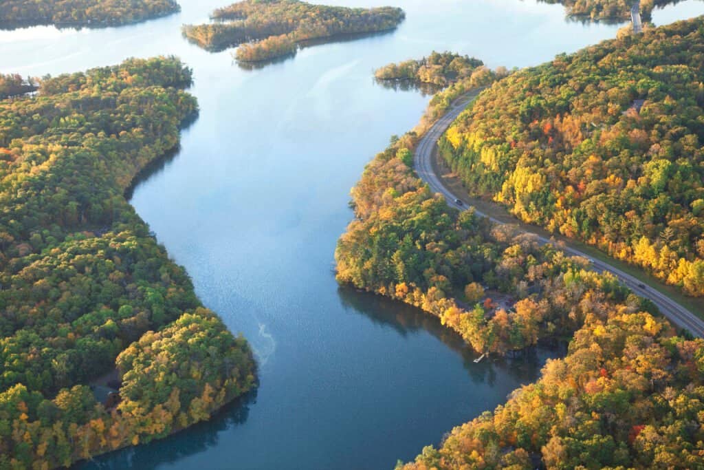
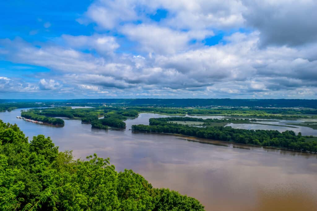
The Mississippi River is the world’s third-largest river basin.
©iStock.com/Willard
Apparently, the Mississippi River has a different route in mind that it would like to take than the one it takes now. Let us explain. The Mississippi River originates from Lake Itasca.
Itasca State Park in Minnesota is where the river’s headwaters are, about 2,340 miles from its mouth. The Mississippi River flows south from there, traversing eleven states on its way to Louisiana before reaching the Gulf of Mexico.
In Louisiana, however, the river passes through many control systems. These include levees and the Old River, a former tributary of the Mississippi. Due to the blockage of the river’s natural course, water has been diverted to the Mississippi.
By this reasoning, the river wouldn’t take the course it does today if it were allowed to choose its own course.
What Port City is Located Where the Mississippi River flows into the Gulf of Mexico?
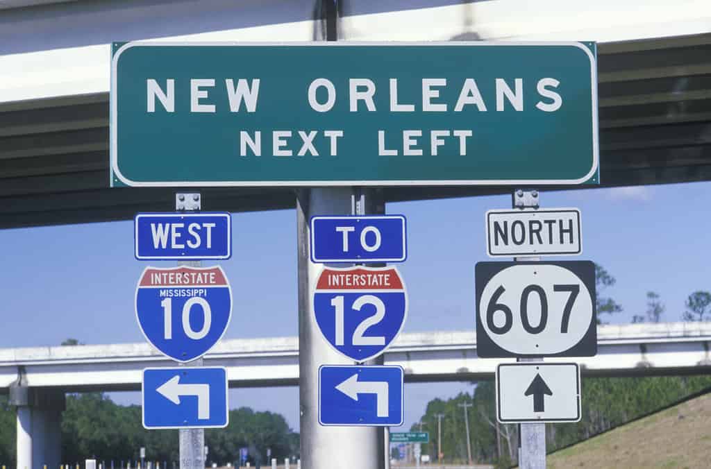
New Orleans is the main port that the Mississippi flows into the Gulf of Mexico.
©Joseph Sohm/Shutterstock.com
The Mississippi River flows into the Gulf of Mexico approximately 100 miles downstream from New Orleans. The precise measurement of the river’s length from Lake Itasca to the Gulf of Mexico may vary slightly.
Additionally, spanning a length of approximately 2,350 miles, the Mississippi River served as the initial habitat for Native Americans before the arrival of European settlers in the 16th century.
Subsequently, it played a pivotal role as a geographical boundary for territorial claims by Spain, France, and the early United States.
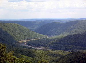
The Natural Ending Spot Of The Mississippi River
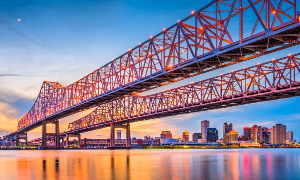
The Mississippi River is home to a wide range of creatures, including at least 260 different species of fish.
©Sean Pavone/Shutterstock.com
By nature, the Mississippi River would prefer to take a different course than it does at the moment. Instead of following its natural path, which would mean being pushed by gravity down the Atchafalaya River basin to the Gulf of Mexico it instead follows a different path. It continues down the Mississippi’s current channel past Baton Rouge and New Orleans on a longer route to the Gulf.
Together with the Morganza Spillway and several levees, the Old River Control Complex keeps the Mississippi River’s main channel flowing in its present direction. Without this diversion, however, Baton Rouge and New Orleans’ economies would suffer. They would lose their major freshwater source.
There Is A Massive Dead Zone Where The Mississippi River And Gulf of Mexico Meet
The Gulf of Mexico dead zone is a region of hypoxic water near the Mississippi River’s mouth.
©Anton Balazh/Shutterstock.com
First, let’s define what exactly a dead zone is. Generally speaking, hypoxic regions in a body of water are referred to as “dead zones.” Hypoxic zones often occur as a result of excessive fertilizers and sediment being introduced to the water. Particularly, in this case, nitrogen and phosphorus enrichment from the Mississippi River leading into the Gulf of Mexico causes the dead zone.
From Montana to Pennsylvania and downstream along the Mississippi River, the Mississippi River Basin drains much of the United States. Agricultural activities in the Mississippi River Valley contribute to the majority of nitrogen in the environment. Through fertilizer runoff, soil erosion, animal waste, and sewage, nitrogen and phosphorus enter the river.
Dead zones are common across the globe. Some locations include the Baltic Sea, Black Sea, and even Lake Erie. However, what makes this dead zone in the Gulf of Mexico so remarkable is that it is one of the largest in the world. In fact, the size of the dead zone in the past was equivalent to New Jersey. In 2017, there was an 8,776 square-mile dead zone in the Gulf of Mexico. Compare this to the size of the state of New Jersey which is only 8,723 square miles.
The Impact of Dead Zones
However, the size of the dead zone varies depending on a few factors. Agricultural techniques worsen the dead zone periodically, resulting in varying sizes. Also, weather disasters such as flooding and storms exacerbate the situation.
The 2017 measurement, however, reflects persistent increases in the dead zone area, the largest on record. As the dead zone expands, the number of issues it causes and its seriousness increase.
The seafood sector depends heavily on the Gulf of Mexico. The Gulf of Mexico produces forty percent of the country’s seafood. This in turn boosts billions of dollars in revenue for fishing and tourism businesses in five states every year. Because of this, fishermen and coastal state economies would suffer greatly if the hypoxic zone persists or increases.
The Meeting Of The Two Bodies of Water Creates The Mississippi River Delta
The Mississippi River Delta is located in Louisiana, where the Mississippi River meets the Gulf of Mexico.
©EyeTravel/Shutterstock.com
For thousands of years, the Mississippi River Delta was shaped by sand, silt, and clay deposited in the warm waters of the northern Gulf of Mexico by North America’s massive river. By the time Europeans arrived, the Mississippi Delta plain covered 7,000 square miles. This makes it one of the world’s largest river deltas.
Today, the Mississippi River Delta is one of the largest in the world. Both the local and national economies benefit from the Delta shipping, fishing, and tourism industries.
Over the past several hundred years, however, humans have altered the river system. This has led to the death of the delta. Since the 1930s, Louisiana has lost around 1,900 square miles of land, which has disappeared into the open ocean.
Tropical storms Katrina and Rita continue to exacerbate the coastal crisis. It is estimated that the Mississippi River Delta loses one football field per hour on average. Along with that, its area has decreased by 5,000 square miles in the past 80 years.
Loss Of The Mississippi River Delta and Its Impact
The deltas are one of the most diverse and important marine eco-regions on earth. A variety of wildlife inhabits the Mississippi River Delta. These include migratory birds, commercially valuable fish, shellfish, and endangered or vulnerable species like the Louisiana black bear. In addition to housing approximately two million people, the coastal zone also houses a number of essential enterprises that provide the country with food and power.
There are a variety of groups working on large-scale restoration projects. These projects work to ensure the region is safe and sustainable for humans and wildlife for years to come.
The photo featured at the top of this post is © lavizzara/Shutterstock.com

How to Add Us to Google News


Thank you for reading! Have some feedback for us? Contact the AZ Animals editorial team.