
Some of the world’s largest man-made lakes are in Canada, the land of two million lakes and counting. The overwhelming majority of these are nature’s handiwork, but humans have also done their part to add to the tally. In fact, Canada is home to about 14% of all lakes larger than 193 square miles, 10 of which we’ll discover are among the 10 largest man-made lakes on Earth.
These lakes have been constructed over time, often taking decades or more to complete. From hydropower dams to mining quarries, these lakes are spread out across the country in diverse landscapes.
In this article, we will look at the ten largest man-made lakes in Canada, from the largest in British Columbia to the smallest in Saskatchewan. These lakes stand testimony to the marvels of human engineering and true beauty of Canada’s expansive and unique landscapes.
1. Smallwood Reservoir: Largest Reservoir in Canada
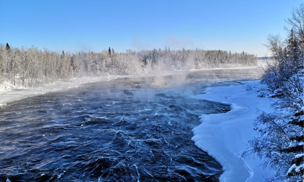
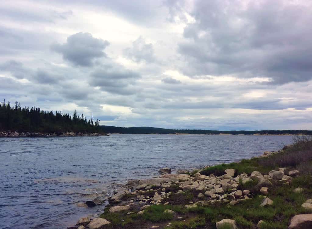
At 2,520 square miles, Smallwood Reservoir is Canada’s 10th largest freshwater body, the largest man-made lake in the country, and the second largest on Earth. Located in Newfoundland and Labrador, the reservoir was named for the first premier of Newfoundland, Joey Smallwood.
Smallwood Reservoir is the site of Churchill Falls Plant, Canada’s second-largest hydroelectric power station and the 10th-largest in the world. But, the most interesting thing about this reservoir is that it took 88 dikes totaling 40 miles in length to impound the Churchill River drainage area.
The Churchill River was dammed at Churchill Falls, while numerous distributaries and lakes were diverted or diked to form the reservoir. The largest dike is 118 feet tall while the longest is 3.7 miles long, in addition to a complicated system of control structures and spillways that help to control water flow.
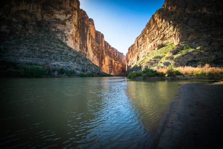
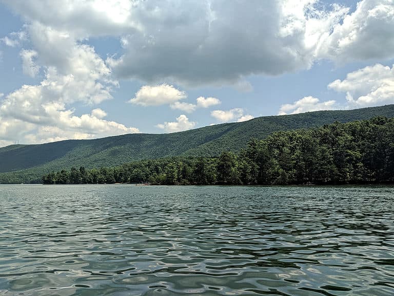
Fun Fishing Destination
The whole project took more than 9 years to complete between 1966 and 1974. The result was a reservoir covering well over a million acres, flooding hundreds of small lakes and wetlands that were part of the Churchill River ecosystem.
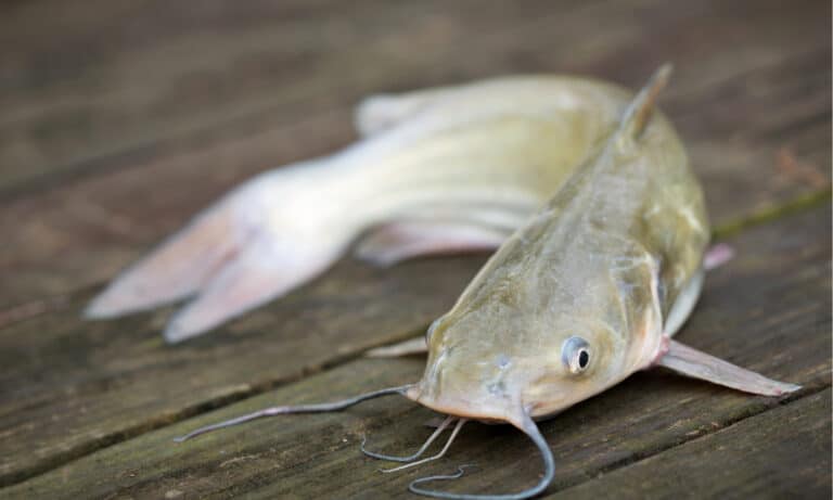
Today, the Smallwood Reservoir is a fishing and recreational destination of truly epic proportions. It boasts a 2,824 km (1,755 mi) shoreline surrounded by a vast wilderness paradise. You can catch giant trophy fish such as landlocked salmon, lake trout, brook trout, whitefish, and northern pike.
Hunters will enjoy the largest herds of caribou and moose on the continent as well as plentiful geese, coyotes, and wolves, among other wild game. Winter on the lake is magical, with many activities such as skiing, dog sledding, or simply kicking back to watch the Aurora Borealis.
This crystal-clear lake is home to an abundance of wildlife. It allows nature enthusiasts ample opportunity to explore and appreciate its beauty. Home to a four-season climate with heavy winters and strong winds, the reservoir is a natural wonder that seldom fails to impress visitors.
The Churchill River was dammed at Churchill Falls, while numerous distributaries and lakes were diverted or diked to form the reservoir.
©Honeybadger Connect/Shutterstock.com
2. Caniapiscau Reservoir
The Caniapiscau Reservoir in Quebec is the largest water body in the province and the second-largest man-made lake in Canada. At 1,667 square miles in surface area, the reservoir is one of eight that form the James Bay (La Grande) hydroelectric project.
Lake Caniapiscau started life as one of many small glacial lakes formed by meltwater about 9,000 years ago, covering about 181 square miles. When Phase 1 of the James Bay Project was started in 1975, the region around the upper Caniapiscau River had already been identified as a prime location for a reservoir.
Largest Lake of the James Bay Project Reservoirs
Two dams and 43 dikes were built In the headwaters of the Caniapiscau River in the Côte-Nord administrative region to flood a natural depression in the Laurentian Plateau, growing the original lake more than nine times to its current size and swallowing several other lakes.
Today, the Caniapiscau reservoir stretches 75 miles in length and 84 miles in breadth and impounds 53.8 12.9 cubic miles of water. It is the largest of the James Bay Project reservoirs and boasts about 3000 miles of shoreline, 300+ islands, and virgin taiga all around.
Lake Caniapiscau is a highly popular fishing and hunting destination, even though it’s very remote and only accessible by bushplane. Visiting this lake provides an authentic wilderness experience not unlike that of early explorers who first penetrated the bogs, crags, and untouched forests of the Canadian North.
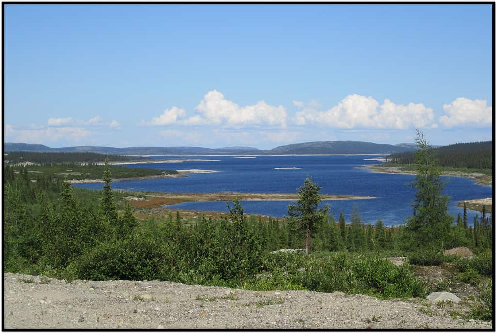
The Caniapiscau Reservoir in Quebec is the largest water body in the province and the second-largest man-made lake in Canada.
©guyvail, CC BY-SA 3.0, via Wikimedia Commons – Original / License
3. Robert-Bourassa Reservoir (La Grande-2)
The Robert Bourassa Reservoir is another of the eight reservoirs built as part of the James Bay/La Grande Project. The Robert Bourassa dam built across the La Grande River between 1974 and 1978 impounded the river to form a 1094 square mile reservoir with a capacity of 14.8 cubic miles.
The dam itself is 1804 feet high at its base and was constructed in the La Grande River valley 73 miles from its mouth. More dikes were also constructed to help control the water and keep it in the reservoir.
Impressive Hydroelectricity Generating Plant
In total, the entire La Grande complex stretches 497 miles to the Caniapiscau Reservoir and consists of 11 power plants with a generating capacity of 17,418 MW. That’s over eight times more than the Hoover Dam!
Until today, the La Grande project has been one of the world’s biggest construction projects ever. If you would like to marvel at the power of hydroelectric power in person, you can tour the La Grande-1 and La Grande-2 power stations for free to witness the powerful turbines in action, or view the entire project from the air by taking a helicopter ride.
The Robert-Bourassa hydropower station in Radisson produces 20% of Quebec’s electricity, a true honor to Quebec Premier Robert Bourassa who first proposed the James Bay project in 1971.
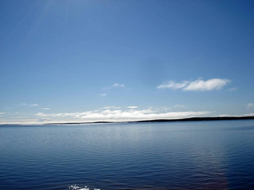
The Robert Bourassa Reservoir is another of the eight reservoirs built as part of the James Bay/La Grande Project.
©fargomeD, CC BY-SA 3.0, via Wikimedia Commons – Original / License
4. La Grande-3 Nord Reservoir
As the third-largest reservoir in the James Bay Project, La Grande-3 covers 930 square miles with a power station capable of generating 2,418 MW of power. The reservoir can hold 14 cubic miles of water and was completed in 1981 during Phase 1 of the project.
Just like the other reservoirs in the James Bay Project, La Grande-3 flooded many thousands of acres traditionally belonging to native Cree, Inuit, and Chisasibi people. It also drowned the natural habitat of animals like muskrats and beavers, destroying the livelihoods of thousands of people. The construction of La Grande-3, part of the James Bay Project, had devastating consequences for Indigenous populations in the area.
As the third-largest reservoir in the James Bay Project, La Grande-3 covers 930 square miles.
©Campitibi, CC BY-SA 4.0, via Wikimedia Commons – Original / License
5. Manicouagan Reservoir: Largest Arch-Buttress Dam
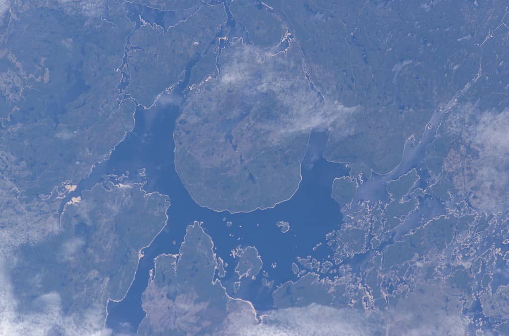
The story of the Manicouagan Reservoir begins 214 million years ago when a 3 mile long asteroid blasted an impact crater 60 miles in diameter. Two crescent-shaped lakes formed in the resulting crater. To the east was Lake Manicouagan, and Lake Mouchalagane lay to the west.
Feasibility studies conducted between 1955 and 1960 revealed the crater and river Manicouagan held great potential for a hydroelectricity project. In the early 1960s, the Manicouagan-Outardes project was initiated to construct a total of 8 dams: 5 on the Manicougan and 3 on the Ourtardes rivers.
The Daniel-Johnson dam was constructed across the Manicouagan River to flood lakes Manicouagan and Mouchalagane and was completed in 1968. The dam was designed to be an arch-buttress concrete structure which, at 702 feet tall and 4,311 feet across, is the largest of its type in the world.
Manicouagan Reservoir was born from a colossal asteroid impact, revealing twin lakes within a monumental crater.
©J-A Béland, CC BY-SA 4.0, via Wikimedia Commons – Original / License
Source of Quebec Pride and Power
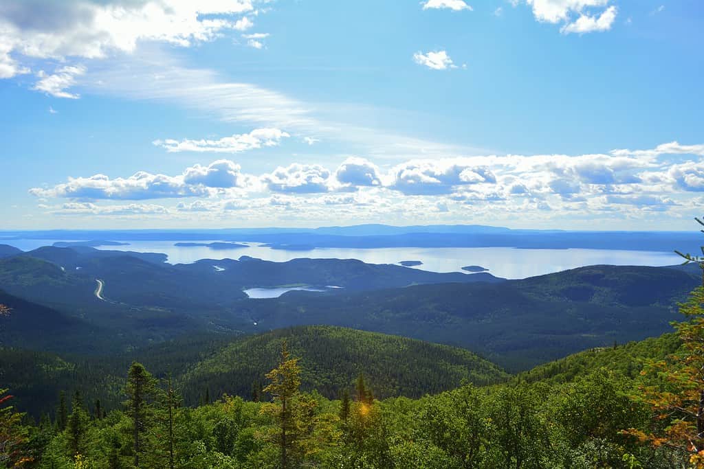
By 1977, the reservoir behind the dam filled up to create the 749 square mile Manicougan reservoir. The lake is up to 1,150 feet deep and impounds 34 cubic miles of water. Lake Manicouagan is one of the largest freshwater reservoirs in Canada and in the world, in addition to being a source of pride in Quebec due to its ingenuity.
The reservoir now serves multiple hydroelectric power generating stations, including the Jean-Lesage station (Manic-2), René-Lévesque station (Manic-3), and Daniel-Johnson Dam (Manic-5) station. The stations have a combined generating capacity of 2,660 MW.
As the water levels rose, the Manicouagan reservoir completely circled the slightly more elevated land in the middle. The René-Levasseur island rises to 1970 feet above the lake level at its highest point. When viewed from space, the annular lake and island in the middle are striking, forming what is popularly called “The Eye of Quebec.”
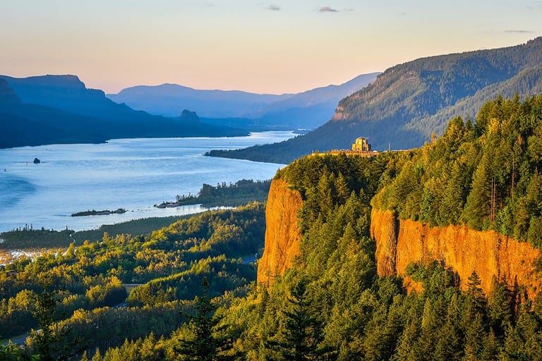
Beautiful Tourist Destination
The island and the beautiful buttressed dam are popular tourist destinations. The reservoir also offers decent fishing with lots of brook, lake, and speckled trout, landlocked salmon, northern pole, and lake whitefish. Although boats are allowed, dangerous waves can develop quickly due to strong winds, and swimming is only allowed for a few weeks in midsummer.
Here’s a fun fact: the René-Levasseur island in the middle is actually larger in surface area than the circular lake that surrounds it: 499,200 acres of land versus 481,856 for the water. Of the land acreage, 58,168 acres are dedicated to the Louis Babel Ecological Reserve. The rest of the island is covered in sparse vegetation and even fewer animals, including bears.
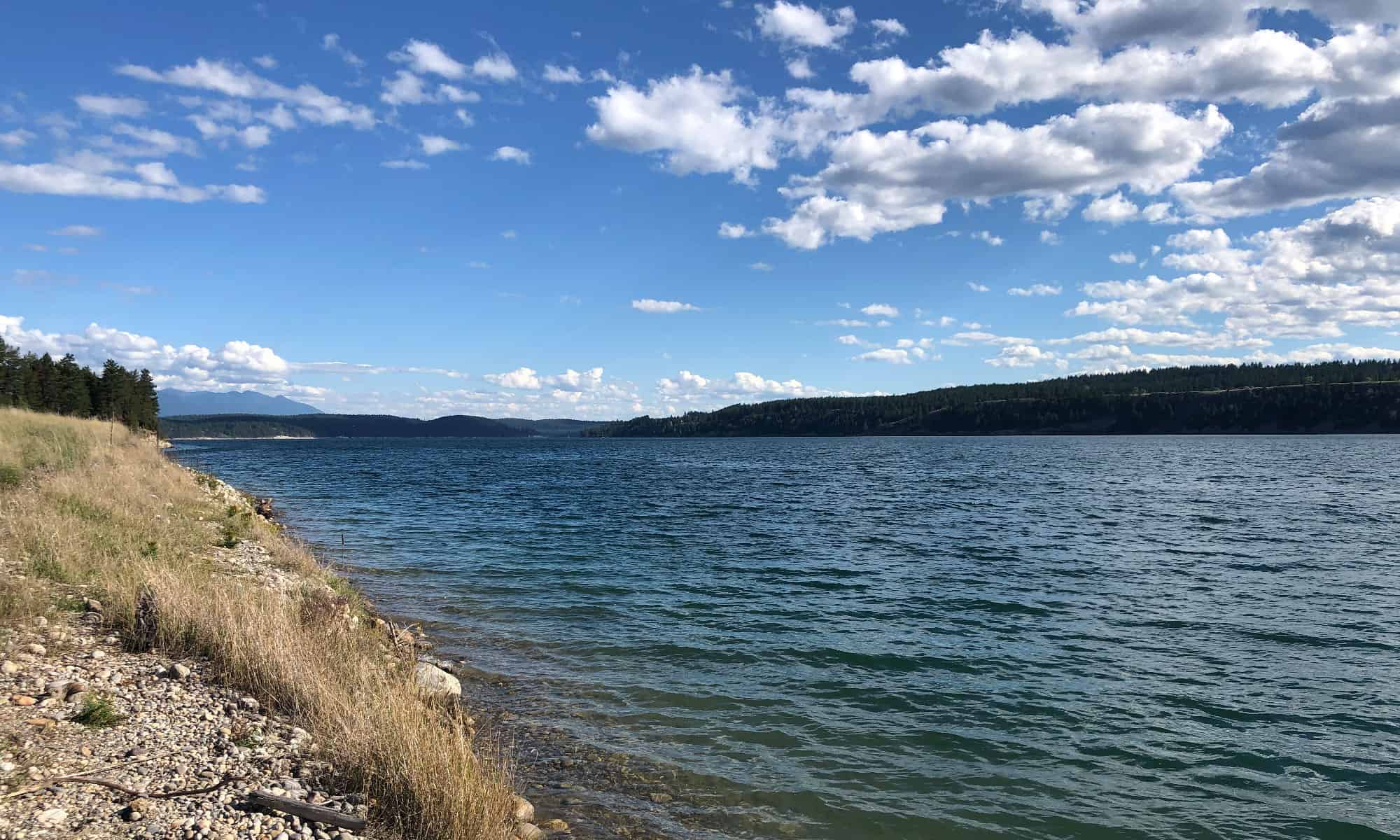
6. Williston Lake: Seventh-Largest by Volume
Williston Lake is the largest in British Columbia and the seventh-largest artificial lake in the world by volume. Located near Hudson Hope and Mackenzie, the reservoir is 156 miles long, 96 miles wide, and covers an area of 422 cubic miles.
Though it’s only the 6th-largest in Canada by surface area, Williston Lake is the 7th-largest in the world by volume thanks to its depth.
Created by the construction of the W.A.C Bennett Dam, Williston Lake was formed by the impounding of the Peace River at the Rocky Mountain Trench. It formed where the Finlay and Parsnip Rivers originally met to form the Peace. Several other rivers flow into the lake and make it a top destination for angling if you’re looking for bull trout, rainbow trout, and whitefish.
What To Do at Williston Lake
Other summer activities include swimming, boating, and water skiing. The lake starts to freeze over in November, ushering in a season of numerous winter activities such as snowshoe running, ice fishing, and riding snowmobiles. However, the lake can get very dangerous in winter if the temperature changes and the ice becomes thin or melts.
Other fun activities to do around Williston Reservoir include hiking in the surrounding parks, horseback riding, and watching local wildlife.
As with other artificial lakes, Williston Lake was built mainly to produce hydropower. The W.A.C. Bennett Dam that created the lake is 600 feet high and 6,784 feet long and houses the G.M. Shrum power station. The station puts out 2700 MW of power, then feeds its used water to the W.A.C. Bennett hydroelectric station 23 km downstream.
7. Laforge-1 Reservoir
The LaForge River is a tributary of the LaGrande, making Laforge-1 part of the James Bay Project. The reservoir was completed and the generation plant was commissioned in 1993 and currently puts out 878 MW of power.
The LaForge Reservoir covers 501 square miles and is quite shallow, with an average depth of 18 feet. Located in Montérégie, Quebec, the reservoir has since become a highly popular kayaking and fishing destination.
The LaForge Reservoir covers 501 square miles and is quite shallow, with an average depth of 18 feet.
©P199, CC BY-SA 2.5, via Wikimedia Commons – Original / License
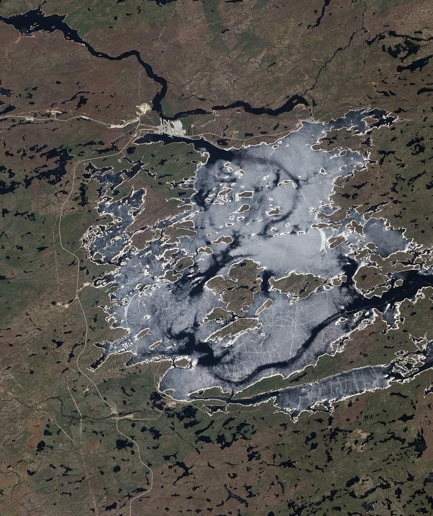
8. Pipmuacan Reservoir: Rich Fishing and Hunting
The Pipmuacan Reservoir, named after the local Innu name for “arrow,” emerged after the flooding of two natural lakes: Lake Pipmuacan and Lake Casse. Located at the border of Cote-Nord and Saguenay Lac-Saint-Jean administrative regions, the reservoir sits on the Pipmuacan, Betsiamites, Sylvestre, and Hirondelles rivers.
Lake Pipmuacan is 377 square miles with a highly variable shoreline and depth. It flooded an irregular landscape, resulting in many deep bays and numerous islands dotting the lake. This makes it a particularly rich ground for fish such as brook and speckled trout as well as a booming population of northern pike.
Prime Hunting and Camping
The rich natural parks around the lake are also a prime location for hunting bears, moose, ducks, and ptarmigan as well as hiking, mountain biking, ATV riding, canoeing, snowmobile rides, and lots of other fun activities. It may not be the largest man-made lake in Canada, but Pipmuancan Lake offers unbeatable recreational opportunities.
The Saguenay Lac-Saint-Jean downriver is especially popular with campers and holiday goers due to its exquisite landscape and agreeable weather, with cruises on the fjord and St. Lawrence River available for the asking.
The Bersimis power generation facility located 7.5 miles away produces 1,178 MW of power up from the original installed capacity of 869 MW. The increased capacity was achieved after the Portneuf River was partially diverted into the reservoir to boost its flow and power capacity.
The Pipmuacan Reservoir emerged after the flooding of two natural lakes: Lake Pipmuacan and Lake Casse.
©Earth Sciences and Image Analysis Laboratory, NASA Johnson Space Center, Public domain, via Wikimedia Commons – Original / License
9. Outardes-4 Reservoir
Outardes River passes through Lake Plétipi and Burnt Islands Lake and widens about midway to form the large Outardes 4 Reservoir.
©Pierre-Olivier Valiquette/iStock via Getty Images
The Outardes-4 Reservoir is a 251-square-mile artificial lake created by the damming of the Outardes river basin. Located in Quebec, it is part of the Manicouagan-Outardes hydropower project and was built in 1964 and 1965.
The reservoir is impounded by 8 dams of different sizes and constructions, including coffer dams, earth-fill dikes, and a concrete spillway. The largest of these measure 726 m (2,383 ft) long and 102 m (335 ft) high. The dams regulate water flowing to the Outardes-2 and Outardes-3 power stations downstream.
The Outardes-4 generating station produces about 841 MW at peak capacity. The Outardes River system offers excellent trophy fishing opportunities, particularly pike, brook trout, and whitefish.
10. Eastmain Reservoir
The Eastmain Reservoir is part of the Eastmain-1-A/Sarcelle/Rupert Project which supplies hydroelectric power in various parts of Canada. Lying about 500 miles north of Montreal, the reservoir is 232 square miles in size and opened in 2007.
The project also includes a partial diversion of the Rupert River, a drinking water plant at Waskaganish, and a 150 MW plant at Sacelle. The Eastmain part of the project has a power generation capacity of 507 MW.
The Eastmain Reservoir is 232 square miles in size and located about 500 miles north of Montreal.
©Jesse Allen and Robert Simmon, Public domain, via Wikimedia Commons – Original / License
Learn More About the Lakes of Canada
For a country that relies on hydroelectric generation for 60% of its electricity needs, Canada needs a lot of lakes to power its homes, cities, and industries. Isn’t it fun to learn all the hidden details about the various lakes and the projects that brought them to life?
A lot goes on beneath the cold, dark waters of Canada’s lakes. In addition to their size, some host dangerous animals, collect toxic mining products, or influence the lives of thousands of indigenous people displaced by the flooding of their homes.
The largest of these man-made lakes in Canada have caused ecological disasters and still have pending lawsuits. However, these reservoirs also give us decades of cheap renewable power that has brought prosperity and convenience to millions of people.
Canada boasts some of the world’s largest man-made lakes. These stand testimony to the marvel of human engineering excellence. They represent ecological havens for wildlife and provide recreational opportunities to the people who inhabit them.
From camping trips to fishing excursions, these man-made lakes offer countless adventures, all within our natural environment. Whether you’re looking for a serene spot to get away from it all or seeking an action-packed weekend, Canada’s largest man-made lakes are the perfect destination.
Summary of the 10 Largest Man-Made Lakes in Canada
| Rank | Man-Made Lake | Location |
|---|---|---|
| 1 | Smallwood Reservoir | Newfoundland and Labrador |
| 2 | Caniapiscau Reservoir | Quebec |
| 3 | Robert-Bourassa Reservoir (La Grande-2) | Quebec |
| 4 | La Grande-3 Nord Reservoir | Quebec |
| 5 | Manicouagan Reservoir | Quebec |
| 6 | Williston Lake | northeast British Columbia |
| 7 | Laforge-1 Reservoir | Quebec |
| 8 | Pipmuacan Reservoir | Quebec |
| 9 | Outardes-4 Reservoir | Quebec |
| 0 | Eastmain Reservoir | Quebec |