
Missouri is named for the Missouri River, which is the longest river in the United States. The Missouri River runs from the Rocky Mountains of Montana all the way to Eastern Missouri, where it flows into the Mississippi River. That’s a whopping 2,341 miles! How does the state of Missouri compare to the gigantic river that is its namesake? How big is Missouri?
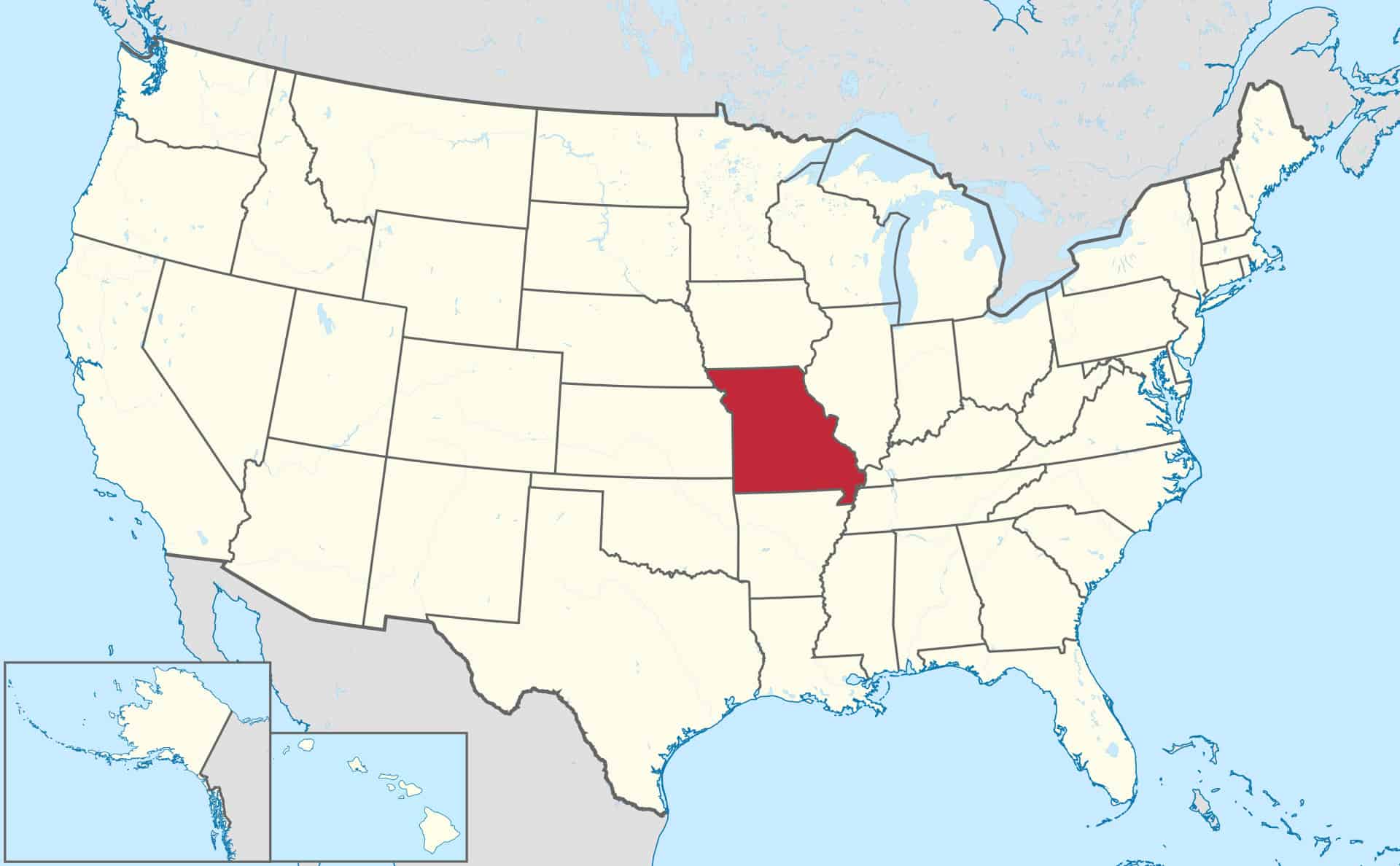
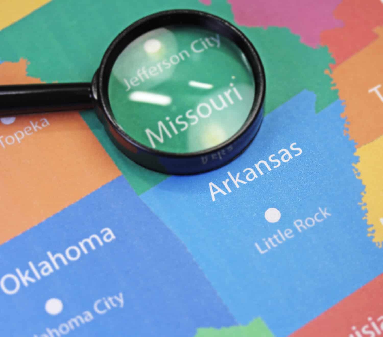
Missouri is the 21st-largest U.S. state by total area. The total area of a state means how big its surface is, including both the land and surface water. Although Missouri isn’t one of the biggest states, it does hold one record. Missouri ties with Tennessee for bordering the greatest number of states. Both Missouri and Tennessee share a border with eight other states. Missouri borders Iowa, Illinois, Kentucky, Tennessee, Arkansas, Oklahoma, Kansas, and Nebraska. That’s a lot of states!
Missouri is a beautiful place to explore the outdoors. With the state’s 92 state parks, there is no shortage of places to see. But how big is Missouri exactly?
This article uses the state’s abbreviation, MO. This article covers MO’s size in acres, square miles, and kilometers. It also explores how MO’s size compares to other states.
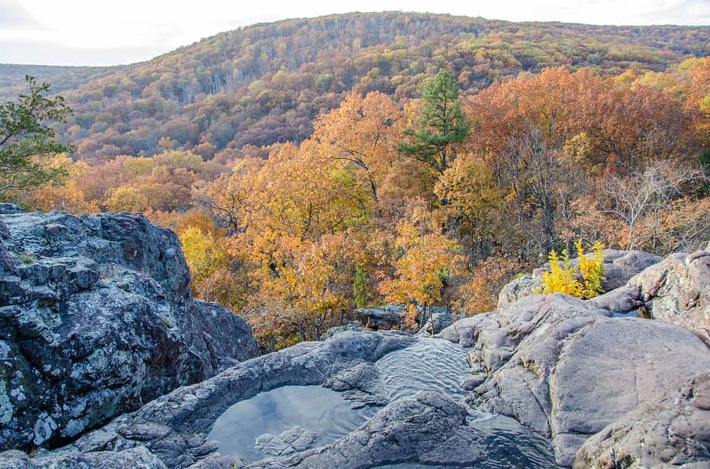
Missouri is in the Southern Midwestern United States.
©iStock.com/fotoguy22
Missouri’s Size in Acres
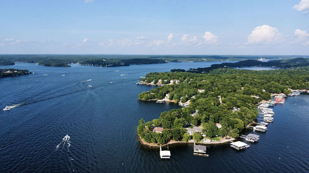
At 54,000 acres in surface area, Lake of the Ozarks is the second-largest lake in Missouri.
©iStock.com/Perry Spring
How big is MO in acres? MO is 44,617,600 acres. For reference, an acre is almost the size of a football field. The largest state park in MO, Lake of the Ozarks, is 17,626 acres. The Lake of the Ozarks, the lake from which the park gets its name, is the second-largest lake in MO. Truman Lake is the largest lake in MO. Truman Lake is 55,600 acres. The Lake of the Ozarks, by comparison, is 54,000 acres.
The federal government owns 3.79 percent of land in MO, a total of 1,675,400 acres. The U.S. government owns this land through the Forest Service, National Park Service, Fish and Wildlife Service, Bureau of Land Management, and Department of Defense. The largest forest in MO is the Mark Twain National Forest. The Mark Twain National Forest of southern MO is a whopping 3,068,800 acres!
Size in Square Miles
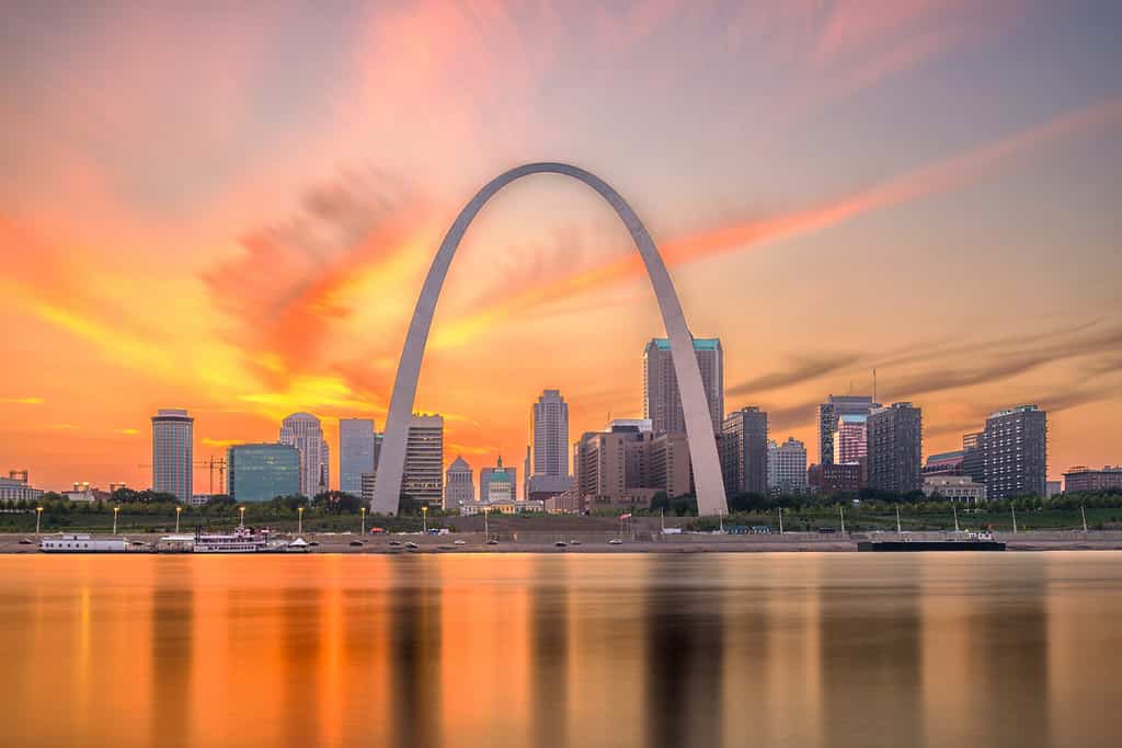
St. Louis is the second-largest city in Missouri, behind Kansas City.
©Sean Pavone/Shutterstock.com
How big is MO in square miles? MO is 69,715 square miles. For reference, a mile is 5,280 feet. The drive from Kansas City, on the western border of MO, to St. Louis, on the eastern border, is about 250 miles. The drive from Kansas City to the Mark Twain National Forest in southern MO is about 240 miles. Finally, the drive from St. Louis to the Mark Twain National Forest is only about 76 miles. It takes around one and a half hours to get from St. Louis to Mark Twain, making it an easy day trip.
Size in Square Kilometers
The Saint Francois Mountains contain Taum Sauk Mountain, the highest point in Missouri.
How big is MO in square kilometers? MO is 180,560 square kilometers. For reference, a kilometer is about 3,280 feet. Kilometers are used in most places in the world, with only the United States and the United Kingdom as exceptions.
How Big is Missouri Compared to Other States?
Missouri is almost the same size as Oklahoma, which it shares a border with.
©MorphoBio/Shutterstock.com
Missouri is the 21st-largest state in the U.S. It ranks just behind Oklahoma and is nearly the same size. While MO is 69,715 square miles, Oklahoma is 69,899. This means Oklahoma is only 184 square miles larger than MO.
How does MO compare to other Midwestern states? MO is the seventh-largest state in the Midwest. There are 12 states in the Midwest. MO ranks below Michigan, Minnesota, Kansas, Nebraska, South Dakota, and North Dakota. It ranks above Wisconsin, Illinois, Iowa, Ohio, and Indiana. MO is almost twice as large as Indiana, the smallest state in the Midwest. Indiana is 36,418 square miles. However, MO is about one and a half times smaller than Michigan, the largest state in the Midwest. Michigan is 99,716 square miles.
How does MO compare to the smallest and largest states in the U.S.? The smallest state in the U.S. is Rhode Island. Rhode Island has a total area of 1,545 square miles, while MO’s total area is 69,715 square miles. That means MO is 45 times larger than Rhode Island! In contrast, Alaska is the largest state in the U.S. by far. It is larger than California, Texas, and Montana combined. Alaska has a total area of 663,268 square miles. This means Alaska is almost ten times larger than MO!


How to Add Us to Google News


Thank you for reading! Have some feedback for us? Contact the AZ Animals editorial team.