
The Snake River is 1,078 miles long and is one of the most scenic rivers in the country. On its journey through Wyoming, Idaho, Oregon, and Washington, it discharges on average over 54,000 cubic feet of water per second. Much of this water is crucial to irrigation and farming purposes for residents along the river.
As one of the most extensive water sources in the United States, it is also the largest tributary of the Columbia River. If the Snake River covers four states and is the source of so much water, you have to wonder how wide the Snake River is at its widest point.
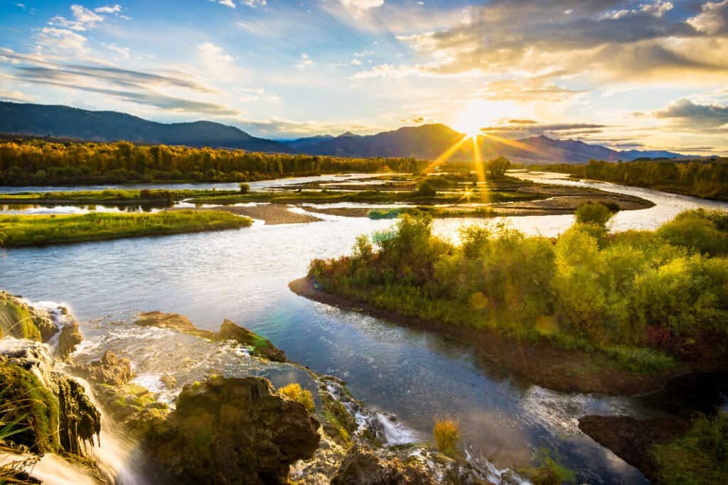
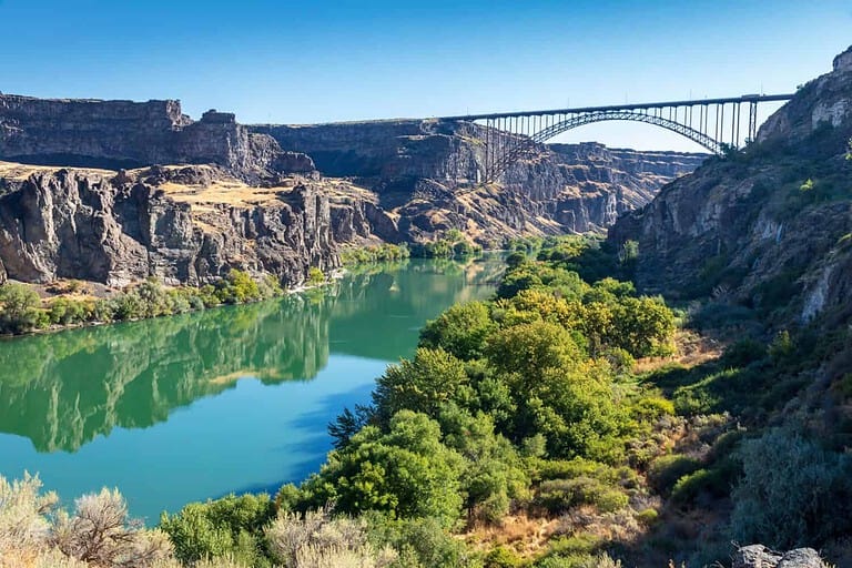
The Snake River is 250 feet wide at its widest point, is 1,078 miles long, and discharges over 54,000 cubic feet of water per second.
©Barry Bjork/Shutterstock.com
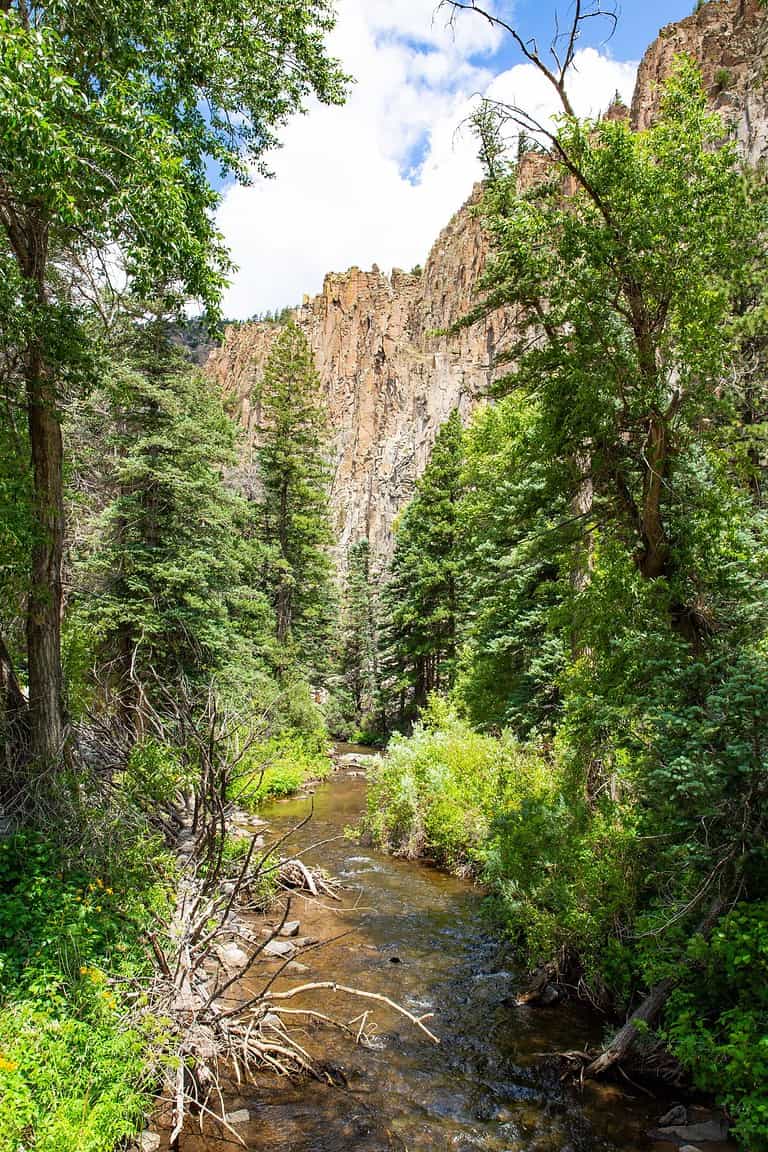
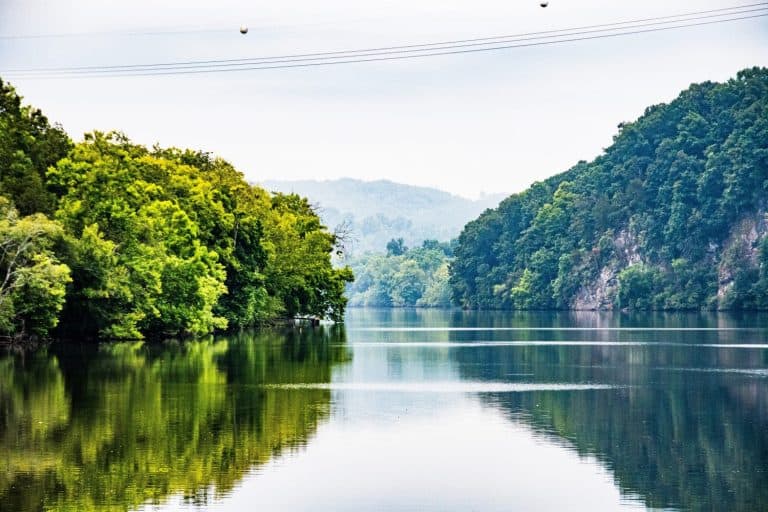
The Widest Point of the Snake River
The Snake River is 250 feet wide at its widest point. It is only 20 feet at its narrowest point. As it gets to the oxbow bend in Hells Canyon, this is the point where the river reaches its widest point. Here is also where the Oxbow Dam was built in 1961. The Snake River flows through the Snake River Plain, an area that is about 350 miles long and 30 to 75 miles wide extending across southern Idaho into eastern Oregon.
The Course of the Snake River
The headwaters of the Snake River are in Wyoming near the Continental Divide in Yellowstone National Park. From this origin, the river flows into Jackson Lake in Grand Teton National Park. Then, it travels past Jackson, Wyoming, before entering the Snake River Canyon.
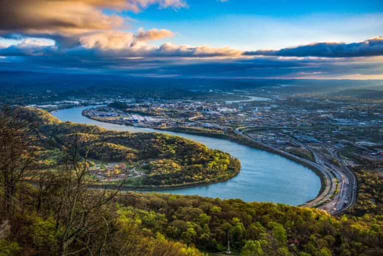
After the river exits the canyon, it enters the Palisades Reservoir in Idaho. Once there, it flows into the Swan Valley and an inland delta where it meets its confluence with Henry’s Fork. Next, it travels through the Snake River plain across Idaho, passing through Idaho Falls and altering drastically at American Falls. This point is where the Portneuf River joins the Snake River.
Further down, the Snake River receives water from the Raft River before its water enter Lake Walcott, where the Minidoka Dam captures its output. Finally, the Snake River exits the Minidoka Dam and enters the Milner Dam before passing the city of Twin Falls. After Twin Falls, it enters the Snake River Canyon and gushes over Shoshone Falls.
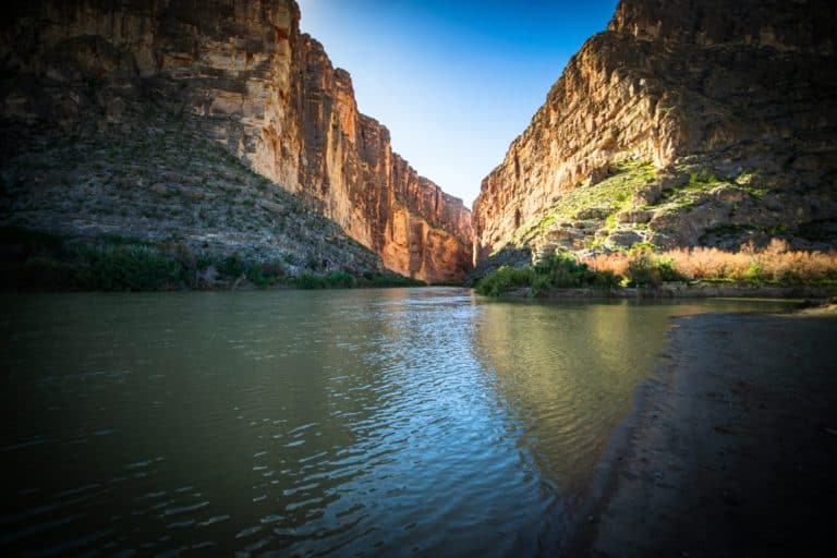
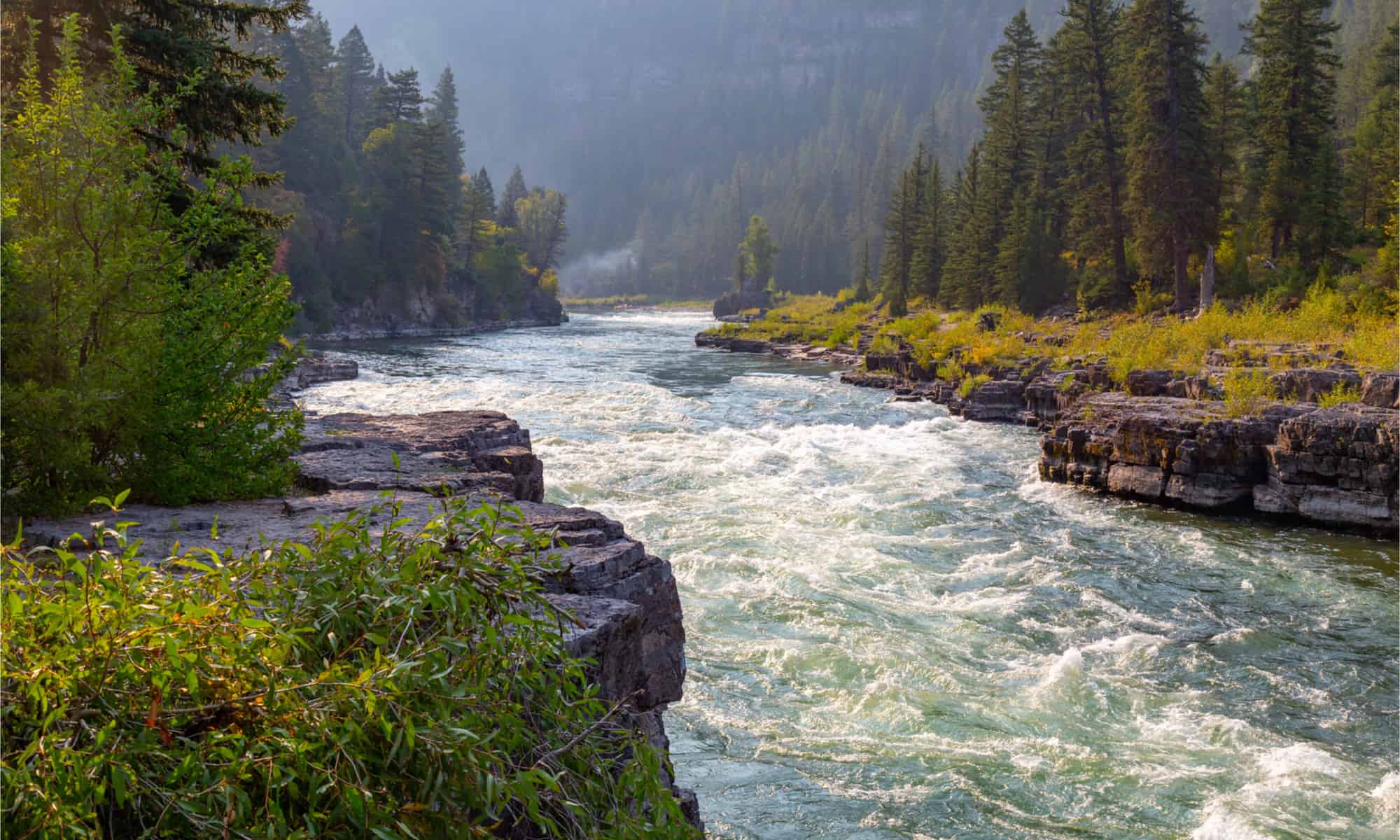
Once the river exits Snake River Canyon, the Bruneau River and the Malad River join it on its journey. As it continues past Boise and the Idaho-Oregon border, half a dozen rivers, in succession—the Boise, Owyhee, Malheur, Payette, Weiser, and Powder rivers—meet the Snake River. Subsequently, the Snake River rushes through Hells Canyon, where three dams impound its water. The Snake in Hells Canyon is described as the National Wild and Scenic Rivers System. Then, one of the largest tributaries to the Snake, the Salmon River, joins it in Hells Canyon, followed by the Grande Ronde River as the Snake River traverses across the Washington state line.
As it exits Hells Canyon and courses past cities Lewiston, Idaho, and Clarkston, Washington, the Snake River is joined by the Clearwater River before flowing through southeast Washington’s Palouse region, where it finally meets the Columbia River. However, before the confluence of these two great rivers, the Snake River passes through the Lower Granite, Little Goose, Lower Monumental, and Ice Harbor locks and dams.
The Origin of the Snake River’s Name
Although the Snake River’s shape between Yellowstone National Park and the Columbia River is similar to that of a snake, this isn’t the reason for the name. Instead, the river’s name originates from the Shoshone, an Indian tribe that lived along its shores in Idaho.
Because the Shoshone people arranged sticks in the image of a snake to mark their territory and greeted and identified themselves using an S-shaped sign to resemble a swimming salmon, the river took its name from these cultural behaviors.
European settlers saw this hand greeting and interpreted it as a snake, leading to its being named the Snake River. However, this river has also had other names, including the Great Snake River, Lewis Fork, Lewis River, Mad River, Saptin River, Shoshone River, and Yam-pah-pa.
Where Is the Snake River Located on a Map?
The Snake River is a prominent river in the wider Pacific Northwest area of the United States, spanning a length of 1,078 miles and serving as the primary tributary to the Columbia River, which is the largest river in North America that flows into the Pacific Ocean.
Here is the Snake River located on a map: