
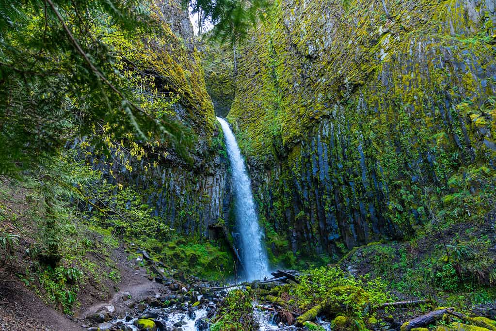
The Pacific Crest Trail (PCT) stretches 2,650 miles along the western coast from Mexico to Canada, spanning three states. One of these states is scenic and easy-going Oregon. Hikers test their abilities by traversing mountainsides, volcanic ruins, and national forests. But what is unique about the iconic trail running through the Beaver State? Below are 10 facts you didn’t know about the Pacific Crest Trail in Oregon.
1. The Pacific Crest Trail Through Oregon Is the Shortest Portion
Only 458 miles of the Pacific Crest Trail are in Oregon.
©Bureau of Land Management / Public Domain – Original / License
As mentioned, the PCT totals 2,650 miles. However, only 458 miles of the Pacific Crest Trail are in Oregon. The route from the Siskiyou Summit in southernmost Oregon to the Washington border is the shortest and the easiest section of the trail. Most of the landscape in Oregon is around massive volcanoes, through peaceful meadows, and along pristine lakes. But most of these features are together in clusters rather than scattered along the route. Furthermore, the journey through the state is at a consistent elevation, with some gradual rising and falling punctuating the scenic view. That means no altitude sickness on this part of the trek.
2. When the Oregon Pacific Crest Trail Portion Is Hikeable Depends on the Weather
Hikers must wait for the previous winter’s snow to melt before embarking on the Pacific Crest Trail.
©Michal Balada/Shutterstock.com
The Pacific Crest Trail in Oregon is typically open from July to October. This time of year has the most favorable weather, and the snow from the previous year has melted away. Lighter winters allow the trail to open as early as the following May, while heavier snowfall can delay the opening as late as August. Often, hikers won’t know when the trail will open until late spring. Of course, the occasional late spring snowstorm in the Oregon Cascades can push back hiking plans.
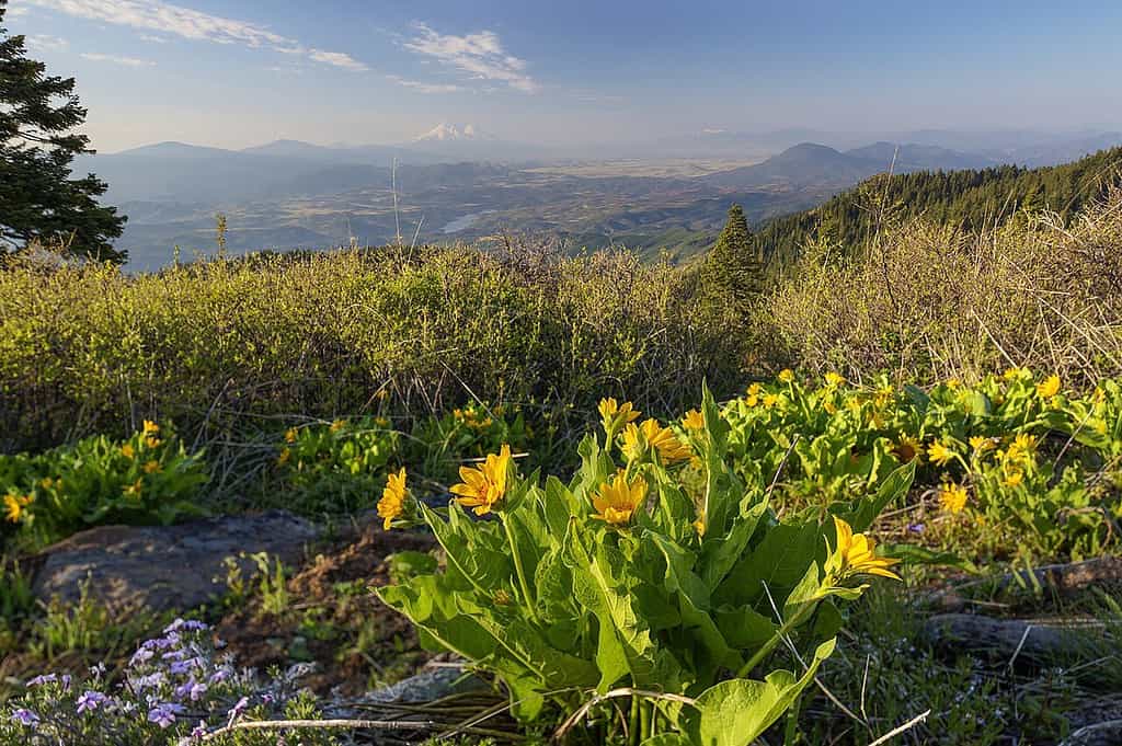
Embarking on the PCT in Oregon in early spring also means a lot of water and mosquitos. It’s peak wildflower season, and temperatures are milder than in the later months. The closer it gets to summer, the warmer it gets. There is also heavier thru traffic on the trail, and campgrounds are crowded. If you want a cooler and more peaceful experience, late summer and early fall are the best times to plan.
3. Part of the Pacific Crest Trail Detours Around Crater Lake
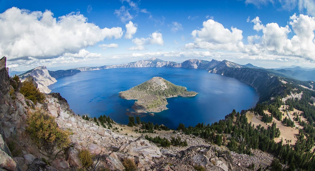
Crater Lake is the deepest lake in the United States.
©Nature’s Charm/Shutterstock.com
The Pacific Crest Trail in Oregon traverses Crater Lake National Park. One of the most anticipated views of the journey takes hikers along the rim of the magnificent Crater Lake. There are many smaller lakes and ponds throughout the Three Sisters Wilderness, Olallie Lake Scenic Area, and other reservations along the way. Northern Oregon has fewer lakes, but none compare to Crater Lake.
Crater Lake is the deepest lake in the United States and one of the deepest volcanic lakes in the world. Hikers can swim in its crystal-clear water or rest on its bank. The Pacific Crest Trail detours around Crater Lake, but there is also an alternate path that follows the rim of Crater Lake from Rim Village for roughly 11 miles for a stunning view.
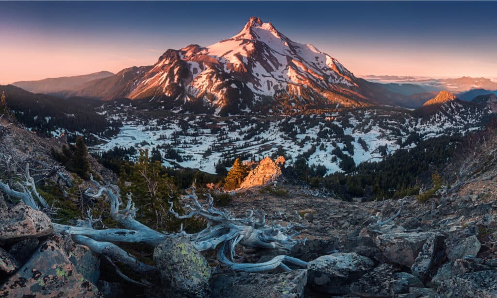
4. Hikers Can Explore the Mount Hood Forest Along Different Trails
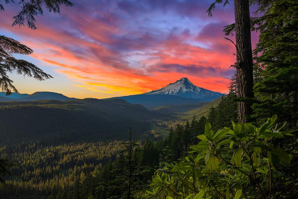
See the highest point in Oregon along the Mount Hood Forest section of the PCT.
©jose1983/iStock via Getty Images
One of the most majestic volcanoes along the Pacific Crest Trail in Oregon is Mount Hood. The memorable peak is located outside Portland, Oregon, and is the highest point in the state at 11,240 feet. The Mount Hood Forest section of the PCT is 130 miles long, beginning in Gifford-Pinchot National Forest and ending at Willamette National Forest. This section of the trail can be accessed through various trailheads in the Mount Hood Forest. However, the Timberline Trail is one of the most popular access points, taking hikers on a three to four-day loop through glacier-fed bodies of water.
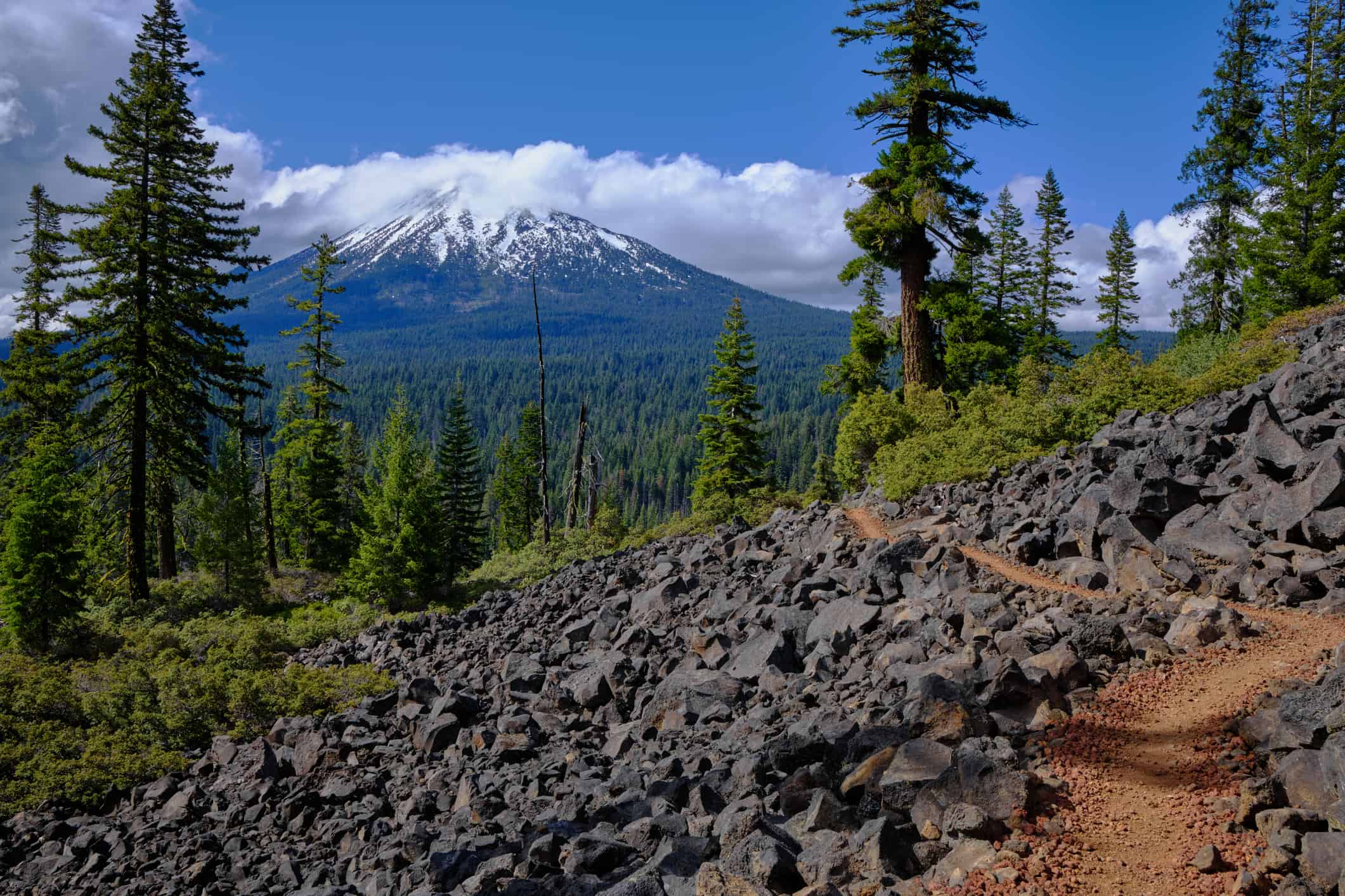
5. The Pacific Crest Trail Traverses 40 miles of the Three Sisters Wilderness
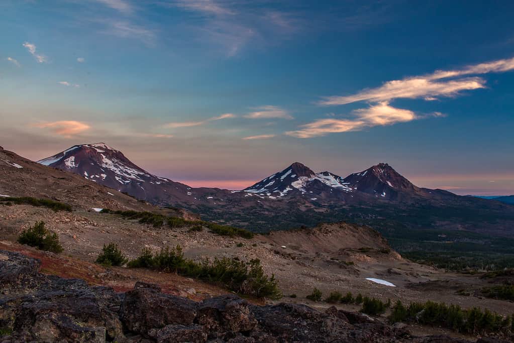
The Three Sisters Wilderness in the Deschutes National Forest covers 40 miles of the PCT.
©MichaelGraw/iStock via Getty Images
Altogether, the Three Sisters Wilderness occupies 286,708 total acres and 260 miles of trail in the Deschutes National Forest. However, the Pacific Crest Trail only traverses 40 miles of the dense forest. The area is named for the three peaks of the volcanic Cascade Range. Each peak towers more than 10,000 feet in the air. They are within Oregon’s top five highest peaks, falling just short of Mt. Hood and Mt. Jefferson.
The trek through the Three Sisters Wilderness is a geologist’s dream —miles of sharp and jagged lava rock and obsidian mark the path. The peaks were formed as part of the Pacific Ring of Fire, leaving evidence of volcanic activity. In addition to the beautiful mountain view are the obsidian cliffs, Obsidian Falls, and clear creeks along the path. Many hikers marvel at the view that opens to large meadows and Husband Peak.
6. Hikers Must Cross the Iconic Bridge of the Gods

The Bridge of the Gods connects Oregon to Washington along the Pacific Crest Trail.
©Jess Kraft/Shutterstock.com
Depending on where you start your hike along the Pacific Crest Trail, you will come across the Bridge of the Gods either at the start or end of your journey. However, all hikers must cross the iconic steel cantilever bridge to complete the route. The Bridge of the Gods is located near the Cascade Locks, connecting to Stevenson, Washington. The impressive structure was completed in 1926 and crosses the Columbia River, marking the border between the two states.
The Bridge of the Gods and the surrounding area is the perfect place for a picture. In fact, many northbound hikers commemorate the approaching end. Just be careful crossing the bridge because there are no sidewalks. Moreover, Stevenson is a great place to relax, resupply, and find accommodations for the night.
7. The Biggest Elevation Change Is a 3,160 Foot Drop Into the Columbia River Gorge
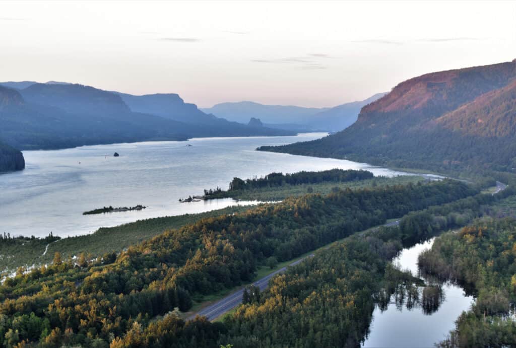
The only significant elevation drop in Oregon is over the Columbia River Scenic Gorge.
©iStock.com/Chaitra Kukanur
The high altitudes along the PCT can pose some difficulties for new hikers. The PCT crosses eight passes above 11,000 feet. However, the highest point in the entire route is Forester Pass in California, at 13,180 feet. Luckily, there is only one significant elevation change on the Pacific Crest Trail in Oregon. The 3,160-foot elevation drop starts at the Columbia River Scenic Gorge where hikers cross Interstate 84 on their way to the Bridge of the Gods. Whether you’re traveling north or south on the trail, this is either toward the end or the start of your journey.
8. You May Encounter Bears Along the Trail
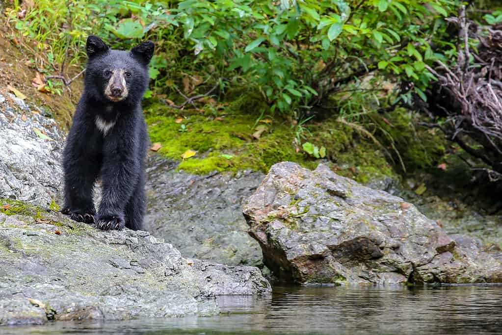
You may see black bears along the Cascade Mountains.
©christiannafzger/iStock via Getty Images
Black bears live throughout Oregon, with concentrations along the coast, Cascade Mountains, and the Blue Mountains. Since the Pacific Crest Trail in Oregon takes hikers along the Cascade Mountains, spotting a black bear is possible. Oregon has only one bear species, but their fur can also appear blonde, cinnamon, and brown. They are smaller than grizzly bears and more active during daylight hours in spring and summer.
But don’t worry; many hikers complete the PCT without seeing or hearing a single bear. Hikers must follow precautions to prevent enticing or interfering with bears on the trail. Along the trail, you’re more likely to encounter squirrels, mice, deer, foxes, beavers, elk, chipmunks, mice, and songbirds. Don’t forget to watch out for mosquitoes and bees.
9. Finding Water Along the Pacific Crest Trail in Oregon is Challenging
Hikers may go for long stretches without fresh water sources.
©Clare JoAnna Lewis/iStock via Getty Images
Finding fresh, drinkable water in the wilderness can be difficult. Running out of water isn’t ideal in some areas, especially in the south. However, there are opportunities to make detours to local springs and rest stops. There are stretches along the Pacific Crest Trail in Oregon where hikers can go nearly 20 miles without a water source. In fact, many natural water sources dry up by late July or early August.
Always carry water and plan to make stops to get more. There may be water caches along the way, but the Pacific Crest Trail doesn’t advise relying on them. While they can be helpful, they can also be unsafe for hikers and the surrounding wildlife.
10. There Are Trail Angels in Bend
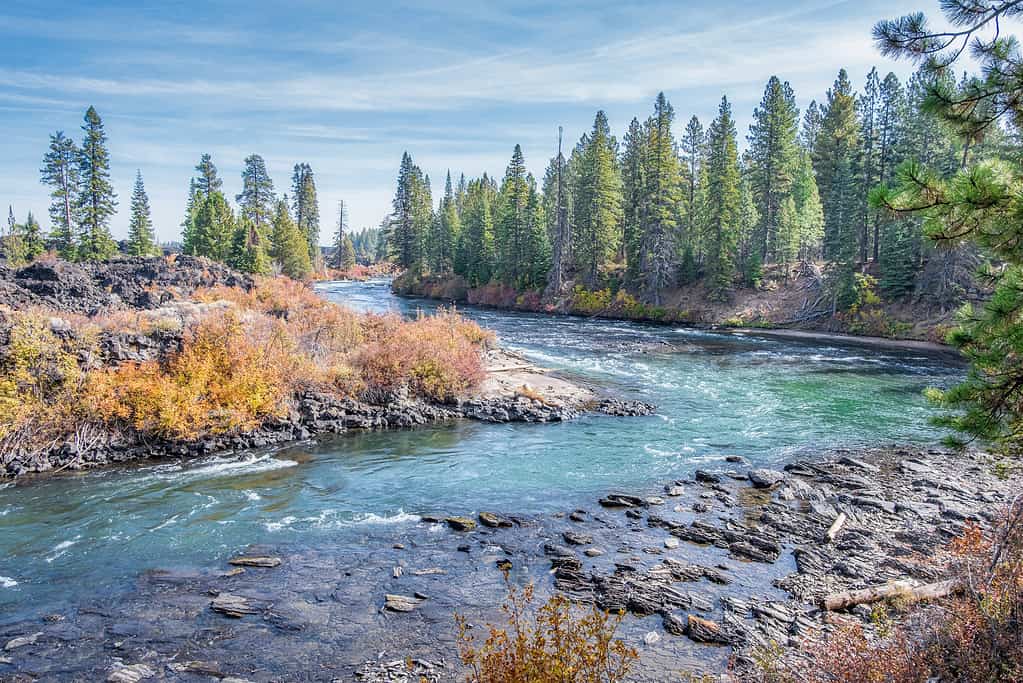
Bend, Oregon is a popular rest stop outside the Pacific Crest Trail.
©Don Miller/iStock via Getty Images
The trail town of Bend is a popular stop for those hiking the Pacific Crest Trail. The attractive Oregon town is outside the official PCT, but it’s worth the detour. Many disheveled and sweaty hikers welcome the excellent food and good beer the restaurants offer. But more than that, it’s known as one of the most hiker-friendly towns along the trail. Some local businesses offer discounts, gear repairs, and more to those who need a little help.
Bend is one of the many towns along the five-month excursion full of Trail Angels. What are Trail Angels, you may ask? These caring individuals add to the trail magic by providing food, water, rides, and lodging to help out hikers. Spending time with or becoming a Trail Angel is a fun way to connect with other nature lovers.


How to Add Us to Google News


Thank you for reading! Have some feedback for us? Contact the AZ Animals editorial team.