
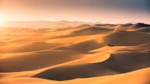
The Sahara Desert, or the Sahara, is one of Earth’s most iconic and extreme natural landscapes. Situated in North Africa, it is the third-largest desert in the world and the first-largest hot desert.
Famous for its immensity, extreme temperatures, stunning dunes, and sparse oasis, the Sahara stretches from West to East Africa. Keep reading to discover how hot the iconic desert can get!
How Hot Does It Get In the Sahara Desert?
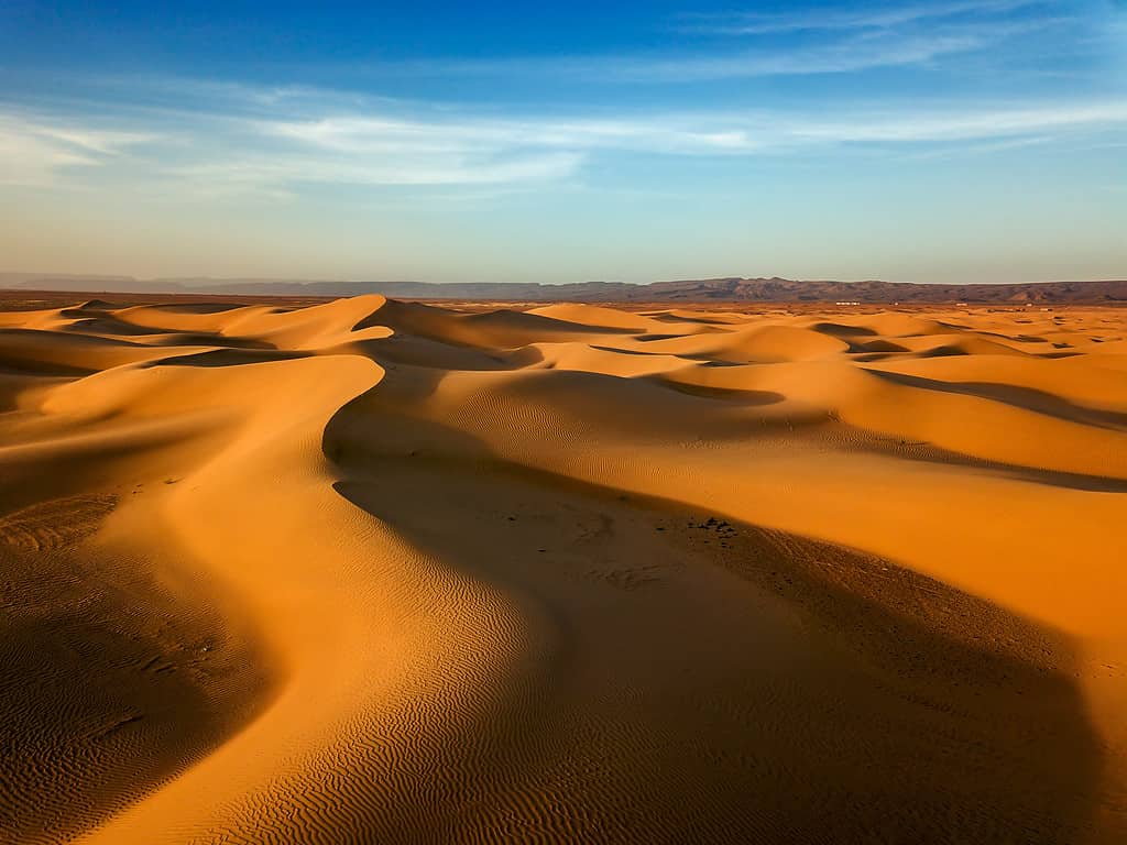
In 1922, Al Azizia, in the Sahara desert, Libya, recorded the highest temperature of 135.9 degrees Fahrenheit (57.7 degrees Celsius).
©Mik122/iStock via Getty Images
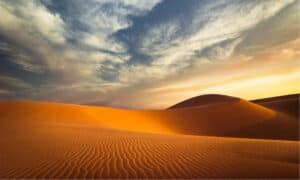
The Sahara Desert, the largest hot desert on Earth, is famous for its extreme temperatures. During summer, from May to September, the Sahara experiences exceptionally high temperatures.
The temperatures can vary depending on the areas in the desert. In the hottest parts, daytime temperatures can easily reach above 100°F (40 °C) and sometimes exceed 122°F (50°C).
These extreme temperatures result from several geographical and climatic factors. One of the first reasons for the extreme heat in the Sahara is its extensive expanse of sand and rocks. These absorb and retain heat during the day.
The albedo parameter measures how much sunlight is reflected by its surface. The albedo in the Sahara Desert is relatively low due to dark-colored sand and rocks. This means that most of the sunlight that touches the desert ground is absorbed, fully contributing to the extreme heat of the Sahara.
Additionally, the Sahara’s location is next to the Tropic of Cancer. It receives direct sunshine throughout the year, varying between 3,600 and over 4,000 hours of sunshine (82% to 92% of daylight hours). The sun’s rays strike the desert floor, concentrating the energy and heat.
Another factor increasing the heat is the region’s significant lack of cloud cover, as clouds provide relief when blocking solar radiation. Sahara’s arid air leads to warm winds, which increase the heat even more.
At night, temperatures in the Sahara drop significantly due to the lack of cloud cover and moisture in the air. This leads to a substantial temperature variation between day and night.
All these factors bring up extreme heat, which can be extremely dangerous if not acclimated to the environment.
The Great Green Wall
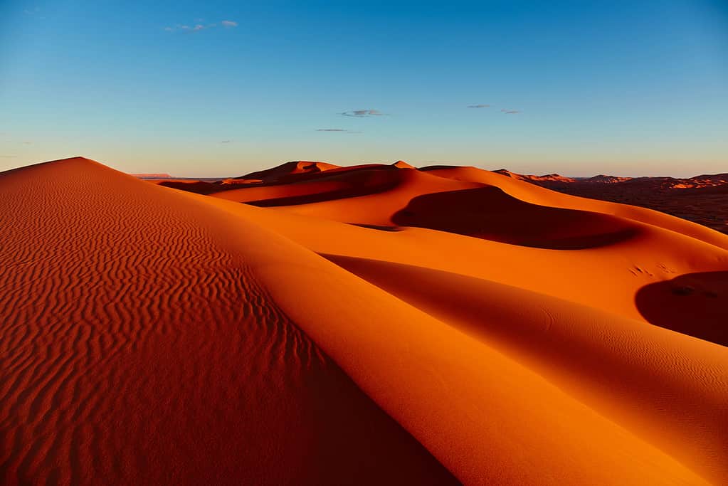
The temperatures in the Sahara’s surrounding regions are rising faster than anywhere else on the planet.
©Patrick Poendl/iStock via Getty Images
The Great Green Wall is a massive project throughout multiple countries built to fight the Sahara heat and the desert’s expansion. This project aims to transform millions of lives in the Sahel.
This project concentrates on sub-Saharan countries right in the Sahel region. Launched in 2007, the project aims to restore an extensive area from Senegal to the west to Djibouti in the east of Africa, over 4,970 miles (8,000 kilometers). It represents approximately 100 million hectares of degraded land that could, once restored, store 250 million tons of carbon.
To do so, the project started by the African Union plants thousands of trees, shrubs, and other vegetation. The plants and trees help stop the Sahara’s progression and reduce greenhouse gases when capturing atmospheric carbon dioxide.
Planting trees and other vegetation is also one of the best ways to combat soil erosion, providing shade, conserving soil moisture, and helping stabilize local microclimates. All of this helps preserve and restore agricultural lands that are very vulnerable in the Sahel region.
Restoring the agricultural lands encourages the development of sustainable land management practices. It can boost agricultural productivity and income for the people of the Sahel, offering local communities a chance to improve their livelihoods and food security. It can also provide economic opportunities for the world’s youngest population.
How Many Countries Are Involved?
This ambitious project has been going on for already 16 years with the hope of revitalizing thousands of communities across Africa. However, the project also comes with a cost. African countries work along international parts under the African Union Commission and the Pan-African Agency of the Great Green. Over USD 8 billion have been raised and dedicated to support this initiative.
Private donors, the African Development Bank, the United Nations, the World Bank, and various non-governmental organizations also contribute to the efforts for the Great Green Wall.
The project is focused on sub-Saharan countries, but here is a list of every country involved.
- Benin
- Burkina Faso
- Cameroon
- Central African Republic
- Chad
- Djibouti
- Eritrea
- Ethiopia
- Ghana
- Guinea
- Ivory Coast
- Kenya
- Mali
- Mauritania
- Niger
- Nigeria
- Senegal
- South Sudan
- Sudan
- Togo
- Uganda
In What Countries Is the Sahara Desert?
The Sahara makes up 30% of Africa’s total surface.
©ArturNyk/iStock via Getty Images
With its 3.6 million square miles (9.2 million square kilometers), the Sahara Desert extends from the Atlantic Ocean, west of Africa, to the Red Sea, east of Africa. It also goes from the Mediterranean Sea in the north to the Sahel region in the south.
With its large expanse, the Sahara Desert covers ten countries and one disputed territory. Discover the countries home to the largest hot desert on Earth.
Algeria
Algeria, the largest country in Africa, is also home to a large portion of the Sahara Desert. In Algeria, the desert features various landscapes, including the famous Tassili n’Ajjer plateau, known for its ancient rock art, and the towering dunes of the Grand Erg Oriental.
Chad
The Sahara Desert covers a small portion of northern Chad and features vast dunes and arid plains. The Borkou-Ennedi-Tibesti Region in Chad includes the Ennedi Plateau, known for its striking sandstone formations and rock arches.
Egypt
Egypt’s Western Desert is an extension of the Sahara Desert, including the Western Oases and the Great Sand Sea. Egypt’s portion of the Sahara is famous for its unique geological formations, including the White Desert with surreal chalk rock formations.
Libya
Libya is almost fully covered by the Libyan Desert or the Eastern Desert, part of the Sahara. It features extensive sand dunes, rocky plateaus, and desert oases.
Mali
In Mali, the Sahara Desert only covers the country’s northernmost regions. This includes parts of the Gourma region and the Timbuktu area.
Mauritania
Most of Mauritania is within the Sahara Desert, except for the country’s western part, east of the Atlantic Ocean. Mauritania’s portion of the Sahara includes the Adrar Plateau and the Erg Warane sand dunes.
Morocco
Morocco is the country the least covered by the Sahara Desert. The desert primarily extends along its southeastern border with Algeria.
Niger
The Sahara Desert extends into Niger’s northern regions. It includes areas like the Ténéré Desert, with typical sand dunes and desert plains characterizing Niger’s portion of the Sahara.
Sudan
The Sahara extends into Sudan, specifically in the northern regions. The Nubian Desert, a part of the Sahara, occupies an extensive portion of Sudan’s landscape. In the areas of the Sahara located in Libya, Egypt, and Sudan, the average rainfall is 0.5 millimeters (0.02 inches) a year.
Tunisia
The Sahara Desert covers up to 40% of Tunisia’s territory, specifically in its southern regions along the Algerian and Libyan borders. It includes the Grand Erg Oriental and various desert oases. The Sahara can physically border the Mediterranean Sea in Tunisia (also in Egypt and Libya).
Western Sahara
Western Sahara is the only territory entirely covered by the Sahara Desert. The desert extends over the entire country with sand dunes and rocky plateaus. Due to the presence of the desert, Western Sahara is the second most sparsely populated country in the world and the first in Africa. Its population is just over half of a million, with 40% living in Laayoune.
The area was under Spanish colonization until 1975. Spain’s withdrawal led to territorial claims by neighboring countries, including Morocco and Mauritania. Approximately 20% of the territory is controlled by the self-proclaimed Sahrawi Arab Democratic Republic (SADR). The remaining 80% of the territory is occupied and administered by the northern neighbor Morocco.
The United Nations named this disputed territory “Western Sahara” in 1975. The organization never recognized Morocco’s sovereignty and classified the disputed territory as a non-self-governing territory.
The photo featured at the top of this post is © Anton Petrus/Shutterstock.com
How to Add Us to Google News


Thank you for reading! Have some feedback for us? Contact the AZ Animals editorial team.