
Bakersfield, California. The birthplace of the “Bakersfield Sound”. The home of legendary musicians such as Merle Haggard and Buck Owens. An agricultural hub that houses two of the largest carrot producers in the nation. This California city has quite a reputation, especially revolving around country music, agriculture, and energy production. It is also known for its affordability in comparison with other California cities. Today, we’ll learn about where this city is and what it’s all about. We’ll start with finding it on a map. So, where is Bakersfield? Let’s take a look.
Where Is Bakersfield on a Map?
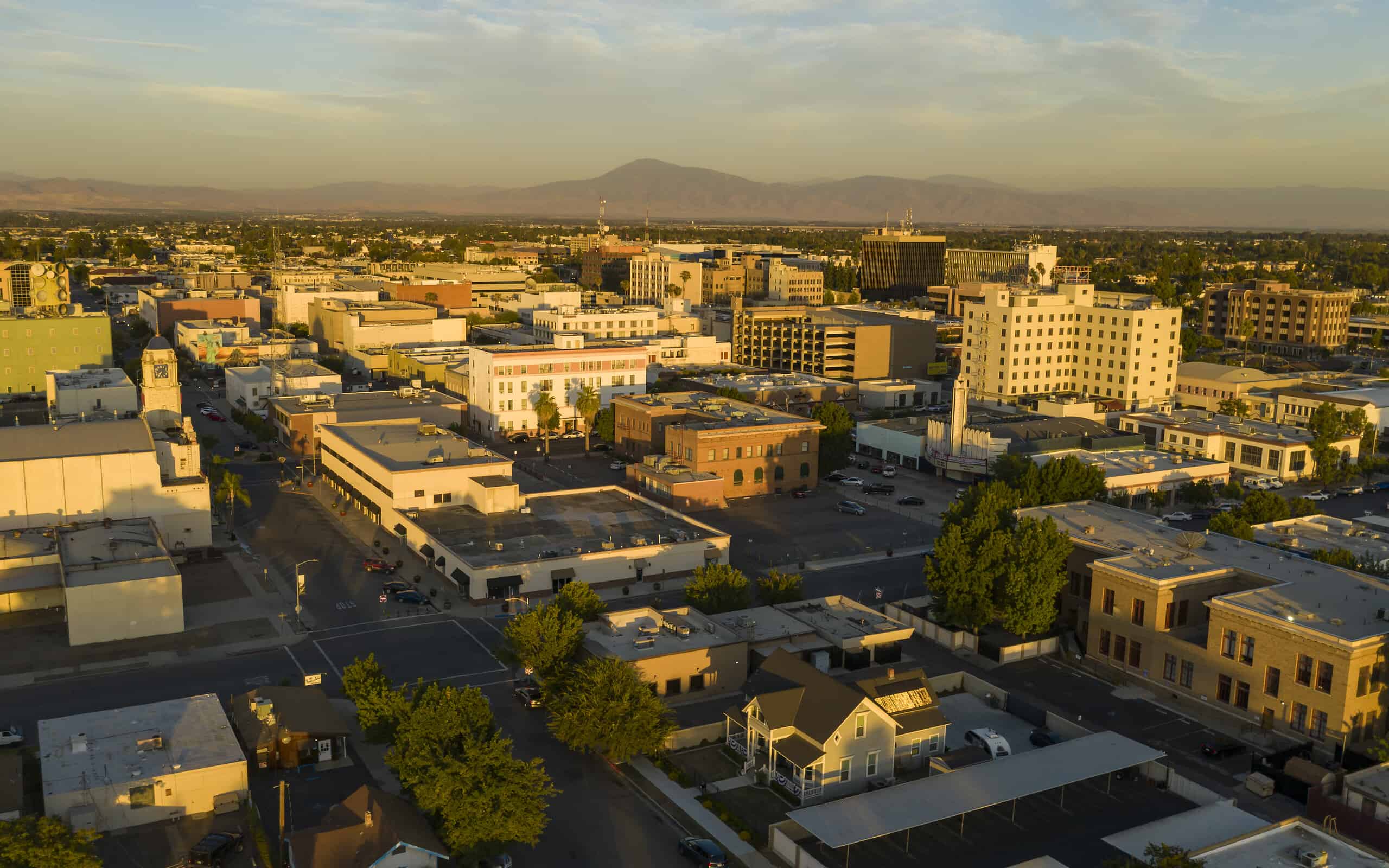
The city of Bakersfield is located in Kern County, California.
©iStock.com/MattGush
Bakersfield is a city in California. It rests along the mostly dry banks of the Kern River and acts as the seat of Kern County. Located north of Los Angeles and south of Fresno, this city lies in the southern portion of the San Joaquin Valley, where the Sierra Nevada Mountains meet the Coastal Range.
Let’s look at Bakersfield’s proximity to other California cities, along with some of the attractions this great state has to offer.
Distance From Other California Cities
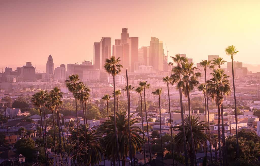
Los Angeles, pictured above, is about two hours south of Bakersfield.
©Chones/Shutterstock.com
Let’s look at five popular cities in California and their distance from Bakersfield. This helpful table shows the distance between Bakersfield and other cities. It also provides an estimate of how long it would take to traverse that distance. Keep in mind that our travel times are based on estimates from Google Maps at the time of writing this article. Your actual travel time may vary based on traffic, weather, construction, and road closures.
| City | Distance | Estimated Travel Time |
|---|---|---|
| Los Angeles | 113 miles | 1 hour and 55 minutes |
| San Diego | 238 miles | 4 hours and 15 minutes |
| Sacramento | 286 miles | 4 hours and 24 minutes |
| San Francisco | 283 miles | 4 hours and 26 minutes |
| Fresno | 109 miles | 1 hour and 44 minutes |
Distance to California Attractions
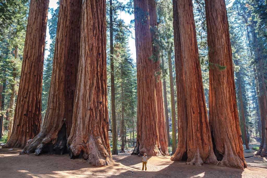
Sequoia National Park is less than 100 miles from Bakersfield, making it a great place for a day trip to get out of the city and into nature.
©Fernando Tatay/Shutterstock.com
Now, let’s look at a few attractions in California and their distances from Bakersfield. We have focused mostly on outdoor recreation and wildlife viewing opportunities for this table.
| Attraction | Distance | Estimated Travel Time |
|---|---|---|
| Sequoia National Park | 93.9 miles | 1 hour and 52 minutes |
| Los Padres National Forest | 187 miles | 4 hours and 57 minutes |
| San Bernardino National Forest | 133 miles | 2 hours and 18 minutes |
| Yosemite National Park | 170 miles | 2 hours and 57 minutes |
| Anza-Borrego Desert State Park | 278 miles | 4 hours and 34 minutes |
| Joshua Tree National Park | 217 miles | 3 hours and 32 minutes |
| Death Valley National Park | 174 miles | 3 hours and 1 minute |
| Tahoe National Forest | 415 miles | 7 hours and 7 minutes |
| Redwood National and State Parks | 586 miles | 9 hours and 32 minutes |
| Badwater Basin | 244 miles | 4 hours and 21 minutes |
History and Incorporation
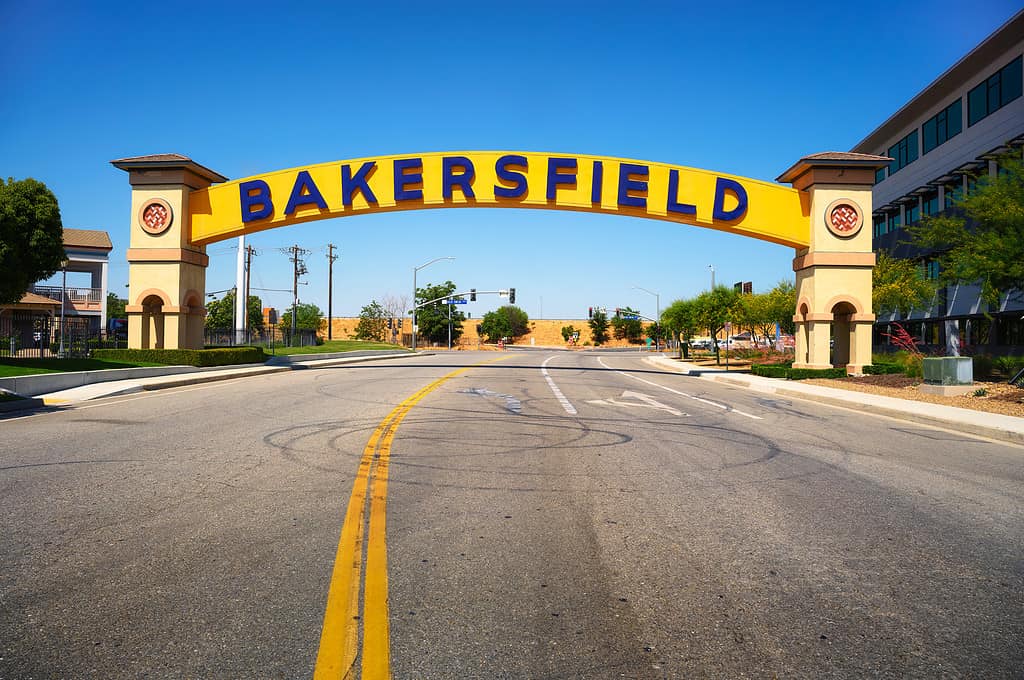
Bakersfield welcome sign, a wide arched street sign. Also known as the Bakersfield Neon Arch, it is one of the most recognizable landmarks in Bakersfield, California.
©miroslav_1/iStock via Getty Images
The area that is now the dry, arid city of Bakersfield used to be a swampy wetland. The Kern River regularly flooded the area. This didn’t stop Indigenous tribes, such as the Yowlumne tribe of Yokuts, from settling there. The Yokuts were the first Native Americans to settle the San Juaquin Valley. The Yowlumne tribe was one of many (at least 63) Native tribes that lived in the San Joaquin Valley, but it is the one most local to present-day Bakersfield. This peaceful tribe suffered at the hands of colonists. Spanish colonists were the first to reach the valley. They put the Yowlumne people to work and sent them far from home, to places like the Santa Cruz Mission. Later, the remaining tribal members would be subject to relocation to government reservations. This was by order of General Edward F. Beale, the Superintendent of Indian Affairs for California and Nevada.
Unfortunately, it was not just the colonists causing problems for the Natives – It was the diseases and war they brought with them. Thousands of Yokuts died of illness and in battle with the colonists. By 1960, only one Yowlumne man lived on. He lived longer than the marshlands his ancestors knew – settlers began draining the Kern River marsh in the 1850s.
Settling Bakersfield
Settlers were able to begin moving into the area in the 1860s. The first settlement, founded by a German named Christian Bohna, was swept away in 1861 by one of the many floods the area was famous for. In 1863, Thomas Baker arrived. Bakersfield is named after Thomas Baker, who claimed a large tract of swampland along the Kern River and drained it by building levees and canals. After a drought in 1864, the lands became livable and Baker offered it as a stopover for travelers and their horses. He later built streets and avenues as people began to settle in the area and soon there were over 600 residents in the area. Not long after, he gave all but 80 acres of his land away. The land he donated was the foundation for current-day Bakersfield.
Incorporation
Bakersfield was actually incorporated twice, first in 1873. This incorporation only lasted for three years. Residents and businessmen in the area had taken to disliking the Marshal of the city, Alexander Mills. They concocted a plan to disincorporate Bakersfield in order to leave Mills unemployed. In 1876, this plan was made effective, and the city was disincorporated and run by a citizen’s council.
The next two decades saw a great rise in population and, by 1890, over 2,500 people lived in Bakersfield. This, perhaps, is one of the factors that led Bakersfield to reincorporate on January 11, 1898. Today, the city of Bakersfield houses 407,615 people (2021 Census), and the landscape of the area has drastically changed since Thomas Baker first arrived.
More Photos of Bakersfield, California
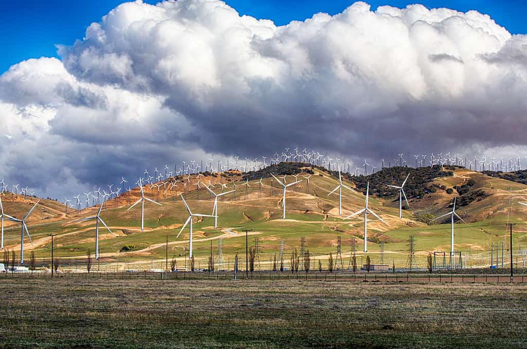
Wind Turbines line the hillsides outside Bakersfield, California.
©Gary Tognoni/iStock via Getty Images
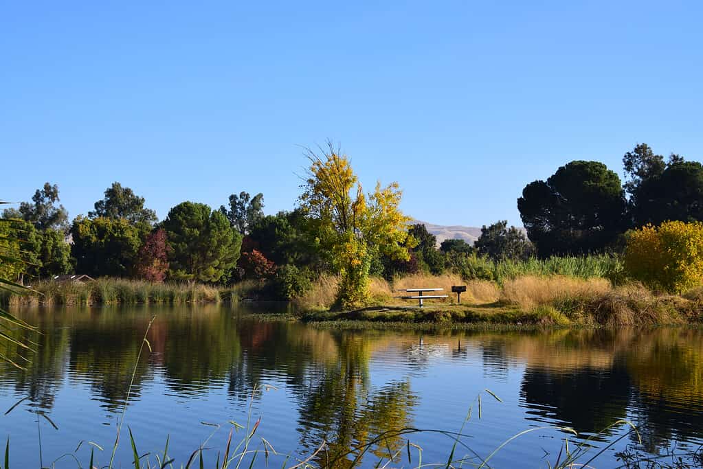
Hart Memorial Park is one of the larger parks in Bakersfield, CA.
©sonia-cervantes/iStock via Getty Images
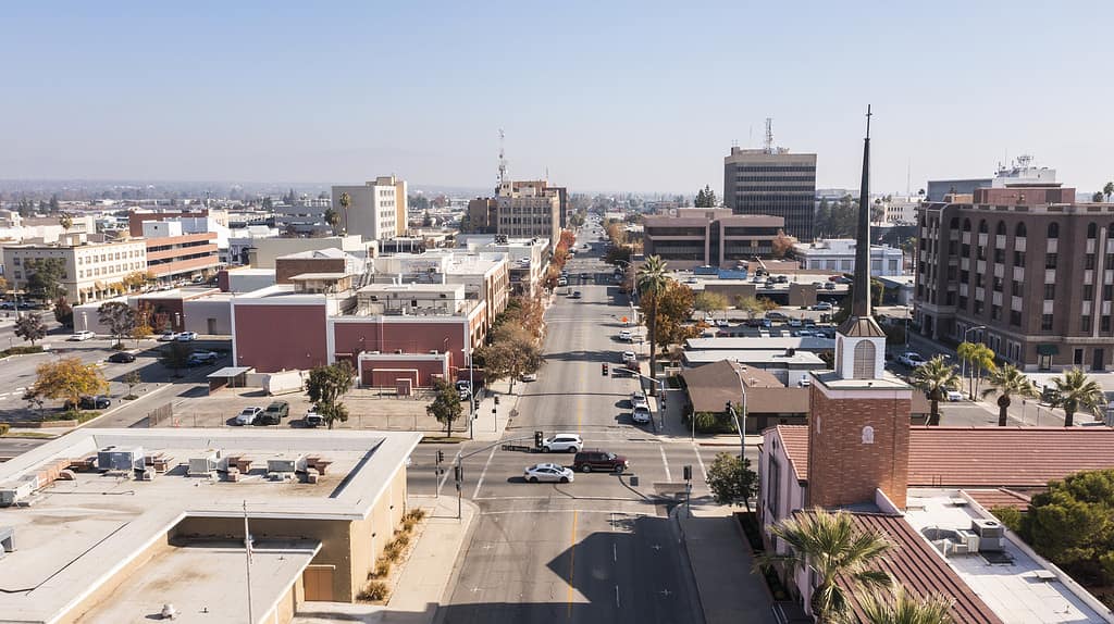
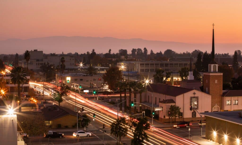
Afternoon aerial skyline view of downtown Bakersfield, California, USA.
©MattGush/iStock via Getty Images


How to Add Us to Google News


Thank you for reading! Have some feedback for us? Contact the AZ Animals editorial team.