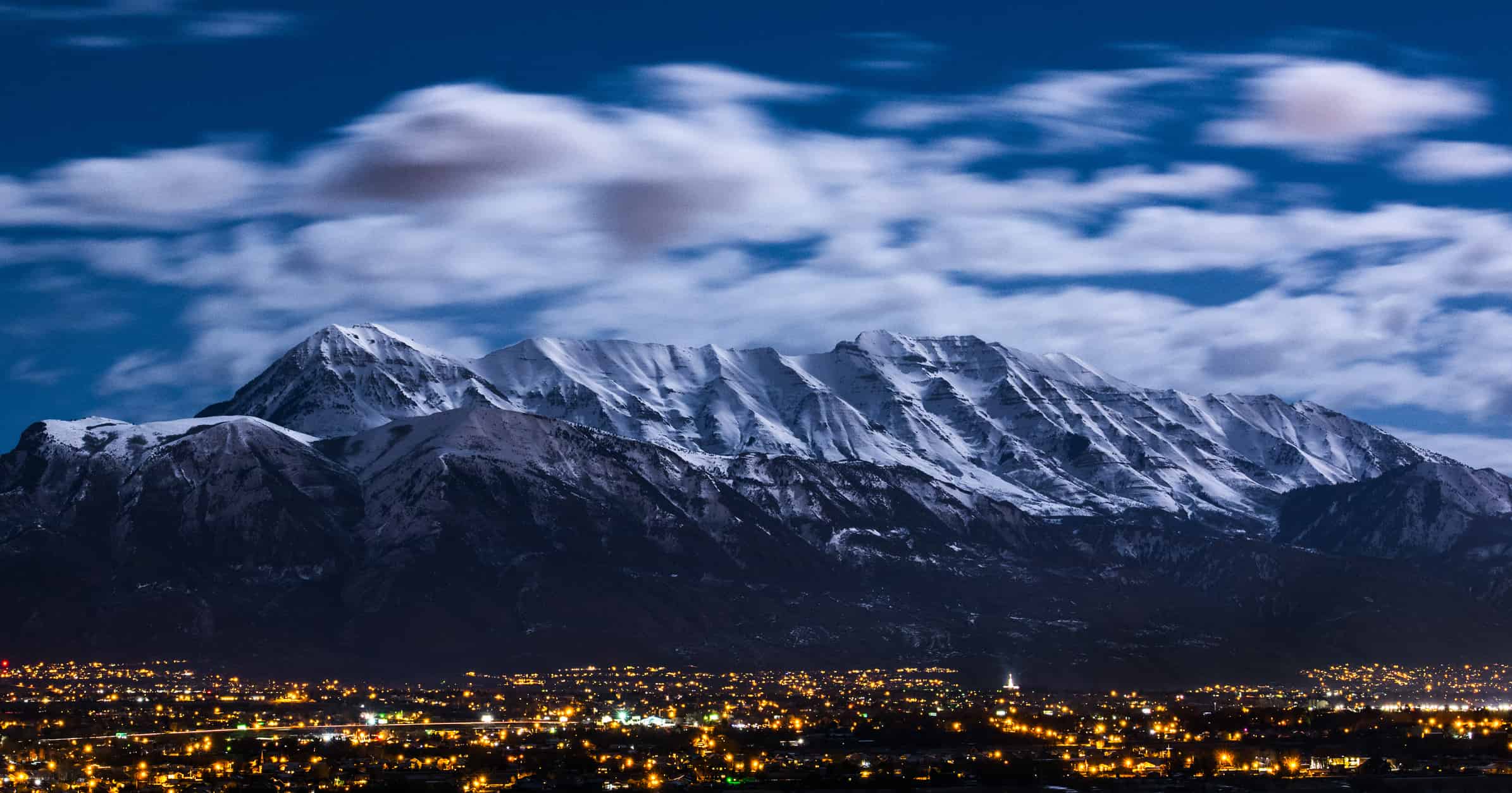

Today, we’ll be talking about location. In order to get a good idea about what in the world there is, we also have to know where in the world it is. There are 50 states in the United States of America, and it can be kind of hard to keep track of all of them. In this case, we’re going to locate and learn about the state of Utah. You might already know about this state because of the things it is famous for.
This state boasts many natural wonders, such as the Great Salt Lake, the Bonneville Salt Flats, and Arches National Park. You might also have a different perspective on Utah based on its strict drinking laws and its reputation for Mormonism. Regardless of how you know about it, we’re going to spend some time exploring where it is. So, where is Utah? Let’s take a closer look.
Where Is Utah on a Map?
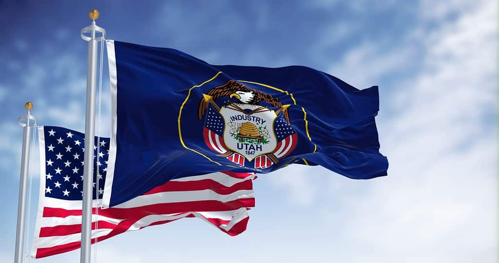
The Utah flag flies in front of the American flag, showing off its classic beehive imagery.
©rarrarorro/Shutterstock.com
Utah is a state in the Mountain West region of the United States. It is bordered by five states – Colorado, Wyoming, Idaho, Arizona, and Nevada. Let’s look at it on a map to get a better idea of where it rests in proximity to these – and other – states.
You can see from the outline on the map that Utah is a relatively boxy state. In terms of size, Utah is the 13th-largest state in the nation. It has an area of 84,899 square miles. From east to west, it measures roughly 270 miles, while its north-to-south distance is closer to 350 miles.
When Did Utah Join the United States?
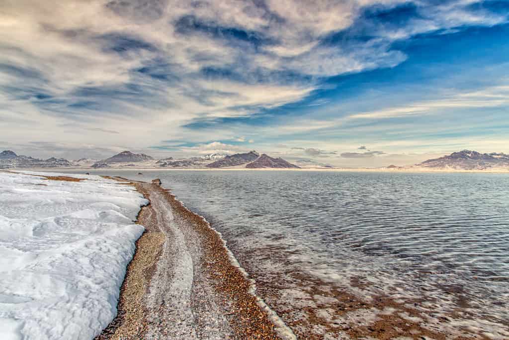
Flooding on the Bonneville Salt Flats – one of the most famous features in the state of Utah.
©Ken Wolter/Shutterstock.com
Utah became a state on January 4th, 1896. It was the 45th state to join the Union, following Wyoming by about six years. Before Utah could become a state, some of the locally practiced policies had to change. The territory that would become Utah had become a very Mormon territory following the eradication of most Indigenous people in the area. For several years, a polygamist with over 20 wives was the governor of the territory. This man, Brigham Young, was one of the most famous Mormon leaders in the world. He was removed from his leadership position in 1857 by James Buchanan, the 15th President of the United States.
After his removal, the President sent a number of United States Army troops to the territory in a bid to establish Federal authority. This was not immediately successful, and there was a large amount of tension in the territory for several years. Six years before Utah’s entrance into the United States, the president of the Mormon church – Wilford Woodruff – issued a manifesto that would change the face of Mormonism. It would also serve to change Utah. His manifesto, released in 1890, renounced a number of Mormon values and reduced the authority of the Mormon church in Utah communities. This eventually led to the territory being granted statehood.
Major Cities in Utah
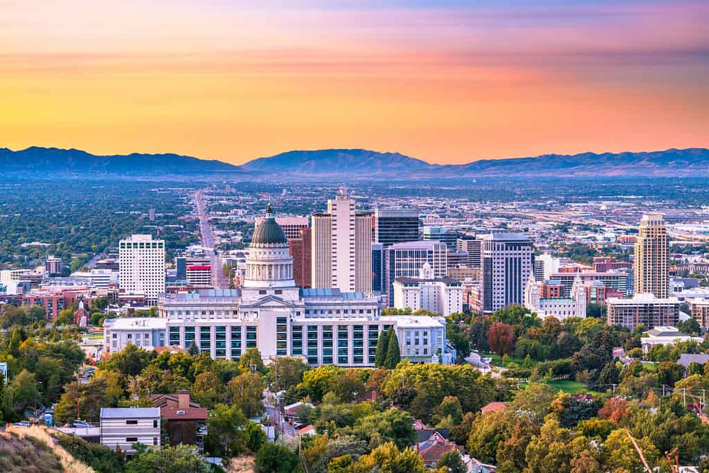
Salt Lake City is the cultural, political, and religious capital of Utah.
©Sean Pavone/Shutterstock.com
Let’s look at some of the biggest and most well-known cities in Utah. Using a table, we’ll share information about the cities, such as their populations and their area. We have highlighted the capital city of Utah in bold. We used population statistics from the 2021 Census.
| City | Size (Population) | Size (Area) |
|---|---|---|
| Salt Lake City | 200,478 | 110.81 square miles |
| Moab | 5,317 | 4.795 square miles |
| Provo | 114,084 | 44.19 square miles |
| St. George | 99,958 | 78.47 square miles |
| Ogden | 86,798 | 27.55 square miles |
It’s interesting to note that Utah is comprised of 29 counties, but that over 3/4 of the population resides in just four of them. These counties – Salt Lake, Utah, Davis, and Weber – all rest in an area known as the Wasatch Front. The overall population of Utah is 3.338 million people, and Salt Lake County houses nearly 1.2 million people alone. That’s about a third of the state’s entire population in one county! The least-populated county in Utah is Daggett County, which holds around 1,200 people.
Famous Attractions in Utah
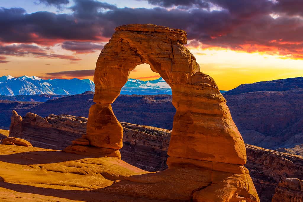
Arches National Park is one of the most famous outdoor attractions in the state of Utah.
©iStock.com/jose1983
Let’s look at a short list of famous attractions and places to visit in the vast expanses of this beautiful state. From its southern beauty to its northern reaches, Utah is rich with a variety of astounding landscapes and things to do.
- Arches National Park
- Zion National Park
- Glen Canyon National Recreation Area
- Capitol Reef National Park
- Canyonlands National Park
- Bryce Canyon National Park
- Dead Horse Point State Park
- Temple Square
- Mesa Arch
- Goblin Valley State Park
- Monument Valley Navajo Tribal Park
- The Narrows
- Angel’s Landing


How to Add Us to Google News


Thank you for reading! Have some feedback for us? Contact the AZ Animals editorial team.