
Flooding is the most common natural disaster in the US. As a result, there are an average of 114 flood-related deaths each year. In states with particularly high numbers, experts report that the high number of fatalities is due to people trying to drive through flood waters. So, which US states have the most floods?
Let’s learn more about the flooding and the dangers in each of these states.
Texas
Some sources list Texas as one of the most flood-prone states in the US. It is definitely the most deadly state for floods in the country. Between 2010 and 2022 over 200 people died in floods in the state. Probably around 70 of those deaths came from Houston’s flooding from Hurricane Harvey in 2017. Over a longer period of time, 1959-2014, the state had over 850 flood deaths.
Part of the reason for the high number of floods in the state might just be because it is so big. There is a lot of ground to cover, so floods occurring in all different parts of the state count towards its total. Parts of Texas are also called “flash flood alley.” This central part of the state includes several major metropolitan areas including the cities of Dallas, Austin, and San Antonio. The center of the state where the alley is located has a type of soil and terrain that makes flooding more likely. Strong storms come into the region from all directions: the Pacific Ocean, the Great Plains, and the Gulf of Mexico. When the rain falls faster than the rocky, clay-like soil can absorb, flooding occurs.
In the past 10 years, there have been over 500 flash floods in Texas. There have also been three 100-year floods. That means floods that have a 1% chance of happening in any given year.
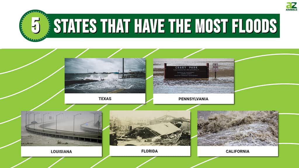
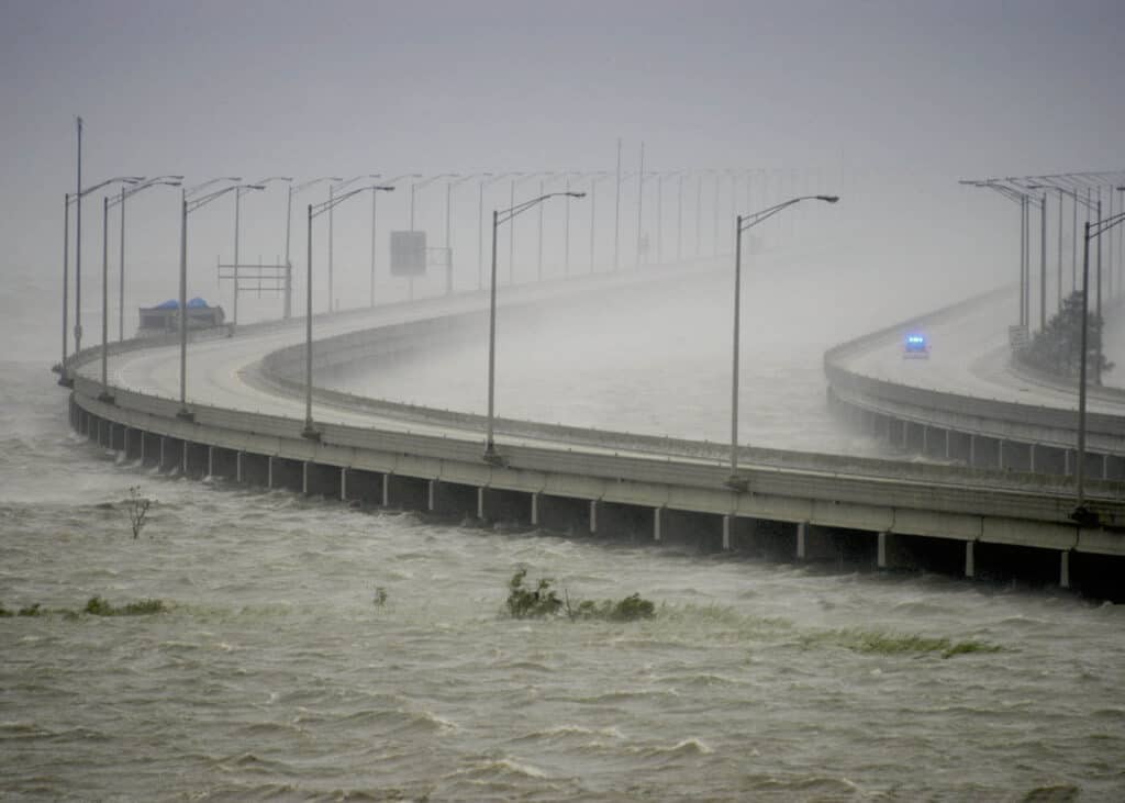
Water crashing over a bridge in Texas during Hurricane Harvey shows the wisdom behind the advice to drivers, “Turn around, don’t drown.”
©iStock.com/Eric Overton
Pennsylvania
Pennsylvania also has had a lot of flooding in its history. While some sources list Texas as the most flood-prone state in the US, others say that the state with that title is Pennsylvania. Between 1959 and 2014 there have been more than 250 deaths from flooding in the state.
Part of the reason for this flooding is simply that there is a lot of water in the state. Three major rivers flow through the state: the Delaware River, the Susquehanna River, and the Ohio River. To make matters worse, there is not a consistent levee system. So, a levee in one city may actually make flooding worse in other areas along a river. During Tropical Storm Lee in 2011, the Susquehanna River rose by over 40 feet.
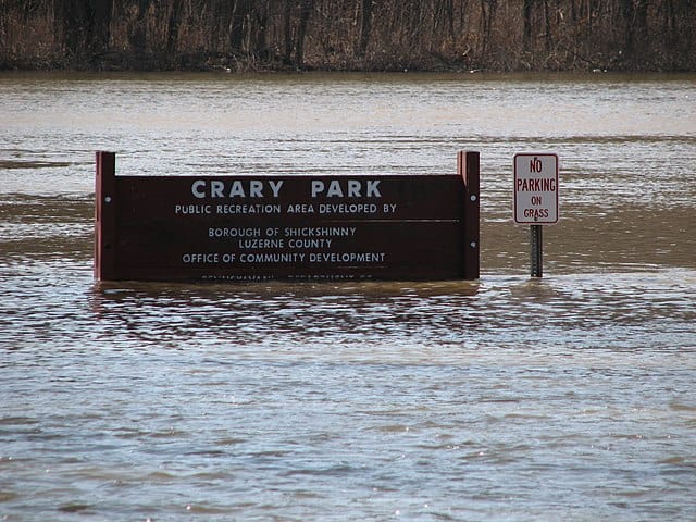
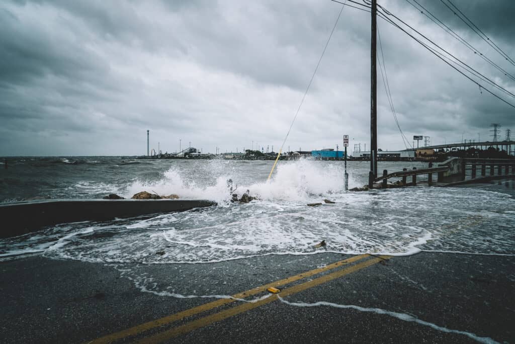
Remnants of Tropical Storm Lee caused major flooding along the Susquehanna River.
©Killervogel5, CC BY-SA 3.0 <https://creativecommons.org/licenses/by-sa/3.0>, via Wikimedia Commons – Original / License
Louisiana
Louisiana became notorious for floods after Hurricane Katrina caused a lot of damage to the city in 2005. However, it has always been at high risk. Much of the New Orleans metropolitan area is at or below sea level. Even rainwater from an average storm does not drain naturally. The area is protected by a system of levees and pumps. The area is also prone to strong hurricanes, which cause huge storm surges that lead to flooding. Experts believe that over the next few decades, as sea levels rise due to climate change and storms in the area get even stronger, the city of New Orleans and the surrounding areas will experience even more floods.
Hurricane Katrina flooded over 80% of New Orleans and destroyed 100,000 homes and businesses.
©Tad Denson/Shutterstock.com
Florida
Florida is another extremely flood-prone state. It is a large peninsula surrounded by 1,350 miles of coastline. It also has more than 1,500 other bodies of water within the state. There are more than 11,000 miles of rivers, streams, and tributaries within the state. In addition to its watery habitat, the state gets around 55 inches of rain per year, landing it in the top 5 rainiest states, along with its flood-prone neighbor Louisiana. The state is also incredibly flat, allowing flood waters to spread easily.
The sheer amount of storms the state experiences also adds to the flood risk. Since 1851, there have been less than 20 hurricane seasons that did not have a storm that hit Florida. During those 170 years, there have been over 500 hurricanes or tropical storms to hit the state. Hurricanes affect the whole area of the state and have hit different Florida cities throughout history. However, some hurricanes damage the whole state. After hurricane Irma, nearly three out of four people in the entire state did not have power. Coastal areas in Florida are especially at risk of flooding from these hurricanes.
The 1928 Okeechobee Hurricane claimed over 2,500 lives, mainly in Florida.
©Everett Collection/Shutterstock.com
California
California seems like an unlikely candidate for a flood-prone state because the state often has issues with drought and low water supply. However, the reason it is at risk of floods is related to the lack of water. First, due to its dry nature, the state has strong and severe wildfires. Flash floods are a greater risk in areas that have recently experienced fires because the ground there can not absorb water. Even urban areas in the state are at risk of floods because drainage systems can become easily blocked, and large swaths of pavement can not absorb the water.
Much of the state is a desert, which is an ecological landscape that is prone to floods in general. It doesn’t rain much, but when it does, it can cause rivers and streams to run fast and wild. They can rise to dangerous levels in less than an hour. For example, flash floods caused a lot of damage in August of 2022 in Death Valley National Park, the hottest place in the world, located in the southeastern corner of the state. The amount of rain that fell in 3 hours was equal to about 75% of the rain the area receives in an entire year. It was a 1,000-year rain event. That means it has a 0.1% chance of occurring in any given year.
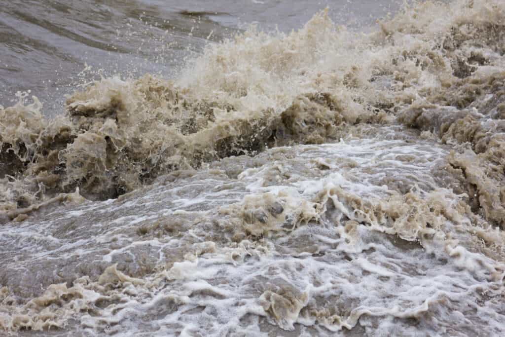
Flash flooding occurs when the ground can’t absorb water, usually from heavy rainfall.
©swa182/Shutterstock.com
Flood Safety Tips
Even though these are the states with the most floods, flooding can occur anywhere there is water, and can even sometimes occur in areas people might consider too far from a body of water for flood risk. Here’s how to be aware of flooding and stay safe:
- Pay attention to all alerts from the National Weather Service and know the terms:
- Flash flood watch or flood watch: Flooding is possible in the area mentioned.
- Flash flood warning or flood warning: Flooding has been observed or will definitely happen very soon.
- Urban and Small Stream Advisory: Low-lying urban areas such as storm drains and small streams may flood.
- Flash flood statement or flood statement: A follow-up alert about a flood.
- “Turn around, don’t drown”: This catchy phrase is easy to remember. If you see flood waters on the road do not try to drive through them. It is hard to determine how deep the water is. The majority of flood deaths happen when people try to drive through the water. These deaths are completely preventable. Just turn around! In some cases, only six inches of water can cause you to lose control of your car.
- If you need to evacuate, turn off your power at the source and shut off your gas. Only return to your home once the proper authorities have said it is safe.
- Never drink flood water or use it for cooking. It is full of waste, bacteria, chemicals, and other things you do not want to ingest.
- Throw out all food that came into contact with flood waters.
- Find out if your drinking water is safe. If there is a “boil water advisory” only drink bottled, boiled, or otherwise treated water.
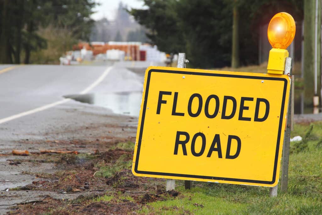
If you see a sign indicating that a road is flooded, “Turn around, don’t drown,” and find an alternate route.
©Eric Buermeyer/Shutterstock.com
Summary of Which US States Have the Most Floods and Why
| Rank | State | What makes the area flood? |
|---|---|---|
| 1 | Texas | strong storms, large area, and clay-like soil |
| 2 | Pennsylvania | a lot of water |
| 3 | Louisiana | hurricanes, below sea level in areas, and poor drainage |
| 4 | Florida | flat peninsula with many bodies of water and hurricanes |
| 5 | California | drought and low water supply |