
Arizona is known for the Grand Canyon, which earns it the nickname “the Grand Canyon State.” However, the canyon is only one of the most awe-inspiring landmarks Arizona offers. Here, there are many magical sights and everchanging ecosystems, from deserts to rushing waterfalls. Read on to discover Cibecue Falls – one of Arizona’s most breathtaking landmarks and a hidden oasis in the desert.
Interesting Facts
- State bird: Cactus wren
- State flower: Saguaro cactus blossom
- State tree: Palo Verde
- Home of Apache warrior Geronimo
History
Arizona is home to 22 federally recognized Native American tribes, including the Navajo, Zuni, Hopi, and Apache Nations. Mexico’s territory once included Arizona, plus the states of California, Nevada, and Utah; however, the United States took ownership of them after the Mexican-American War in 1848. The U.S. designated Arizona as a territory in 1863, and Arizona gained statehood in 1912.
Wildlife
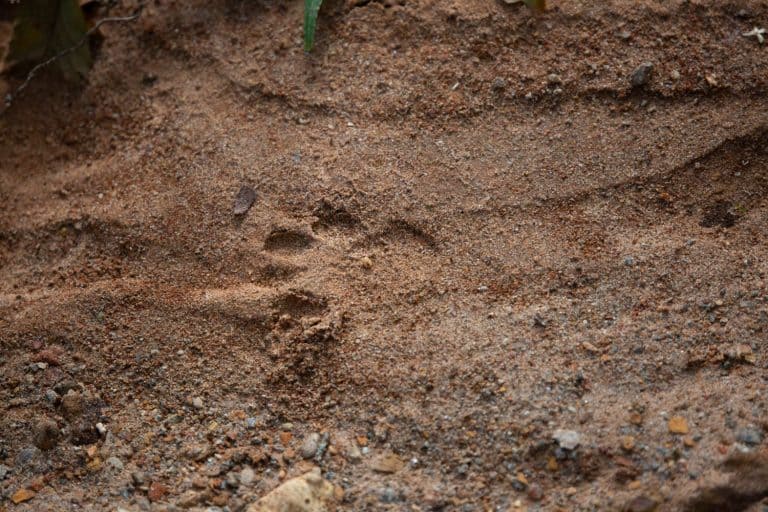
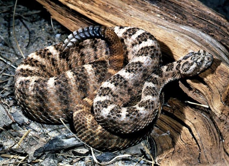
Arizona wildlife includes mountain lions, bighorn sheep, and black bears. Some of the more unusual animals include jaguarundi, javelina, and coatimundi. Raptors seen overhead include falcons and endangered California condors with a wingspan of over nine feet and weighing over 20 pounds! This desert region is home to reptiles such as rattlesnakes, desert tortoises, ornate box turtles, and Gila monsters. The endangered Sonoran tiger salamander lives near ponds and lakes.
Visiting Cibecue Falls
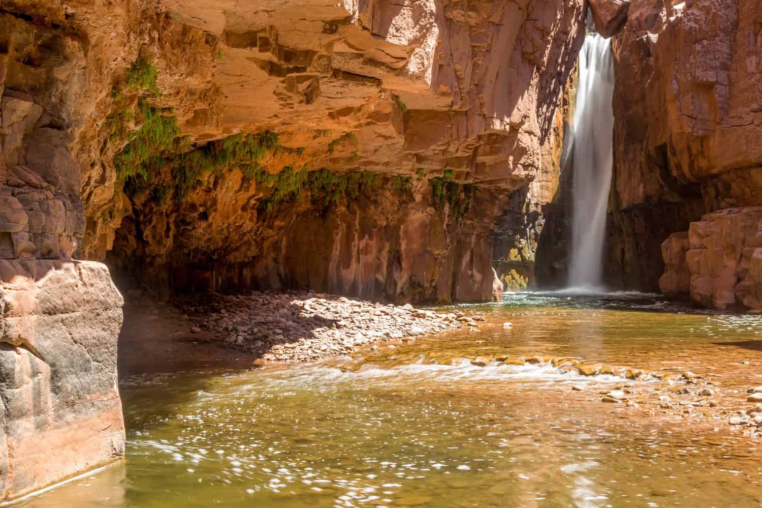
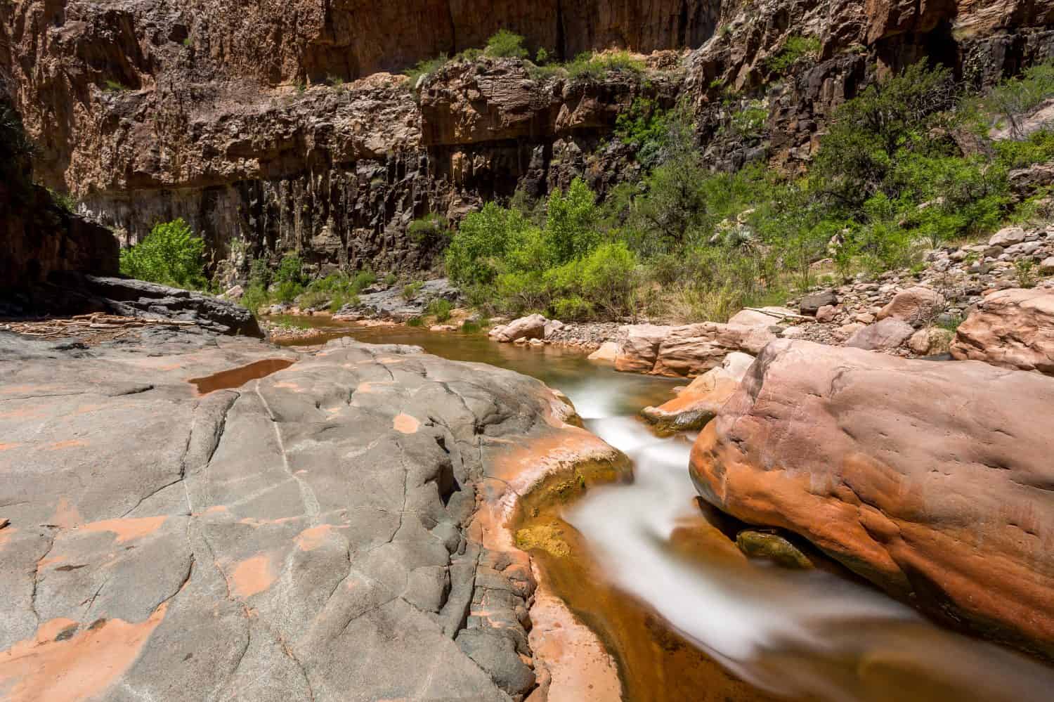
Cibecue Falls was formed in a Salt River canyon.
©Jonathan Manjeot/Shutterstock.com
For those who love waterfalls and adventure, this is the place! Cibecue Falls was formed in a Salt River canyon; its source is the converging waters of the Cibeque Creek and the Salt River. As a result, this hike is considered a non-technical canyoneering adventure. This “out and back” remote hike is about two and a half hours northeast of Phoenix, located on the White Mountain Apache Reservation. It takes some planning before making the journey. Purchase a permit and prepare for the elements. This water hike requires the right gear for a safe journey. Indeed, the water’s depth varies depending on the time of year. Please check flash flood warnings before venturing out. This short hike is rugged and slippery in places. Even more, there is no cell service.
- Distance: 4 miles out and back
- Hike time: 2-3 hours
- Elevation: 220-foot gain
- Difficulty: Moderate
Permits and Rules While Visiting
You may purchase a day permit before you visit the falls. Information is available on the White Mountain Apache Tribe website. Included in the permit is a one-night camping and fishing allowance in one of four Salt River Campgrounds. The Fort Apache Indian Reservation does not allow swimming, cliff jumping, fishing, or drones while visiting the falls. In addition, leave no trace and pack out litter, there are no trash containers nor are there any bathrooms.
What to Bring
The trail is overgrown with bushes that may scratch exposed areas. Suggested items to bring include:
- Hiking poles
- Wicking sun protective clothing/hat and perhaps a swimsuit
- Dry shoes and clothes post-hike
- Hiking/water shoes with good traction
- Wipes
- Consider dog booties
- Hiking essentials include:
- Signal/communication methods such as a whistle or mirror
- 2-3 liters of water and water treatment
- Food
- Space blanket and extra layering pieces
- Lighter/waterproof matches
- Multifunction tool
- Headlamp with spare batteries
- Compass/topographic map
- First aid kit
- Sunscreen
- Bug spray
How to Get There
Take Highway 60/AZ-77 past the city of Globe. From the Cibeque Road turn off the road becomes four miles of rough dirt road to the trailhead. A high-clearance vehicle is best for the trip, although a car will make it most of the way. The road is on the side of a cliff and is one lane in spots, and it will take about 20-30 minutes to reach the trailhead. At the end of the road is a river crossing requiring a 4WD vehicle. Otherwise, park before the crossing.
Cibeque Falls Trail
The hike is in the water much of the time, paralleling the creek for most of its length.
©Jonathan Manjeot/Shutterstock.com
The three-mile roundtrip trail is not well defined as it follows Cibeque Creek. The beginning of the hike is sandy before crossing the river. A footpath meanders along the Cibeque Creek to a stream crossing, one of many. The hike is in the water much of the time, paralleling the creek for most of its length. Remember to treat the stream water before drinking. Enjoy the scenery along the path; it is ever-changing, and there are panoramic views in every direction from the canyon’s summit.
Dogs are allowed, but it is not dog-friendly for every breed because of the many water crossings. There are about 10 of them along the way, ranging from ankle-deep to mid-thigh. As such, some dogs may need to be carried. As the canyon narrows, hikers can hear the sound of the roaring falls. It is shady in the canyon, but there are also areas with sun exposure; therefore, wear sunscreen.
What to Do There
At last, at the end of the trail, the falls plunge 30 feet into a beautiful pool surrounded by red rock cliffs. The water is a gorgeous shade of emerald, which can turn chocolate brown in spring or when the water flow increases. Ferns hang from the canyon walls, and the sound of the roar of the powerful falls invokes a relaxing feeling at the end of the journey. Enjoy a picnic and the changing character of the surrounding rock as the sun moves throughout the day. Even though swimming is not allowed, a dip in the water is a refreshing reward as you discover Cibecue Falls – one of Arizona’s most breathtaking landmarks!
The Best Time to Visit
The falls are accessible throughout the year, but early May or June are best before it gets hot. The trail closes during monsoon season when there are flash floods. Therefore, avoid the area when the waters are running high. Many of the trails close from Labor Day through April; check with White Mountain Fish and Game for information. Temperatures here soar to 120 degrees Fahrenheit in the summer. As a result, early morning or late afternoon hikes are best. In addition, always check the weather forecast before venturing out, and do not attempt in the rain.
History of the White Mountain Apache Tribe
The tribe lives in the east-central region of the state, 194 miles northeast of Phoenix, on the Fort Apache Indian Reservation, 1.6 million acres of ancestral homeland established in 1891. White Mountain Apache are direct descendants of the original tribes in the area who were once nomadic. Today, they raise livestock, as well as operate tourism and tribal enterprises for their livelihood. Their operations include:
- The Sunrise Ski Resort
- Crocker Record Elk and World-Class Bone Hunts
- Hon-Dah Casino
The White Mountain Apache are but one of several Western Apache tribes related to the Yavapai Apache nation with ties to the Grand Canyon. Their nomadic ancestors farmed the largest range of any Western Apache tribe traveling throughout east-central Arizona. Today, they live on a reservation with a rich array of wildlife, which makes them a popular destination for canyoneering, hiking, and other recreation. In addition to their outdoor recreation offerings, they also feature the Apache Cultural Center & Museum to educate visitors about their ancestral heritage, art, and more.