
If you are searching for the world’s wettest country, you’ve come to the right place! Even though most rainy countries are located around the Equator, most of them are not considered the wettest regions on Earth. The average yearly precipitation is used by meteorologists to classify a location’s wetness. Fog, rain, snow, drizzle, and anything else wet are all included. The terrain’s topography, the presence of lakes, oceans, and seas nearby, and latitude, temperature, and wind patterns all influence rainfall patterns and determine the wettest area on the planet. With all of this in mind, what is the wettest place on Earth, and how much rain falls there?
Precipitation is the sole natural activity that causes freshwater to accumulate on our planet. It is what gives life to our world and sustains all living things. In reality, the entire ecosystem is dependent on the amount of rain it receives each year, and any interruption in this cycle can lead to large-scale droughts and famine, which could also lead to starvation. When we examine rainfall patterns in different places of the world, we can observe a great deal of disparity. Some areas have extraordinarily high rainfall rates, while others have very little or none. For residents of Colombia, rain is part of their everyday lives. This article will explore the wettest country on Earth, how it gets too much rain, and other fascinating facts.
What is the Wettest Country on Earth?
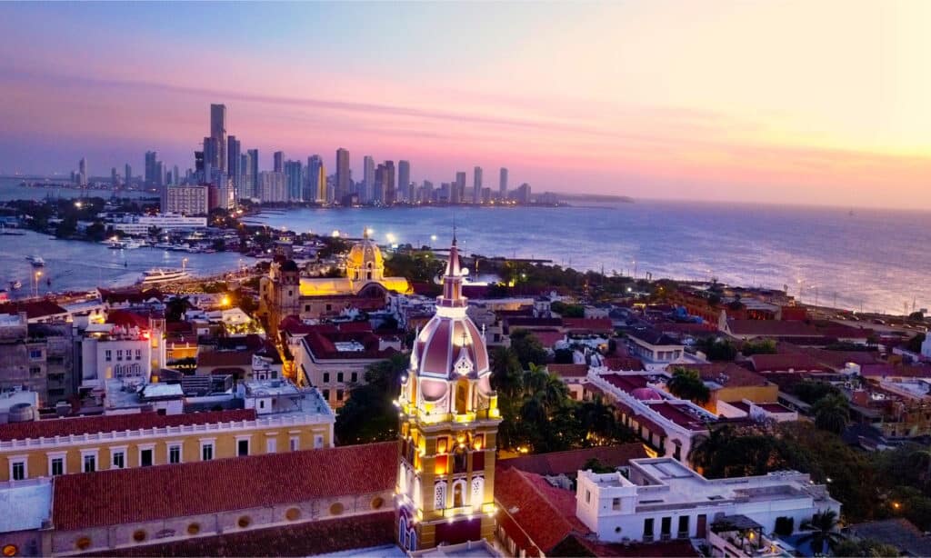
The wettest country on Earth is Colombia.
©DroneDreams/Shutterstock.com
Colombia has the world’s highest precipitation rate, estimated at 3,240 millimeters per year (127 inches). Due to frequent and intense rainfall, several portions of the state are permanently flooded. It is the heaviest in regions facing the Pacific, where it rains almost every day. As we approach the eastern sections of the country, the rate of precipitation decreases.
Rainfall is a year-round occurrence, except for July and August, when there is less rain and visitors are allowed to visit Colombia. Due to heavy rains, the infrastructure and life forms are severely disrupted, which is still the case.
It rains every day throughout the rainy season, but not all day, so don’t worry!
The Amazon and Caribbean have a humid tropical climate, the Guajira has a desert environment, and the Andean region experiences cold temperatures at times.
Why Does Colombia Have Too Much Rain?
Because Colombia is close to the Equator and has a tropical climate, it’s likely to rain frequently.
©Javier Crespo/Shutterstock.com
Colombia is close to the Equator and it has a tropical climate, which is likely to rain frequently. And while rain is beneficial to the environment, too much of it can be harmful. This has had very disastrous consequences in some locations. Mudslides and flash floods have killed people, displaced families, and damaged property.
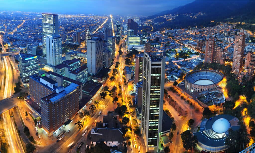
Due to Colombia’s proximity to the Equator, there are no four distinct seasons as there are in other parts of the world. Seasons are defined more by changes in rainfall than by changes in temperature. There are two distinct seasons in a year: the rainy and the dry seasons. The wet season is from April to May and October to November, while the dry season is from December to January and July to August, though this varies. El Niño and La Niña climate occurrences have a significant impact on Colombia. Warmer, drier weather is brought by El Niño, whereas colder, wetter weather is brought by La Niña.
The climate is tropical in various sections of the country. Indeed, 86 percent of the country is classified as “hot.” However, the country’s weather is not uniformly warm. Cities like Medellin and Bogotá have both temperate and frigid climates. Temperature and rainfall fluctuations are caused mainly by differences in elevation. The Andes Mountains dominate much of Colombia’s western region, with every 1,000 feet of elevation resulting in a 3.5°F temperature drop. In other words, sweltering temperatures at sea level cool down as you climb higher.
What Beauty Does the World’s Wettest Country Hold?
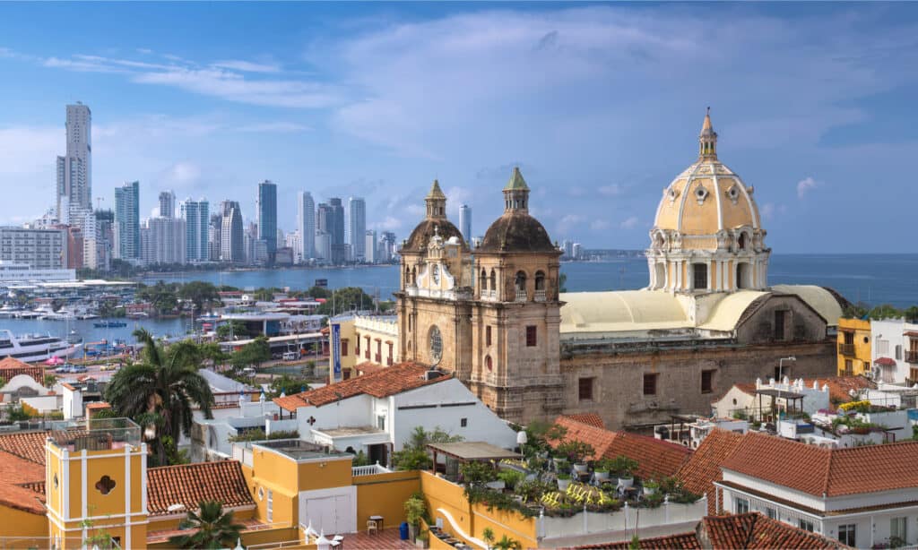
Despite its heavy downpours, Colombia is rich in biodiversity.
©sunsinger/Shutterstock.com
Colombia is rich in biodiversity despite its heavy downpours, with over 40,000 plant species and more than 1,550 bird species. The country has coasts on the Atlantic and Pacific Oceans, and covers roughly 440,000 square miles (1.14 million square kilometers), and lowland coastal habitats make way for the rainforest, the Andes, and the Inland Llanos (plains).
Compared to the Pacific, the Atlantic and Caribbean coastal lowlands receive less rainfall. Plantations of bananas, sugarcane, and animal ranches thrive on the fertile land, as do many industries. The beautiful rainforests and marshes of the Pacific lowlands are well-known, and, due to the high rainfall and low soil quality, few people live in this area.
Cali, the third-largest city in the Cauca Valley, is further south and contains some of the wealthiest agriculture. This region is home to some of the world’s most valuable mineral reserves, including gold and emeralds.
What Other Countries Have the Highest Rainfall?
Colombia has the world’s highest rainfall, closely followed by Sao Tome & Principe and Papua New Guinea.
Sao Tome and Principe is an African country in the Gulf of Guinea home to a diverse range of birds and natural plants. The country’s rainy season is separated into two distinct stages. The shorter one begins in October and lasts until November, while the longer one lasts from March to May. Both seasons have extremely high rainfall rates, and the average precipitation in both seasons adds up to about 3,200 mm every year. The regions surrounding and near the Equator receive the most rain in the country.
Papua New Guinea sits in the Pacific Ocean, neighboring Australia with almost 600 islands and borders with several countries in Asia. It is ranked third among the top ten countries with the most rainfall globally. It also has a tropical climate, with the monsoon season beginning in December and ending in March, resulting in average annual rainfall of 123.7 inches (3,142 millimeters). The western and northern regions of the country get most of the precipitation. If rainwater is not adequately utilized or channelized, floods and destruction ensue.
Where is Columbia Located on a Map?
Columbia is part of northern South America. The country has coasts on the Atlantic and Pacific Oceans and covers roughly 440,000 square miles. It is bordered by Ecuador, Peru, Panama, Venezuela, and Brazil. It was a colony of Spain and is named after Christopher Colombus, the supposed discoverer of the New World.
The photo featured at the top of this post is © sunsinger/Shutterstock.com


How to Add Us to Google News


Thank you for reading! Have some feedback for us? Contact the AZ Animals editorial team.