
In the northern part of the United States, Michigan rests in the Great Lakes region. Two distinct regions – the Upper Peninsula and “the mitten” (also known as the Lower Peninsula) – make up the state. In Michigan’s mainland, the mitten part of the state, locals point to their palms to indicate where in the state they’re from. For example, a person from Detroit would indicate their location by holding up their hand and pointing to the flesh just below their thumb. A person from Lansing would aim right below the center of their palm. In this way, Michiganders can share where they live comprehensively, even with people who are unfamiliar with the state.
The Upper Peninsula is a completely different beast. “Youpers”, the name for people who live in the Upper Peninsula, hold themselves separately from other Michigan residents. Perhaps this is due to the physical connection between the two land masses – only a bridge connects Michigan proper to the Upper Peninsula. Because of this separation, we’ll talk about the widest points of both the mitten and the UP in the following sections.
Widest Part of Michigan
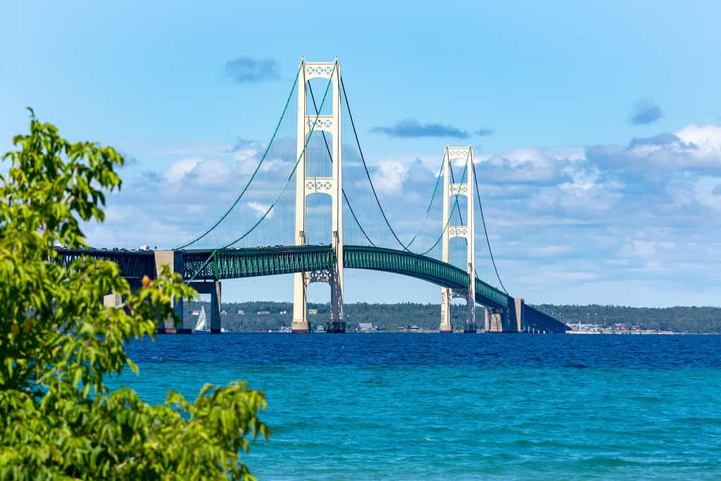
The Mackinac Bridge (pronounced ma-kuh-naa) connects the Upper Peninsula to the Lower Peninsula.
©Craig Sterken/Shutterstock.com
The overall widest part of Michigan is in the Upper Peninsula. From East to West, the UP spans 370 miles at its widest point. The Upper Peninsula covers only 1/3 of Michigan’s overall land mass. Despite its size, it only holds around 3 percent of the overall population of Michigan. However, the UP draws crowds in the summer. People from all over the world make the trek to Michigan’s northern region to explore the vast beauty of the Great Lakes Peninsula.
You can traverse the entire 370 miles in either direction. Starting at Ironwood, Michigan, near the border of Wisconsin, you can drive all the way to the ferry for Drummond Island. Once on the Island, driving to Marble Head will put your total travel distance at 374 miles. Keep in mind that roads do not follow a direct course, so your overall mileage will be greater than the maximum width of the state.
Widest Part of Lower Michigan
In “The Mitten”, the widest part of the state is only 195 miles wide. A trip from Holland, Michigan through Lansing to the Port Huron Charter Township would take you most of those miles. This drive cuts through the lower center portion of the Lower Peninsula on one of the state’s larger highways.
The Lower Peninsula and Upper Peninsula have similar lengths at their maximums. From south to north, the LP is 227 miles long. We were unable to find a specific length for the UP, but a trip from Menominee, Michigan to Copper Harbor is also 227 miles. So just how big is Michigan? Michigan is the 22nd largest state by square miles.
How Does Michigan’s Width Compare to Other States?
The largest state in the United States – and the largest by width – is Alaska. Alaska has a maximum width of 2,272 miles. That’s 6.14 times larger than Michigan’s maximum width in the UP and 11.65 times the maximum width in the LP.
The smallest state in the United States – Rhode Island – has a maximum width of only 37 miles. That means Michigan is exactly ten times wider than Rhode Island at its maximum width in the UP and over 5 times larger than Rhode Island at its maximum width in the LP.
For states with similar widths, we’ve included two tables – one for the UP and one for the LP. We’ll start with the Upper Peninsula.
| State | Width | Width Difference |
|---|---|---|
| Alabama | 330 miles | 40 miles |
| Colorado | 380 miles | 10 miles |
| New Mexico | 344 miles | 26 miles |
| Washington | 360 miles | 10 miles |
Now, we’ll move on to the Lower Peninsula.
| State | Width | Width Difference |
|---|---|---|
| Maine | 210 miles | 15 miles |
| Nebraska | 210 miles | 15 miles |
| Virginia | 200 miles | 5 miles |
| Pennsylvania | 174 miles | 26 miles |
History of Michigan

Detroit is Michigan’s largest city (by population) and is located in the state’s Lower Peninsula.
©Sean Pavone/Shutterstock.com
Previous to European settlement, over 15,000 indigenous people lived in Michigan. Several different tribes inhabited the upper and lower peninsulas, including “The Three Fires” – The Ottawa, Chippewa (Ojibway), and Potawatomi Tribes. Many other significant tribes existed in Michigan, including the Miami and Sauk Tribes. Most of these tribes were nomadic in nature
The first known European explorers of the region were the French in the 17th century. Many of the early European settlers in the area were fur traders. The routes created by the seasonal movements of the nomadic tribes of the area cut a path for fur traders to use, as well. Many modern highways in Michigan still follow the original Native routes through the terrain.
Surprisingly, the first European settlements in Michigan were in the UP. A complex history of European and Native relations explains this, but we’ll take it down to the simplest explanation. Due to complex politics at the time, French access to the lower Great Lakes became limited. This forced them to take a separate route than they usually would have – along the Ottawa River and Lake Nipissing. This brought them to the UP, where fur traders, missionaries, and explorers made their first homes in the state.
French settlers had a fair relationship with many of the Native tribes, some members even marrying. Their primary motivation was to ‘save’ the people, touting European values and Christianity. When the British arrived, everything changed. In an attempt to safeguard and monopolize the fur empire of Michigan, the British were law-setting and militaristic in their approach to settling the state. This caused significant strife between the previously-coexisting peoples in the area and led to a fair number of famous battles and skirmishes with the Native groups of the area. In essence, the British conquered the area, leaving a trail of destruction in their wake.
Michigan became part of a large territory in 1787 and later became its own territory in 1805. Michigan achieved statehood in 1837, becoming the 26th state in the Union. We’ve skipped over a lot of important Michigan history here, but the Michigan.gov site has a much more detailed history for those interested in it.
A Brush With the Greats
Michigan touches 4 of the 5 Great Lakes. Lake Michigan cuts the shape of the state’s west side, while the thumb of the mitten on the east side gets its definition from the rolling waters of Lake Huron. To the north, in the UP, the vast waters of Lake Superior sing. Finally, in the southeast, Michigan meets the Ohio border along the shores of Lake Erie.
Notable Wildlife in Michigan
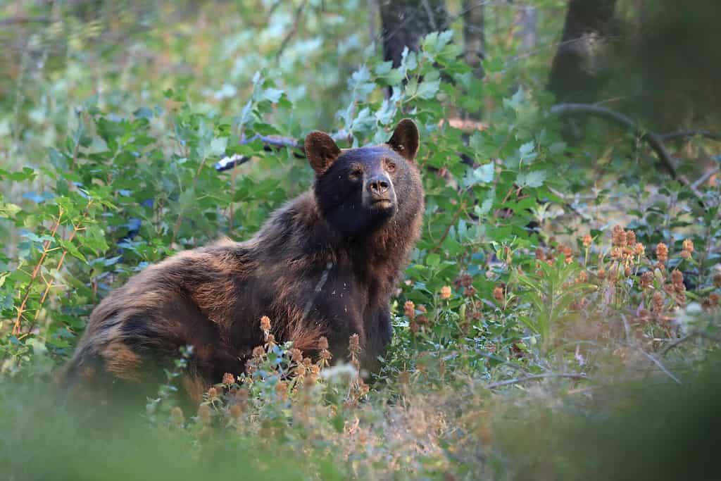
American black bears make their homes all over Michigan.
©Greens and Blues/Shutterstock.com
We have an entire reference page for wildlife in Michigan, but we’ll include some of the rarest animals here. Michigan is only one of nineteen states to have Moose (Alces alces) and is one of the top ten states for black bear (Ursus americanus) populations. The Michigan Natural Features Inventory has compiled an extensive list of rare and endangered animals in Michigan. This list includes the northern goshawk (Accipiter gentilis), the elktoe (Alasmidonta marginata), the long-eared owl (Asio otus), and the American bumblebee (Bombus pensylvanicus). All of these qualify as animals of special concern, threatened animals, or endangered animals. Here’s a list of a few more animals that fall into this specification.
- Lake Sturgeon (Acipenser fulvescens)
- Spotted turtle (Clemmys guttata)
- The Relic (Dichagyris reliqua)
- Snuffbox (Snuffbox)
- Mooneye (Hiodon tergisus)
- Lynx (Lynx canadensis)
There are also several common animals in Michigan, such as the white-tailed deer (Odocoileus virginianus), the raccoon (Procyon lotor), and the northern cardinal (Cardinalis cardinalis).
With common and endangered animals, remember to keep a respectful and safe distance and be careful not to disturb their habitats.
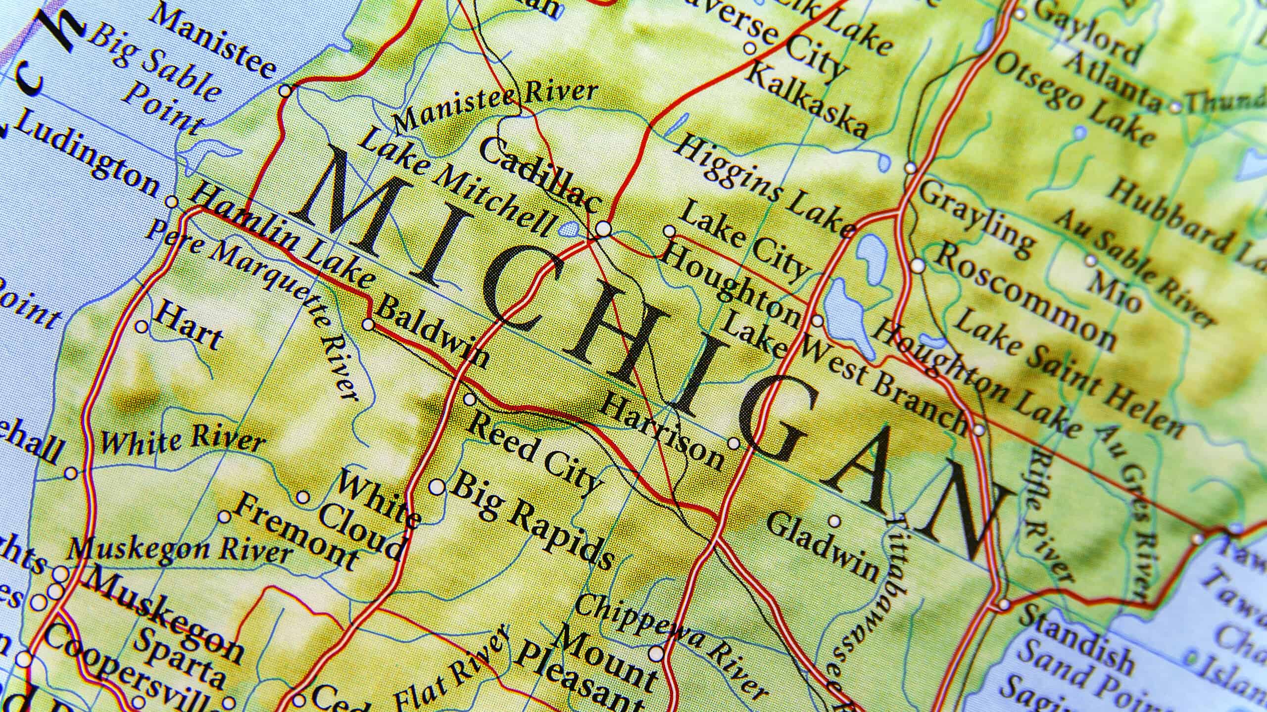
Where is Michigan Located on a Map?
Michigan is located in the Great Lakes region of the upper Midwest. It shares land borders with Wisconsin, Indiana, and Ohio to the south. It is connected to states like Minnesota and Illinois, as well as the Canadian province of Ontario, through Lakes Superior, Michigan, Huron, and Erie.
Here is Michigan on a map:


How to Add Us to Google News


Thank you for reading! Have some feedback for us? Contact the AZ Animals editorial team.