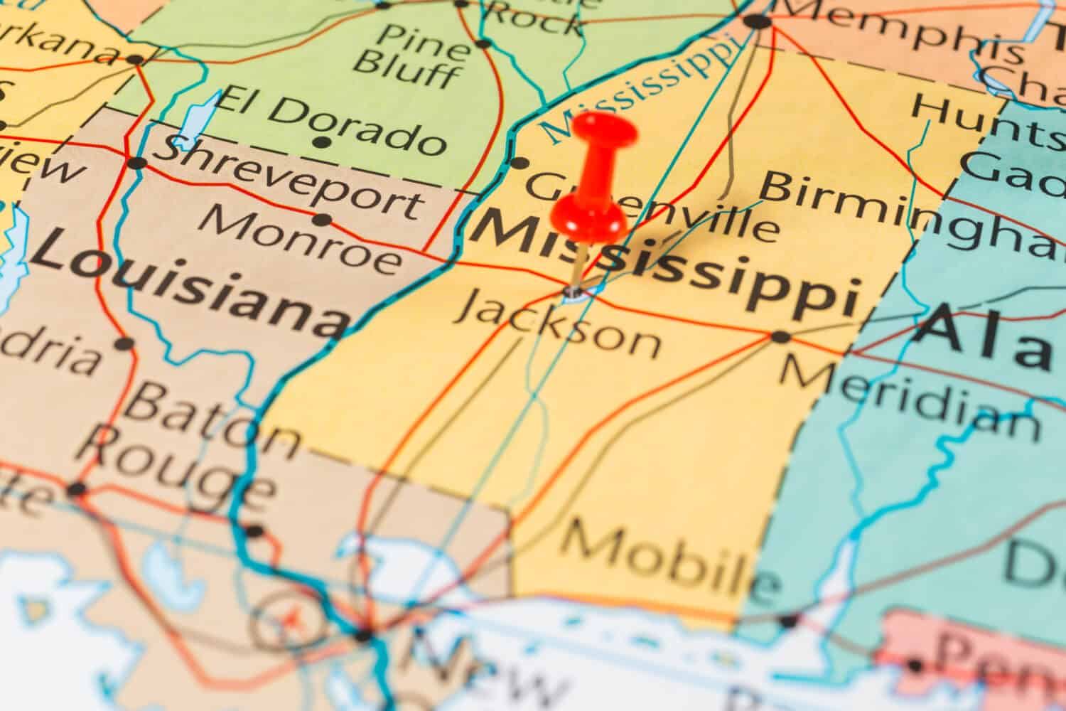

Mississippi is a state on the Gulf Coast, and it is among the smaller states in the country. The state has just about 48,432 square miles of area, making it 32nd on the list of states by size. Mississippi’s small size is not necessarily an indication of its width, especially when states like Tennessee exist. So, how wide is Mississippi by the total distance from east to west?
We’ll show you how wide the state is on average along with the widest and narrowest points in the state.
The Width of Mississippi
The Magnolia State is below-average in terms of size and width.
©2627821/Shutterstock.com
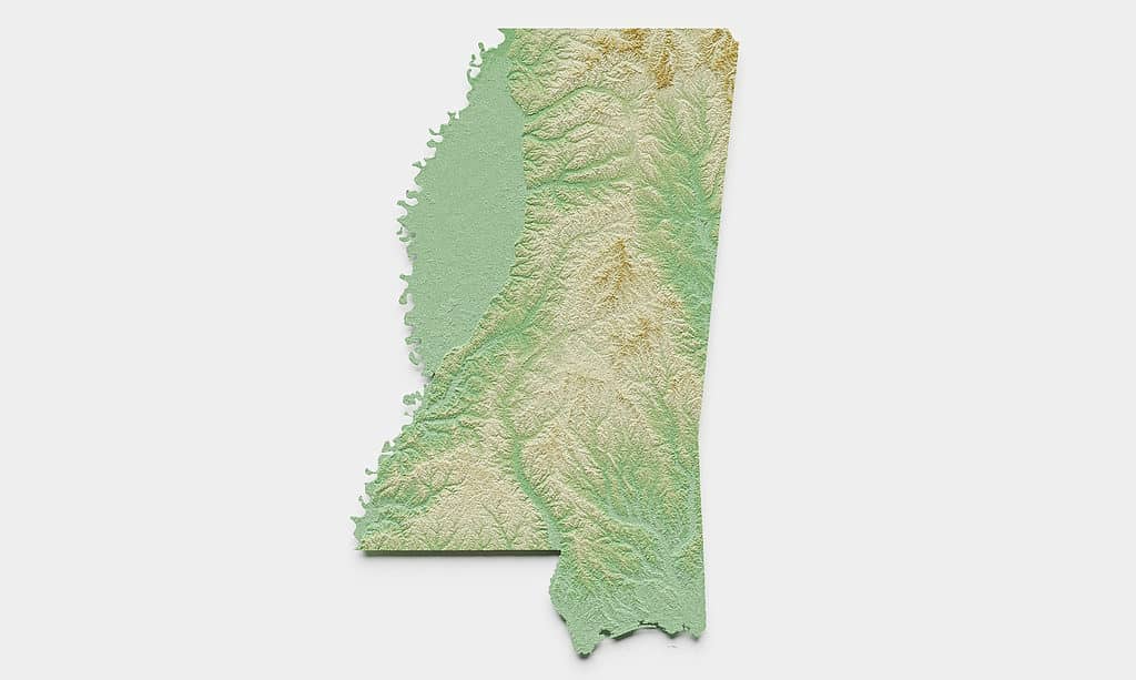
The state of Mississippi is about 170 miles wide on average throughout most of the state. Of course, that measure may seem out of place on account of the southernmost portion of the state where the land narrows considerably. Nevertheless, the 170-mile measurement makes the state a very narrow one compared to others in the country.
The widest point in Mississippi is about 190 miles wide. This measurement is taken from Lucedale in George County, near the border with Alabama to the middle of the Mississippi River off the west coast of Wilkinson County. No other part of the state is this wide.
The narrowest point in Mississippi is about 70 miles, and this narrow area is near the state’s border with the Gulf of Mexico. Specifically, the measure is taken from the state’s border with Alabama near the Gulf Islands National Seashore and the Pearl River near the border with Louisiana. This area is very narrow because Louisiana runs below Mississippi for over half of the latter’s border.
The Overall Size of Mississippi
The area just north of the border with Louisiana is the widest part of the state.
©EmLion/Shutterstock.com
The state of Mississippi is not the smallest in the United States, but it is on the smaller side of the average. The Magnolia State is the 32nd state in terms of overall size, and the vast majority of its total area stems from its land.
Mississippi has about 48,432 square miles of land in the state. While that is certainly more than places like Rhode Island and Delaware, it’s not much compared to the biggest states in the country. For example, Alaska has 665,384 square miles of space. That’s over 10 times larger than Mississippi.
Overall, the state is not the longest, widest, or largest state, but it has a lot to offer people that live there.
How Does Mississippi’s Width Compare to the Widest States?
The Aleutian Islands add to the huge width of Alaska.
©PeterHermesFurian/ via Getty Images
| State | Width |
|---|---|
| Alaska | 2,400 miles |
| Texas | 773 miles |
| Montana | 630 miles |
| Oklahoma | 465 miles |
| Tennessee | 433 miles |
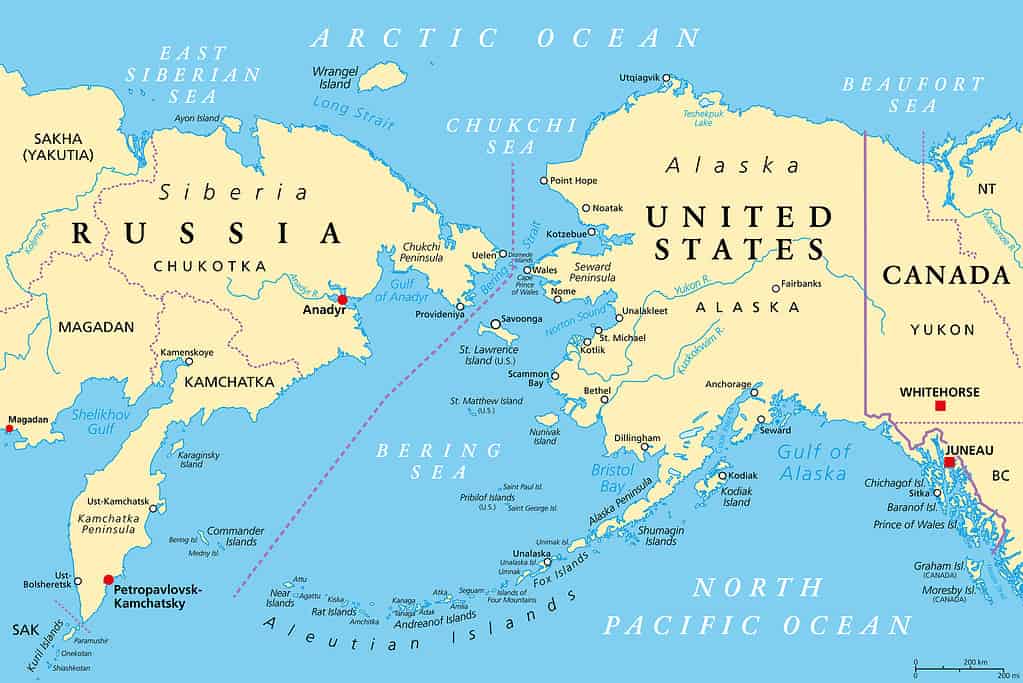
The state of Mississippi is only 170 miles wide on average. That means the state is less than half as wide as some of the widest states in the country. Alaska is a bit of a special case. A lot of Alaska’s total width comes from the trail of islands that extends far into the Bering Sea.
That is why the state is 2,400 miles wide. Considering the main landmass, it’s only about 760 miles from the border with Canada to Wales on the west coast. Even then, it would still be the second-widest state in the country, slightly behind Texas.
About Mississippi
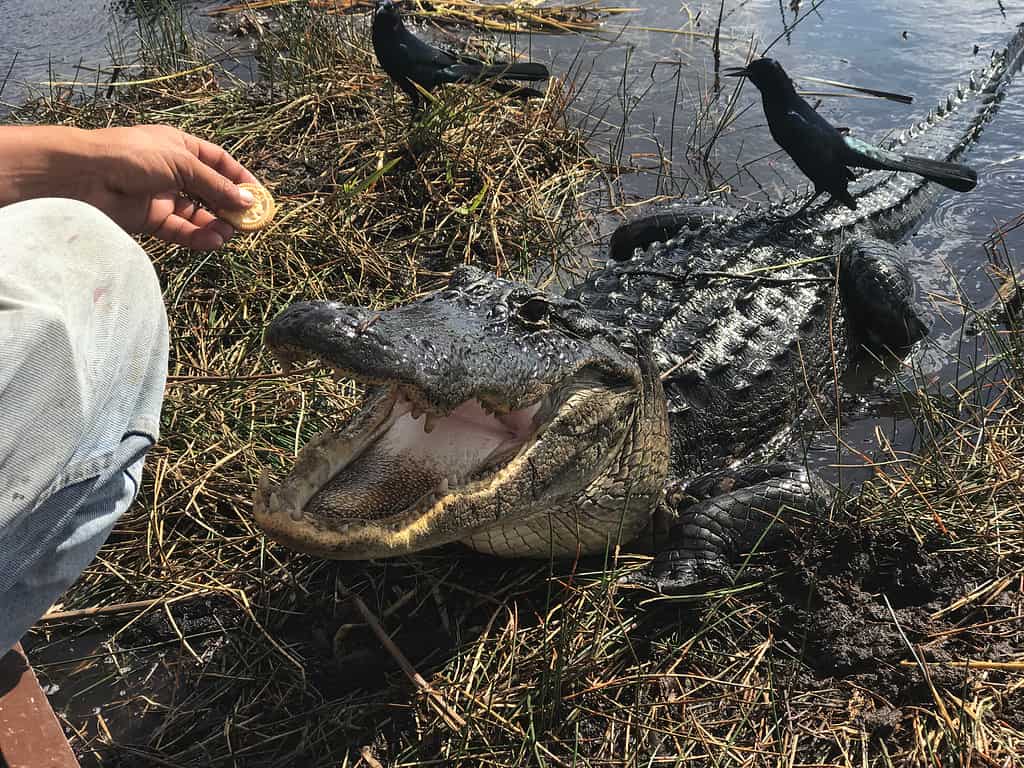
Alligators
and other interesting animals are fairly common in Mississippi.
©Tande/Shutterstock.com
Mississippi is a somewhat small state located on the Gulf Coast. The state is bordered to the east by Alabama and the west by Louisiana. Aside from being a small state, it is not a very populous state, either. About 2.95 million people live in the Magnolia State as of the 2020 Census. The state ranks 34th overall in population.
Mississippi is home to a wide assortment of animals. The state animal is the white-tailed deer, a common mammal in the region. However, rarer animals live in the region as well, including the American alligator along with the black bear.
The state is well-known for being a great place to fish, too. People catch some of the following fish:
- Sauger
- Common carp
- Buffalo fish
- Largemouth bass
- Smallmouth bass
- Bluegill
- Crappie
People have many options for catching fish in this state. Some people head to the best lakes for fishing in Mississippi. Others head to the Gulf of Mexico so they can take part in some bass fishing. Of course, the option always exists for people to fish in the Mighty Mississippi River! The wildlife in this state is incredibly varied!
Geography of the Magnolia State
Mississippi has some interesting geographical features. Of course, most people know that the Mississippi River forms the western boundary of the state. This river is one of the longest in the United States. The state is on the Gulf Coastal Plain, an area of plains and hills with a low elevation. The region is known for having open plains, forests, and marshy areas.
The beaches on the Gulf Coast are fairly long, and many of them are close to highly populated areas on the southern border of the state. These beaches are a popular place for people to swim in, but people need to be observant of the water quality and any other alerts while they’re in the area.
So, how wide is Mississippi? It depends on the measure you’re using, but it’s about 170 miles wide on average. The widest area exceeds that measure by about 20 miles at about 190 miles wide, but the narrowest area is about 70 miles wide. This is not one of the largest, widest states, and its unusual southern boundary does not do the state many favors in terms of size.


How to Add Us to Google News


Thank you for reading! Have some feedback for us? Contact the AZ Animals editorial team.