

Units of measure vary from culture to culture throughout time. Some units of measure can even differ from person to person—like a cubit or a hand for measuring horses. Some measures appear to be the same, but their similarity can confuse. Such is the case with the international (statute) and nautical mile. What’s the difference between the nautical mile vs. the mile, and what occasions call for each? Read on to learn more.
International Mile
The international mile—what we typically think of as a mile—has a long and messy history. It is a holdover of British imperial units of measure and has become customary in the United States. A shortening of the Latin term for a thousand paces (mīlia passuum), the mile has evolved to mean 5,280 feet. This was based on an equivalence to 8 furlongs from Elizabethan-era England. It has sometimes been called the statute mile, though that term was limited in American law to the slightly shorter “survey mile.”
In 1959, the British Commonwealth and the United States agreed to standardize the mile to mean 1,609.344 meters, since meters were being used for official purposes by both governments. In everyday use, most countries have also converted to kilometers, except the United Kingdom, the United States, Liberia, and some small countries and US or UK territories. Sometimes, the international mile is referred to as a statute mile, but this can confuse with the US’s ties to the survey mile.
The unit of speed relative to the mile is miles per hour, otherwise known as mph.
Nautical Mile
The nautical mile is defined as being 1,852 meters (6,076 feet) and is used primarily for marine and air navigation. However, it has extended its reach to include space navigation and to define territorial waters. During the early days, maritime navigation was done by eye. With the creation of navigational instruments around 1500, cartographers began to use a system centered around parallels of latitude and meridians of longitude.
At about this time, standard measurements around these cartographic elements were developed. The English geographer Robert Hues proposed that a nautical mile was the length of a meridian spanning 1/60th of a degree of latitude. This helped bring some consistency, though since the earth is not a perfect sphere, latitude is not constant. This meant the mile would be 1,861 meters at the poles, yet 1,843 meters at the equator. In the mid-19th century, France defined it as 1,851.85 meters. The US and the UK chose 6,080 feet, which worked out to approximately 1,853 meters. In 1929, most of the international community formally set the nautical mile at 1,852 meters. The US adopted this standard in 1954, while the UK didn’t adopt it until 1970.
The unit of speed relative to the nautical mile is the “knot.”

It would be difficult to navigate at sea without the nautical mile.
©Alex Stemmers/Shutterstock.com
Nautical Mile vs. Mile: Practical Uses for Each
The nautical mile was developed as a practical way to measure the distance at sea according to the earth’s curvature. Today, it is also used for air and space travel and to define territorial waters.
The international mile developed over time to measure distance on land. Many cities in the United States lay out their streets according to a grid system based on the mile, with larger streets being about a mile apart. Land surveying is another activity that makes use of the mile. The US used the slightly longer survey mile for some time, though it was deprecated in 2022 and is now discouraged.
Sometimes, the term “metric mile” is used for athletic events, meaning 1,500 or 1,600 meters, which are used for their proximity to the mile, though they are not exact.
Navigational Tools That Use Each Unit
Many digital tools these days can be programmed to give measurements in whatever format is helpful to the user. Some traditional and legacy tools still rely on international or nautical miles.
International Mile
You will typically find the international mile on printed maps within the countries and territories that use it. Miles are also used on highway signs, markers, and online maps like Google Maps and Mapquest, though you can change the units of measure.
Nautical Mile
Nautical miles will be used on nautical charts, as well as aeronautic charts. Other tools used in conjunction with these charts include: dividers, which can be opened to match the scale markings on a map, and then transferred to measure distances; a compass, which will give direction; and parallel rulers, which will allow you to transfer a heading from a compass rose on a chart to your course.
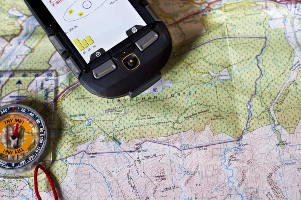
Maps, compasses, and GPS devices would be useless without a measurement standard like the mile or nautical mile to measure them against.
©CLICKMANIS/Shutterstock.com
How to Convert
Knowing how to convert one unit of measure to another can be helpful. A rough estimate down to three decimal places is one international mile = 0.869 nautical miles, whereas one nautical mile = 1.151 international miles. The legend on a chart can present both units of measure to avoid conversion difficulties.
Use of Metric System
It should be noted that most nations use the metric system and therefore use kilometers for land measurement and surveying.