
Texas is all about doing things on a big scale, but that trend can sometimes go in the opposite direction! Today, we are going to look at the fastest-growing counties in Texas. Many of these counties have hit some truly staggering population cliffs over the past few years. Let’s get started and learn about the overall population trends in Texas as a state, plus a bit about each county.
Texas’ Overall Population Trends
Texas has seen one of the largest population booms of all the 50 states. However, what do the actual numbers look like?
As of 2023, Texas has a total population of 30,500,280, making it the second most populated state in the U.S. California currently holds the first spot, but Texas is right on its tail! Why is Texas such a population center? Well, the biggest reason is that the state itself is huge, only behind Alaska in sheer land mass. Having a lot of land on the mainland is a sure way to have a large population. That said, Texas’s size and population create a population density well below the more populated states, with 105.2 people per square mile.
As for large cities, Texas has three with over a million people: Dallas, Houston, and San Antonio; each of which ranks on the top 10 largest cities in the U.S., and when you add cities like El Paso, Fort Worth, and Austin (all with over 500,000), it becomes clear where so many people are located.
The 10 Fastest-Shrinking Counties in Texas
For our ranking today, it’s important to know that we have distributed it based on the overall population declines, as a percentage, since 2010. Seeing population trends from around a decade or so worth of data is more accurate for the long-term growth of a region, especially with the destabilizing event that was COVID-19. World events will also heavily influence anything taken exclusively over the past 2-3 years and wouldn’t be valuable for a larger view of what’s going on in these counties. Let’s get started!
1. Schleicher County
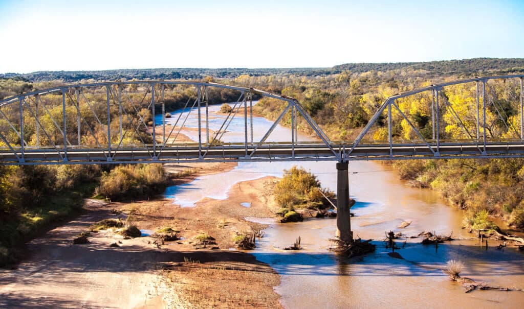
Central Texas is mostly hills and grass amid a semi-arid climate.
©Bob Pool/Shutterstock.com
Schleicher County is the fastest-shrinking county in Texas, with an overall growth since 2010 of -37.94%. It currently has a population of 2,148 people and a land area of 1,311 square miles, giving it a population density of around 2 people per square mile. Schleicher has an extremely low population density, although, as far as this list goes, it isn’t unique. Texas is massive, and many counties have a nearly 1 to 1 ratio of people to square miles.
Schleicher County is located in central Texas and was created in 1887 by a German immigrant named Gustav Schleicher. Originally, the region was home to Jumano Indians, later being occupied by Lipan Apaches and Comanches. The only large city in the county is Eldorado, named after the mythical city of gold. Oil money in the area enabled some local infrastructure, but the region doesn’t have many other industries.
2. Edwards County
Edwards County is the third fastest-shrinking county in Texas, with an overall growth rate since 2010 of -37.66%. It currently has a population of 1,248 and a land area of 2,120 people, giving it a population density of less than one person per square mile. Like the rest of south-central and western Texas, the area is extremely sparse.
Edwards County is located in south-central Texas, only a little ways below Schleicher County, and is a part of the same geographic region. Its original namesake was Haden Edwards, one of the area’s early settlers. The region was also home to Lipan Apache and Comanche before European colonists came. The largest town in the county is Rocksprings, and one of the area’s major exports is mohair, a fabric or yarn made from the Angora goat.
3. Dickens County
Dickens County is the third fastest-shrinking county in Texas, with an overall growth since 2010 of -35.8%. It currently has a population of 1,569 and a land area of 905 square miles, giving it a population density of 2 people per square mile.
Dickens is located in the northern portion of the state known as the Panhandle Plains. The Panhandle Plains is primarily grassy and is part of the Great Plains of the U.S., although it isn’t quite as flat as the rest of the region. The county’s largest city is Spur, although Dickens is the county seat.
4. Terrell County
Terrell County is the fourth fastest-shrinking county in Texas, with a growth rate since 2010 of -29.47%. It currently has a population of 694 and a land area of 2,358 square miles, giving it a population density of 0.32 people per square mile. The name came from Alexander W. Terrell, a senator from Texas. It is quite famous as the setting for the book No Country for Old Men and the associated film.
Terrell County sits in a Texas region known as Big Bend Country. The area consists of wide open areas of rugged land, plateaus, and desert highlands. Several ancient indigenous sites and old artifacts have been found in the area. It’s the seventh least-populated county in Texas and the 37th least-populated county in the entire country.
5. Loving County
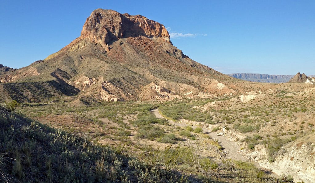
The smallest county in Texas (by population) is the second smallest in the country. It’s located in the Big Bend Country region of Texas.
©Fredlyfish4/Shutterstock.com
Loving County is the fifth fastest-shrinking county in Texas, with an overall growth since 2010 of -29.27%. It currently has a population of 58 and a land area of 677 square miles, resulting in a population density of less than one-tenth of a person per square mile. Additionally, Loving is the second least-populated county in the entire country, only behind Kalawao County in Hawaii. The county was named after Oliver Loving, a cattle driver who created the Goodnight-Loving Trail.
Originally, the area was inhabited by nomadic hunters, and when Europeans came, it was considered as a route for the transcontinental railroad, but lack of water caused issues. In fact, the water for the region is imported from Kermit or Pecos due to the groundwater containing high levels of gypsum. Loving County is in Big Bend country in western Texas.
6. Presidio County
Presidio County is the sixth fastest-shrinking county in Texas, with an overall growth since 2010 of -28.06%. It currently has a population of 5,624 and a land area of 3,856 square miles, giving it a population density of around two people per square mile. It was originally named for the border settlement of Presidio del Norte, an establishment located on the Rio Grande that forms part of the border with Mexico with the county.
There were a few early groups in the region, including Masames tribes, Toboso, Nonojes, Apache, and many others. The county is located in the Trans-Pecos region of Texas and is mostly hot and arid, although certain areas are classified as cold steppes. The largest city in the county is Presidio, while the county seat is Marfa.
7. Concho County
Concho County is the seventh fastest-shrinking county in Texas, with an overall growth since 2010 of -24.91%. It currently has a population of 3,069 and a land area of 994 square miles, giving it a population density of around three people per square mile. The county was originally named after the Concho River, which got its name for the high number of shells found in it.
Located in Central Texas, Concho County was established in 1858. Like most of Texas, it was originally inhabited by indigenous peoples, who were later removed or killed by Europeans. The Mackenzie Trail was established throughout the county, and it is the leader in sheep production across the state. The largest city is Paint Rock, and the county seat is Eden.
8. Cochran County
Cochran County is the eighth fastest-shrinking county in Texas, with an overall growth since 2010 of -24.91%. It currently has a population fo 2,373 and a land area of 775 square miles, giving it a population density of around three people per square mile. Cochran County was originally named after Robert E. Cochran, one of the defenders of the Alamo.
It’s located in the panhandle of Texas, along the border with New Mexico, in a region known as the Panhandle Plains. Specifically, it sits on the Llano Estacado, an area of high plains and one of the largest mesas in North America. The largest city and county seat in the county is Morton.
9. Sutton County
Sutton County is the ninth fastest-shrinking county in Texas, with an overall growth since 2010 of -23.84%. It currently has a population of 3,144 and a land area of 1,454 square miles, giving it a population density of a little over two people per square mile. Sutton’s name comes from John S. Sutton, an officer in the Confederate Army during the Civil War.
Records of humans in Sutton County date back to 9500 BC, with the first large force of Europeans settling in the area in 1736 while following Devils River. Sutton is located in the central part of Texas in a region known as Hill Country. Hill County is mostly grassland that sits on the Edwards Plateau, and erosion over millions of years has created springs and caves under the plateau.
10. Foard County

One of the last dry counties in the United States, Foard County voted to change the law and has allowed the sale of alcohol since 2006.
©View Apart/Shutterstock.com
Foard County is the tenth fastest-shrinking county in Texas, with an overall growth since 2010 of -23.43%. It currently has a population of 1,023 people and a land area of 708 square miles, giving it a rough population density of 1.5 people per square mile. Foard County was named after Robert Levi Foard, an attorney and officer in the Confederate Army.
Foard was founded in 1891 and is located in the northern portion of the state in a region known as the Panhandle Plains. Until 2006, Foard County was totally dry until its voters approved a referendum. A dry county is an area which prohibits the sale of alcohol.
Conclusion
There are a few big takeaways that we can see from the fastest-shrinking counties in Texas. First, it’s clear that all of the places that are experiencing a decrease in population are extremely rural and sparsely populated. On our list, almost all of the counties were in the central, western, or northern regions of Texas, all areas that are known for their prairies and arid climates. Large cities like Austin and the DFW metro area are all located in the eastern half of Texas.
Additionally, the population changes are over at least a decade for these shrinking counties, while the larger counties are currently experiencing rapid population growth. Essentially, urbanization in Texas is clearly occurring, and rural areas are getting smaller while urban ones are growing in size. This is a trend not unique to Texas but to the world as a whole.
The photo featured at the top of this post is © Roschetzky Photography/Shutterstock.com


How to Add Us to Google News


Thank you for reading! Have some feedback for us? Contact the AZ Animals editorial team.