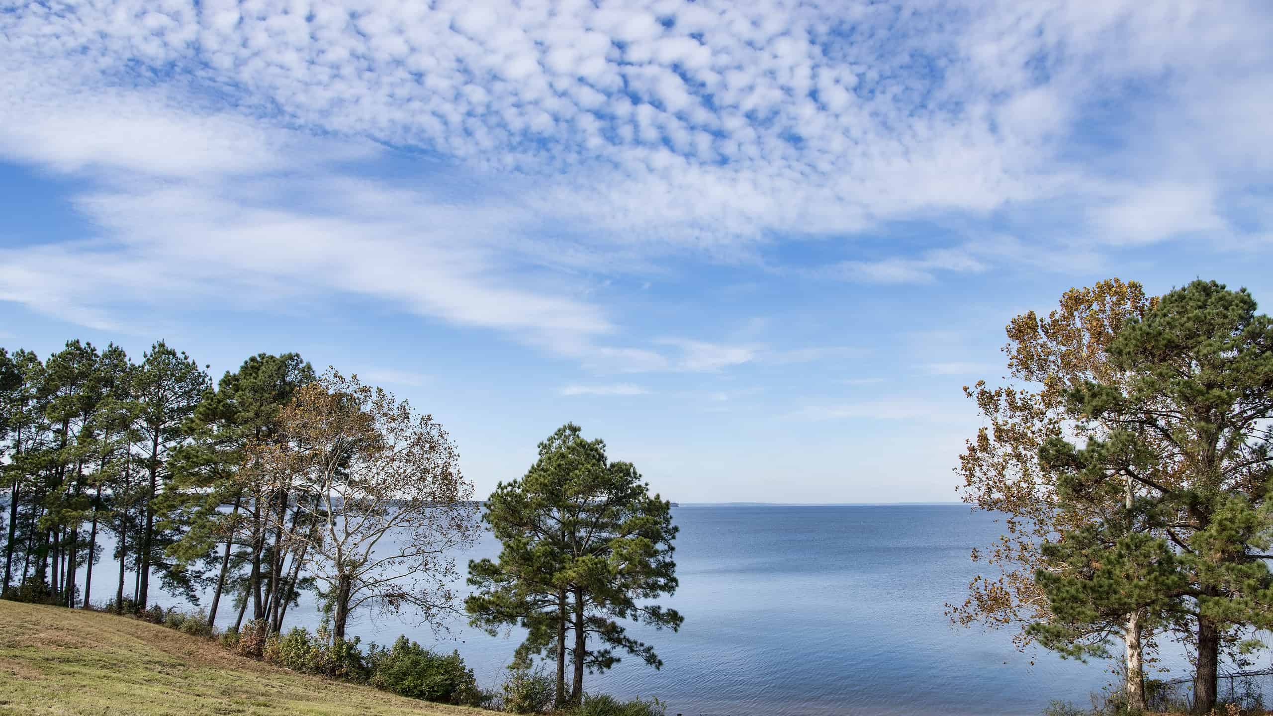

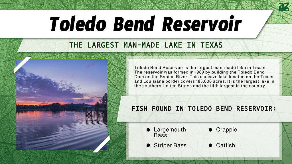
Toledo Bend Reservoir is the largest man-made lake in Texas. The reservoir was formed in 1969 by building the Toledo Bend Dam on the Sabine River. This massive lake located on the Texas and Louisiana border covers 185,000 acres. It is the largest lake in the southern United States and the fifth largest in the country.
The Dam is located about 16 miles north of Burkeville, TX, with the reservoirs extending upriver 65 miles to Logansport, LA.
Toledo Bend Reservoir, located on the Texas and Louisiana border, is the largest man-made lake in Texas covering 185,000 acres.
Toledo Bend Reservoir History
Before the Dam
In the early 1900s, the southern sections of the Sabine River around Orange, Texas were frequently flooded. This caused devastating effects on the towns and industries along the river. The idea to create a reservoir along the Sabine River seems to have begun as early as the late 1930s.
After the successes of other reservoir projects such as the TVA, the US Army Corps of Engineers completed a study of the Sabine River valley. Surprisingly the study first determined that a reservoir was not feasible.
In 1949, Texas took it upon itself to review the feasibility of creating a reservoir by forming the Sabine River Authority (SRA) of Texas. Louisiana followed in 1950 and formed the SRA of Louisiana.
The two states formed an agreement called the Sabine River Compact, which was approved by Texas in 1953, and Louisiana in 1954, followed by the US Congress and the President. The Compact provided for the provisions to create a reservoir providing a fresh water supply, hydroelectric power, and recreational opportunities.
The details and planning of the reservoir began in 1955. Four years later, it was estimated the project would cost $60 million, with the cost to be covered equally by the two states. It would be one of the largest projects not funded at the federal level.
There was naturally some opposition from residents who lived in the area that would be flooded, but support from local groups that saw the economic benefits from other similar projects outweighed those who did not support it.
Construction
The groundbreaking of the Toledo Bend Dam was held on October 5, 1961. Price Daniel, the governor of Texas, and Jimmy Davis, the governor of Louisiana each held shovels and turned the first bit of soil.
The ceremony was held before a large crowd from both states about one mile south of where the actual dam was to be built. The dam site was not accessible by road and was in a remote area, so it was not feasible to have the ceremony there.
In 1963, the states began purchasing the land that the reservoir would occupy. About 101,000 acres are in Louisiana and 80,000 acres are in Texas. Soon after acquiring the land, the timber was removed.
By the time the reservoir started to fill, about 20,000 acres of timber remained that were submerged. Another 30,000 acres were partially submerged. Cemeteries that would be flooded were moved to higher ground. While there were not any major towns in the area, numerous homes and farms were flooded.
Construction of the Dam began on May 11, 1964. The dam is a rolled earth fill dam that is 185 feet high. The embankment area of the dam is 11,200 feet long and 112 feet above the original river.
Two hydroelectric turbines generate a total capacity of nearly 81,000 kilowatt hours of electricity. The closure section of the dam was completed in October 1966 and the reservoir began to fill. The dam was officially completed and began generating in early 1969, with a dedication ceremony held on October 11, 1969.
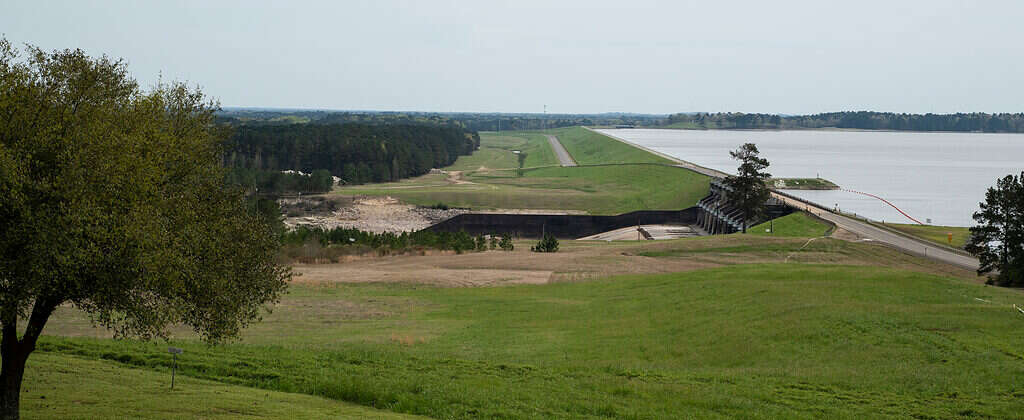
The Toledo Bend dam was completed in 1969 creating the Toledo Bend Reservoir benefitting both Texas and Louisiana.
©Judy M Darby/Shutterstock.com
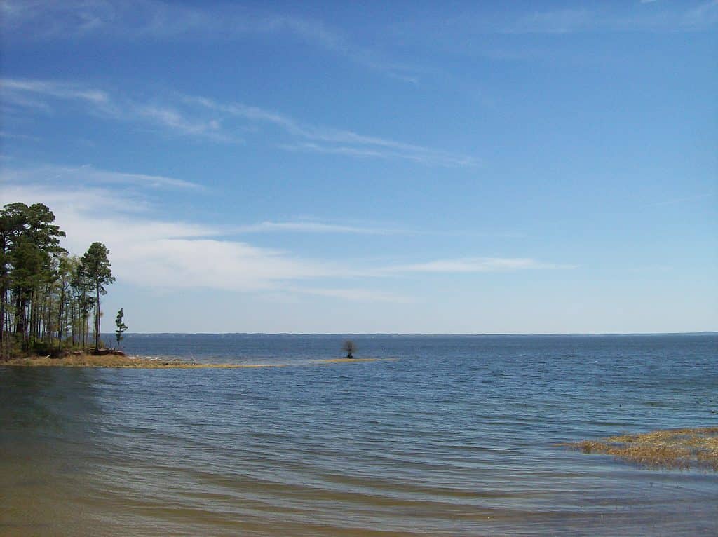
Toledo Bend Reservoir Today
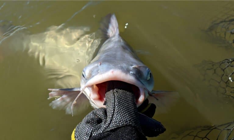
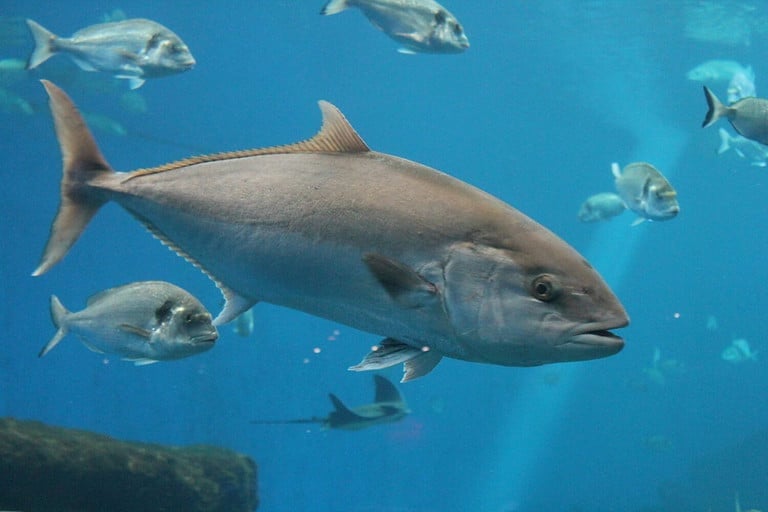
Toledo Bend Reservoir today is best known for its great fishing opportunities. The timber that was submerged when the lake was formed provides excellent habitat. For two years in a row in 2015 and 2016, Bassmaster magazine named the reservoir the top bass fishing lake in the nation.
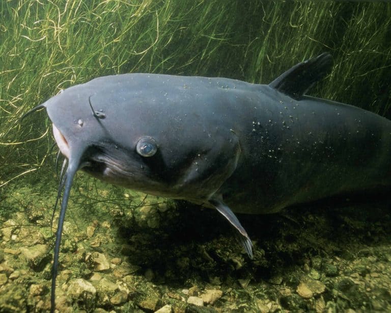
The current largemouth bass record for the lake is 15.33 pounds, with 139 basses over 10 pounds caught in a single year. In order to promote and conserve the excellent fish population, the Toledo Bend Lake Association manages the Toledo Bend Lunker Bass Program. The program awards a free fiberglass replica of any bass over 10 pounds that are caught and released in the lake.
There are over 100 fishing tournaments held every year on the lake. In addition to largemouth bass, crappie, white bass, striper bass, and catfish are also in abundance.
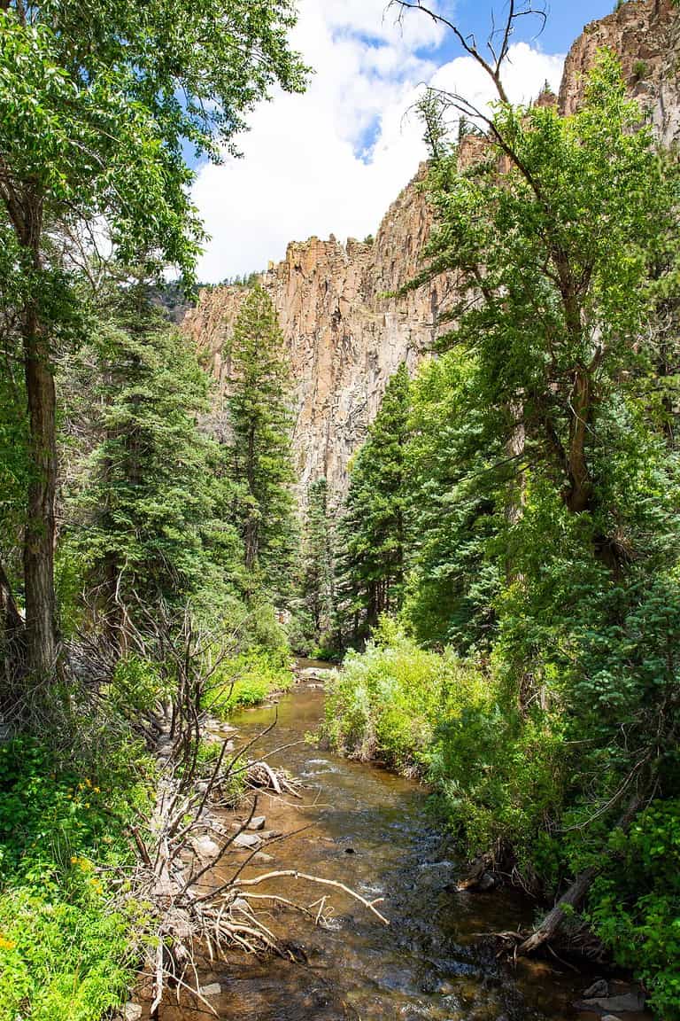
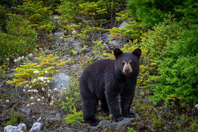
The Sabine National Forest is located on the west side of the reservoir. With over 160,000 acres of undeveloped wilderness, the forest provides visitors with plenty of room to camp, hike, and explore the outdoors.
The forest includes Moore Plantation, a 26,500-acre wildlife management area managed by the Texas Parks and Wildlife Department. This area is known for excellent deer hunting.
Visitors to the reservoir can enjoy boating, water skiing, camping, hiking, and golf. There are various marinas, campgrounds, RV parks, restaurants, and resorts around the lake’s 1200 miles of shoreline. Many avid fishermen also choose to retire to the area.
The massive Toledo Bend reservoir offers plenty of room for visitors to enjoy it each year. With its excellent fishing, boating, camping, and hunting opportunities, it is truly an outdoorsman’s paradise.
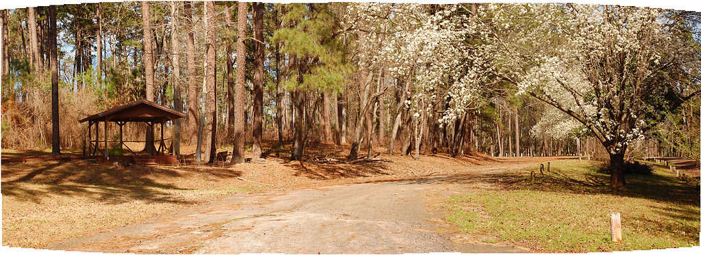
The Sabine National Forest, located on the west side of the Toledo Bend Reservoir, contains 160,000 acres of undeveloped wilderness.
©US Forest Service – Southern Region / Flickr – Original / License
Where is Toledo Bend Reservoir Located on a Map?
Toledo Bend Reservoir, situated on the Sabine River which spans the border between Texas and Louisiana, is a man-made body of water occupying an expanse of 185,000 acres. This reservoir holds the distinction of being the largest such body of water in both Louisiana and Texas, the biggest in the southern region of the US, and the fifth largest in terms of surface area across the entire country.
Here is Toledo Bend Reservoir on a map: