
Oregon is a beautiful coastal state that boasts a variety of attractive features. From its rushing rivers to its soaring mountains, the state of Oregon has plenty to offer to anyone who ends up within its borders. Oregon is the 9th-largest state in the United States, with a total area of 98,381 square miles. In comparison, the United Kingdom is only 94,058 square miles. Resting in the Pacific Northwest region of the country, it also has a lot of features that are unique in comparison to most other states. Today, we’ll be learning about Oregon’s location, pointing it out on a map, and noting some important features of the state. So, where is Oregon? Let’s find it on a map.
Where Is Oregon on a Map?
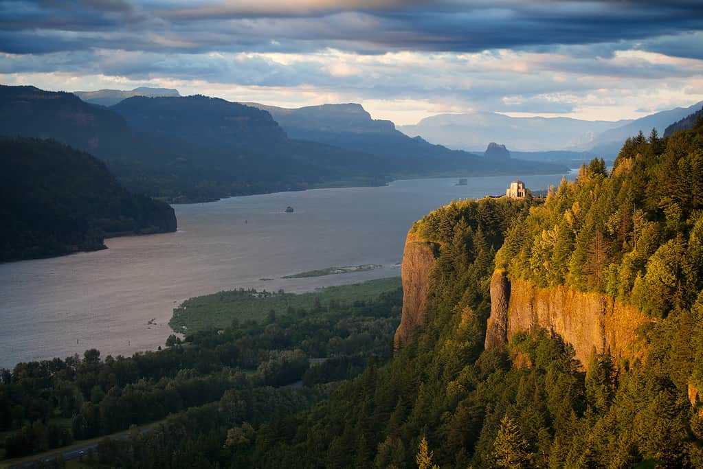
Crown Point in Oregon overlooks the Columbia River Gorge. The Columbia River marks the border between Washington and Oregon.
©alptraum/iStock via Getty Images
Oregon is a coastal state in the Pacific Northwest. That means it shares a border with the Pacific Ocean. It is only one of three states in the lower 48 that touch the Pacific Ocean. In all 50 states, it is one of five. California, Oregon, Washington, Alaska, and Hawaii are the only states that touch the Pacific Ocean, which is important to note when we are trying to get our bearings. Now, we’ll look at Oregon on a map to see where it is and what else it shares a border with.
Water defines three of the four borders of the state. For example, the Pacific Ocean carves the entire western border of the state, while the Columbia River defines the northern border. This river divides Washington and Oregon as it flows toward the Pacific Ocean. Next most of the eastern border of the state is created by the Snake River. This river defines the border between Oregon and Idaho and is home to the deepest canyon in the United States. Now, we move to the southern border, which isn’t defined by waterways. Instead, it is created by the 42nd parallel north. This parallel forms the boundary between Oregon and its southern neighbors – California and Washington.
Borders of Oregon
| Border | Direction | What Defines the Border |
|---|---|---|
| Washington | North | Columbia River |
| Pacific Ocean | West | Pacific Ocean |
| California | South | 42nd Parallel North |
| Nevada | South | 42nd Parallel North |
| Idaho | East | Snake River |
When Did Oregon Become a State?
In 1859 Oregon became the 33rd state to join the Union.
©ExpertOutfit/Shutterstock.com
Oregon achieved statehood on February 14th, 1859. Tens of thousands of American colonists had settled in the area several years prior. These settlers had followed the Oregon Trail westward in the name of Manifest Destiny. It is estimated that between 300,000 and 500,000 settlers followed this trail to western states such as Oregon, Washington, California, and Utah. President James K. Polk was a huge believer in Manifest Destiny, and he believed the Oregon Territory was a part of that destiny for the United States. The Secretary of State, John Quincy Adams, was greatly assistive in achieving this goal. In 1846, he used the Oregon Treaty to convince Great Britain to cede the lands that would become the Oregon Territory.
The Oregon Territory was a lot more vast than the state would be. It encompassed a massive area of land – so large, in fact, that it would become four states. Washington, Oregon, Montana, and Idaho were all part of the Oregon Territory before their statehood. The state petitioned for its statehood in 1857, and on February 14th, 1859, Oregon became the 33rd state to join the Union.
Major Cities in Oregon

Portland is the most-populated city in the state of Oregon.
©Sean Pavone/iStock via Getty Images
Oregon is home to 4.246 million people (2021 Census). 373 towns and cities house most of this population. Around 75 percent of the population lives in the Willamette River Valley. The Willamette Valley is home to cities such as Portland, Eugene, and the state capital, Salem. Let’s look at a table of the 15 most-populated cities in Oregon. The state capital is highlighted in bold. Population estimates are based on 2021 census data from the United States Census Bureau.
| City | Population | Region |
|---|---|---|
| Portland | 641,162 | Willamette Valley |
| Salem | 177,723 | Willamette Valley |
| Eugene | 175,096 | Willamette Valley |
| Gresham | 113,103 | Willamette Valley |
| Hillsboro | 106,633 | Willamette Valley |
| Bend | 102,059 | Central Oregon |
| Beaverton | 98,216 | Willamette Valley |
| Medford | 86,367 | Rogue River Valley |
| Springfield | 62,256 | Willamette Valley |
| Corvalis | 59,864 | Willamette Valley |
| Albany | 56,828 | Willamette Valley |
| Tigard | 55,767 | Willamette Valley |
| Aloha | 53,724 | Willamette Valley |
| Lake Oswego | 40,411 | Willamette Valley |
| Grants Pass | 39,364 | Rogue River Valley |
This table helps highlight just how much of the population of Oregon lives in one region. Only three of the seven regions of the state are represented in this table.
Interesting Facts About Oregon
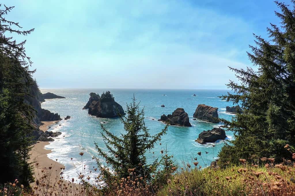
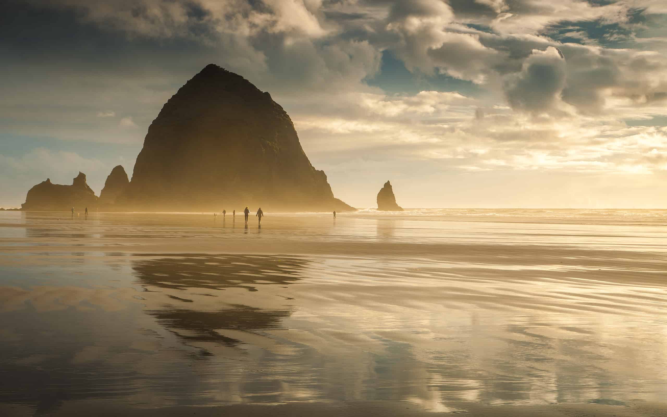
The “Oregon Beach Bill” of 1967 ensures that the entire 362-mile coast is accessible to the public. There are no private beaches in the state.
©ABEMOS/Shutterstock.com
Now that we know where Oregon is on a map and we’ve learned a little bit more about its colonial history and population, we can learn a few fun facts about this beautiful coastal state. Here are ten cool facts you might not have known!
- Astoria, Oregon is the oldest American settlement west of the Rocky Mountains.
- The Columbia River Bar – where the Columbia River meets the Pacific Ocean – is the most dangerous entrance to major commercial waterways in the world. It is nicknamed “The Graveyard of the Pacific”.
- Mt. Hood is the third-most-climbed mountain in the world.
- Home to the deepest canyon in North America. Hells Canyon on the Snake River reaches a maximum depth of 7,993 feet.
- No private beaches – even privately owned beaches must be freely accessible to the public.
- Home to the deepest lake in the United States (Crater Lake), with a maximum depth of 1,943 feet.
- The state flag is the only state to still use a double-sided flag. The flag bears a gold beaver on one side and the state seal on the other.
- There is no state sales tax.
- State invention: the tater tot!
- Home to about 25 percent of the nation’s llama population.


How to Add Us to Google News


Thank you for reading! Have some feedback for us? Contact the AZ Animals editorial team.