
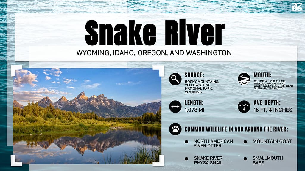
The Snake River is one of the most important waterways in the Pacific Northwest region of the United States. A major tributary of the Columbia River, the Snake River generates hydropower, provides irrigation water, and enhances navigation for residents of six different states. Along its meandering route, the Snake River passes through many different regions. But just how long is the Snake River?
Keep reading to learn more about where the snake river starts, where it finishes, and how long it measures. We’ll also cover the river’s major tributaries, geography, history, and importance.
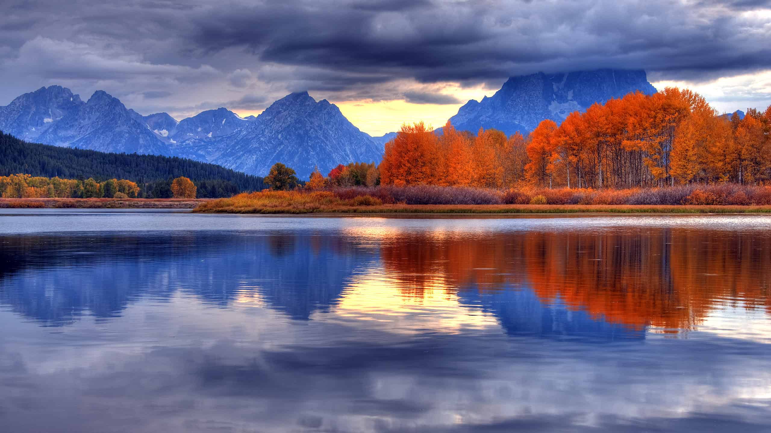
Where Does the Snake River Begin?
The Snake River’s origins begin with three small streams nestled high up within the Rocky Mountains. Its headwaters start at the confluence of these three forks in Yellowstone National Park in northwestern Wyoming. Shortly thereafter, the Snake River flows southward into Jackson Lake in Grand Teton National Park. From there, the river runs through Jackson Hole, a valley between the Teton and Gros Ventre mountain ranges. The river passes the town of Jackson before changing course and flowing west through Snake River Canyon and into eastern Idaho.
Upon entering Idaho, the Snake River travels through the snake River Plain, an expansive, arid landscape covering most of southern Idaho. Just southwest of the town of Rexburg, Idaho, Henry’s Fork joins the Snake River. People sometimes refer to Henry’s Fork as the “North Fork” of the Snake River. Meanwhile, the “South Fork” refers to all of the waters upstream of the confluence.
The Snake River begins in Yellowstone National Park in Wyoming.
©Tucker James/Shutterstock.com
How Long Is the Snake River?
In total, the Snake River measures approximately 1,078 miles from its headwaters to its mouth. This makes the Snake River the ninth longest river in the United States. Additionally, the Snake River ranks as the largest tributary of the Columbia River. Its headwaters reside at an elevation of 9,206 feet, while its mouth resides at just 358 feet above sea level. In other words, along its journey, the river drops nearly 1.6 miles in elevation!
Where Is the Snake River Located on a Map?
The Snake River originates in Wyoming in Yellowstone National Park and joins the Columbia River in Washington, south of Pasco. Its drainage basin includes sections of six U.S. states: Wyoming, Idaho, Oregon, Utah, Nevada, and Washington.
What States Does the Snake River Pass Through?
The Snake River officially passes through four states: Wyoming, Idaho, Oregon, and Washington. However, the Snake River drainage basin includes two other states, Utah and Nevada. The river rises in northwestern Wyoming in Yellowstone National Park and cuts south toward Jackson, Wyoming. It then changes course and flows northwest once it reaches the Palisades Reservoir on the Wyoming-Idaho Border. Near Rexburg, Idaho, the River again changes course and heads southwest towards Idaho Falls and Pocatello. After the American Falls Reservoir, the river flows mostly west until Twin Falls, at which point it again turns northwest.
The Snake River briefly crosses into Oregon around 60 miles west of Boise, Idaho. From there, the river cuts north and forms the entire northern half of the Idaho-Oregon Border. Near Lewiston, Idaho, the Snake River once more changes course and begins to flow west into Washington state.
What Are the Tributaries of the Snake River?
Numerous smaller creeks and rivers feed into the Snake River. While most of the rivers measure much smaller than the Snake River, some rank as substantial waterways in their own right.
From its source in Wyoming to the Idaho border, six major rivers flow into the Snake River. These include the Heart River, Lewis River, Gros Ventre River, Hoback River, Greys River, and Salt River. Of these, the Salt River measures the largest at 70 miles long.
From the Snake River Plains to Hells Canyon near the Idaho-Oregon-Washington border, 10 major rivers join the Snake River. These include:
- Henry’s Fork (sometimes called the North Fork of the Snake River)
- Portneuf River
- Raft River
- Malad River
- Salmon Falls Creek
- Bruneau River
- Owyhee River
- Boise River
- Malheur River
- Payette River.
Of these waterways, Henry’s Fork, Malheur River, Salmon Falls Creek, and Owyhee River all measure over 100 miles long. The Owyhee River measures the largest of the four, at around 280 miles long.
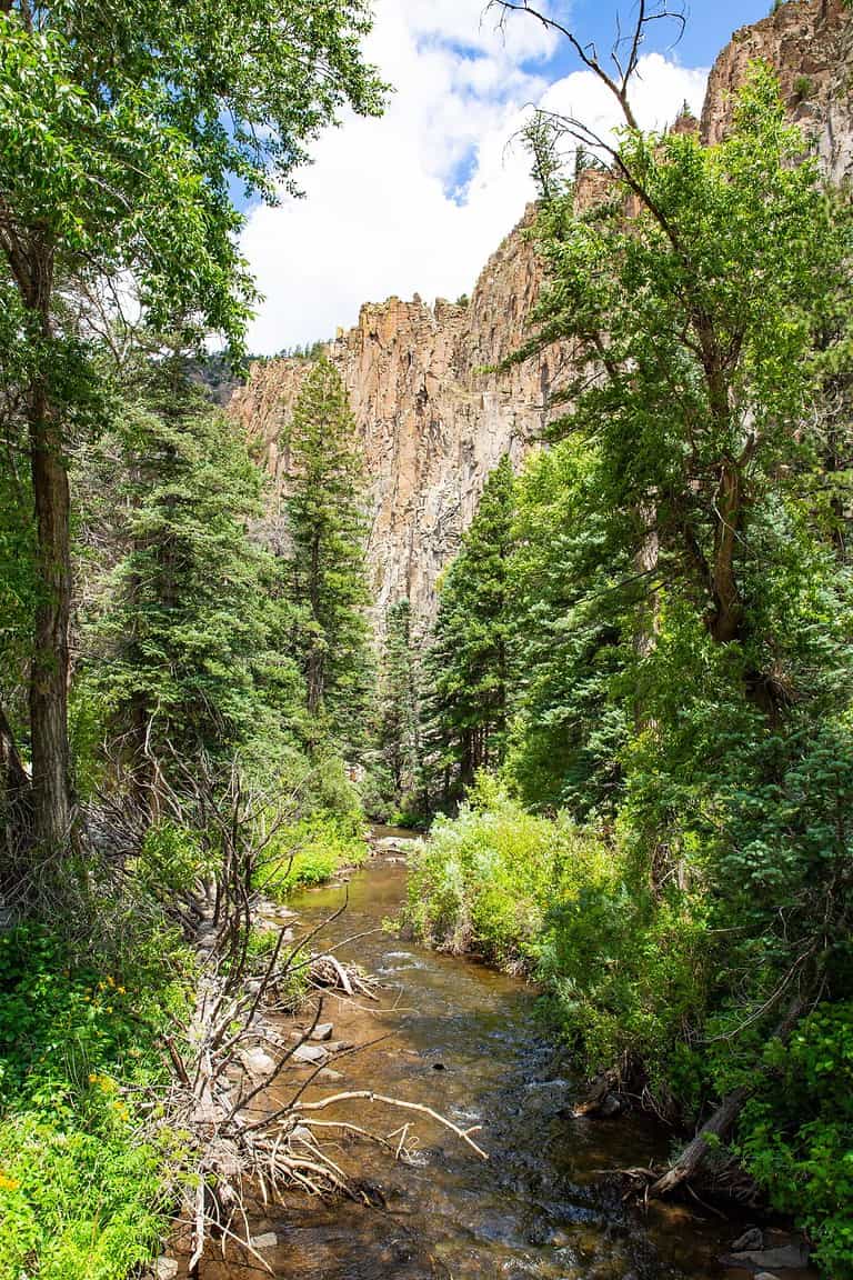
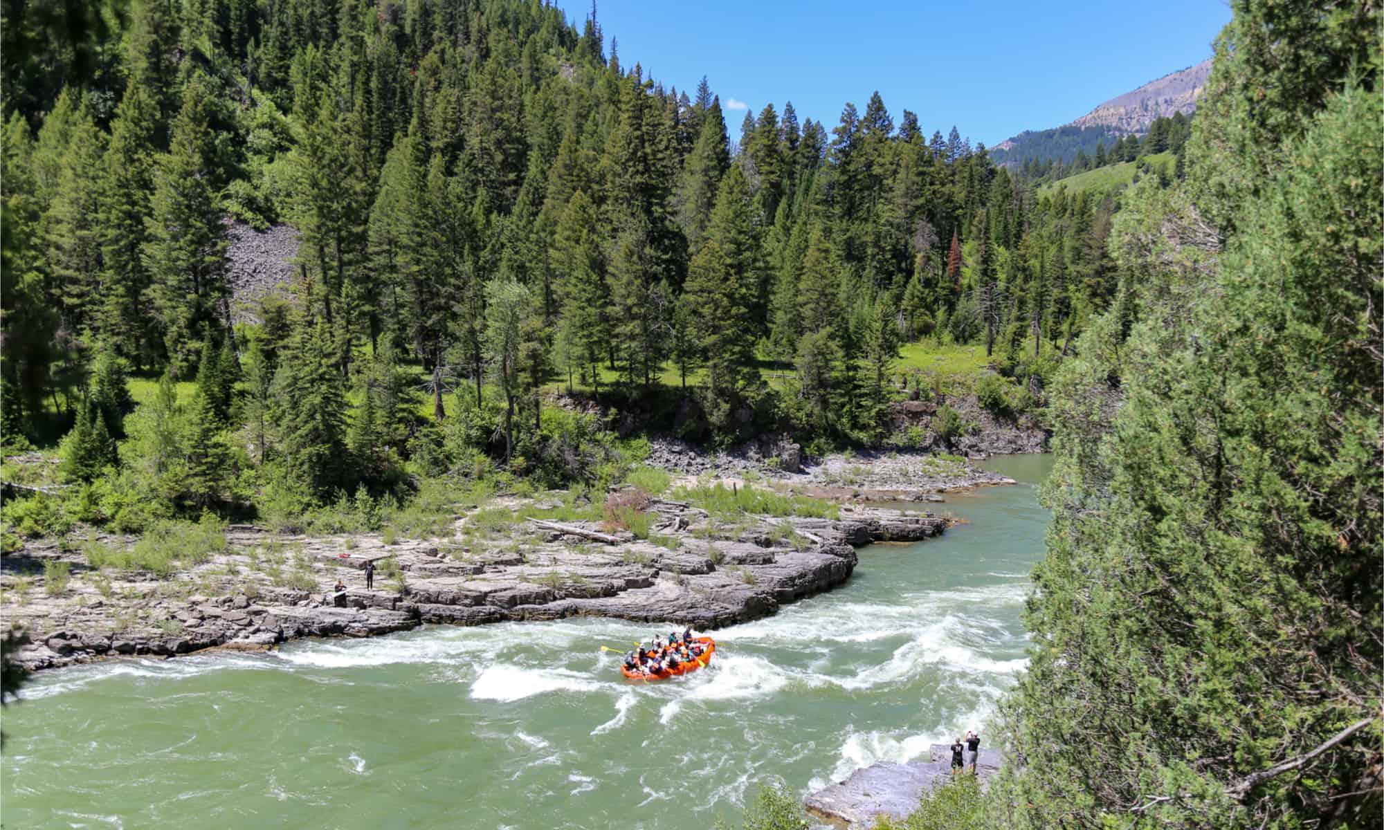
The Snake River winds its way through Hells Canyon, the deepest river gorge in North America. Although Hells Canyon only measures 125 miles, five tributaries join the Snake River during this short stretch. These rivers include the Weiser River, Burnt River, Salmon River, Grande Ronde River, and Clearwater River. Of these waterways, the Salmon River measures the longest, at 425 miles long. This also makes the Salmon River the largest of all the Snake River’s tributaries.
From the Idaho-Washington border, two final tributaries join the Snake River before its confluence with the Columbia River. These two rivers — the Tucannon River and the Palouse River — measure 70 miles and 140 miles long, respectively.
The Salmon River in Idaho is the largest of the Snake River’s tributaries.
© Intermountain Forest Service, USDA Region 4 Photography / Public Domain – Original / License
Where Does the Snake River End?
Upon passing through Hells Canyon, the Snake River cuts west and flows into the Palouse Hills of eastern Washington. This portion of the Lower Snake River features four dams and a series of reservoirs. The Snake River continues to flow west through these locks until it reaches Lake Wallula near Burbank, Washington. Created by McNary Dam, this reservoir represents the confluence of the Snake River with the Columbia River. From there, the Columbia River flows around 325 miles until its mouth reaches the Pacific Ocean.
Is the Snake River Longer than the Columbia River?
At 1,243 miles long, the Columbia River holds the title of the longest river in the Pacific Northwest. That said, the Snake River manages to secure second place in that race at 1,078 miles long. It also goes through a much larger elevation change than the Columbia River. Moreover, the Snake River ranks as the longest river in both Idaho and Wyoming. Meanwhile, the Columbia River is the longest river in Oregon and Washington.
How Did the Snake River Get its Name?
For over 11,000 years, Native American tribes have traveled along and lived near the Snake River. The Snake River’s current name comes from the term “Snake Indians.” Plains Indian tribes used this term to refer to tribes along the Snake River. Namely, the term encompasses the Shoshone, Bannock, and Northern Paiute tribes. Debate continues to rage as to how this term came about. Some believe that the term references the use of snakeheads in war gear by these tribes. Others claim that the Plains Indians referred to these Snake River tribes using a “snake-like” hand gesture. Either way, the name Snake River stuck.
Over the years, the Snake River went by several other names. The Lewis and Clark Expedition named it the Lewis River because Meriwether Lewis first spotted the river. Shortly thereafter, Wilson Price Hunt of the Astor Expedition called it the Mad River. Other names include the Shoshone River and Saptin River. This last name closely resembles the first name for the river recorded in 1800 by Canadian explorer David Thompson, Shawpatin. Meanwhile, local tribes called the Snake River by various names, including Ki-moo-e-nim and Yam-pah-pa, of which the latter is also the name of an herb common along the Snake River’s banks.
Other names for Snake River include Lewis River, Mad River, Shoshone River, and Saptin River.
©Krishna.Wu/Shutterstock.com
Ecology of the Snake River
In terms of geography, the Snake River features a diverse array of ecological zones. The Snake River Plains contains most shrub-steppe grasslands. Riparian zones and wetlands are common in the areas where tributaries flow into the Snake River. In eastern Washington, the river passes through the Palouse Hills. Historically, this area features fertile prairie and hills, but today contains mostly irrigated farmland. Meanwhile, the headwaters of the Snake River historically consisted of heavily forested mountain zones. Although this area still contains large numbers of aspen and fir trees, sage-brush is now more common as well due to deforestation.
The Snake River can be divided into two main parts: the Upper Snake River and the Lower Snake River. Shoshone Falls near Twin Falls, Idaho, represents the boundary between these two sections.
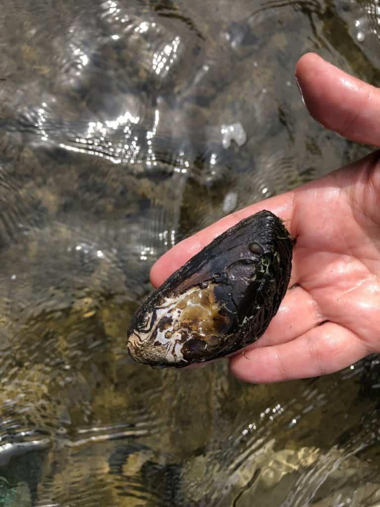
The Upper Snake River is located entirely within southeastern Idaho and Wyoming. This part of the river contains numerous species endemic only to small portions of the Snake River. This list of rare species includes 21 snail and clam species of special concern. The Upper Snake River also contains around 14 fish species found nowhere else along the Snake River or the Columbia River basin.
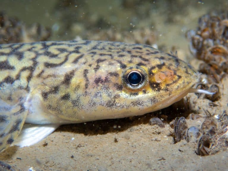
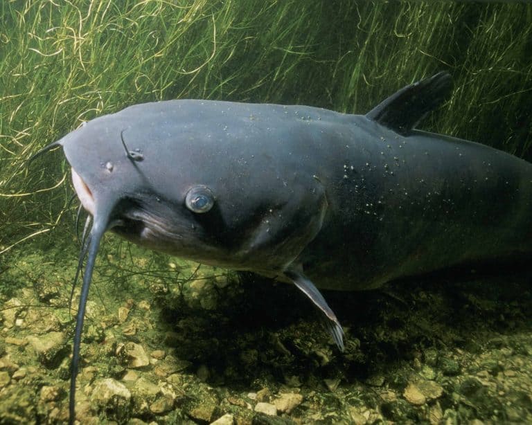
Meanwhile, the Lower Snake River is home to approximately 35 native fish species. You can find 12 of these species within the Columbia River as well, while four can only be found in the Snake River. The four species native to the Snake River include the shorthead sculpin, margined sculpin, relict sand roller, and Oregon chub. The Snake River also supports several species of trout and Pacific salmon, including chinook salmon, sockeye salmon, and coho salmon.
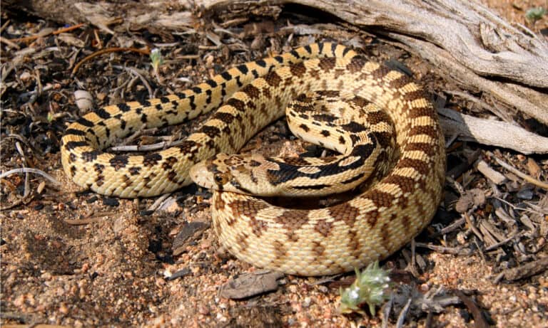
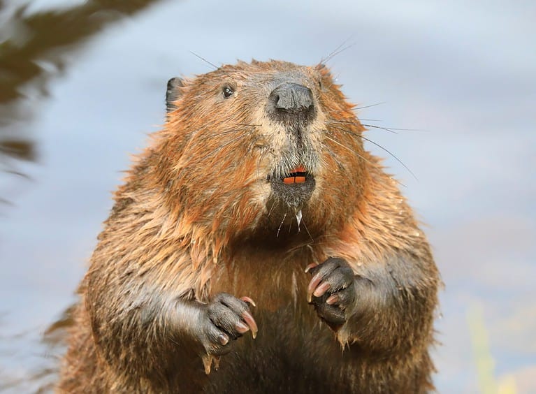
You can find numerous other animals around the Snake River aside from fish. Approximately 97 mammal species live along the banks of the Upper Snake River. Large predators that hunt around the river include grizzly bears, mountain lions, gray wolves, and wolverines. You can also find around 10 different amphibian species and 20 different reptile species around the river. Nearly 274 bird species live along or visit the Snake River. These include peregrine falcons, whooping cranes, and yellow-billed cuckoos.
The Snake River Today
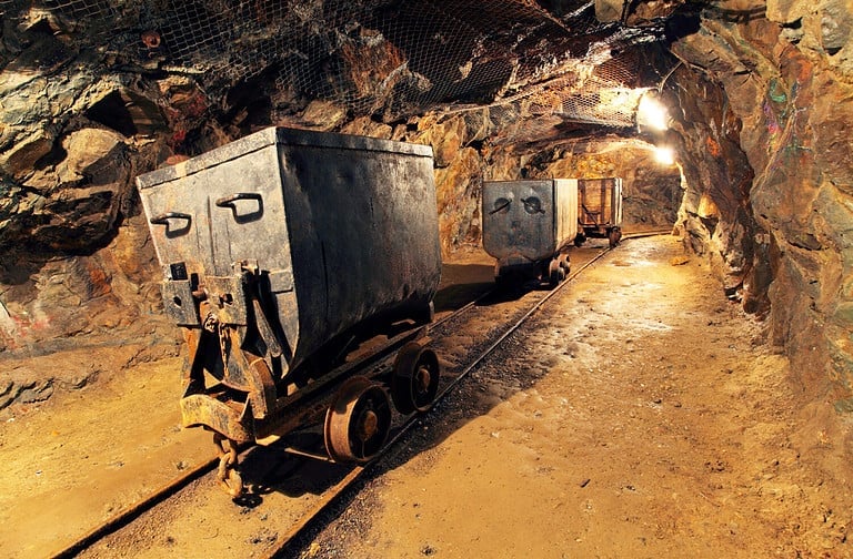
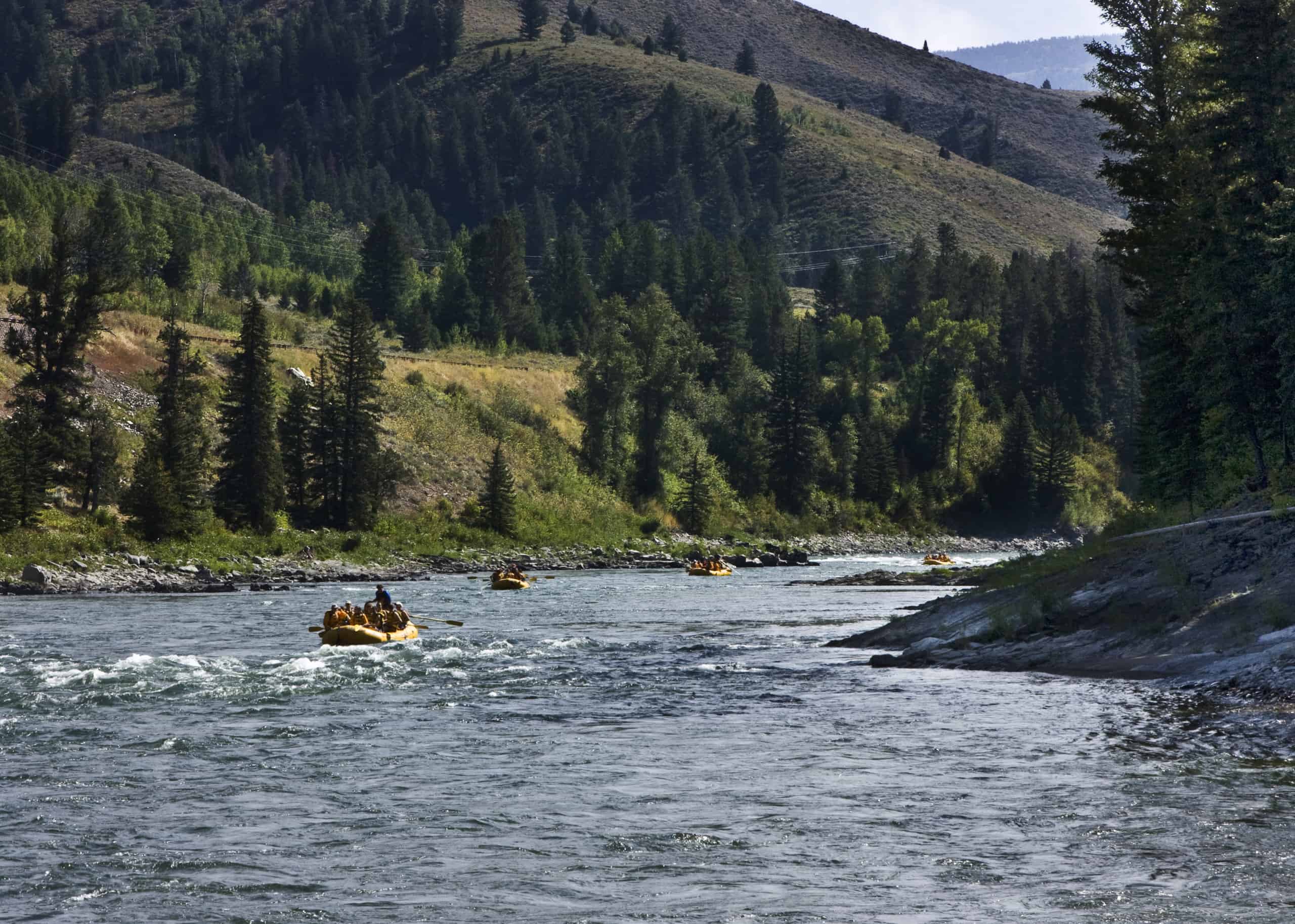
In total, 20 dams have been constructed along the Snake River. These dams perform a variety of functions, including providing irrigation water, producing hydroelectricity, and facilitating navigation. Generally speaking, the dams downstream of Hells Canyon most function to facilitate navigation, while those upstream of Hells Canyon are mostly for providing irrigation water. Due to their inaccessibility, the dams in Hells Canyon exist almost solely to generate hydropower.
Unfortunately, many of these dams ended up negatively impacting the health of the Snake River. For thousands of years, the Snake River served as one of the most important spawning rivers for anadromous fish. These fish — such as salmon — spawn in freshwater, then journey to saltwater to feed and grow. The construction of dams along the river severely affected the migration routes of these fish. Additionally, agricultural runoff has damaged several stretches of the river with high levels of deadly pollutants. The pollutants not only damage the river itself but also impact the reservoirs and aquifers within its watershed.
Over the years, several groups have advocated for the removal of several dams along the Snake River to improve navigation for fish and reduce environmental impacts. Unfortunately, such projects cost a lot of money to remove and can also negatively affect the economy of local regions. Advocates, experts, and politicians continue to weigh the costs and benefits of these projects in the hopes of finding equitable solutions.