
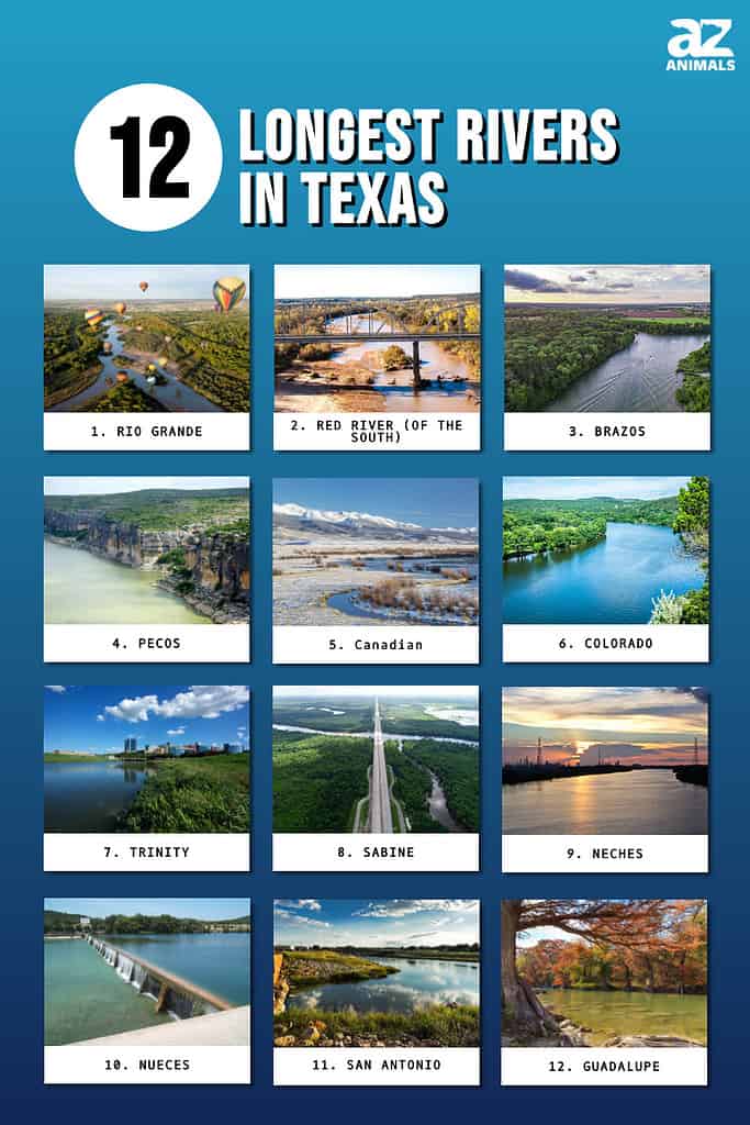
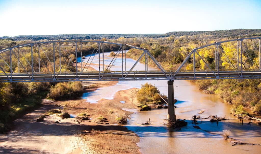
Texas is a state in the south-central region of the United States of America. It is the second-largest state in physical size (following Alaska) and the second-largest state in population (following California). Texas is composed of diverse landscapes of deserts, mountains, rocky hills, prairies, grasslands, forests, coastline, swamps, and piney woods, as well as some very impressive rivers and waterways. Let’s explore some of the rivers in Texas: which rivers in Texas are the largest? What kind of wildlife are found in and along these rivers? How do the rivers in Texas help growing communities? Let’s take a look at the 12 largest rivers in Texas.
How Many Rivers are In Texas?
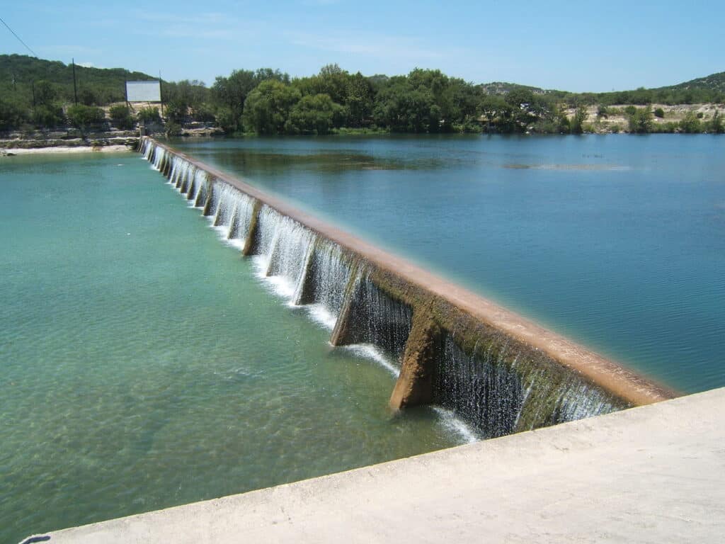
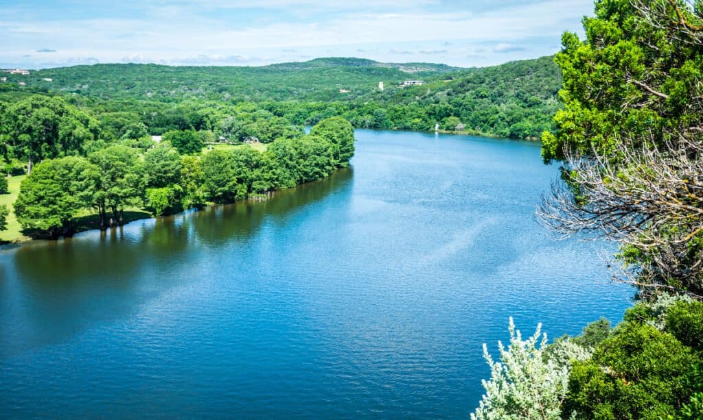
Rivers provide fresh water to both humans and wildlife.
©Kevin Ruck/Shutterstock.com
There are 15 flowing bodies of water large enough to be named “major rivers” in Texas. In addition, there are 3,700 named streams. In total, these waters have a length of more than 190,000 miles!
A river is a moving body of water that flows into a larger body of water, such as a lake, sea, or ocean. In the American Southwest, rivers are vital to growing communities, providing fresh water, transportation, and shipping channels.
As we look at the largest rivers in Texas, we are measuring their size based on length, rather than depth or discharge amounts. So, what are the 12 largest—or longest—rivers in the state of Texas?
12. Guadalupe River
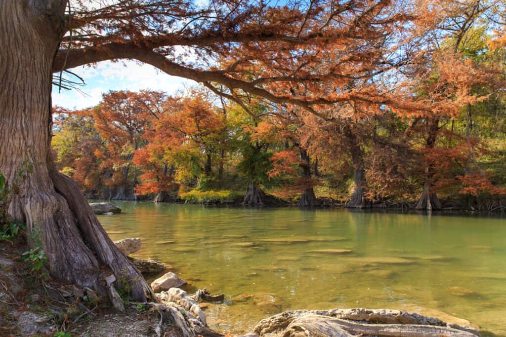
The Guadalupe River is a popular destination for canoeing, fly fishing, and river rafting
©iStock.com/TriciaDaniel
| Guadalupe River | Details |
|---|---|
| Length | 230 Miles |
| Ending Point | San Antonio Bay |
The Guadalupe River is 230 miles long, beginning in Kerr County, Texas, and flowing to San Antonio Bay on the Gulf of Mexico. The river was named after Nuestra Señora de Guadalupe, or the Virgin of Guadalupe (a title given to the Virgin Mary in the Catholic Church). The Guadalupe River is a popular place for fishing, rafting, and canoeing. However, the river can change rapidly and is very dangerous when water levels are high.
11. San Antonio River
The San Antonio River is the largest urban ecosystem in the United States of America
©Terri Butler Photography/Shutterstock.com
| San Antonio River | Details |
|---|---|
| Length | 240 Miles |
| Ending Point | Guadalupe River |
The San Antonio River is 240 miles long and begins in the city of San Antonio, Texas. The river is named after San Antonio de Padua, or St. Anthony of Padua. A group of Spanish explorers and the first governor of Spanish Texas came to the area on the feast day of San Antonio. They decided to name the river and the area after him.
One of the biggest tourist sites in the city of San Antonio, the San Antonio River Walk, runs along the San Antonio River. There are several Spanish missions from the 18th century built along the river, including the San Antonio de Valero, or “The Álamo.” This is where the infamous Battle of the Alamo took place in 1836.
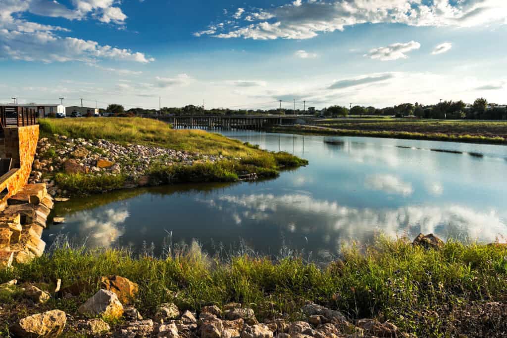
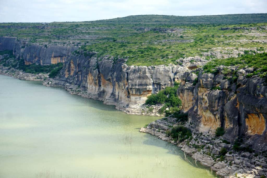
10. Nueces River
The Nueces River is known for its clear waters
©Rocknross52 / Creative Commons – License
| Nueces River | Details |
|---|---|
| Length | 315 Miles |
| Ending Point | Gulf of Mexico |
The Nueces River is 315 miles long, starting in the Edwards Plateau region of Texas, north-west of San Antonio. The river flows southeast until it drains into the Gulf of Mexico. In Spanish, “nueces” means “nuts.” Spanish settlers chose this name because there were many pecan trees growing along the riverbanks.
The upper portion of the river is cool, clear, and sparkling. The Nueces River is a popular location for tubing, kayaking, camping, fishing, watching wildlife, and swimming. Many visitors enjoy taking vacations at the various resorts along its banks.
9. Neches River
The river’s name means “wood of the bow”
©IVAN KUZKIN/Shutterstock.com
| Neches River | Details |
|---|---|
| Length | 416 Miles |
| Ending Point | Sabine River |
The Neches River is 416 miles long, starting in the eastern region of Texas. The river flows through Big Thicket National Preserve until it meets up with the Sabine River. The two rivers then flow together into Sabine Lake. The lower 40 miles of the Neches River was industrialized into a major shipping channel with cities and towns.
The rest of the Neches River remains generally untouched and untamed (other than a few man-made reservoirs). 11 miles of the upper portion of the river flows through Beaches River National Wildlife Refuge. This is a protected area with biologically diverse bottomland and hardwood forests, as well as habitats for migratory birds.
8. Sabine River
The Sabine River acts as part of the boundary between Texas and Louisiana
©Lewis Directed Films/Shutterstock.com
| Sabine River | Details |
|---|---|
| Length | 510 Miles |
| Ending Point | Sabine Lake/Gulf of Mexico |
The Sabine River is 510 miles long, beginning its journey in the northeastern region of Texas where three rivers—the Caddo Fork, the South Fork, and the Cowleech Fork—merge together. The river flows south-east and merges with Lake Fork Creek. Next it continues south, forming a natural boundary between Texas and Louisiana. The river then flows into Sabine Lake and eventually empties into the Gulf of Mexico.
The Sabine River has a very diverse landscape. The upper sections of the river flow through the prairie country of north-eastern Texas. The lower sections of the river flow along the pine forests of the Texas-Louisiana border, then through bayou country near the Gulf Coast.
7. Trinity River
The river was named “La Santísima Trinidad” or “The Most Holy Trinity,” by Spanish explorers in 1690
©iStock.com/33ft
| Trinity River | Details |
|---|---|
| Length | 710 Miles |
| Ending Point | Trinity Bay |
The Trinity River is 710 miles long. It empties into Trinity Bay, which feeds into Galveston Bay and eventually into the Gulf of Mexico. Four smaller rivers coming together to create the Trinity River: the Elm Fork, the West Fork, the East Fork, and the Clear Fork. There was a great deal of flooding from the Trinity River in the city of Dallas, Texas. Because of this, the city built levees. Today the Dallas Floodway Extension Project and the Trinity River Project plan to extend two of those existing levees and raise two more.
The Trinity River Project began work in the 2000’s in Dallas, Texas. The project’s goal is to redevelop the Trinity River and turn the river path into a collection of sports fields, trails, nature centers, and other recreational opportunities.
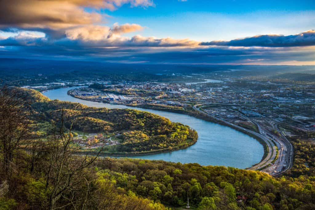
6. Colorado River
While confusing, the Colorado River in Texas doesn’t leave the state
©Roschetzky Photography/Shutterstock.com
| Colorado River | Details |
|---|---|
| Length | 862 Miles |
| Ending Point | Matagorda Bay |
The Colorado River in Texas is not the same Colorado River that runs through the Grand Canyon. The “Texas” Colorado River is 862 miles long. It is the longest river in Texas that is contained entirely within the borders of Texas. It begins in the Llano Estacado region in Texas and ends in Matagorda Bay in the Gulf of Mexico. The Colorado River was named for its reddish water. In Spanish, “Colorado” means “red colored” or “reddish”. The Colorado River is an important source of water for cities, farming, and producing electrical power.
5. Canadian River
The Canadian River’s name origin is a mystery
©marekuliasz/Shutterstock.com
| Canadian River | Details |
|---|---|
| Length | 906 Miles |
| Ending Point | Arkansas River |
The Canadian River is 906 miles long and begins in the U.S. state of Colorado. It moves through the U.S. states of New Mexico, Texas, and Oklahoma, until it flows into the Arkansas River. Early European explorers and settlers described the Canadian River as dangerous, usually involving quicksand and death. Today the river is smaller and slower, with many areas for recreational off-roading, hiking, and hunting.
The Canadian River is not in Canada, so where did its name come from? Some say that it was named by French traders from Canada on a hunting expedition along its banks. Others claim that its name originates from Spanish explorers. The Spanish word cañada means “glen” and this river flows through many valleys and glens.
4. Pecos River
The Pecos River is a popular location for many recreational activities
©iStock.com/Wanda Jewell
| Pecos River | Details |
|---|---|
| Length | 926 Miles |
| Ending Point | Rio Grande River |
The Pecos River is 926 miles long, flowing through granite canyons, waterfalls, and high-mountain meadows. It begins in the Sangre de Cristo Mountains in New Mexico and eventually feeds into the Rio Grande River. 20.5 miles of the Pecos River are protected as a “National Wild and Scenic River.” A cool, forested environment surrounds the Pecos River. This makes it a popular destination for its scenery, fly-fishing, hunting, camping, fishing, hiking, and backpacking.
The Pecos River is also famous in American Frontier folklore. The phrase “West of the Pecos” was used in the 19th century to describe the harshness of the Wild West.
3. Brazos River
Brazos River’s name is Spanish for “the arms of God”
©davisdeatonphotography/Shutterstock.com
| Brazos River | Details |
|---|---|
| Length | 1,280 Miles |
| Ending Point | Gulf of Mexico |
The Brazos River is 1,280 miles long. It begins in New Mexico and flows through the center of Texas before it empties into the Gulf of Mexico. The Brazos River divides the state of Texas into two halves. It is sometimes used to mark the border between East Texas and West Texas. The Brazos River is an important source of water for agriculture in Texas. There are three dams are built in the Brazos River, creating three lakes: Lake Whitney, Lake Granbury, and Possum Kingdom Lake.
The Brazos River is also a popular tourist destination. Visitors here enjoy sandbar camping, picnicking, fishing, canoeing, and boating. Three major Texas universities are located in the Brazos River Basin: Texas Tech University, Baylor University, and Texas A&M University.
2. Red River of the South
The Red River is named for the red color of its water, and is a saltwater river in Texas
©Bob Pool/Shutterstock.com
| Red River of the South | Details |
|---|---|
| Length | 1,360 Miles |
| Ending Point | Atchafalaya River |
The Red River of the South is the second largest river in Texas, flowing for 1,360 miles. The Red River is named for the red color of its water. As it flows it passes through “red beds” (sedimentary rocks that are red in color due to the presence of ferric oxides). This adds a reddish color to the water.
The Red River of the South is also unique because it is a salty river, even though it does not come from the ocean. About 250 million years ago an inland sea covered this area, leaving behind salt deposits. Today the salt leaches out into the Red River and makes its water salty.
1. Rio Grande
The Rio Grande is a famous crossing between the U.S. and Mexico
©iStock.com/Greg Meland
| Rio Grande River | Details |
|---|---|
| Length | 1,896 Miles |
| Ending Point | Gulf of Mexico |
The Rio Grande is the largest river in Texas and the 4th largest river in the United States. It is 1,896 miles long and begins in south-central Colorado. It then flows southeast through New Mexico and Texas until it empties into the Gulf of Mexico. Within Texas, the Rio Grande forms the national border between the United States and Mexico.
The Rio Grande supplies water to agricultural regions. In fact, only 20% of the river’s water makes it to the Gulf of Mexico. The Rio Grande is designated as an American Heritage River. Two portions of the Rio Grande are preserved as a “National Wild and Scenic Rivers System.”
Summary of the 12 Longest Rivers in Texas
| Name of River | Length in Miles | End Point | Special Feature | |
|---|---|---|---|---|
| 1 | Rio Grande | 1896 | Gulf of Mexico | American Heritage River, 2 areas preserved as National Wild and Scenic River System; forms part of border between TX and Mexico |
| 2 | Red River (of the South) | 1360 | Atchafalaya River | Forms part of the border with Oklahoma; reddish water |
| 3 | Brazos | 1280 | Gulf of Mexico | 3 dams on it; popular for tourism; divides Texas into east and west halves |
| 4 | Pecos | 926 | Rio Grande River | 20.5 miles are part of the National Wild and Scenic River System |
| 5 | Canadian | 906 | Arkansas River | Runs through 3 states |
| 6 | Colorado | 862 | Matagorda Bay – Gulf of Mexico | Entirely within the border of Texas; reddish water |
| 7 | Trinity | 710 | Trinity Bay – Galveston Bay – Gulf of Mexico | Made from merger of 4 smaller rivers |
| 8 | Sabine | 510 | Sabine Lake – Gulf of Mexico | Made from merger of 3 smaller rivers; serves as the border between TX and Louisiana |
| 9 | Neches | 416 | Sabine River | Runs through Big Thicket Preserve and Beaches River National Wildlife Refuge |
| 10 | Nueces | 315 | Gulf of Mexico | Nueces is Spanish for nuts because of the pecan trees along the river |
| 11 | San Antonio | 240 | Guadalupe River | Runs through heart of San Antonio and famous River Walk; several historic Spanish missions on its bank, including the Alamo |
| 12 | Guadalupe | 230 | San Antonio Bay – Gulf of Mexico | Named after Our Lady of Guadalupe in Mexico |
The photo featured at the top of this post is © davisdeatonphotography/Shutterstock.com
How to Add Us to Google News


FAQs (Frequently Asked Questions)
What is the longest river in Texas?
The longest river in Texas is the Rio Grande River, it measures 1,896 miles from its headwaters and forms the boundary between the United States and Mexico.
What is the longest river that's only in the state of Texas?
The longest river that’s only within the borders of Texas is the Colorado River. That might sound funny considering Colorado is a nearby state, but the word “Colorado” means red-colored, so it is used for multiple rivers in the United States.
Thank you for reading! Have some feedback for us? Contact the AZ Animals editorial team.