
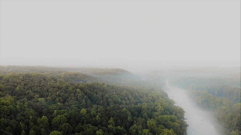
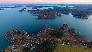
The state of Georgia is blessed with a diverse collection of lakes, encompassing both natural wonders and man-made reservoirs. The precise number can be subjective, as the distinction between a “lake,” a pond, or a reservoir may vary. Visualize these lakes in Georgia as celestial stars dotting the night sky. Just as each star boasts its distinctive qualities, each lake bears its charm and character. Some shimmer magnificently, teeming with recreational possibilities. Others offer a more tranquil and intimate experience, captivating in their understated way.
How Do We Determine the Depth of a Lake?
There are multiple techniques available for determining the depth of a lake.
©Focused Adventures/Shutterstock.com
Determining the depth of a lake is comparable to assessing the height of a tree, except with a twist — we direct our gaze downwards instead of upwards. There are numerous techniques available for measuring lake depth, but let’s delve into a few of the most prevalent methods using relatable analogies.
Echo Sounding (Sonar)
Picture yourself in a dimly lit room. As you clap your hands, the sound waves traverse until they encounter a wall and rebound back to you. By precisely timing the sound’s return, you can gauge the distance to the wall. Similarly, a device emits a sound wave downward into the water. When this wave collides with the lake’s bed, it rebounds, unveiling the water’s depth through the duration it takes for the echoes to reach us.
Lead-Line Method
Imagine this as the “fishing line” method: a marked rope or cable with a weight attached is lowered into the water until it reaches the seabed. By observing the rope markings when the rope becomes taut, scientists can accurately measure the depth at that precise spot. This technique is akin to dropping a tape measure from a tall balcony to the ground and extending it tightly to determine the distance.
Satellite and Aerial Imaging
Imagine you have a superpower that allows you to see through the layers of a cake to estimate how many layers there are. In a somewhat similar manner, certain types of aerial or satellite imaging can help estimate water depths by analyzing how light interacts with the water.
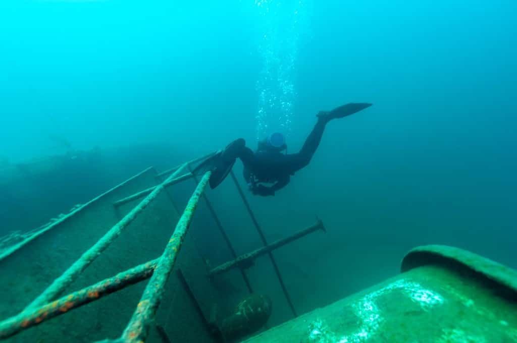
Diving and Manual Measurement
This is the “old-school” method, akin to wading into a pool with a yardstick. A diver goes down with a measuring device and directly measures the depth. This is usually only practical for shallower bodies of water.
Each method has its unique advantages and disadvantages, depending on factors like lake size, desired precision, water clarity, and composition of the lakebed. Often, combining these methods yields the most precise measurements.
The Four Methods Of Measuring Lake Depth
| Method | Analogy | Pros | Cons |
|---|---|---|---|
| 1. Echo Sounding (Sonar) | Using sound waves as a means to estimate the distance to the bottom of the water. | Rapid and highly efficient, capable of covering vast expanses with ease. | The device may be compromised in shallow or muddy water, as it can be influenced by marine life or other submerged objects. |
| 2. Lead-Line Method | Using a weighted fishing line to gauge the depth of a body of water. | Versatile and cost-effective, this solution is suitable for both shallow and muddy water conditions. | Sluggish and laborious, with lower accuracy compared to alternative approaches. |
| 3. Satellite and Aerial Imaging | Using a unique ability to peer through the intricate layers of a cake, one can estimate the precise number of delectable tiers it possesses. | This versatile tool enables swift and efficient coverage of vast areas, while also delivering valuable insights into water quality and various other factors. | Although weather conditions can have an impact, it is worth noting that this method tends to be less accurate compared to others. |
| 4. Diving and Manual Measurement | Stepping cautiously into the pool, armed with a trusty yardstick to gauge its depth. | This method provides utmost precision and versatility in determining the depth of any body of water, making it the ideal choice for measurement. | Although it may be a bit time-consuming, this method is more suitable for relatively shallow bodies of water. |
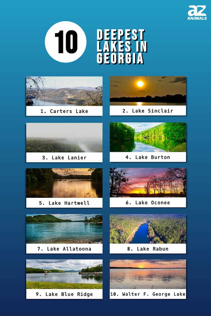
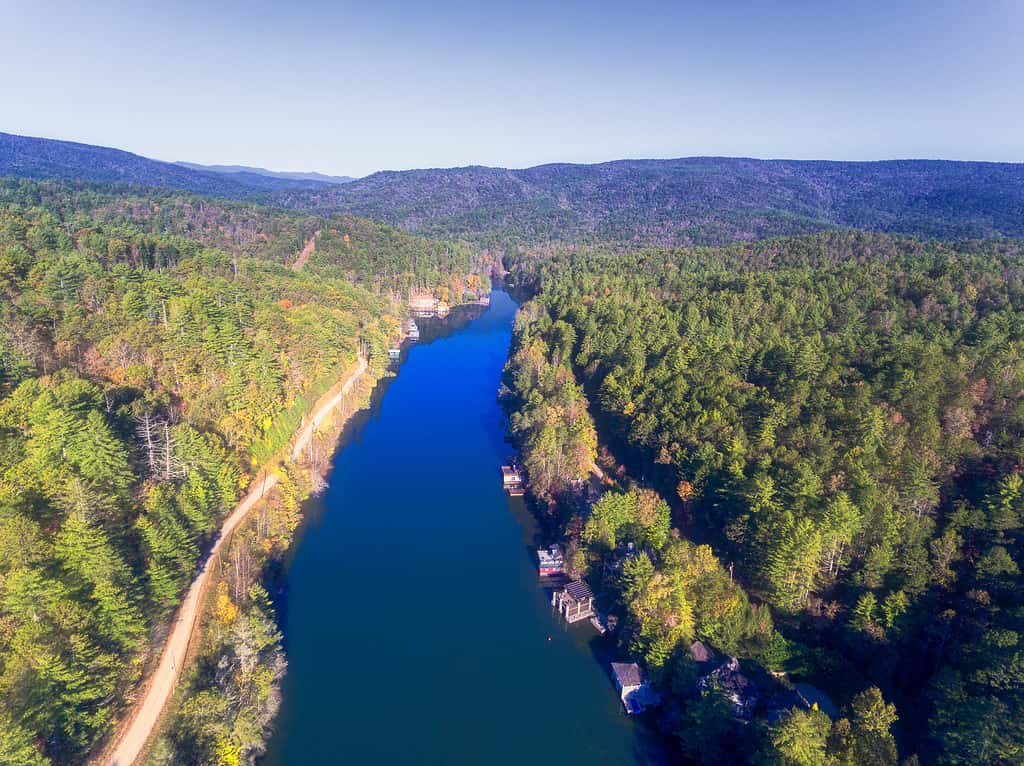
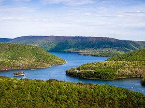
Some of the Deepest Lakes in Georgia
Some of the deepest lakes in Georgia are popular for fishing and boating, in addition to the stunning scenery surrounding them. And let’s not overlook the mesmerizing wildlife — from elegant birds to tranquil reptiles, these watery sanctuaries offer a haven to numerous species. Let’s explore and admire the deepest of Georgia lakes!
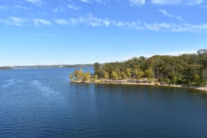
1. Carters Lake (450 feet)
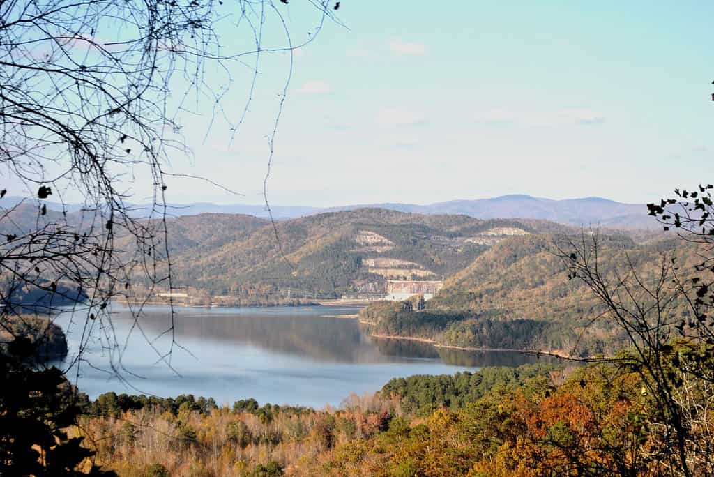
The remarkable clarity of Carters Lake allows you to witness fish gracefully gliding beneath the surface.
©Brittany Hollier/Shutterstock.com
Located in the Blue Ridge Mountains of Georgia, Carters Lake is a stunning man-made reservoir on the Coosawattee River. Carters Lake is popular for its crystal-clear water, creating an idyllic environment for swimming, boating, and fishing. In addition, its lush forests, offer a picturesque backdrop for water activities and provide a thriving habitat for diverse wildlife.
With a maximum depth of 450 feet, it proudly claims the title of the state’s deepest lake. Spanning across 5 square miles, this picturesque lake boasts 62 miles of pristine, undeveloped shoreline. It serves as a beloved haven for outdoor enthusiasts seeking an array of recreational activities like fishing, boating, camping, picnicking, and hiking. Amidst its natural beauty, Carters Lake also attracts a diverse range of wildlife, including graceful birds, deer, and quick-footed foxes.
2. Lake Sinclair (240 feet)
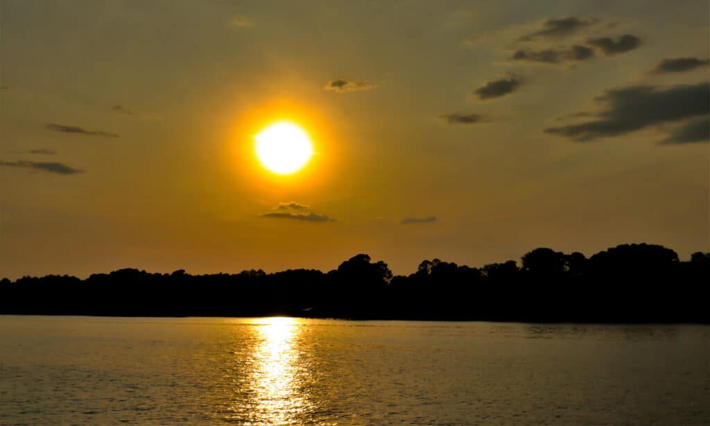
Lake Sinclair is home to national fishing tournaments and a diverse population of wildlife
©iStock.com/Ed Williams
Situated in the central region of Georgia, Lake Sinclair is a reservoir on the Oconee River. It came into existence in 1953. The Georgia Power Company harnessed the river’s flow to establish a hydroelectric generating station. Originally, the Muscogee Creek people of the Cherokee Native American tribe inhabited the area. They bestowed the name “Oconee River” using a Cherokee term meaning “water eyes of the hills.”
The Georgia Power Company embarked on studying the hydroelectric potential of the Oconee River in the early 1900s. Despite setbacks caused by the Great Depression and World War II, the construction of the Sinclair Dam commenced in 1949 and concluded in 1953. Presently, Lake Sinclair is among Georgia’s most sought-after lakes. It fosters a rich diversity of fish species such as largemouth bass, striped bass, and catfish. Boating, swimming, camping, and various outdoor activities further contribute to its popularity.
3. Lake Lanier (221 feet)
Lake Lanier serves as a multifaceted marvel, meticulously designed for flood control, water supply, hydroelectric power generation, and unparalleled recreation.
©Austin Handle/Shutterstock.com
A man-made reservoir in the U.S. state of Georgia, Lake Lanier is in the foothills of the Blue Ridge Mountains northeast of Atlanta. Masterfully crafted in 1956 by the U.S. Army Corps of Engineers through the construction of Buford Dam on the Chattahoochee River, this remarkable lake is named after Sidney Lanier, a Georgia poet and Confederate soldier. As one of the Southeast’s most sought-after destinations, it draws a staggering 10 million visitors annually. With its renowned fishing, boating, swimming, and camping opportunities, Lake Lanier epitomizes a haven for outdoor enthusiasts.
4. Lake Burton (178 feet)
©Tara Ballard/Shutterstock.com
Nestled in the breathtaking Blue Ridge Mountains of northeast Georgia, Lake Burton is a mesmerizing reservoir that captivates visitors with its undeniable charm. Constructed in 1919 with the creation of Burton Dam on the Tallulah River, this man-made lake has pristine, crystal-clear waters, awe-inspiring natural beauty, and a thriving ecosystem. With a rich history intertwined with the Georgia Power Company, Lake Burton has played a significant role in hydroelectric power generation. Today, it has evolved into a beloved destination for fishing, boating, and swimming, offering an idyllic setting for outdoor enthusiasts. Adventure seekers can indulge in a variety of outdoor activities at Moccasin Creek State Park, from camping and hiking to fishing, immersing themselves in the tranquility and natural splendor that surrounds this extraordinary locale.
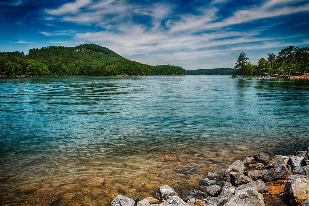
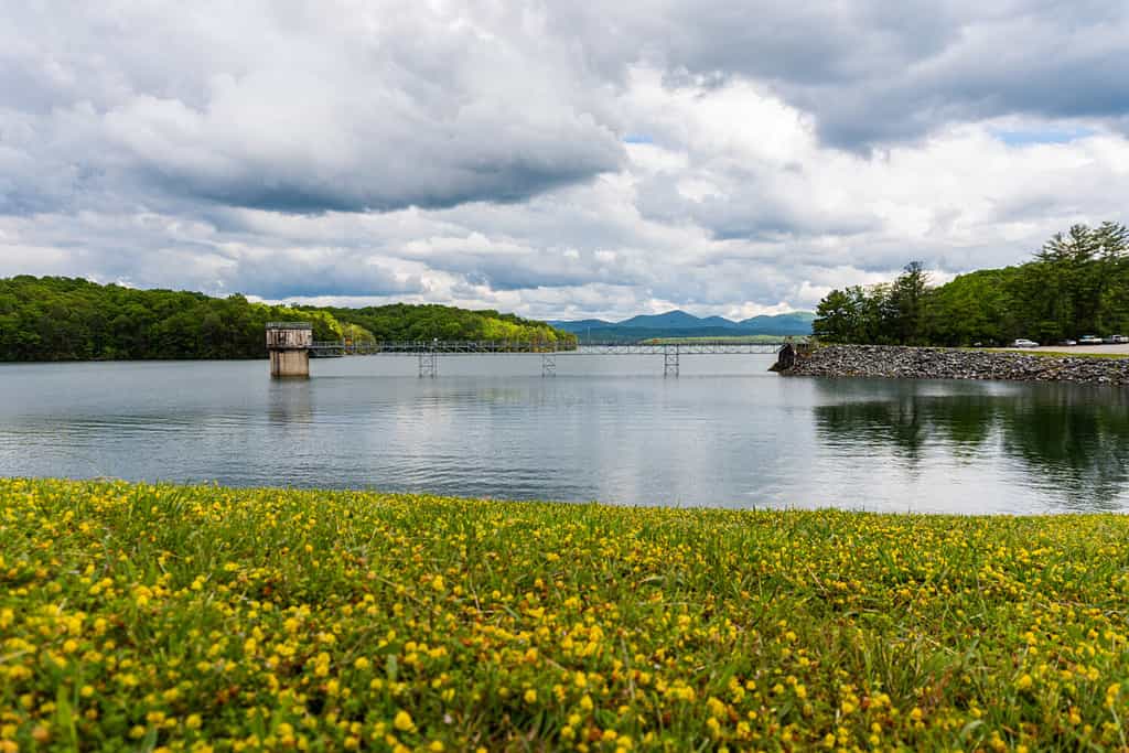
5. Lake Hartwell (170 feet)

Boasting a 962-mile shoreline Lake Hartwell is a highly popular and vast lake in Georgia.
©iStock.com/Ashley Strickland Photography
Lake Hartwell is a notable man-made reservoir situated on the Savannah River, marking the boundary between Georgia and South Carolina. Constructed in 1962, this lake holds historical significance. It is named after Nancy Hart, an eminent Revolutionary War heroine of the region. Apart from its picturesque allure and abundant wildlife, Lake Hartwell offers a wealth of recreational opportunities. The legacy of Lake Hartwell remains intertwined with the Native Americans who inhabited the region for centuries before European settlement. Primarily, the Cherokees and Creeks thrived in this area, but their lives were disrupted and displaced during the Trail of Tears and subsequent assimilation into white society. With the advent of white American settlement in the late 1800s, the land surrounding Lake Hartwell underwent agricultural and forestry development.
6. Lake Oconee (169 feet)
The Georgia Power Company developed the Oconee River in the 1900s and created Lake Oconee.
©iStock.com/Lora Benz
Lake Oconee, situated in central Georgia, is an impressive man-made reservoir. It was constructed in 1979 through the development of Wallace Dam on the Oconee River. This renowned body of water derives its name from the Oconee people, an indigenous tribe that thrived in the region before European settlement. Tracing back its history, Lake Oconee’s roots are closely intertwined with the Oconee people. Unfortunately, they had to leave their ancestral lands during the devastating Trail of Tears in the 1830s.
Later on, white Americans in the late 1800s colonized the territory and cultivated the land for agriculture and forestry. Subsequently, in the early 1900s, the Georgia Power Company commenced the development of the Oconee River for hydroelectric power generation, culminating in the erection of Wallace Dam in 1979 and the formation of Lake Oconee. The lake rapidly gained popularity as a prominent destination for fishing, boating, swimming, and golf.
7. Lake Allatoona (168 feet)
The construction of Allatoona Dam has resulted in the creation of this remarkable reservoir.
©Rob Hainer/Shutterstock.com
Lake Allatoona is a man-made reservoir on the Etowah River in northwest Georgia. Constructed in 1949 by the U.S. Army Corps of Engineers, Allatoona Dam brought this stunning reservoir into existence. The history of Lake Allatoona is deeply intertwined with the Cherokee people who called this region home for centuries. The name “Allatoona” originates from the Cherokee word meaning “good place to live”.
Renowned for its breathtaking scenery, diverse wildlife, and vast recreational opportunities, Lake Allatoona has an array of fish species, including largemouth bass, smallmouth bass, catfish, and crappie. Today, Lake Allatoona is a popular destination for fishing, swimming, boating, camping, and picnicking. With its crystal clear waters and calming beauty, visitors are sure to have an unforgettable experience. The lake also offers incredible educational opportunities for people of all ages.
8. Lake Rabun (165 feet)
Lake Rabun is a man-made reservoir nestled in the enchanting Blue Ridge Mountains of northeast Georgia.
©PaulDaniel5010/Shutterstock.com
Constructed in 1926, this idyllic lake has crystal-clear waters teeming with diverse wildlife. Presently, this beloved locale continues to enchant visitors with its myriad of outdoor pursuits. Pursuits range from angling and sailing to swimming and avian observation. As an invaluable natural gem, Lake Rabun serves as a crucial habitat for wildlife. It presents boundless recreational possibilities and holds a pivotal position in the local economy.
The rich history of Lake Rabun intertwines with the heritage of the Cherokee people, who resided here for centuries until the tragic Trail of Tears. The Trail of Tears events forced the Cherokee people’s displacement in the 1830s. The name “Rabun” originates from the Cherokee word meaning “river of many falls,” paying homage to the lake’s captivating natural beauty.
9. Lake Blue Ridge (140 feet)
Situated in Fannin County, Blue Ridge Lake stands as a reservoir on the majestic Toccoa River.
©KevinYOLO/Shutterstock.com
A renowned hub for fishing, boating, swimming, and camping, Lake Blue Ridge draws in countless outdoor enthusiasts. Venture onto its tranquil waters, and you’ll encounter a varied wildlife wonderland, from trout and bass to crappie and waterfowl. The roots of Blue Ridge Lake can be traced back to the early 1900s when the Toccoa Electric Power Company undertook the task of harnessing hydroelectric power. The construction of Blue Ridge Dam in 1930 predetermined the formation of this breathtaking lake. Nestled in the foothills of the Blue Ridge Mountains, it boasts a scenic backdrop of lush forests and imposing peaks. Blue Ridge Lake delivers a multitude of recreational opportunities and proudly houses historic landmarks, including the revered Blue Ridge Scenic Railway and the esteemed Fort Mountain State Park.
10. Walter F. George Lake or Lake Eufaula (135 feet)
Walter F. George Lake harbors a diverse ecosystem, with majestic largemouth bass, catfish, crappie, and waterfowl gracing its waters.
©Ben109/Shutterstock.com
Also known as Lake Eufaula, Walter F. George Lake is a sprawling reservoir along the Chattahoochee River that spans across Georgia, Alabama, and Florida. Rooted in history, Lake Eufaula’s story stretches back to the early 1800s, when the area was inhabited by the Creek Indians. Sadly, the Creeks were forcibly displaced during the heartrending Trail of Tears in the 1830s. Later in the 1950s, the U.S. Army Corps of Engineers fashioned the Walter F. George Lock and Dam on the Chattahoochee River, ushering the birth of the majestic Lake Eufaula. As a nod to its very roots, the lake bears the name of the Creek Indian town that once thrived graciously on its grounds before the Trail of Tears.
Summary of the 10 Deepest Lakes in Georgia
| Lake | Depth (feet) | Depth (meters) | |
|---|---|---|---|
| 1 | Carters Lake | 450 | 137.16 |
| 2 | Lake Sinclair | 240 | 73.15 |
| 3 | Lake Lanier | 221 | 67.36 |
| 4 | Lake Burton | 178 | 54.27 |
| 5 | Lake Hartwell | 170 | 52.12 |
| 6 | Lake Oconee | 169 | 51.51 |
| 7 | Lake Allatoona | 168 | 51.21 |
| 8 | Lake Rabun | 165 | 50.29 |
| 9 | Lake Blue Ridge | 140 | 42.67 |
| 10 | Walter F. George Lake (Lake Eufaula) | 135 | 41.15 |
The photo featured at the top of this post is © Ashley Strickland Photography/iStock via Getty Images

How to Add Us to Google News


Thank you for reading! Have some feedback for us? Contact the AZ Animals editorial team.