
The Mississippi River is one of the largest rivers in the United States. Stretching over 2,000 miles long and draining parts of 32 states, this river is a significant source of water, power, transportation, and more. Most Americans know that this river ends outside of New Orleans before flowing into the Gulf of Mexico. However, that’s not on the path the river is supposed to be on. Let’s take a look at where the Mississippi River should really end.
Where the Mississippi River Begins and Ends
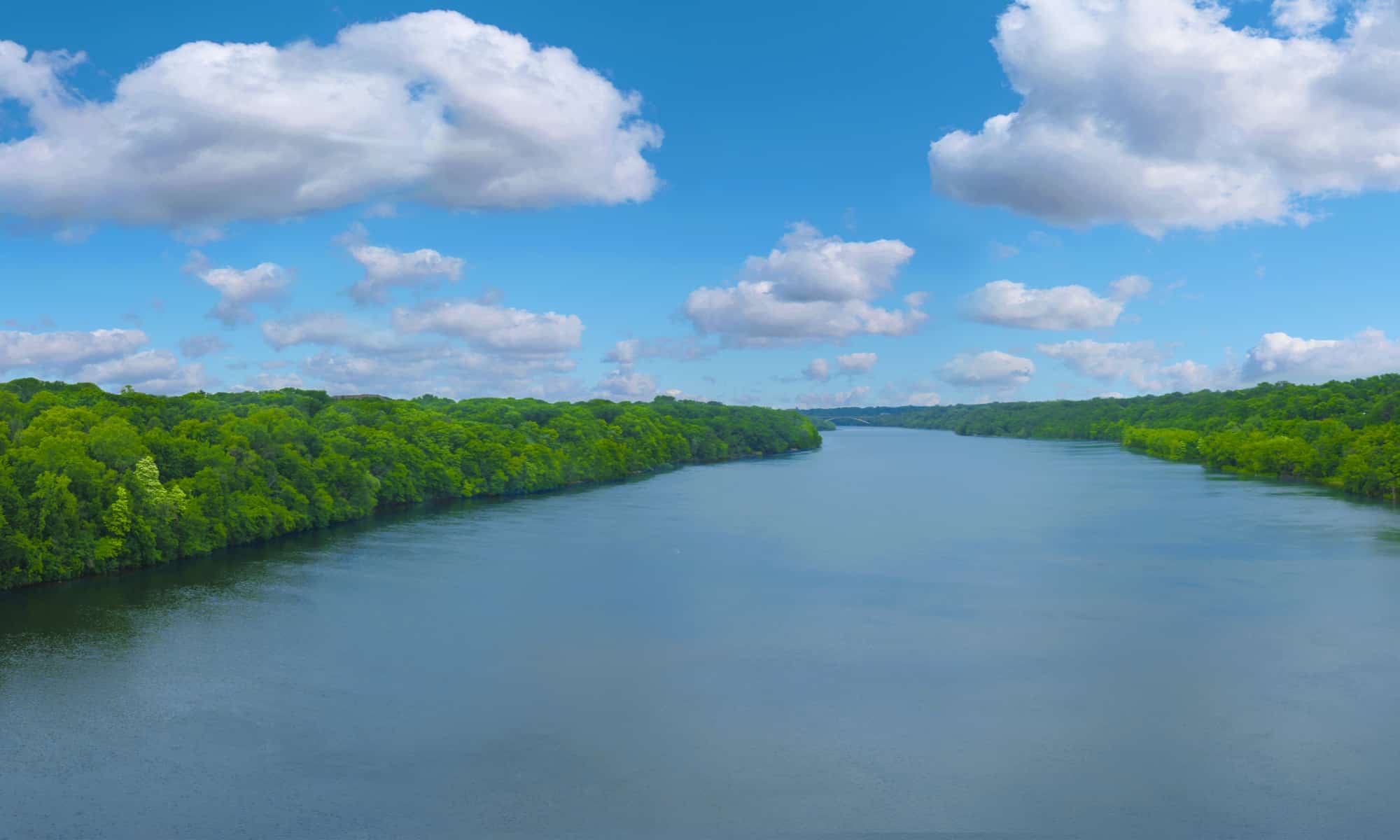
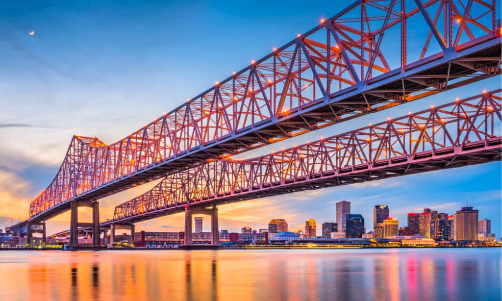
The Mississippi River flows through New Orleans and into the Gulf of Mexico.
©Kevin Ruck/Shutterstock.com
The Mississippi River begins in Lake Itasca. The headwaters are found in Itasca State Park in Minnesota, some 2,340 miles from the river’s mouth. From there, the Mississippi River flows south, passing through ten states on its way to Louisiana.
Along the way, the Mississippi River receives water from major tributaries, including the Missouri River and the Ohio River. Interestingly, the Missouri River is about 100 miles longer than the Mississippi River, and the Ohio River contributes a great deal to the Lower Mississippi River’s discharge rate.
The river continues to flow into Louisiana, where it encounters many water control systems, including levees and the Old River Control Complex (also known as the Old River Control Structure). The latter is a floodgate system that controls the amount of water that flows from the Mississippi River into the Atchafalaya River. This complex essentially prevents the course of the river from changing. Also, it contains a hydroelectric station.
Once the river is past the Old River Control Complex, it flows through the western portion of Baton Rouge. Next, it goes through the southern part of New Orleans and out into the Gulf of Mexico. That is how the river flows now, but that is not where the river “wants” to end.
In other words, if the flow of the Mississippi River was left to its own devices, it would not follow this path at all.
Where the River Should Really End
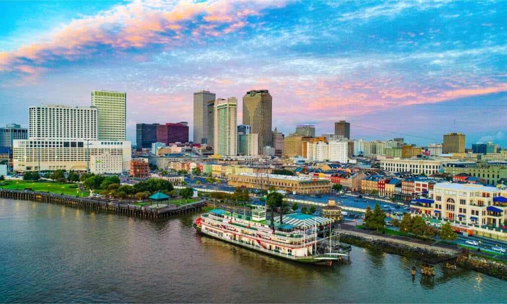
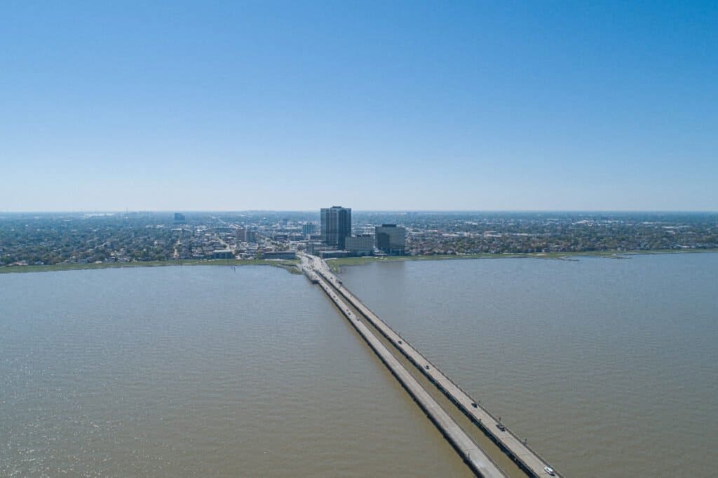
Atchafalaya River was supposed to be the endpoint of the Mississippi River.
©iStock.com/Sean Gardner
The Mississippi River should really end in the Atchafalaya River. From there, it should flow westward in Louisiana and reach the Gulf of Mexico after passing south of Morgan City. However, that would leave Baton Rouge and New Orleans without their largest source of fresh water and ruin their economies.
Fortunately, the Old River Control Complex, in conjunction with the Morganza Spillway and various levees, keeps the main channel of the Mississippi River flowing on its current route.
The Mississippi River did not always flow on its current path, though. Rivers naturally change course over time, and the Mississippi is no exception. In fact, if you look at an older map of the Mississippi River, you would see that the body of water flows somewhat differently compared to today.
As meandering (curving) rivers change directions around their curves, the flow of water erodes the outside banks. Also, such a flow allows for sediment deposits to form on the inside, where the water is moving slower relative to the outside.
Over time, this alters the path of the river where sediment obstructs the main channel, and the water flows into a newer, more direct path. Meanders separated from their channels become oxbow lakes. The process begins again once the new channel is established.
What’s Stopping the Mississippi River from Changing Course?
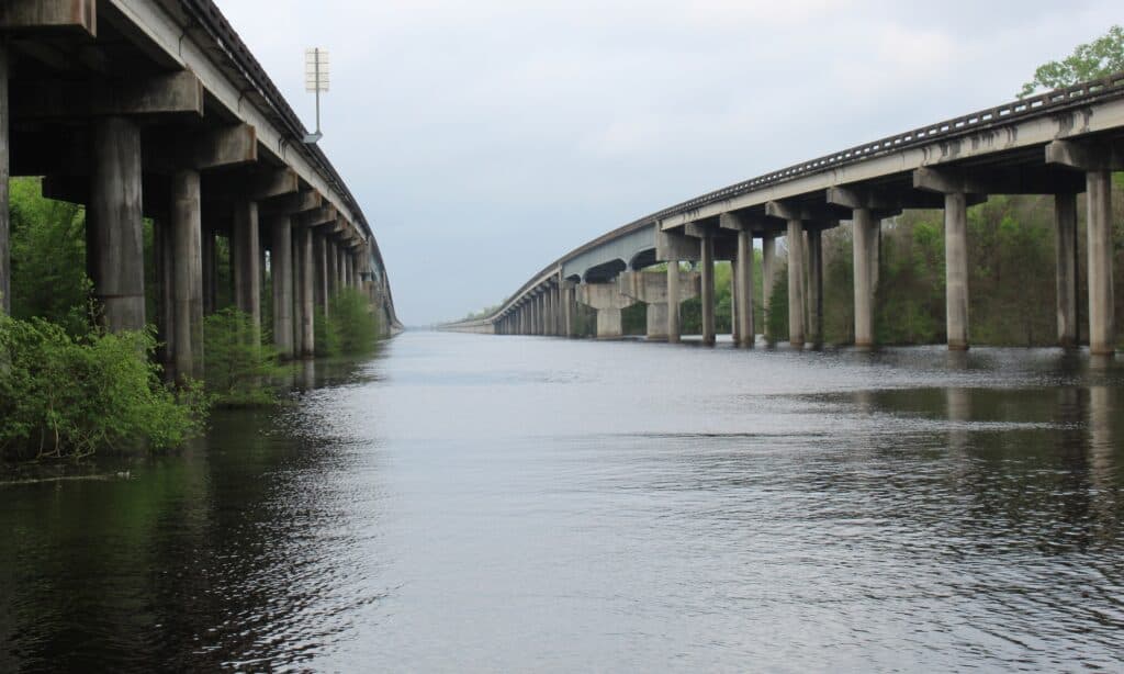
The Mississippi River is being held in its channel by a series of water control measures.
©Sean Pavone/Shutterstock.com
The Old River Control Structure was constructed in 1963 after the U.S. Army Corps of Engineers determined that the river could change course before the century was out. The amount of water flowing from the Mississippi River into the Atchafalaya River was rapidly increasing.
The U.S. Army Corps of Engineers believed that the river would quickly change channels and leave Baton Rouge and New Orleans in dire straits.
The modern Old River Control Complex and other water control measures limit the amount of water that flows into the Atchafalaya River. Moreover, the control mechanisms are designed to handle massive amounts of floodwater that could cause a sudden and very dramatic shift in the river’s direction.
Although these methods have held up so far, they may not do so in the future.
Could the River Change Course in the Future?
The river could potentially flow into Lake Pontchartrain.
©Mark Runde/Shutterstock.com
The Mississippi River could change course in the future. In fact, it nearly did change course in 1973. Severe floods almost overwhelmed and destroyed the Old River Control Structure. Had that occurred, the river could have changed course right then.
Another major flood in 2011 when threatened the integrity of the water control systems on the Lower Mississippi River. Fortunately, the systems worked as planned and prevented the worst-case scenario from happening. Still, the damage caused by those floods was massive.
Some geologists are convinced that the right set of circumstances could still overwhelm the entire Old River Control Complex. If a massive flood hits the area, the kind that happens every few centuries, the river could push into the Atchafalaya Basin or even Lake Pontchartrain!
What Would Happen if the Mississippi River Changed Course?
New Orleans would suffer from the river changing course.
©iStock.com/ablokhin
If the water flowed where the Mississippi River should really end, the consequences would be dire. Hypothetically, if enough of the water from the Mississippi River was captured in other sources, it could devastate valuable ports, like the Port of New Orleans.
The loss of water flow would also make shipping difficult and impact the economy of the area. However, two other concerns exist. First, a saltwater incursion into the Mississippi River’s former main channel would cause a drinking water crisis. Some believe that the water would flow as far north as Baton Rouge. Roughly 1.5-2 million people would need to seek new sources of freshwater.
Secondly, Morgan City could be flooded by the sudden deluge of water rushing into the area. Needless to say, it behooves the U.S. Army Corps of Engineers to control the flow of water.
The Mississippi River should really end in the Atchafalaya Basin, but that would be catastrophic. The cities we have built and the economy in the area are indispensable. The incredible feats of engineering keeping the river in place could preserve the area. However, the worst could come to fruition and the river may change course.