
Arizona, also known as the Grand Canyon state, is the sixth-largest state in the US as well as the 14th most populous. But just how big is it in square miles, acres, and kilometers? Exactly how wide and long is the state in miles? Finally, how does Arizona compare to other US states in size? Read on to find out and learn about the state’s demographics, its many cities and counties and their respective sizes, and more!
How Many Square Miles/Kilometers in Arizona?
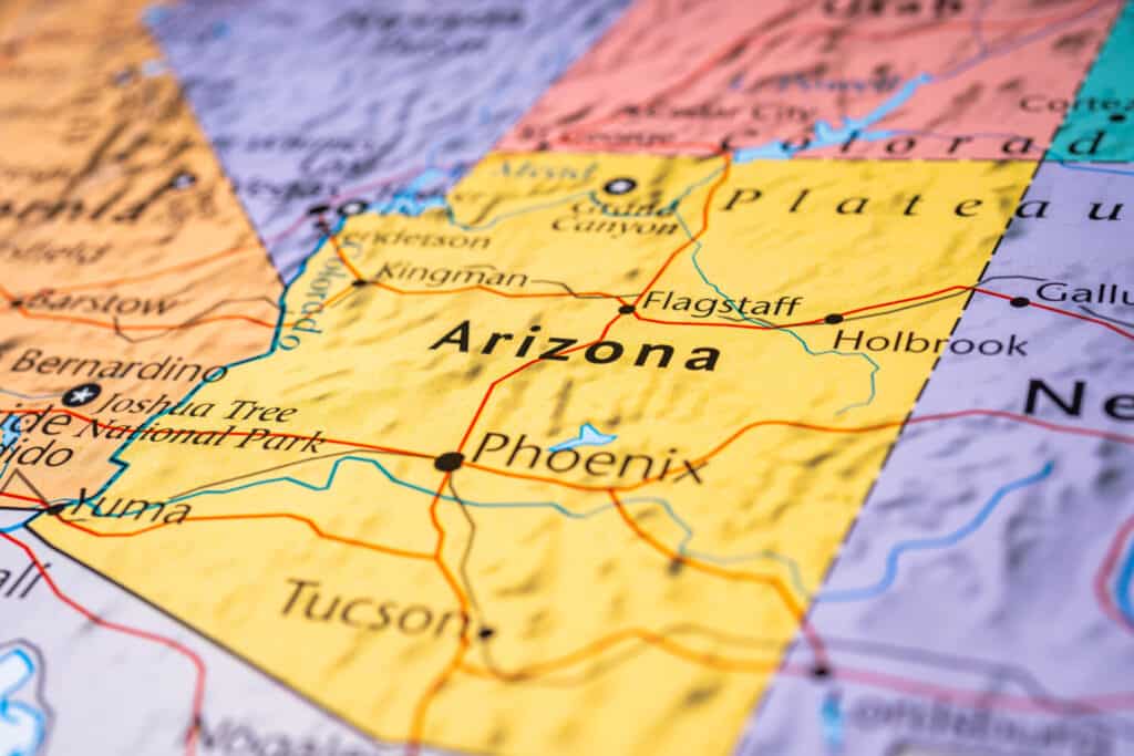
Arizona is one of the United States’ largest states by area, with only five other states outranking it in size.
©Alexander Lukatskiy/Shutterstock.com
In its totality, Arizona is just over 113,990 square miles or approximately 295,234 square kilometers. As we briefly touched on earlier, this makes it the sixth-largest state by area in the United States. Interestingly, the vast majority of this area is land, with only 0.3% being water, meaning Arizona also has the distinction of being the state with the second-lowest percentage of water area in the United States. The state with the lowest percentage, New Mexico, has just 0.2%.
For a bit more perspective, Arizona ranks just behind its neighboring state New Mexico in total area, which is roughly 8,000 square miles/20,000 square kilometers larger at 121,590 square miles or 314,917 square kilometers.
Just behind Arizona in size is Nevada in seventh place overall, which is nearly 110,572 square miles, or 286,380 square kilometers. Arizona and Nevada are similar in size, with Arizona being only around 3,000 square miles larger.
How Many Square Acres is Arizona?
Arizona is approximately 72,953,600 square acres in size. By comparison, the next-largest state, New Mexico, takes up around 77,817,600 square acres. Ranking just below Arizona in size is Nevada, measuring around 70,765,964 square acres.
The largest state in the US, Alaska, takes up a whopping 425,845,760 square acres, making it around six times larger than Arizona. The smallest state, Rhode Island, comes in at just 776,960 square acres.
How Many Miles Wide and Long is Arizona?
Arizona is around 335 miles wide (about 539 kilometers) at its widest from east to west and 390 miles long (about 628 kilometers) from north to south. The states bordering it are California and Nevada to the west, Utah to the north, and New Mexico to the east. It’s also a Four Corners state, which is the only location in the US where four states’ borders meet: Arizona, Utah, Colorado, and New Mexico.
The state’s geographic center is around 55 miles southeast of the city of Prescott in Yavapai County, Arizona’s fourth-most populated county. Additionally, the state has an average elevation of around 4,000 feet or 1,200 meters.
How Big is Arizona Compared to Other U.S. States?
Arizona is larger than 44 out of 50 US states, making it rank sixth overall by area. The five states that outrank Arizona in size are, in ascending order, New Mexico, Montana, California, Texas, and Alaska. As the largest US state, Alaska takes up approximately 665,384 square miles or 1,723,337 square kilometers. This makes Alaska almost six times the size of Arizona.
Texas, in second place, takes up 268,597 square miles; California, in third, takes up about 163,695 square miles; Montana, in fourth, takes up around 147,040 square miles; and finally, New Mexico, in fifth, takes up about 121,590 square miles. As we touched on earlier, just behind Arizona in seventh place overall is Nevada, coming in at 110,571 square miles, or 286,380 square kilometers.
By comparison, the smallest US state, Rhode Island, is only around 1,214 square miles or 3,144 square kilometers in size.
How Many People Live in Arizona? + Population Density
As of 2020, Arizona’s total population was 7,151,502. This makes it the 14th most populated state overall. Just outranking it in 13th place is the state of Washington, which had a population of 7,705,281 as of 2020. In 15th place just below Arizona is Tennessee, with a population of 6,910,840 in 2020.
Arizona has an average population density of about 63 people per square mile or 24 per square kilometer. It ranks 33rd overall. By comparison, the most densely populated state is New Jersey, with around 1,263 people per square mile, or 488 per square kilometer. The least densely populated state is Alaska, with only around one person per square mile overall!
How Many Cities Are in Arizona?
There are 91 total cities and towns in the state of Arizona. Its state capital is Phoenix, which also happens to be the state’s most populous city with a population of 1,608,139 as of the 2020 census.
Other cities that have previously been designated as the state’s capital are Prescott and Tucson. After Arizona was made a US territory in 1863, its first capital was Chino Valley’s Port Whipple. However, in 1864, it was moved to Prescott.
A few years later, in 1867, the Arizona Territorial Legislature voted to change the capital from Prescott to Tucson. Another ten years later, in 1877, the Legislature moved it back to Prescott. Finally, in 1889, Phoenix was declared the territory’s permanent capital, and it remained so in 1912 when Arizona was eventually admitted to the Union. Phoenix has been the state’s capital ever since.
What is Arizona’s Largest City by Area?
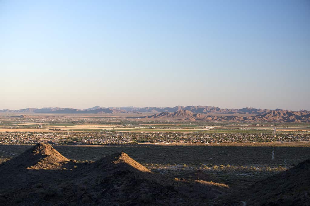
Buckeye is Arizona’s largest city in size by area. Its population has also been on the rise in recent years, with it being the fastest-growing city in the US in 2017, 2018, and 2021.
©algesoft/Shutterstock.com
In terms of total area, Arizona’s largest city is Buckeye, located in Maricopa County in the southwest quadrant of the state. It is 393.16 square miles or around 1,018 square kilometers. The vast majority of this area is made up of land, with only 0.18 square miles (or 0.04%) being made up of water. The city sits at an elevation of 1,076 feet, or 328 meters.
Buckeye is situated around 40 miles west of downtown Phoenix, the state’s capital and most populous city. Buckeye’s population as of the 2020 census was 91,502. In 2017, 2018, and 2021, it was the fastest-growing city in the United States.
What is Arizona’s Most Populous City?

Phoenix, Arizona, is the United States’ most populated state capital.
©Brandon Burris/Shutterstock.com
Arizona’s most populous city is also its capital, Phoenix. Also located in Maricopa County, its population was 1,608,139 as of the 2020 census. Notably, Phoenix is also the most populous state capital in the entire country, ranking ahead of Austin, Texas, in second place, which had a population of 963,121 in 2020. Additionally, Phoenix is the fifth-most populous city in the United States in general.
What Are Arizona’s Largest and Most Populous Counties?
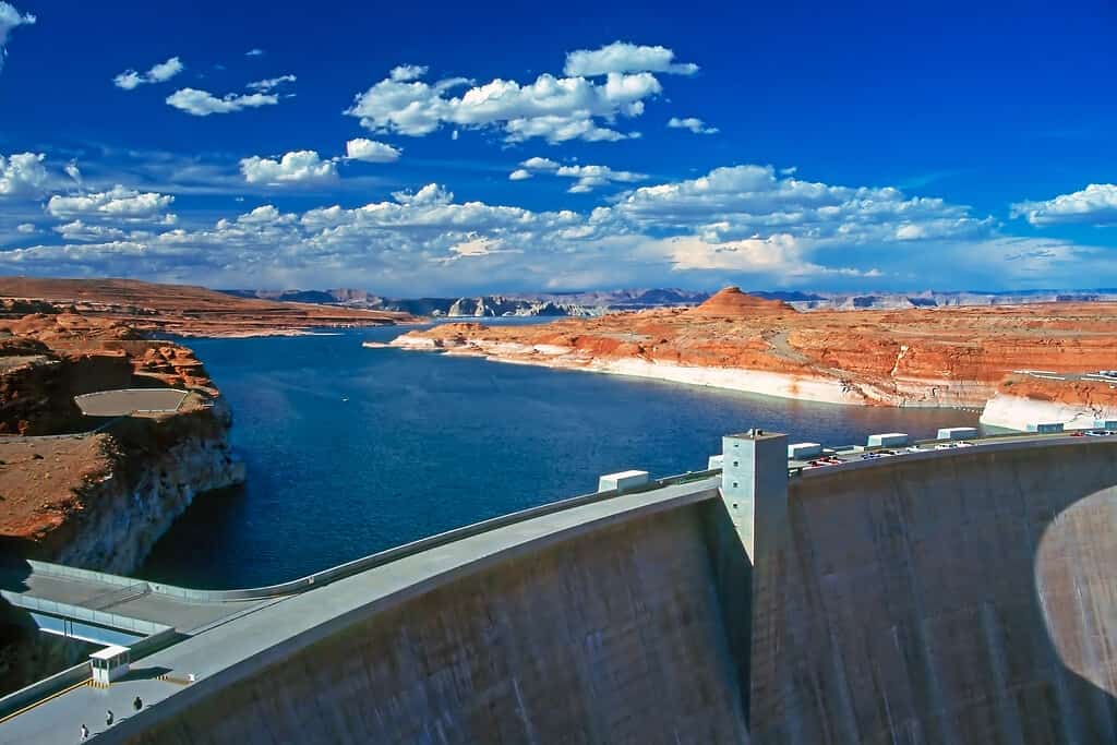
The Glen Canyon Dam is located in Coconino County, Arizona’s largest county by area.
©julof90/iStock via Getty Images
Of the 15 total counties in Arizona, the largest by area is Coconino County, which takes up around half of the state’s northern half. It’s also the second-largest county in the entire United States at around 18,661 square miles or 48,332 square kilometers.
The most populous county in Arizona is Maricopa County, which hosts the state’s capital, Phoenix. Its total population as of the 2020 census was 4,420,568, or around 62% of the state’s total population. It is the fourth-most populous county in the United States, ranking behind Los Angeles County, California, Cook County, Illinois, and Harris County, Texas.
Arizona’s Size and Key Stats At-A-Glance
| Square Miles | 113,990 mi² |
| Square Kilometers | 295,234 km² |
| Square Acres | 72,953,600 |
| Miles Wide, East to West | 335 miles (539 kilometers) |
| Miles Long, North to South | 390 miles (628 kilometers) |
| Largest City (Area) | Buckeye (393.16 mi², 1018 km²) |
| Total Number of Cities | 91 |
| Most Populous City | Phoenix (1,608,139) |
| Largest County (Area) | Coconino County (18,661 mi², 48,332 km²) |
| Total Number of Counties | 15 |
| Most Populous County | Maricopa County (4,420,568) |
| State Capital | Phoenix |
| State Population | 7,151,502 |
The photo featured at the top of this post is © Alexander Lukatskiy/Shutterstock.com


How to Add Us to Google News


Thank you for reading! Have some feedback for us? Contact the AZ Animals editorial team.