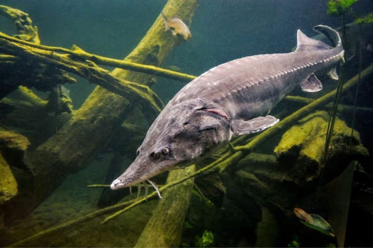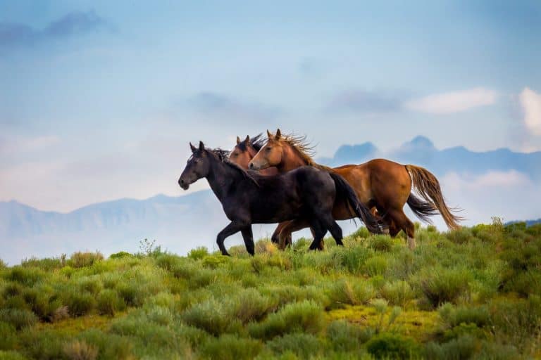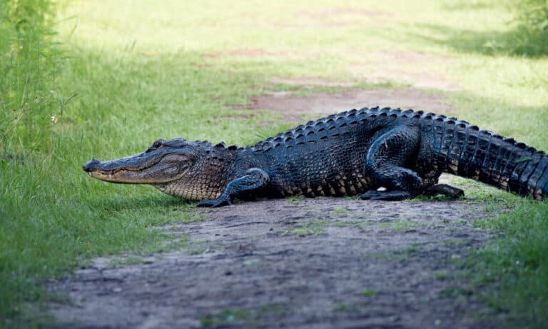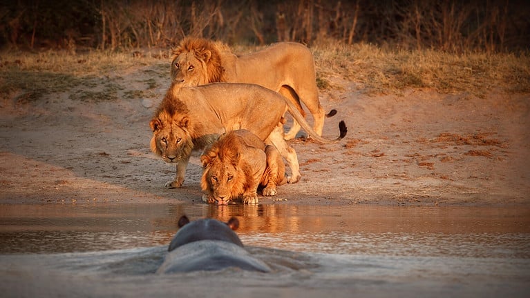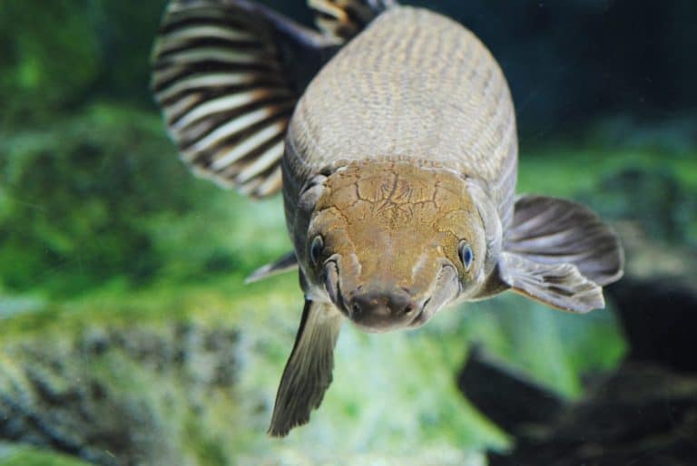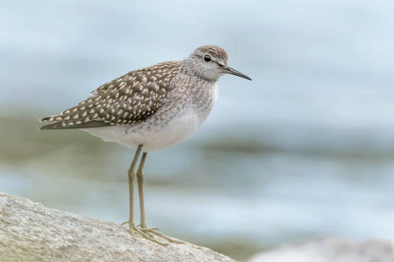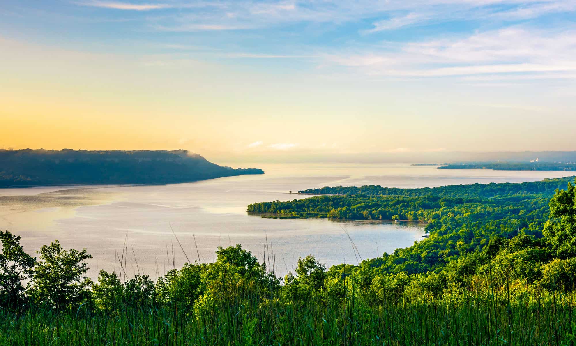

It’s the third-largest watershed on the globe and home to hundreds of fish, birds, and amphibians. The Mississippi River runs north to south, leaving its mark through 10 different states along the way before reaching its drainage basin. Water-skiing became a sport on these very waters. For those who prefer the safety of on-land travel, there’s a road you can take alongside the river to enjoy its many wonders. Discover the warmest point of the Mississippi River. Also, learn exactly which states it travels through and if it’s safe to take a dip in!
Where Does the Mississippi River Run?
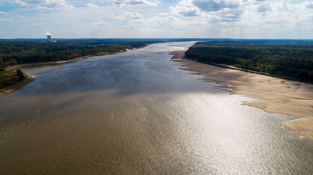
The Mississippi River runs through 10 states in the U.S.
©Justin Wilkens/Shutterstock.com
The Mississippi River is the second largest river that runs through the U.S. It swirls and snakes its way through several different states, including Wisconsin, Minnesota, Illinois, Iowa, Kentucky, Missouri, Arkansas, Tennessee, Louisiana, and Mississippi. A little over 40% of the continental U.S. drains into this river.
The drainage basin is 1.2 million square miles and the river spans 2,350 miles from its starting point to its ending point. The National Park Service (NPS) points out that there is some debate on its exact length. However, the accepted range is from 2,300 to 2,552 miles. The starting point is also a bit debatable, but most accept that it starts in Lake Itasca in the state of Minnesota.
The river travels south all the way down into the Gulf of Mexico approximately 160 miles south of New Orleans in the state of Louisiana. Its width ranges depending on which portion of the river you point to. Sometimes it’s as narrow as 20 or 30 feet and sometimes as wide as 11 miles (its widest point is Lake Winnibigoshish in Minnesota).
Can You Swim in the Mississippi River?
Although a rushing river may sound inviting, particularly on a hot day, the Mississippi River is not safe for swimming. Different stretches throughout the river do not meet safe quality standards for several contaminants, including bacteria, sediment, mercury, and polychlorinated biphenyl (PCBs). Not only do these contaminants affect the quality of the water, but also the ability to fish in the water.
The State of the River Report is a report put together by the Friends of the Mississippi River (FMR) along with the National Park Service’s Mississippi National River and Recreation Area (MNRRA) that identifies the water’s quality. The report highlights 14 key indicators of the Mississippi River’s health in a digestible way for those who don’t study science professionally. While it highlights the problems found throughout the river, it also focuses on strategies to improve the overall health of its rushing waters.
Warmest Point of the Mississippi River
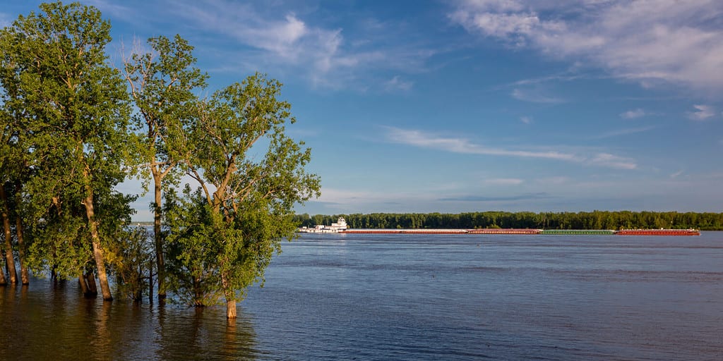
The Mississippi River is unsafe to swim in, however, other activities along the river include biking, hiking, hunting, and more.
©Joseph Sohm/Shutterstock.com
The temperature of the Mississippi River varies significantly. This is due to the river running from the generally cooler parts of the northern U.S. down to the warmer regions in the southern portion of the country. Throughout half of the year, temperatures feel cooler and the other half, temperatures warm up with fair chances of precipitation.
The absolute warmest months throughout the year are unsurprisingly summer months but out of the order you might expect. The warmest month is July followed by August and finally, June. In July, it’s not uncommon for temperatures to rise to 89 °F and they rarely drop below 67.7 °F. The warmest point of the Mississippi River is in Southern Louisiana, right at the tail end of the river just before it joins the Gulf of Mexico.
In New Orleans, the month of July is quite humid and warm. The temperatures average 92 °F at least 11 days out of the month. Although the mornings and evenings are a bit cooler, they don’t venture below 70 °F on average. It’s common for rain showers and thunderstorms to occur during this month as well. The Gulf of Mexico, where the Mississippi River ends, has an average temperature between 70 °F and 82 °F. The water can reach a whopping 90 °F during the summer.
Recreational Activities Around the Mississippi River
There’s a road that follows the Mississippi River throughout different states called the Great River Road. If you decide to tour the Mississippi River and find recreation along the way, this road is a must. It’s considered the “Best drive in America” and follows the Mississippi River closely for 3,000 miles from the northern region of Minnesota all the way down to the Gulf of Mexico. Along the way, you can stop by hundreds of river towns as you make it through each state. A straight-through drive may only take 36 hours, but it’s best enjoyed as a multi-day trip. Those who embark on this road trip can expect to enjoy the following activities:
- Biking
- Birding
- Boats and cruises
- Sports and gaming
- Hiking
- Hunting and wildlife
- Canoeing and kayaking
- Agritourism
- Auto and motorcycle tours
- Geocaching
- And more!