
Satellite imagery from Landsat 1 and Landsat 9 provides a striking look at how Lake Mead has changed over the past several decades. From the early 1970s to today, these images reveal the dramatic shrinkage of the reservoir as the ongoing megadrought continues to reshape the region. During that time, Lake Mead’s elevation has dropped from about 1,155 feet above sea level in 1972 to roughly 1,041 feet today. Watch the footage to see how these changes have unfolded and what they reveal about one of America’s most important water sources.

About the Author
A-Z Animals Staff
AZ Animals is a growing team of animals experts, researchers, farmers, conservationists, writers, editors, and -- of course -- pet owners who have come together to help you better understand the animal kingdom and how we interact.
Thank you for reading! Have some feedback for us?
Contact the AZ Animals editorial team
Thank you for your feedback!
We appreciate your help in improving our content.
Our editorial team will review your suggestions and make any necessary updates.
There was an error submitting your feedback. Please try again.
Related Articles You May Find Interesting
 Blog
One Million Raptors Fly over Georgia. 9,000 Are Shot for Fun.
 Blog
Two Rescued Spider Monkeys Begin New Lives at Utah’s Hogle Zoo
 Blog
Fatal Deer Disease Hits Hillsdale County Mid-Hunting Season
 Blog
Why Do Gibbons Walk With Their Arms in the Air, Like They Just Don’t Care?
 Blog
One Reef Has Already Collapsed and 122 More Are at Risk
 Blog
Giant Flesh-Eating Mice Are Hunting Albatross Chicks in Packs
 Blog
Urchins Surged 10,000%. Scientists Just Released Their Critically Endangered Predator
 Blog
Mountain Gorilla Comes Face-to-Face With Tourists in Rwanda, What Should They Do?
 Blog
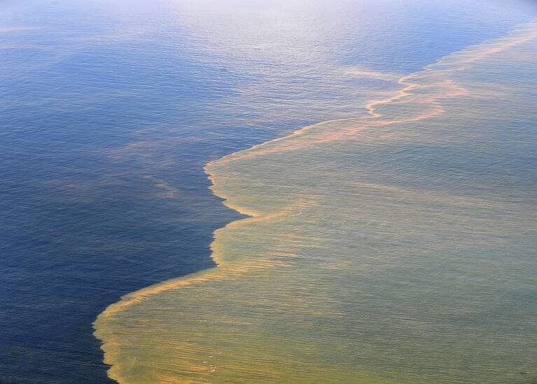
The Gulf Looks Clean but 60% of Its Marine Life Is Gone
 Blog
The Bees You’re Saving Are Bullying Bumblebees off Flowers
 Blog
The Hurricane Video That Shows How Horses Warn Each Other
 Blog