
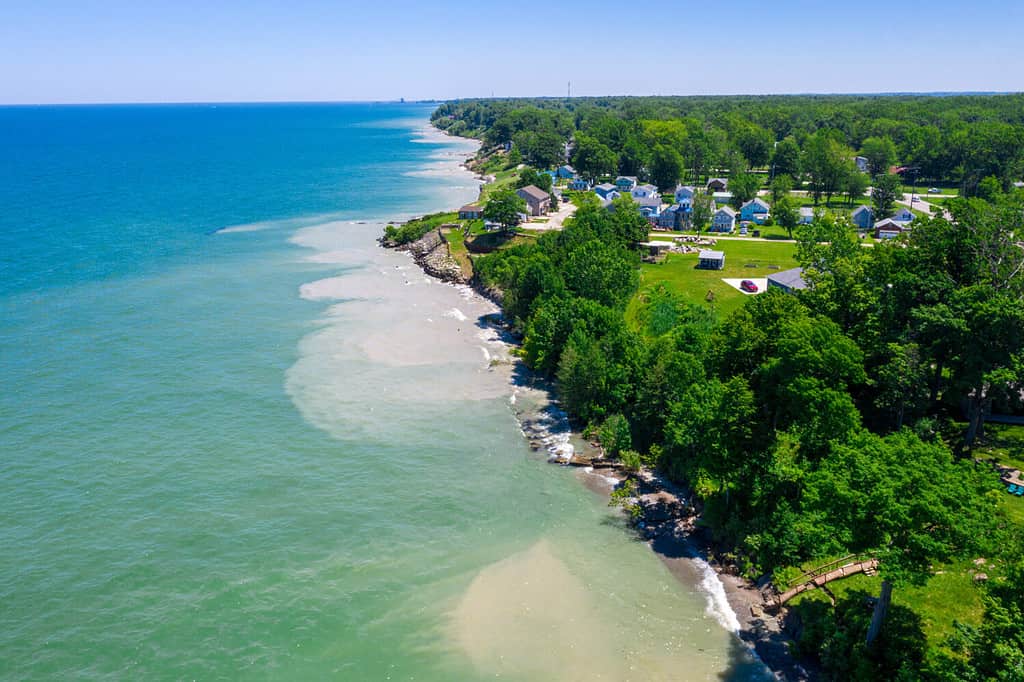
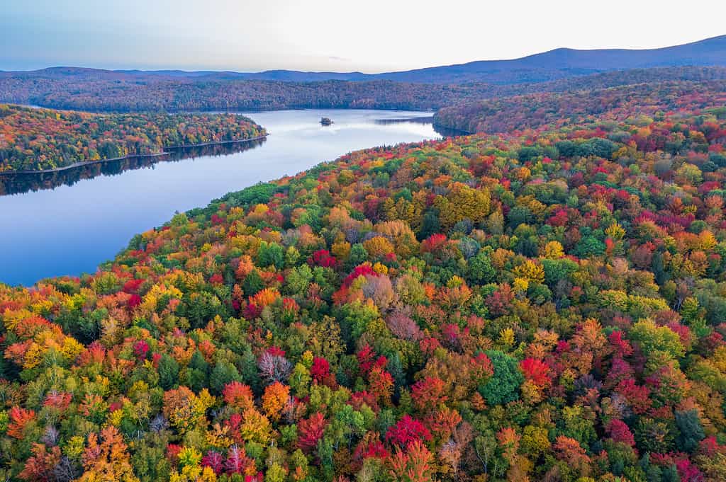
The United States, marked by its vastness and natural beauty, shares a border with Canada, its neighbor to the north. This terrestrial border spans over 5,525 miles (8,891 kilometers) and is bordered by 13 U.S. states. Each state, from the rugged wilderness of Alaska to the Great Lakes of Michigan, contributes to the unique landscapes of this international boundary. These states vary in climate, geography, and ecosystems. All offer a diverse range of nature, from the Pacific Ocean to the Atlantic Ocean. The 13 states bordering Canada include Alaska, Washington, Idaho, Montana, North Dakota, Minnesota, Michigan, Ohio, Pennsylvania, New York, Vermont, New Hampshire, and Maine. Let’s explore each and their relation to the Canadian border in depth.
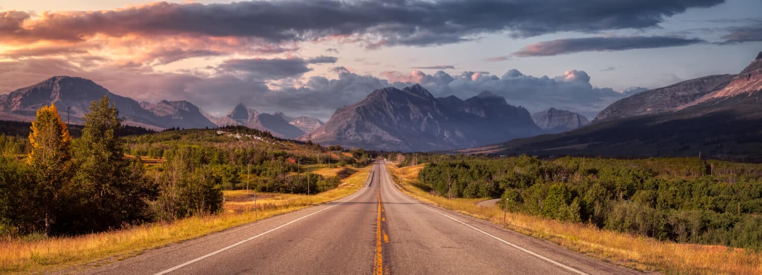
The United States shares a primarily terrestrial border with Canada that spans over 5,525 miles (8,891 kilometers).
©EB Adventure Photography/Shutterstock.com
Alaska
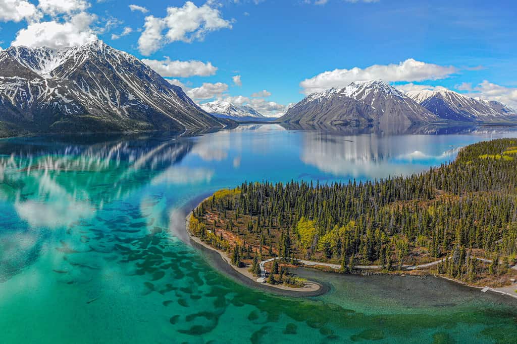
The Alaska-Canada border is approximately 1,538 miles (2,475 kilometers) long.
©Scalia Media/Shutterstock.com
Alaska, the northernmost U.S. state, shares a vast and rugged border with Canada. This border stretches for approximately 1,538 miles (2,475 kilometers) along Alaska’s eastern edge. It is a border defined by majestic mountains, dense forests, and many bodies of water.
Furthermore, Alaska became a state of the United States on January 3, 1959. This makes it the youngest state in the nation. The state capital is Juneau. Juneau is situated in the southeastern part of Alaska on the coast. As the crow flies, it is approximately 86 miles (138 kilometers) from the border.
Moreover, besides Juneau, Alaska boasts several significant cities near its Canadian border. Anchorage, the largest city in the state, is approximately 300 miles (483 kilometers) west of the border. Fairbanks, known for its rich history, is about 285 miles (459 kilometers) northwest of the Alcan Border.
The nature along the Alaskan-Canada border is nothing short of spectacular. The border is dotted with towering mountain ranges, including the Alaska Range and the Wrangell-St. Elias Mountains. Vast boreal forests cover much of the region, providing habitat for diverse wildlife. Wildlife here includes moose, muskoxen, grizzly bears, wolves, and eagles, to name a few. Furthermore, the border is also punctuated by numerous rivers and lakes. Rivers include the Yukon River, which flows westward into Alaska from Canada.
The environment at the Alaskan-Canadian border experiences extremes. Winters here are harsh and frigid, with temperatures often plunging well below freezing. Conversely, Summers bring long daylight hours and a burst of life as flora and fauna take advantage of the brief warm season.
Washington
The Washington-Canada border is approximately 427 miles (687 kilometers) long.
©Edmund Lowe Photography/Shutterstock.com
Washington, the Evergreen State, shares a picturesque border with Canada. This northern boundary stretches for approximately 427 miles (687 kilometers). This expanse ranges from the Pacific Ocean through the rugged peaks of the North Cascades. Washington was admitted to the Union on November 11, 1889, becoming the 42nd state of the United States. The state capital is Olympia. Olympia is located in the southwestern part of the state, about 160 miles (257 kilometers) from the Canadian border.
Furthermore, while Olympia is the capital, Bellingham is the most significant city near the Canadian border in Washington. It is a college town and a place for outdoor enthusiasts to live and play. Bellingham is a small city residing approximately 25 miles (40 kilometers) south of the Canadian border. It is famous for its proximity to outdoor recreation along the coast and nearby mountains.
Moreover, the nature along the Washington-Canada border is an excellent example of the northern Pacific Northwest’s beauty. The North Cascades National Park, encompassing part of this border, is a wilderness wonderland of jagged peaks, glaciers, and pristine alpine lakes. Dense evergreen forests cover the landscape, providing habitat for diverse wildlife, including black bears, elk, cougars, and bald eagles.
The state and the region at the border have a temperate climate. It experiences mild, wet winters as well as warm, dry summers. However, the mountains experience long and cold snowy winters. Furthermore, this climate nurtures lush vegetation and supports the state’s rich biodiversity.
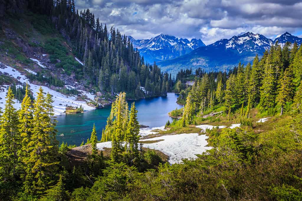
Idaho
The Idaho-Canada border is approximately 45 miles (72 kilometers) long.
©Nature’s Charm/Shutterstock.com
Idaho, known as the Gem State for its abundance of precious gemstones, shares a unique border with Canada. This northern boundary extends for approximately 45 miles (72 kilometers) in the Panhandle region of Idaho below British Columbia, Canada. Idaho became the 43rd state of the United States on July 3, 1890. The state capital is Boise, located in the southwestern part of the state. It is quite distant from the Canadian border at approximately 480 miles (772 kilometers) by car.
Furthermore, you’ll find Coeur d’Alene near the Canadian border in Idaho. This city is known for its stunning lake and outdoor recreational opportunities. Coeur d’Alene is approximately 100 miles (161 kilometers) south of the border. It is a hub for lake sports and nature enthusiasts.
Moreover, the Selkirk Mountain Range, part of the larger Columbia Mountain Range, characterizes the natural beauty at the Idaho-Canada border. These rugged mountains are covered in coniferous forests and provide a habitat for diverse wildlife. Wildlife here can include grizzly bears, wolves, and mountain goats.
The environment in this region experiences a maritime to continental climate with frigid winters and warm summers. Furthermore, it’s a land of pristine lakes, meandering rivers, and dense forests. A true haven for those seeking outdoor experiences.
Montana
The Montana-Canada border is approximately 545 miles (877 kilometers) long.
©Vaclav Sebek/Shutterstock.com
Montana, often referred to as Big Sky Country, shares a lengthy and picturesque border with Canada. This northern boundary extends for approximately 545 miles (877 kilometers), running along the provinces of British Columbia, Alberta, and Saskatchewan. Montana became the 41st state of the United States on November 8, 1889. The state capital is Helena. Helena is located near the west-central part of the state, about a 330-mile (531 kilometers) drive to the border.
Furthermore, apart from Helena, there are several significant cities near the Canadian border in Montana. Great Falls, known for its scenic waterfalls on the Missouri River, is located between Helena, MT, and the Canadian border. Missoula is often regarded as the cultural and economic center of western Montana. It is around 280 miles (451 kilometers) from the Canadian border as the crow flies.
Moreover, the natural landscape at the Montana-Canada border is a testament to the state’s nickname, Big Sky Country. The border region encompasses parts of Glacier National Park. This park has glacier-carved peaks, pristine lakes, and abundant wildlife, including grizzly bears and mountain goats. Lush forests blanket the mountains, while the rolling plains extend to the horizon.
The environment here experiences a diverse range of climates. This includes the colder temperatures found further north and in the mountains to the semi-arid prairies across the majority of the state. Furthermore, it’s a region of remarkable natural wonders, attracting nature enthusiasts worldwide.
North Dakota
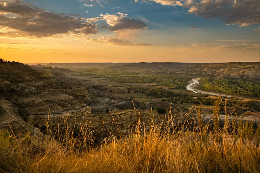
The North Dakota-Canada border is approximately 310 miles (499 kilometers) long.
©TobyG/Shutterstock.com
North Dakota, the Peace Garden State, shares a lengthy border with Canada, stretching for approximately 310 miles (499 kilometers). This expanse is along the provinces of Manitoba and Saskatchewan. It was admitted to the Union on November 2, 1889, as the 39th state of the United States. The state capital is Bismarck, located near the south-central part of North Dakota, about 170 miles (273 kilometers) from the Canadian border.
Furthermore, there are other significant cities near the Canadian border in North Dakota. Fargo, known for its vibrant culture and economic vitality, resides about 256 miles (412 kilometers) south of the Canadian border. Grand Forks is another prominent city between Fargo and the Canadian border.
Moreover, the Great Plains, a vast expanse of rolling prairies, characterizes the natural landscape at the North Dakota-Canada border. Here, you’ll often find golden fields of wheat and sunflowers stretching as far as the eye can see. The border region is dotted with rivers and lakes, including the mighty Red River, which flows north from the North Dakota-Minnesota border into Canada.
The environment at the Canadian border here experiences a continental climate. The winters are cold, while the summers are warm. It’s a land of wide-open spaces supporting agriculture and ranching. Furthermore, wetlands along the border provide crucial habitats for migratory birds, including waterfowl and sandhill cranes, making it a vital stop on their annual journeys.
Minnesota
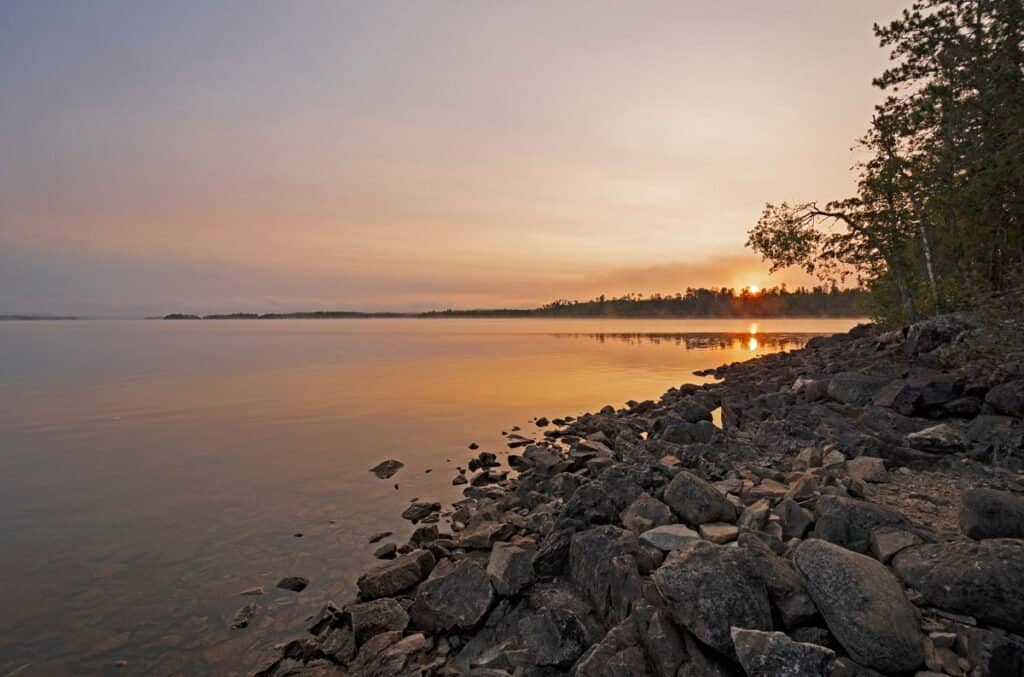
The Minnesota-Canada border is approximately 547 miles (879 kilometers) long.
©Wildnerdpix/Shutterstock.com
Minnesota, known as the North Star State, shares a border with Canada that spans approximately 547 miles (879 kilometers). This expanse is along the provinces of Manitoba and Ontario. On May 11, 1858, Minnesota became the 32nd state of the United States. The state capital is St. Paul, situated in the southeastern part of Minnesota, about 291 miles (468 kilometers) by car from the Canadian border.
Furthermore, the most significant city near the Canadian border in Minnesota is Duluth. Duluth is a major port city. It is located on Lake Superior’s shores. Moreover, it is approximately 160 miles (257 kilometers) from the border. Another notable city, International Falls, resides right on the border. Furthermore, it is known for its frigid winters and is often called the “Icebox of the Nation.”
Moreover, the Minnesota-Canada border is characterized by the state’s nickname, the Land of 10,000 Lakes. This region is home to the Boundary Waters Canoe Area Wilderness, a pristine wilderness area with interconnected lakes and waterways. Towering pine forests, rugged cliffs, and abundant wildlife, including moose, deer, and wolves, define this border’s landscape.
The environment here experiences a continental climate with cold winters and warm summers. Furthermore, the lakes and forests contribute to the northern region’s ecological richness and offer exceptional opportunities for outdoor recreation, including hiking, fishing, and boating.
Michigan
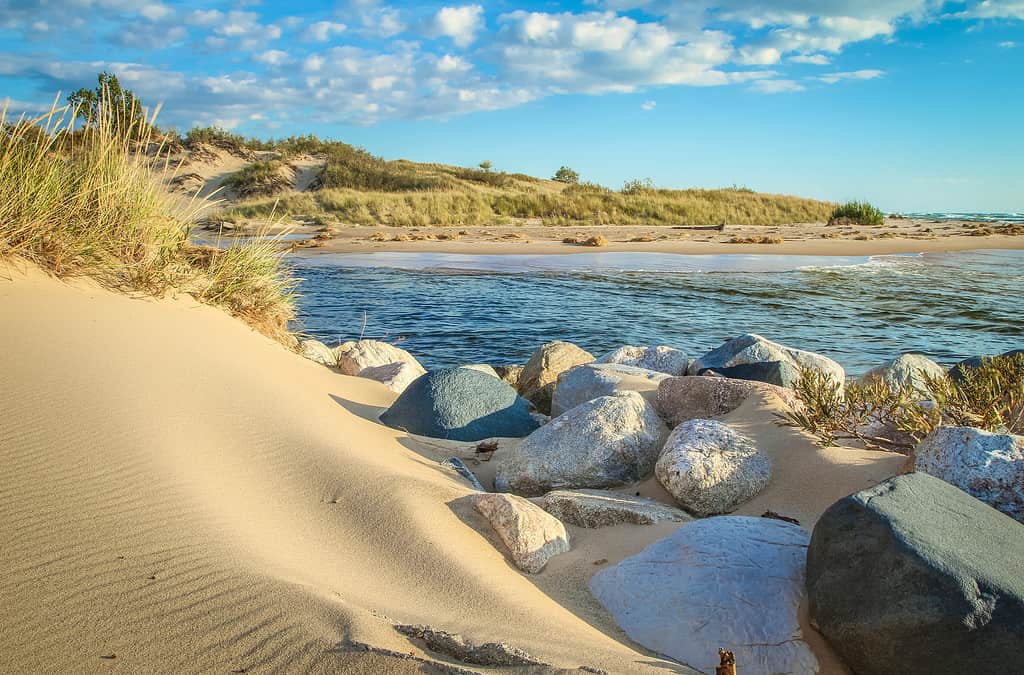
The Michigan-Canada border is approximately 721 miles (1,161 kilometers) long.
©ehrlif/iStock via Getty Images
Michigan, also known as the Great Lakes State, shares a substantial border with Canada, primarily along the province of Ontario. This boundary spans approximately 721 miles (1,161 kilometers). Michigan became the 26th state on January 26, 1837. The state capital is Lansing, centrally located in the lower part of Michigan, about 90 miles (145 kilometers) from the Canadian border by car.
Furthermore, Michigan boasts several other significant cities near the Canadian border. Detroit, known as the Motor City, is the state’s largest city and is right along the Canadian border. Windsor, Ontario, lies just across the Detroit River, connected by the Ambassador Bridge and the Detroit-Windsor Tunnel.
Moreover, the Michigan-Canada border consists of nature influenced by the Great Lakes, particularly Lake Superior, Lake Michigan, and Lake Huron. These vast bodies of water shape the region’s climate and ecology, providing habitat for diverse aquatic life. The border region also features lush forests, dunes along Lake Michigan, and the rocky shores of Lake Superior.
The environment here experiences primarily a humid continental climate, with cold winters and moderate summers. The Great Lakes play a crucial role in the region’s weather patterns, often creating lake-effect snow and influencing temperatures. Furthermore, the border area has a unique blend of natural beauty, including the Pictured Rocks National Lakeshore, Sault Ste. Marie State Forest Area, and Hiawatha National Forest.
Ohio
The Ohio-Canada maritime border is approximately 64 miles (264 kilometers) long.
©IanSkylake17/Shutterstock.com
Ohio, known as the Buckeye State, shares a relatively short border with Canada, approximately 164 miles (264 kilometers). This expanse is along the province of Ontario. On March 1, 1803, Ohio became the 17th state of the United States. The state capital is Columbus, located near the geographical center of Ohio, about 202 miles (325 kilometers) from the Canadian border by car. Furthermore, Ohio does not share a land border with Canada but is separated by Lake Erie.
Furthermore, while Columbus serves as the capital, there are significant cities near the Canadian border in Ohio. Toledo, situated along the northwestern edge of the state, is a major port city on the shores of Lake Erie and is approximately 58 miles (93 kilometers) from the border by car.
Moreover, Lake Erie, one of the Great Lakes, influences nature along the Ohio-Canada border. Lake Erie’s coastline in Ohio features sandy beaches, wetlands, and limestone cliffs. The border region also includes islands like Put-in-Bay and Kelleys Island, known for their natural beauty and recreational opportunities.
The environment in this region experiences a humid continental climate with distinct seasons. Lake Erie moderates temperatures, preventing extreme cold in winter and extreme heat in summer. Furthermore, the border area has great birdwatching, fishing, and outdoor activities, with wildlife including waterfowl, fish, and migratory birds.
Pennsylvania
The Pennsylvania-Canada maritime border is approximately 42 miles (68 kilometers) long.
©Andrew Hearn/Shutterstock.com
Pennsylvania, often referred to as the Keystone State uniquely shares a border with Canada. Like Ohio, it does not have a direct border with a Canadian province. It is located on the southeast border of Lake Erie, which forms a natural border with Canada expanding about 42 miles (68 kilometers). On December 12, 1787, Pennsylvania became the 2nd state of the United States. The state capital is Harrisburg, situated in the southeastern part of Pennsylvania, approximately 300 miles (483 kilometers) from Lake Erie.
Furthermore, the city of Erie, located on the shores of Lake Erie, is the most significant city near the northern border. Moreover, the city of Erie is on the lakeshore of Lake Erie, making it the closest city to Canada as the crow flies. Known for its cultural heritage, Erie offers stunning lake views, beaches, and outdoor recreational opportunities.
Moreover, the Pennsylvania-Canada border, consisting of Lake Erie, is characterized by sandy beaches and water, in addition to a diverse range of bird and fish species. Presque Isle State Park, a prominent natural area on Lake Erie, is a haven for birdwatchers and outdoor enthusiasts. The park’s sandy shores and diverse habitats provide crucial stopover points for migratory birds.
The environment at this border region also experiences a humid continental climate. Lake Erie has a moderating effect on temperatures, preventing extreme fluctuations. Furthermore, the border area is ecologically significant for its wetlands and the preservation of critical bird migration routes.
New York
The New York-Canada border is approximately 445 miles (716 kilometers) long.
©Photomanz/Shutterstock.com
New York, often called the Empire State, shares a substantial border with Canada, stretching for approximately 445 miles (716 kilometers). This expanse is along the provinces of Ontario and Quebec. On July 26, 1788, New York became the 11th state of the United States. The state capital is Albany, located in the eastern part of New York, approximately 181 miles (291 kilometers) from the Canadian border by car.
Furthermore, New York boasts several other significant cities near the Canadian border. Buffalo, situated along the eastern shore of Lake Erie, is one of the state’s second-largest cities and is located on the Canadian border. Rochester, another major city, is about 85 miles (137 kilometers) east of the border by land filled with industrial heritage and cultural attractions.
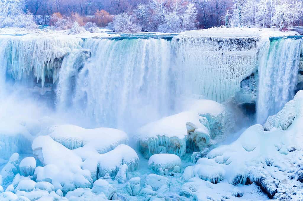
Moreover, nature along the New York-Canada border is also greatly influenced by the Great Lakes, particularly Lake Erie and Lake Ontario. These massive bodies of water shape the climate and ecology of the region, with their shores characterized by sandy beaches, rocky cliffs, and wetlands. The Thousand Islands region, along the St. Lawrence River, offers a unique landscape of forested islands and clear waters. Moreover, Niagara Falls is located on the New York- Canada border.
The environment here experiences a diverse range of climates but is generally a continental climate. Furthermore, the border area is known for its vineyards, apple orchards, and opportunities for boating, fishing, and enjoying the scenic beauty of the lakes and rivers.
Vermont
The Vermont-Canada border is approximately 90 miles (145 kilometers) long.
©iStock.com/Lightphoto
Vermont, known as the Green Mountain State, shares a border with Canada, extending for approximately 90 miles (145 kilometers). This expanse is along the province of Quebec. Moreover, Vermont became the 14th state on March 4, 1791. The state capital is Montpelier, located in the northwest-central region of Vermont, approximately 69 miles (111 kilometers) from the Canadian border.
Furthermore, Burlington resides on the eastern shore of Lake Champlain. It is the largest city near the Canadian border. Burlington has a vibrant arts scene, outdoor recreational opportunities, and views of the Adirondack Mountains across the lake.
Moreover, nature along the Vermont-Canada border is characterized by the Green Mountains, a picturesque range covered in lush forests. Lake Champlain, a natural border between Vermont and New York, is one of the largest freshwater lakes in the United States. The region features rolling hills, clear lakes, and fertile valleys, making it ideal for agriculture and outdoor activities.
The environment in this border region experiences a wet continental climate. Vermont is famous for its maple syrup production and the maple trees that thrive here. Furthermore, the border area offers opportunities for hiking, skiing, and enjoying the scenic landscapes.
New Hampshire
The New Hampshire-Canada border is approximately 58 miles (93 kilometers) long.
©C Louis Creations/iStock via Getty Images
Also known as the Granite State, New Hampshire shares a border with Canada extending approximately 58 miles (93 kilometers). This expanse is along the province of Quebec. New Hampshire became the 9th state of the United States on June 21, 1788. The state capital is Concord, situated in the southeastern part of New Hampshire, about 155 miles (249 kilometers) by car from the Canadian border.
Furthermore, there are no major cities near the Canadian border in New Hampshire. Small towns and rural landscapes characterize the region. However, the towns of Canaan and Colebrook, located in the northern part of the state, are two of the closest communities to the border.
Moreover, the nature along the New Hampshire-Canada border includes the Quebec/New England Boundary Mountains. The border region features dense forests, pristine lakes, and rushing rivers. The Connecticut River, which forms part of the border, is a vital waterway and habitat for various wildlife.
The environment in this border region experiences a humid continental climate. Furthermore, the White Mountains are a destination for outdoor enthusiasts, offering opportunities for hiking, skiing, and exploring the state’s natural beauty.
Maine
The Maine-Canada border is approximately 611 miles (983 kilometers) long.
©EQRoy/Shutterstock.com
Maine, often referred to as the Pine Tree State, shares a strikingly beautiful and extensive border with Canada. The northern boundary of Maine stretches for approximately 611 miles (983 kilometers). This expanse is along the Canadian provinces of New Brunswick and Quebec by land. Maine became the 23rd state of the United States on March 15, 1820, as part of the Missouri Compromise. The state capital is Augusta, located in the southwestern part of Maine, about 125 miles (201 kilometers) from the Canadian border by car.
Furthermore, there are several significant cities near the Canadian border in Maine. Bangor, located along the Penobscot River, is the state’s third-largest city and is approximately 94 miles (151 kilometers) from the border. In the northwestern part of Maine, Houlton is just a stone’s throw away from the border shared with New Brunswick.
Moreover, the Maine-Canada border is rugged with wild beauty. The region has expansive forests, numerous lakes, and swift-flowing rivers. The northern part of Maine is home to the Allagash Wilderness Waterway, a designated National Wild and Scenic River System, where paddlers can experience unspoiled nature and spot moose, great blue herons, and loons.
The environment in this border region experiences a humid continental climate, with frigid winters and mild summers. Maine’s northern wilderness is a haven for outdoor enthusiasts, offering hiking, fishing, camping, hunting, and wildlife observation opportunities. Furthermore, it’s a land where vast stretches of wilderness meet the northern edge of the United States.
List of 13 States That Border Canada
| Number | U.S. State |
|---|---|
| 1 | Alaska |
| 2 | Washington |
| 3 | Idaho |
| 4 | Montana |
| 5 | North Dakota |
| 6 | Minnesota |
| 7 | Michigan |
| 8 | Ohio |
| 9 | Pennsylvania |
| 10 | New York |
| 11 | Vermont |
| 12 | New Hampshire |
| 13 | Maine |
The photo featured at the top of this post is © EB Adventure Photography/Shutterstock.com


How to Add Us to Google News


Thank you for reading! Have some feedback for us? Contact the AZ Animals editorial team.