
Iowa is situated in the upper Midwest of the United States. The Hawkeye State falls in the middle of the pack when ranking U.S. states by total area. Here are the details of Iowa’s size, how it compares to the total areas of other states, the sizes of cities and counties in Iowa, and more.
Square Miles and Kilometers
Iowa’s total area spans 56,273 square miles or 145,746 square kilometers. Of that area, 416 square miles (1,077 square kilometers) are covered by water, accounting for about 0.7% of the state’s total area. Only five states have smaller areas of water than Iowa: Vermont, New Hampshire, Arizona, New Mexico, and West Virginia.
Acres
An acre is a unit of land area. One acre is approximately the size of a football field without the end zones. There are 640 acres in a square mile. Iowa’s total area covers 36,014,720 acres.
Length and Width of Iowa
Iowa stretches about 200 miles from north to south. That is almost exactly the same as Kansas’ north-to-south measurement.
Iowa extends approximately 310 miles from east to west. That is comparable to the width of Pennsylvania.
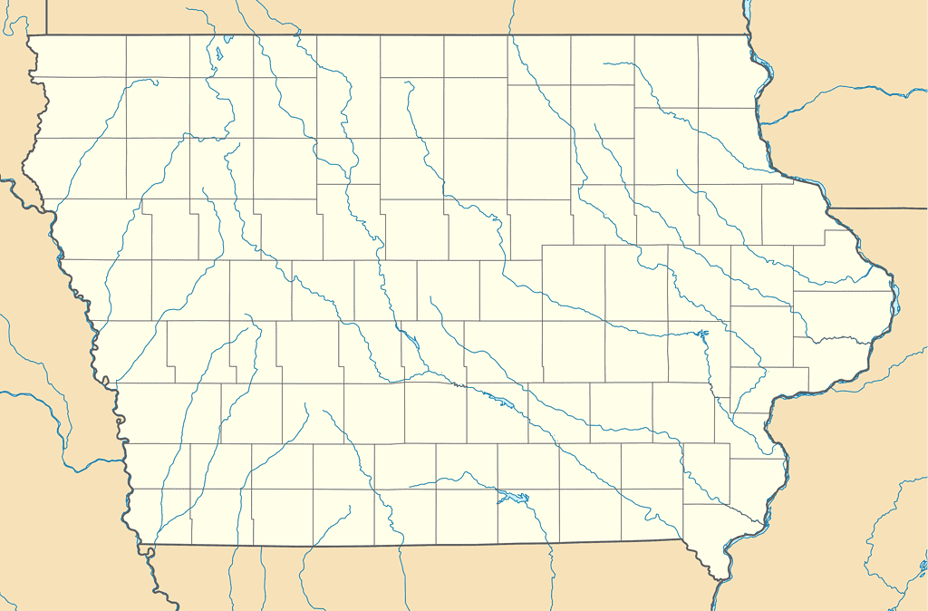
Iowa measures 200 miles from north to south and 310 miles from east to west.
©Alexrk2 / CC BY 3.0 – License
Other States
Iowa is the 26th largest state by total size in the U.S. It is sandwiched between Illinois and New York. Iowa outsizes New York by 1,718 square miles (4,450 square kilometers). Illinois is the most comparable state to Iowa in terms of total area. The Prairie State is roughly 1,640 square miles (4,248 square kilometers) larger than Iowa.
The nation’s largest state is Alaska, and it’s not even close. At 665,384 square miles (1,723,337 square kilometers), you could fit nearly 12 Iowas inside Alaska.
Texas holds the title of the largest state in the conterminous U.S. The Lone Star State is more than 4.75 times the size of Iowa. California outsizes Iowa by nearly three times, and Montana is over 2.5 times larger than the Hawkeye State.
On the opposite end of the spectrum, Rhode Island is easily the smallest U.S. state. You could fit 46 Rhode Islands inside of Iowa. In fact, you could fit the smallest seven U.S. states inside of Iowa. If you placed Massachusetts, Vermont, New Hampshire, New Jersey, Connecticut, Delaware, and Rhode Island inside of Iowa’s borders, you would still have room to add another New Jersey or seven more Rhode Islands.
Iowa accounts for 1.48% of the total area of the United States. Other states that hold around one and a half percent of U.S. land include Georgia, Illinois, New York, North Carolina, and Arkansas.
Only 0.04% of U.S. land lies in Rhode Island. Texas accounts for over seven percent of the United States, but no state comes close to Alaska. A jaw-dropping 17.48% of the United States’ total area is in Alaska.
State Borders
Iowa borders six U.S. states. It is bordered by Minnesota to the north, Wisconsin to the northeast, Illinois to the east and southeast, Missouri to the south, Nebraska to the west, and South Dakota to the northwest.
Three rivers mark some of Iowa’s boundaries. The Hawkeye State is bordered by the Mississippi River to the east and the Missouri River and Big Sioux River to the west.
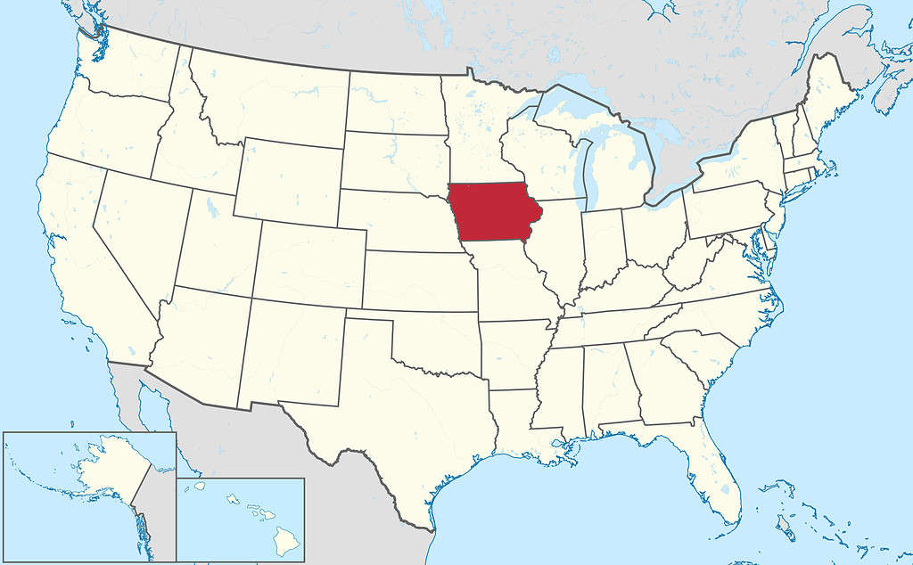
Iowa borders six U.S. states.
©TUBS / CC BY-SA 3.0 – License
Population
Iowa is the 31st most populous state in the U.S., with 3,200,517 residents (U.S. Census Bureau 2022 estimate). The U.S. territory of Puerto Rico has a very similar population, with 3,221,789 residents (2022 estimate). The most comparable population in a U.S. state is found in Nevada. The Silver State has 3,177,772 residents (2022 estimate).
Though similar in size to Iowa, Illinois has a far greater population of 12,582,032 residents (2022 estimate). While Iowa ranks 31st in terms of population, Illinois is the sixth most populous state in the U.S.
The nation’s most populous state is California, with 39,029,342 residents (2022 estimate). The Golden State’s population is more than twelve times that of Iowa.
Wyoming is the least populous state in the U.S., with 581,381 residents (2022 estimate). Iowa’s population is more than five and a half times that of Wyoming. There are more people living in the Des Moines metropolitan area than in the entire state of Wyoming.
Population Density
Iowa ranks in the bottom third of U.S. states in terms of population density. Population density is calculated by the number of people per square mile of land area. With 57.1 people per square mile, Iowa ranks 35th among U.S. states in population density. Arkansas and Oklahoma have very similar population densities of 57.9 and 57.7 people per square mile, respectively. Illinois’ population density is 89.1 people per square mile, making it the twelfth most densely populated state in the U.S.
Iowa’s expansive farmlands give the state a relatively low population density.
©Felix Mizioznikov/Shutterstock.com
Alaska has the lowest population density in the nation. With its immense size and small population, Alaska’s population density is only 1.3 people per square mile.
The state with the highest population density is New Jersey. There are 1,273 people per square mile in the Garden State.
Largest Cities
Iowa has three major cities (populations over 100,000). Des Moines is Iowa’s capital and its largest city, with over 214,000 residents. The Des Moines metro is currently the fastest-growing major metro area in the Midwest. It is home to 729,053 residents.
Iowa’s other major cities include Cedar Rapids and Davenport. Cedar Rapids has 137,710 city residents and a metro population of over 276,500. Davenport has a population of nearly 102,000 and a metropolitan area with nearly 385,000 residents (though a significant number of Davenport metro residents live in Illinois).

Des Moines is the capital of Iowa and the state’s largest city.
©iStock.com/benkrut
Counties
There are 99 counties in Iowa, far more than the average number of counties in a U.S. state (62).
Kossuth County in north-central Iowa is the largest county in the state, spanning 973 square miles (2,520 square kilometers).
The smallest county in the Hawkeye State is Dickinson County, which covers 381 square miles (987 square kilometers).
Polk County is far and away the most populous county in the state, with 501,089 residents. Linn County, the second most populated county in Iowa, has less than half the population of Polk County. Not surprisingly, Des Moines is located in Polk County (though a small part of the city also extends into Warren County).
Adams County in southwestern Iowa is the least populated county in the state, with just over 3,200 residents.
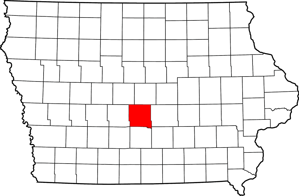
Polk County has more residents than any other Iowa county.
©David Benbennick / Public domain – License
Federal Lands
There are no national parks in Iowa, but the National Park Service does manage multiple sites, including the Effigy Mound National Monument and Herbert Hoover National Historic Site. The Lewis & Clark and Mormon Pioneer National Historic Trails also run through Iowa.
Only 0.3% of Iowa’s land is federally managed, which ties the state with Connecticut for the lowest percentage of federal land in the nation. Federal land includes all lands managed by the National Park Service, Bureau of Land Management, Fish and Wildlife Service, and Forest Service. The average percentage of federally managed land in a U.S. state is just above 15%. Nevada has the highest percentage of federal lands. Nearly 80% of Nevada’s land is owned by the federal government.
Farmland
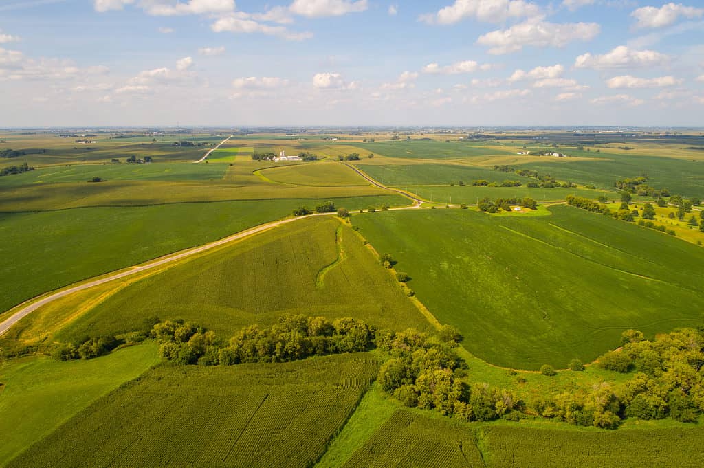
Around 85% of Iowa’s land is farmland, including nearly 75% of dedicated cropland. This is the highest percentage of cropland in any U.S. state.
Iowa is the United States’ top producer of corn, pork, and eggs. It is the second-highest producer of soybeans, trailing Illinois. Iowa ranks fifth in oat production, eighth for alfalfa, ninth for cheese, tenth for wool, twelfth for milk, and thirteenth for beef.
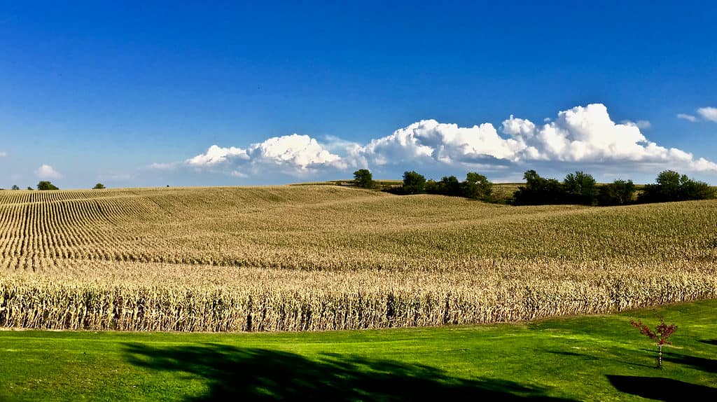
Eighty-five percent of Iowa’s land is farmland.
©Lucas Oglesbee/Shutterstock.com
State Animal
Many states have a long list of official state animals. States often have a state mammal, state reptile, state amphibian, state insect, and so on. However, Iowa only has one official animal symbol. The American goldfinch is the state bird of Iowa and its only official state animal. The goldfinch was selected as the state bird of Iowa on May 22, 1933.
The photo featured at the top of this post is © bubaone/DigitalVision Vectors via Getty Images


How to Add Us to Google News


Thank you for reading! Have some feedback for us? Contact the AZ Animals editorial team.