
The California section of the Pacific Crest Trail (PCT) offers an extraordinary journey through a diverse and challenging landscape. It stretches approximately two-thirds of the PCT, starting from the Mexican border to the state’s northern border. This iconic trail presents hikers with a variety of factors special to the California section. From the highest point along the PCT to the most national parks and wilderness areas passed through, the Pacific Crest Trail in California is equally challenging as it is unique.
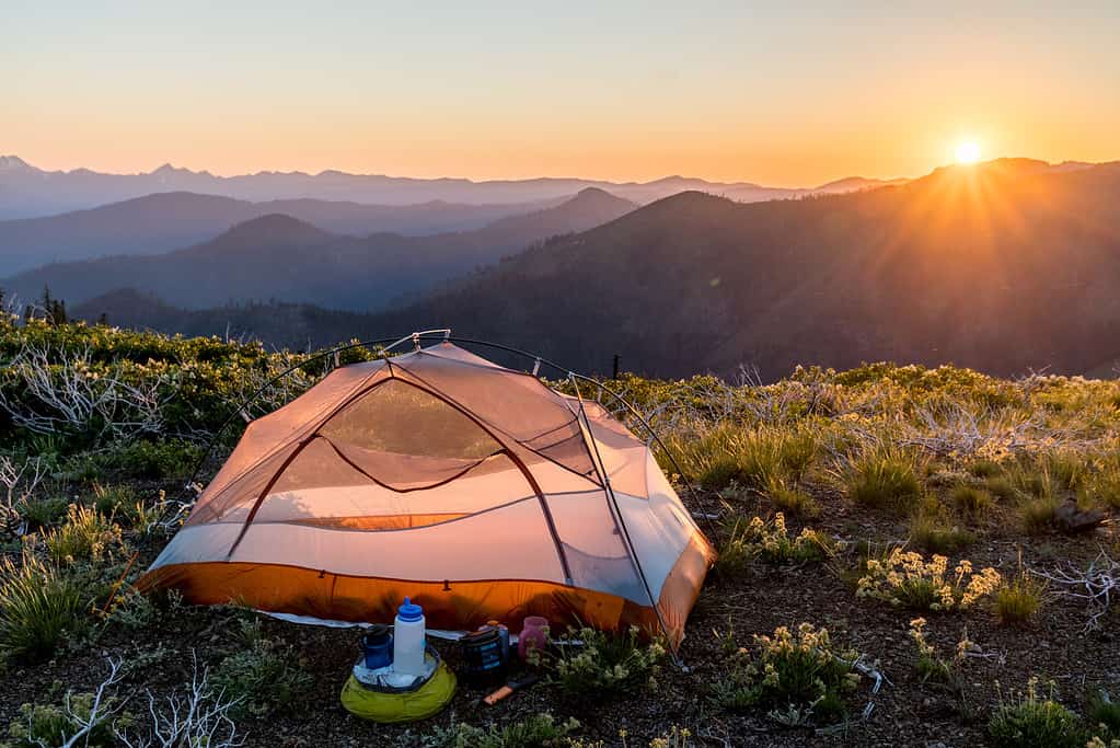
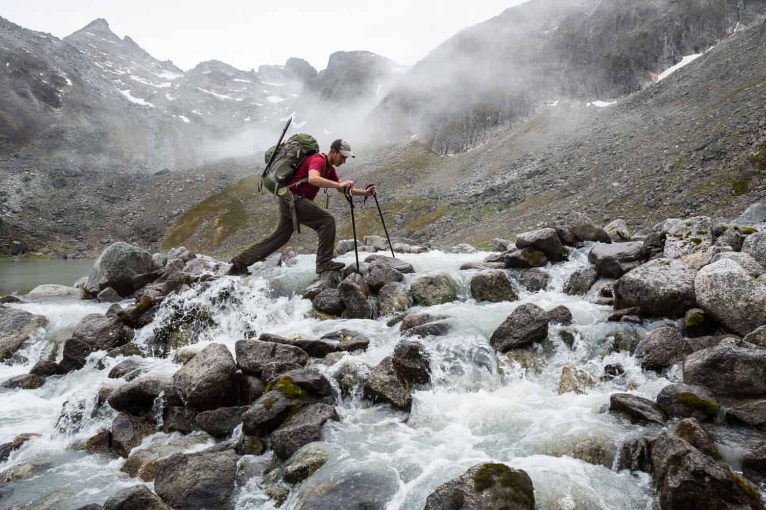
Backpacking the Pacific Crest Trail in California can be a challenging yet rewarding experience.
©Ron Karpel/iStock via Getty Images
California Is the Longest Region of the Pacific Crest Trail With the Most Sections
The California region of the Pacific Crest Trail (PCT) is a lengthy stretch of this renowned long-distance hiking trail. This segment covers approximately 2,722.5 kilometers (1,691.7 miles) of California’s diverse and stunning landscapes. This makes it the longest state portion of the PCT.
The PCT, which extends from the Mexican border in California to the Canadian border in Washington, is divided into 29 distinct sections. Of these sections, an impressive 18 are located within the state of California. Each of these sections offers a unique experience, from the arid deserts of the south to the rugged mountains of the Sierra Nevada and the north.
The California PCT begins at the southern terminus in the town of Campo, CA. Here hikers embark on their journey through the challenging desert environment characterized by scorching temperatures and limited water sources. As hikers progress northward, they encounter the awe-inspiring beauty of the Sierra Nevada Mountains. These mountains feature towering peaks, pristine alpine lakes, and challenging mountain passes.
The trail then continues through the southernmost tip of the Cascade Mountain Range and the Klamath Mountains in the northern part of the state. Both showcase lush forests amongst the remote wilderness. The end of the northern California region lies near the Oregon border. Here the trail transitions into the state of Oregon about halfway through the PCT California section R.
Hiking the entire California region of the Pacific Crest Trail, which includes the southern California region, central California region, and northern California region, is a monumental adventure. Regardless of whether you’re a through-hiker or section hiker, it allows individuals to connect with the diverse ecosystems and natural wonders of the state.
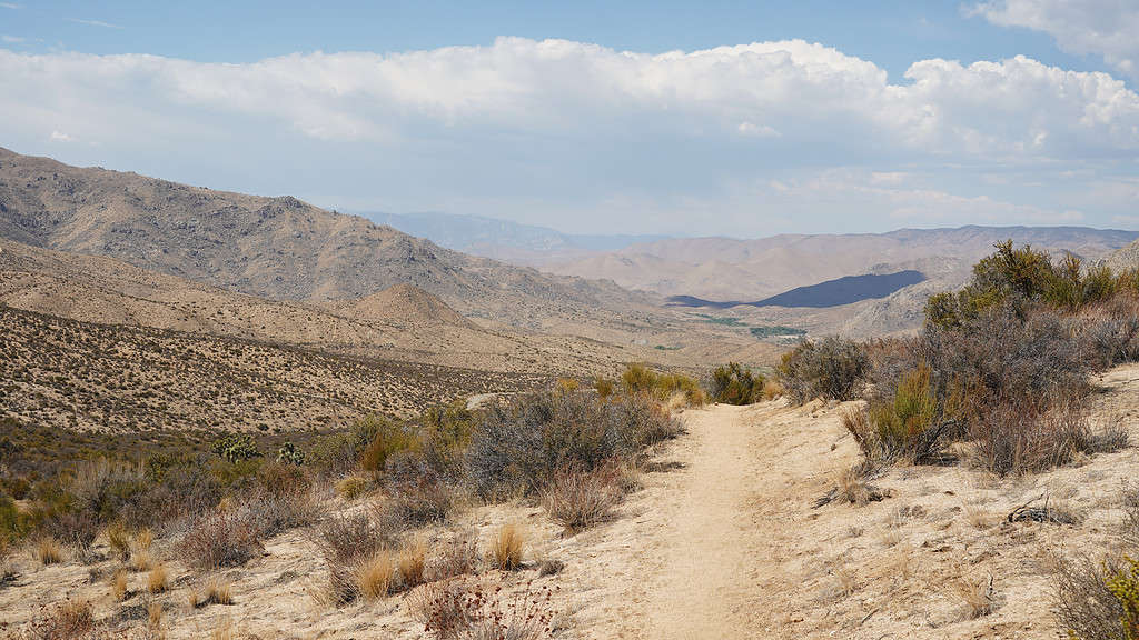
Pacific Crest Trail in southern California can experience a dangerous lack of water resources.
©Christopher Heil/iStock via Getty Images
The Highest Point of the Pacific Crest Trail is in California
Along the Pacific Crest Trail, the highest point is Forester Pass in California’s Sierra Nevada Mountains. This remarkable mountain pass stands at an impressive elevation of 4,009 meters (13,153 feet) above sea level. It is further located on the Kings-Kern Divide, which is between Kings Canyon National Park and Sequoia National Park.
Forester Pass is a challenging and iconic segment of the PCT. It is located in the heart of the Sierra Nevada range. Moreover, it provides breathtaking vistas of surrounding alpine landscapes, including granite peaks and pristine lakes.
Hiking through Forester Pass is a significant achievement for PCT thru-hikers. It represents both a physical and metaphorical high point in the PCT journey. The pass itself is a test of endurance and skill. It requires careful navigation through its unpredictable, rocky terrain and possible snowfields, especially earlier in the hiking season.
The Sierra Nevada Mountains are known for their stunning natural beauty. Forester Pass is a prime example of this region’s rugged grandeur. As hikers traverse this mountain pass, they are rewarded with accomplishing one of the more challenging areas of the PCT.
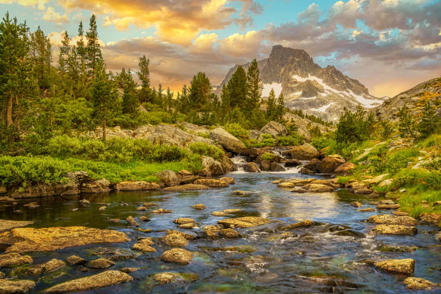
In addition to deserts, the Pacific Crest Trail in California passes through diverse lush forests.
©Ken Everett/Shutterstock.com
California is the Longest State Section to Hike on the Pacific Crest Trail
Hiking the California state section of the Pacific Crest Trail is a monumental undertaking. It varies in duration depending on several factors. On average, it takes the average hiker who is well-versed in wilderness navigation approximately three to four months to complete this challenging and diverse section of the PCT. However, the actual time can vary significantly based on individual hiking speeds, trail conditions, and the hiker’s experience.
The California section of the PCT spans approximately 2,722.5 kilometers (1,691.7 miles). It encompasses a wide range of landscapes, from the arid desert to the rugged mountains. Hikers must contend with changing elevations, weather conditions, personal conditioning, personal health, and resupply logistics, all contributing to the variation in hiking times.
Fastest Known Time of the Pacific Crest Trail in California
When it comes to records, the Fastest Known Time (FKT) of the PCT is astounding. The FKT represents the fastest recorded time for completing a specific trail or route. Notably, the FKT for the California section of the PCT was achieved by ultra-runner and dentist Karel Sabbe in August of 2023.
Karel Sabbe set an astonishing men ‘s-supported FKT record by completing the entire California section of the PCT in an astonishing 29 days, 23 hours, and 59 minutes. This remarkable accomplishment demonstrated not only Sabbe’s exceptional physical endurance but also his skill in navigating the challenging terrain of the trail. His achievement is a testament to the extraordinary feats that some hikers and ultra-runners can accomplish on this iconic trail.
It’s important to note that while the FKT represents an extraordinary achievement, most hikers and through-hikers take a more leisurely pace to fully immerse themselves in the experience of the California section of the PCT. The journey offers a unique opportunity to connect with the wilderness, experience diverse ecosystems, and even discover oneself.
The mens-supported fastest known time for completing the California section of the Pacific Crest Trail was set by Karel Sabbe in August of 2023. He completed this section in 29 days, 23 hours, and 59 minutes.
©Andre Gie/Shutterstock.com
Tribal Lands, National Forests, National Parks, and State Parks
The California section of the Pacific Crest Trail is a captivating journey through an expansive area of protected lands, including National Forests, National Parks, Wilderness areas, State Parks, tribal lands, and more.
Tribal Lands
The California region of the PCT travels through various tribal lands. Some of these tribal lands include the Kumeyaay, Cupeno, Cahuilla, Yuhaviatam Serrano, Tongva, Fernandeno Tataviam, Kitanemuk, Kawaiisu, Tubatulabal, Southern Mono Monache, and Central Sierra Miwok. Moreover, a variety of other tribal lands include the Nisenan, Mountain Maidu, Konkow Maidu, Atsugewi, Okwanuchu, Northern Wintu, Shasta, New River Shasta, Karuk, Cow Creek Umpqua, and the Takelma.
National Forests
The PCT in California traverses several National Forests, including the Angeles National Forest, San Bernardino National Forest, Inyo National Forest, Sequoia National Forest, and Klamath National Forest. These forests offer a rich variety of ecosystems, from dense forests to alpine vistas, and provide essential habitats for wildlife.
National Parks
Within the California section of the PCT, hikers have the privilege of passing through world-famous National Parks as well. The most notable park is Yosemite National Park, renowned for its towering granite cliffs, waterfalls, and pristine wilderness. Moreover, other national parks the PCT passes through in California include Sequoia National Park, Kings Canyon National Park, and Lassen Volcanic National Park.
Wilderness Areas
The PCT passes through numerous federally designated Wilderness areas, such as the John Muir Wilderness and the Desolation Wilderness. These areas are protected to preserve their natural beauty and provide hikers with a genuinely remote and unspoiled wilderness experience. Other wilderness areas the PCT passes through within the California region include Marble Mountain Wilderness, Russian Wilderness, Castle Crags Wilderness, Trinity Alps Wilderness, Lassen Volcanic Wilderness, Bucks Lake Wilderness, Granite Chief Wilderness, Mokelumne Wilderness, Carson-Iceberg Wilderness, Hoover Wilderness, Emigrant Wilderness, Yosemite Wilderness, Ansel Adams Wilderness.
Moreover, there is also the Sequoia-Kings Canyon Wilderness, Golden Trout Wilderness, South Sierra Wilderness, Domeland Wilderness, Chimney Peak Wilderness, Owens Peak Wilderness, and Kiavah Wilderness. Finally, the last handful of wilderness areas include Pleasant View Ridge Wilderness, Sheep Mountain Wilderness, San Gorgonio Wilderness, San Jacinto Wilderness, Beauty Mountain Wilderness, and Hauser Wilderness.
State Parks
California’s State Parks also play a role in the PCT journey. Hikers encounter five state parks in California. They include Castle Crags State Park, McArthur-Burney Falls Memorial State Park, Silverwood Lake State Recreation Area, Anza Borrego Desert State Park, and Mount San Jacinto State Park.
Conservation and Preservation
These protected lands serve as critical habitats for a wide range of plant and animal species, many of which are endemic or endangered. They underscore the importance of conservation and preserving these natural wonders for future generations.
All people who pass through these lands and protected areas must adhere to Leave No Trace principles, minimizing their impact on the environment and protecting it. Additionally, permits are often required to ensure responsible traffic in these delicate ecosystems.
Forester Pass is one of seven mountain passes the Pacific Crest Trails passes through in the Sierra Nevada Mountains.
©chrisontour84/Shutterstock.com
The Sierra Nevada Mountains
The Pacific Crest Trail meanders through the Sierra Nevada Mountains, a majestic and rugged mountain range in central California. Stretching approximately 627.644 kilometers (390 miles) through the heart of California, the Sierra Nevada Mountains offer an awe-inspiring and challenging section for PCT hikers.
The Sierra Nevada Mountains are renowned for their lofty peaks, including the iconic Mount Whitney, the highest point in the contiguous United States, standing at 4,421 meters (14,505 feet). Hikers in the Sierra Nevada traverse through stunning alpine landscapes dotted with pristine lakes, lush meadows, and jagged granite peaks, providing a feast for the eyes at every turn. Furthermore, the PCT traverses seven mountain passes through the Sierra Nevadas. They include Forester Pass (13,153 feet or 4,009 meters. Also the highest point on the PCT), Glen Pass (11,926 feet or 3,635 meters), Kearsarge Pass (11,709 feet or 3,569 meters), Pinchot Pass (12,107 feet / 3,690 meters), Mather Pass (12,100 feet / 3,688 meters), Muir Pass (11,955 feet / 3,644 meters), and Sonora Pass (9,624 feet / 2,933 meters).
The Sierra Nevada’s diverse ecosystems include foothill woodland, chaparral, lower montane forest, upper montane forest, subalpine, and alpine life zones. Each zone is home to unique flora and fauna adapted to various elevations and often harsh mountain environments. PCT hikers may encounter wildlife such as California mule deer, pond frogs, long-eared chipmunks, golden eagles, Northern alligator lizards, and the elusive Sierra Nevada bighorn sheep.
Seasonal Challenges
The Sierra Nevada can be both a paradise and a formidable landscape for PCT hikers. Early-season hikers face snow-covered trails and swollen river crossings. In contrast, late-season hikers contend with potential wildfires and scorching temperatures. Adaptability and preparedness are crucial for a successful Sierra Nevada crossing.
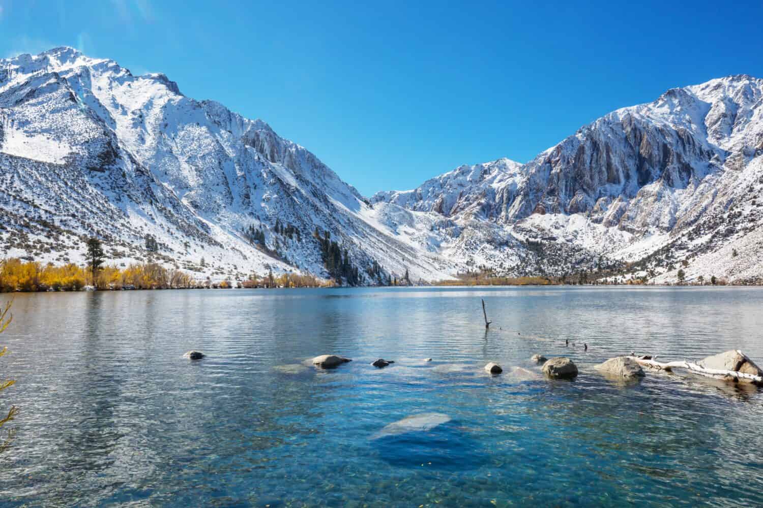
The Sierra Nevada Mountains in California are dotted with incredible granite peaks and alpine lakes.
©Galyna Andrushko/Shutterstock.com
California Has the Hottest and Driest Sections on the Pacific Crest Trail
The Pacific Crest Trail begins in California, and the first 700 miles travel through desert-like environments. Naturally, the hottest sections along the Pacific Crest Trail are found in this region, comprising the southern portion of California. This challenging stretch poses considerable risk and challenge for hikers as it is one of the hottest and driest regions along the entire trail.
Extreme Conditions
The Mojave Desert encompasses a significant portion of the PCT in Southern California. Hikers are exposed to scorching temperatures, particularly during the summer months when daytime highs can soar well above 37.8 degrees Celcius (100 degrees Fahrenheit). This desert section is characterized by vast expanses of sand, sparse vegetation, and iconic desert plants like cactus and yuccas.
The Mojave Desert segment of the PCT is known for its extreme conditions, making it a test of endurance for hikers. It demands careful preparation, including sun protection, adequate hydration, strategy, and knowledge of the unique challenges posed by desert hiking.
Despite the harsh conditions, the desert-like environments of the PCT in California offer a unique and stark beauty. The twisted desert plants, rugged rock formations, and expansive vistas create a captivating landscape.
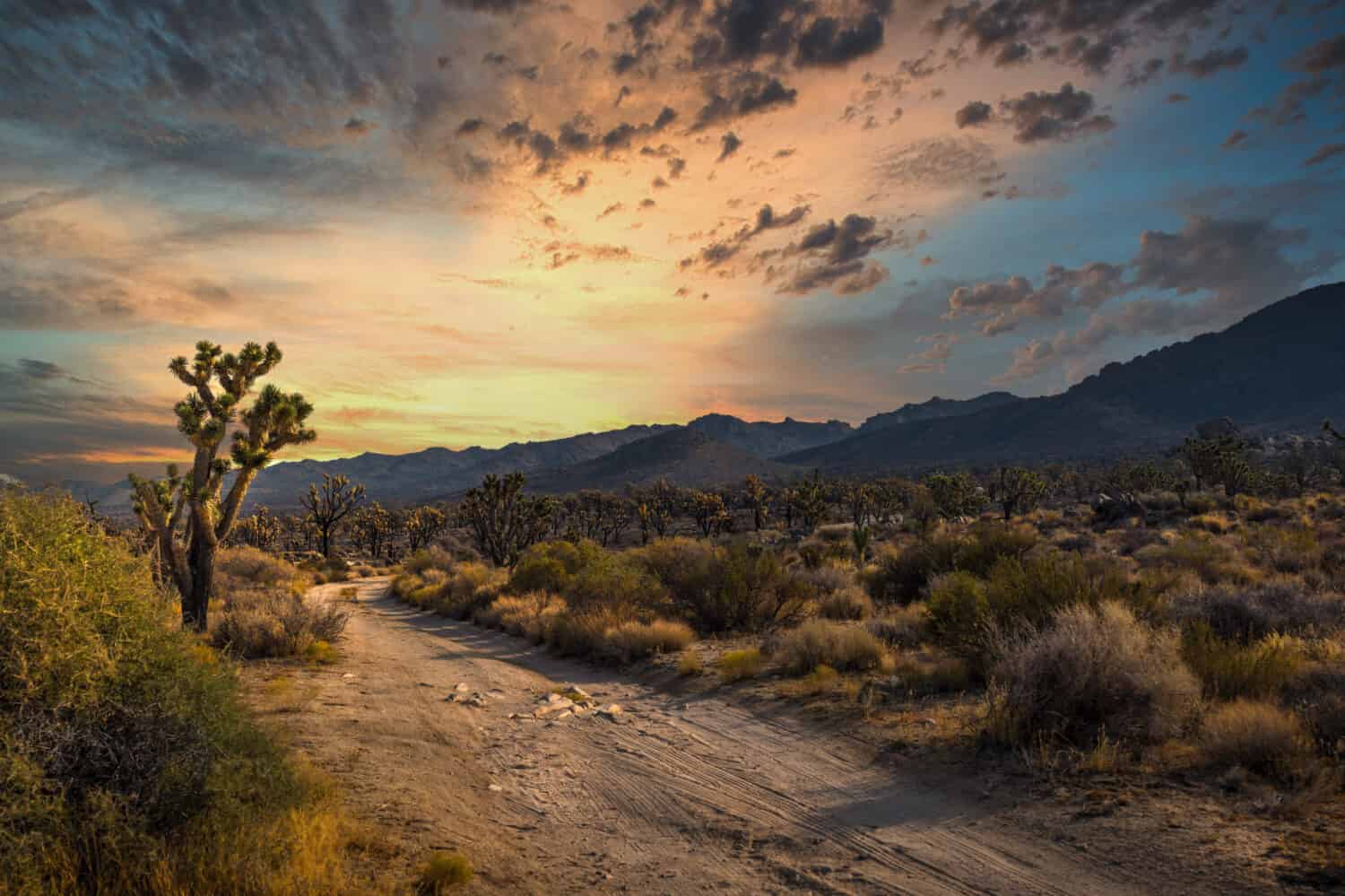
The Pacific Crest Trail in California passes through over 700 miles of desert-like conditions.
©David P. Smith/Shutterstock.com
California Has the Most Sections With the Scarcest Water Supplies on the Pacific Crest Trail
The Pacific Crest Trail presents various challenges along its path, and one of the most daunting is the scarcity of water in the Southern California section. This region is notorious for being the hardest to acquire water, where water sources are few and far between.
The Southern California section of the PCT, particularly along the first 700 miles, presents, at times, a harsh environment with limited water sources. Hikers often encounter long stretches upwards of (48.3 kilometers (30 miles) where access to water is nonexistent. Preparedness, knowledge, and experience with hiking dry stretches are critical for safely crossing these dangerous sections. They should only be attempted by those who meet this criteria and can carry large amounts of water. Furthermore, it is worth noting that seasonal water sources, water tanks, and faucets can run dry. Thus, hikers should not depend on these sources for their water supplies and should keep tabs on the PCT Water Report.
Moreover, this region’s dry conditions can lead to extreme dehydration and heat-related issues for hikers. Daytime temperatures regularly exceed 37.8 degrees Celcius (100 degrees Fahrenheit), intensifying the need for reliable water sources, desert-smart hiking strategies, and contingency plans for safety.
Safety and Planning
To stress the point further, hikers must carefully plan their water resupply points and carry sufficient water to endure the challenging stretches. Knowledge of reliable water caches, seasonal availability, and the use of water purification methods are vital for survival.
In response to the water challenges, dedicated individuals and organizations have established water cache programs to assist PCT hikers. These caches are strategically placed to help hikers navigate the most water-scarce sections.
The Pacific Crest Trail passed through the Mojave Desert in California.
©GypsyPictureShow/Shutterstock.com
Unique Terrain
The California section of the Pacific Crest Trail is a diverse and captivating landscape. It encompasses a wide range of terrains, environments, flora, and fauna. This iconic trail offers hikers a remarkable journey through the natural wonders of the Golden State.
Environments and Terrain
The journey begins in the desert, featuring vast expanses of arid terrain, sandy washes, and canyons. Hikers must contend with extreme temperatures and limited water sources in this section.
As hikers progress northward, they encounter the awe-inspiring beauty of the Sierra Nevada Mountains. This region boasts towering granite peaks, turquoise alpine lakes, and various challenging mountain passes.
The trail continues through northern California, passing through various national parks such as Lassen Volcanic National Park. Further north, the PCT enters the southernmost tip of the Cascade Range. All of which travel through mountainous landscapes with forests, meadows, lakes, rivers, and more.
Flora and Fauna
The trail showcases a variety of plant species. Species include the iconic Joshua trees and Mojave yucca in the desert to conifers like the foxtail pine in the higher elevations. Wildflowers, including lupines and Coast Indian paintbrush, paint the landscape with vibrant colors during the spring and summer.
The California section of the PCT is home to a diverse array of wildlife. Hikers may encounter California mule deer, black bears, mountain lions, and bobcats. Birdwatchers can spot golden eagles, red-tailed hawks, and the endangered California condor. The rare Sierra Nevada bighorn sheep roam the alpine meadows in the Sierra Nevada Mountains.
Overall, the California section of the Pacific Crest Trail offers hikers a captivating journey through diverse landscapes. This section ranges from the scorching deserts of the south to the rugged mountains of the central and northern regions. This trek exposes adventurers to a rich tapestry of flora and fauna, showcasing the natural beauty and ecological diversity.
The Pacific Crest Trail in California is known for its desert environment. However, roaring rivers and swelled streams are also common, particularly in the northern region.
©DCrane/Shutterstock.com
Dangers of the Pacific Crest Trail’s Southern Terminus: Campo, CA
The beginning of the Pacific Crest Trail, or the southern terminus, in Campo, CA, a small town near the Mexican border, poses a unique set of dangers primarily linked to human activity. While the terrain itself is also inherently dangerous, challenges that arise from human activity are most prevalent.
Border Security
The PCT’s southern terminus is located near the U.S.-Mexico border. This area is subject to intense border security efforts. Hikers near this region may encounter Border Patrol agents, security checkpoints, and surveillance activities. All of these activities have the potential to be unsettling and potentially pose safety concerns.
Illegal Border Activity
Moreover, the proximity to the border makes this area a common point of entry for individuals attempting to cross into the United States illegally. Hikers may inadvertently encounter individuals engaged in these activities. Or they might encounter Border Patrol agents searching for such individuals. Each of these can lead to unpredictable and potentially dangerous situations.
Remote Desert Start
The PCT begins in a remote desert landscape, where access to emergency services or resources may be limited. Moreover, temperatures can reach dangerous levels in the desert. Hikers must be well-prepared and self-reliant, as help may not be readily available in case of emergencies.
Extreme Heat and Water Scarcity
The desert terrain of the first 700 miles of the PCT in California presents the danger of extreme heat. Hikers can face scorching temperatures that pose risks of dehydration and heat-related illnesses. Furthermore, California’s southern portion of the PCT is notorious for its limited water sources. Hikers must plan meticulously and carry sufficient water to endure long stretches without access to hydration.
The Pacific Crest Trail near Campo, CA, poses unique dangers one might not expect at first glance. The complex interplay of human activities and border security challenges in the region, in addition to the challenges of the desert environment, make the southern terminus one of the more dangerous sections of the PCT. Hikers embarking on their PCT journey from this point must be aware of these unique challenges. Furthermore, they must exercise caution and preparedness to ensure their safety.
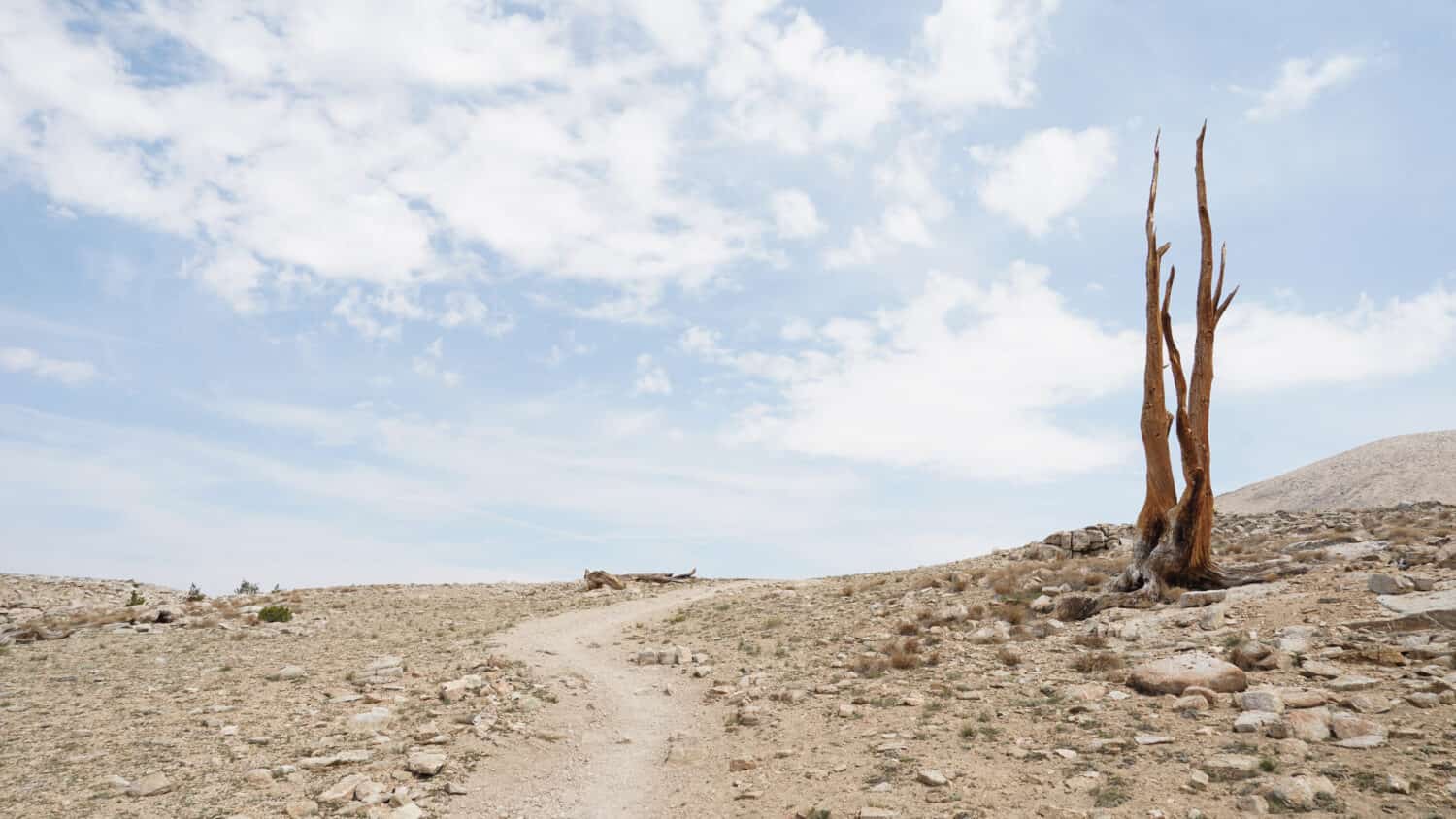
The highest point on the Pacific Crest Trail is Forester Pass in California.
©chrisontour84/Shutterstock.com
List of Facts About the Pacific Crest Trail in California
| Number | Fact |
|---|---|
| 1 | California Is the Longest Region of the Pacific Crest Trail With the Most Sections |
| 2 | The Highest Point of the Pacific Crest Trail is in California |
| 3 | California is the Longest State Section to Hike on the Pacific Crest Trail |
| 4 | Tribal Lands, National Forests, National Parks, and State Parks |
| 5 | The Sierra Nevada Mountains |
| 6 | California Has the Hottest and Driest Sections on the Pacific Crest Trail |
| 7 | California Has the Most Sections With the Scarcest Water Supplies on the Pacific Crest Trail |
| 8 | Unique Terrain |
| 9 | Dangers of the Pacific Crest Trail’s Southern Terminus: Campo, CA |
The photo featured at the top of this post is © GypsyPictureShow/Shutterstock.com


How to Add Us to Google News


Thank you for reading! Have some feedback for us? Contact the AZ Animals editorial team.