

Most of the driest states in the United States are found in the southwest. According to some climatologists, climate change will make this area considerably drier and warmer in the future. Temperature and rainfall changes will negatively influence agriculture and contribute to more frequent and lengthier droughts, putting additional demand on existing water supplies in this part of the country.
The United States of America is the world’s fourth-largest country, following China. Because of the country’s large size, rainfall volume and consistency vary widely. While some states receive far more rain than others, some are dry, receiving only a few inches of rain every month. But among these states in the southwest, which of them are the driest? Below, we will explore the 10 driest states in the US, their climate, and how the upcoming droughts might affect the states in the following years.
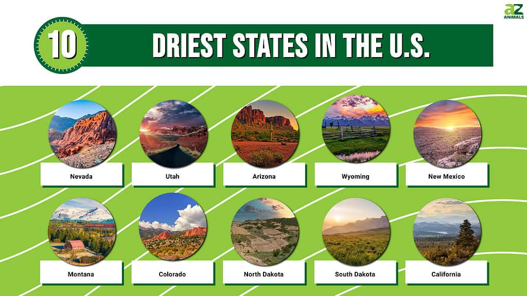
The 10 Driest States in the United States
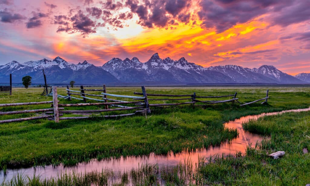
10. California – 22 inches of rain per year
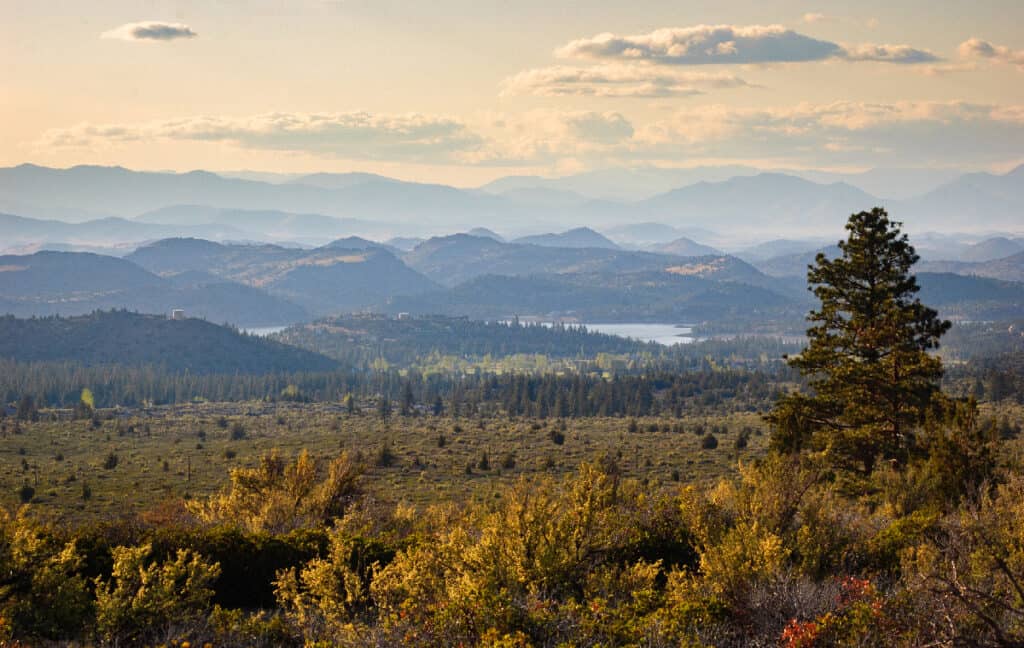
Receiving only 22 inches of rain per year, California is the tenth driest in the United States.
©Zack Frank/Shutterstock.com
California is the tenth driest in the country, receiving only 22 inches of precipitation every year. The weather in the home state of Hollywood is moderate all year because of its Mediterranean environment. Its coasts receive an average annual rainfall of about 10 inches, while the inland hills receive more than 33 inches. Rainfall in the area maintains a seasonal pattern, with most rain falling around December and March.
According to scientists who studied the previous climate in the region, the present megadrought is the driest two-decade span in at least 1,200 years. According to their models, it will likely continue this year and possibly longer.
9. South Dakota — 19.1 inches of rain per year
South Dakota is the driest state in the US, with an average rainfall of 19 inches.
©iStock.com/Niklas Juritsch
North and South Dakota have the driest winters in the country. South Dakota is the driest state in the US, with an average rainfall of 19 inches. The state is located in the Northern Great Plains, bordering the humid eastern and semi-arid western United States. The state endures enormous high temperatures due to its location in the interior of the North American continent, far from the cooling influences of the oceans.
The inhabitants of South Dakota experienced severe droughts throughout the decade, and almost a third of the state suffered scorching temperatures. However, by 2020, the state’s climate had improved, with significantly higher rainfall.
8. North Dakota — 17 inches of rain per year
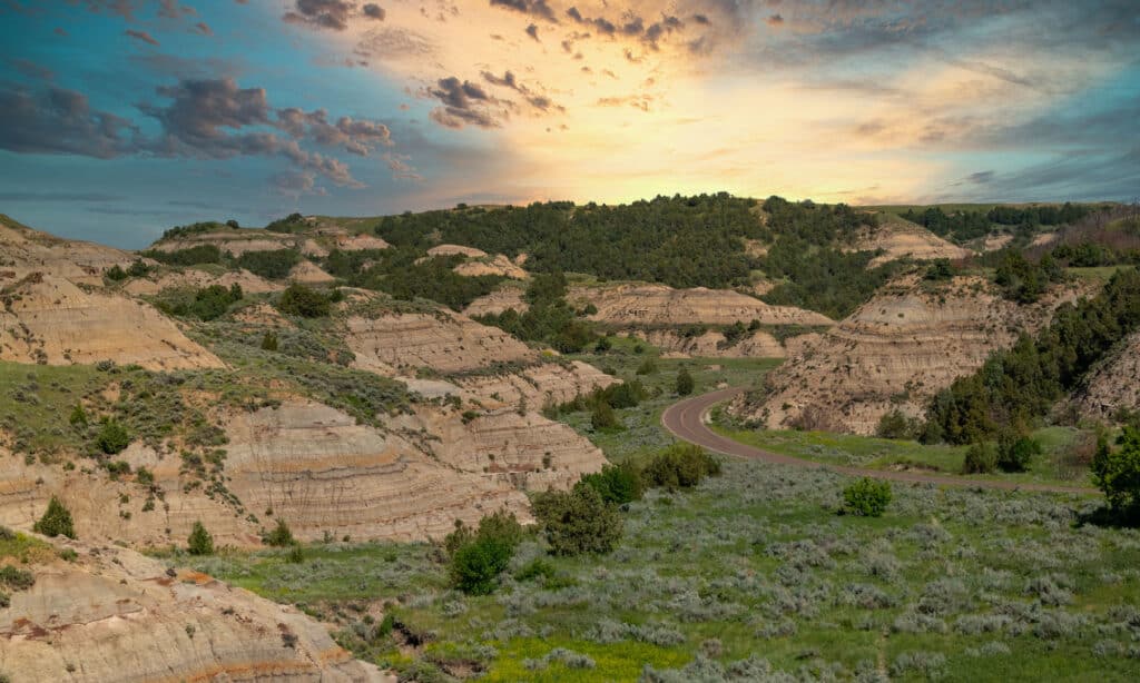
One of the driest states in the United States is North Dakota.
©iStock.com/Tammi Mild
North Dakota is among the driest states in the US, receiving 17 inches of rain each year. Precipitation humidity changes from moist east to semi-arid west. As a result, from east to west, rainfall and moisture decrease, whereby the rain in the east is higher than in the west. The state has a different weather system for various regions, with yearly average rainfall ranging from 14 to 22 inches.
Because of its central location in North America, North Dakota sees temperature variations typical of a continental climate, with freezing winters and scorching summers.
7. Colorado — 17 inches of rain per year
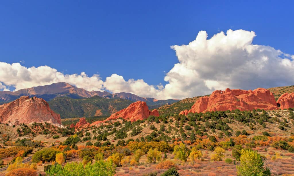
Colorado often receives 15 to 20 inches of rain annually.
©iStock.com/William Reagan
With various fluctuations in Colorado’s weather pattern, the state often receives 15 to 20 inches of rain annually, which averages to about 17 inches, making the state a close running competition with North Dakota when it comes to rank. Precipitation in Colorado takes several forms, including rain, snow, and hail, and the volume varies seasonally, annually, and by region. The average rainfall across the state is around 17 inches per year. However, this average varies significantly throughout the state due to diverse geographical factors. For instance, if the low-lying areas are close to the highlands, moisture that did not precipitate in the mountainous regions will fall on nearby lower-altitude areas.
6. Montana — 15.2 inches of rain per year
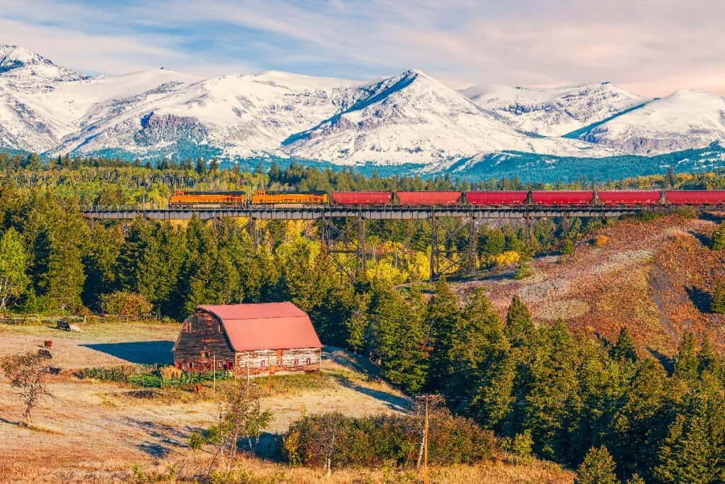
Montana is America’s sixth driest state.
©VIKVAD/Shutterstock.com
With an annual rainfall of 15.2 inches, Montana is America’s sixth driest state. Because of its position and high temperatures, Montana is prone to droughts. However, due to differences in topography, geology, and elevation in different sections of the state, the climate varies significantly.
When there is a significant risk of wildfire, the weather center informs residents. The risk is greatest in August when the highest temperature exceeds 95 degrees Fahrenheit. Montana receives an average of 15.2 inches of rain per year, with substantial variances between the west and east due to rain shadow zones created by steep mountain ranges.
5. New Mexico — 13.85 inches of rain per year
©iStock.com/Sean Pavone
New Mexico, located in the southwest of the United States, features a wide range of climates. Large areas of high plains, deserts, and mountains run through the state. New Mexico has one of the driest climates in the country, with an average annual precipitation of 13.85 inches. Precipitation, on the other hand, tends to rise with elevation. The higher mountains receive about 40 inches of rain, while lower places receive only 8 to 10 inches. New Mexico’s hot temperature has long been one of its most appealing features, particularly for retirees and people seeking treatment for respiratory and other problems.
4. Wyoming — 12.68 inches of rain per year
The least populated state in the United States is Wyoming.
©iStock.com/SeanXu
Wyoming, nestled in the United States’ mountain area, is the country’s fourth driest state, receiving 12.68 inches of precipitation each year. It also has the lowest population in the country. Because it is located in America’s mountainous region, it sees significant temperature extremes. Wyoming’s climate varies from semi-arid to continental, with more dramatic temperature swings than the rest of the country. The state receives the most precipitation between late spring and early summer, classifying Wyoming as a real desert.
3. Arizona — 12.6 inches of rain per year
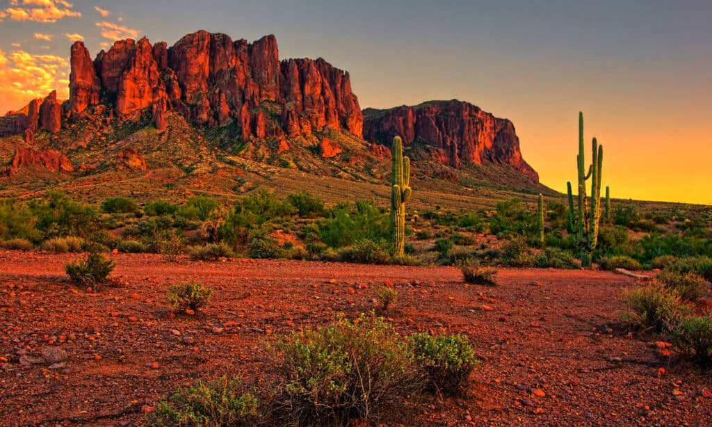
Arizona gets 12.6 inches of rainfall every year.
©iStock.com/jenifoto
Situated in the southwest, Arizona’s climate is not homogeneous and varies greatly within the state due to its enormous area and various elevations. The state gets only 12.6 inches of yearly rainfall and 0.9 inches of monthly precipitation. Although rain falls in both the summer and winter seasons, July is the wettest month in the state. Summer runs from June to September, and winter runs from November to February. The climate of Arizona is arid and semi-arid, with yearly precipitation varying from 3 inches in Yuma to roughly 40 inches in the White Mountains.
2. Utah — 11 inches of rain per year
The wettest month in Utah is in April.
©Sarah Quintans/Shutterstock.com
Utah was the third-driest state for decades. However, it has been the second-driest state in the US for the past three years. The state’s climate is dry with little humidity, wherein annual precipitation averages 11 inches, fluctuating from less than 8 inches to 50 inches in various areas and elevations. Utah’s climate ranges from semi-arid to desert, with scorching summers and freezing winters. The climate also varies depending on elevation caused by multiple mountains throughout the state. Rainfall occurs the most in April due to the Pacific Ocean’s effect.
1. Nevada — 10.2 inches of rain per year
The driest state in the United States is Nevada.
©iStock.com/Pengcheng Zhu
Nevada is the driest state in the US, receiving about 10.2 inches (241 mm) of rain every year. According to data collected since 1938, Las Vegas receives slightly less than 4.2 inches of rain per year on average. The state’s elevations range from fewer than 500 feet in the hot lowlands to more than 13,000 feet in the frigid alpine forests of the north. Nevada has 26 days of precipitation each year, with 5 inches of rain each rainy day, compared to the yearly national average of 38 inches. Snowfall is very uncommon in the state, with only 0.3 inches on average per year, compared to an average of 28 inches across the country.
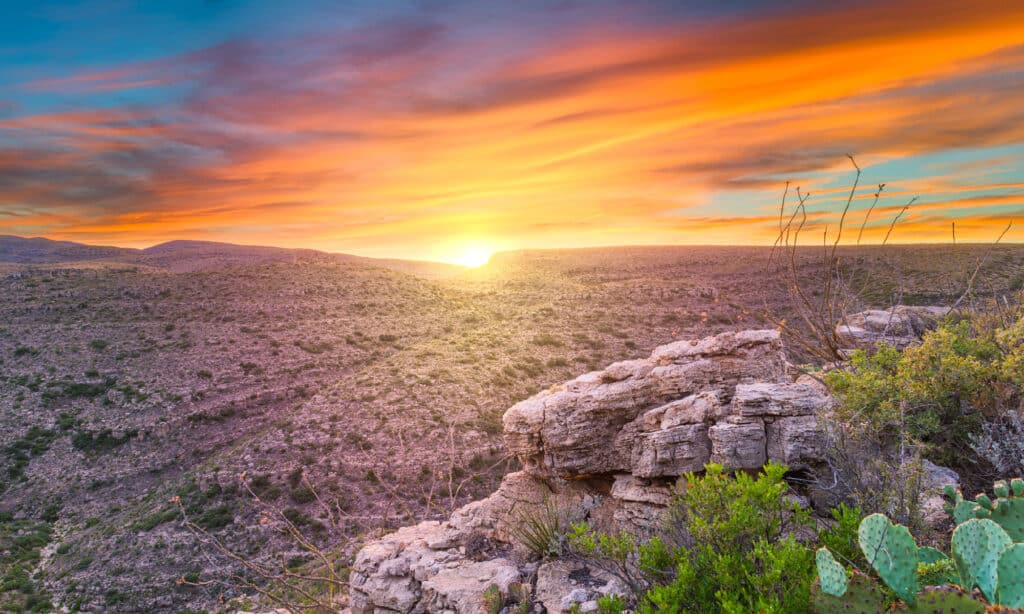
What Causes Drought in the American Southwest?
Much of the west lies in the rain shadow of the Sierra Nevada and other significant ranges, which contributes to the large-scale drought pattern. Due to coastal mountains that prevent moisture from reaching the interior, the Pacific Northwest is very wet, whereas the Southwest is utterly dry. The ground and air temperatures rise as it gets scorched in the region. Thus, many of those temperature records were reached during droughts. Water reservoir supplies are also low because of the lack of snowfall in Colorado and Arizona.
The Ripple Effects of Drought in the Southwest
The American Southwest may conjure up ideas of a hot, arid landscape. Certainly, much of this region has a desert climate due to little yearly rainfall and high temperatures throughout the year. Despite this, the Southwest maintains a diverse range of flora and animals and millions of humans who call it home. Water is required for all of these plants, animals, and people to survive.
Water is already in short supply in the Southwest, so each drop counts. Residents of the Southwest rely heavily on surface water resources such as Lake Mead, which are susceptible to evaporation. In a highly arid environment, even a minor increase in temperature or decrease in rainfall might endanger natural systems and society. Droughts can contribute to an increase in bug outbreaks and wildfires, both of which harm local economies, as well as a reduction in the quantity of water available for energy generation.
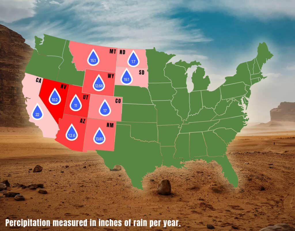
Summary Of The 10 Driest States In The United States
| Rank | State | Annual Rainfall |
|---|---|---|
| 1 | Nevada | 10.2 inches |
| 2 | Utah | 11 inches |
| 3 | Arizona | 12.6 inches |
| 4 | Wyoming | 12.68 inches |
| 5 | New Mexico | 13.85 inches |
| 6 | Montana | 15.2 inches |
| 7 | Colorado | 17 inches |
| 8 | North Dakota | 17 inches |
| 9 | South Dakota | 19.1 inches |
| 10 | California | 22 inches |
Honorable Mention: Other Driest States
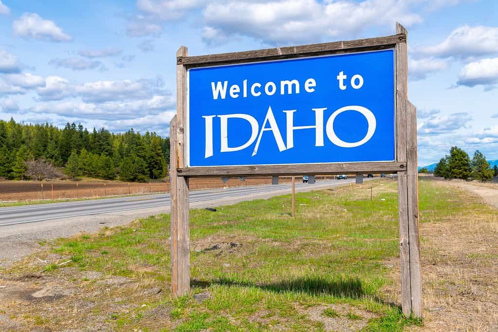
Idaho has an annual rainfall of almost 19 inches, which varies throughout the state.
©Kirk Fisher/Shutterstock.com
At certain times, when it rains in your area, it might seem like your area might be the wettest and at the opposite end, when you receive minimal to no rain, it may seem like your region is the driest – but what areas actually fall into these top categories? We’ve already listed the top driest states, but there are still other states that still do not have as significant an amount of rainfall as others. Rainfall varies depending on location and may be more abundant in certain regions of each state. Take a look a these honorable mentions:
- Florida – the Sunshine State is like many of the states listed – the rainfall varies greatly by region. While its overall rainfall is still rather low, averaging only 54 inches per year, there are certain regions, like the Panhandle and the southeastern coast, that experience a greater percentage of rain and are considered the wettest parts of the state. One of the drier regions is The Florida Keys, which see about 40.44 inches per year.
- Nebraska – the Cornhusker State lies in the central Great Plains and the annual average rainfall varies depending on what region you are in. There are two definitive regions – the southwest, where there is quite ample precipitation, which garnered around 34 inches of rainfall annually, and the panhandle, which has rather semi-arid conditions and only garnered 17 inches. Winters are relatively dry, while the spring brings rainier climates.
- Idaho – the Gem State has four seasons that are distinct to each region of the state but do not occur all at the same time. The state, on the whole, has low humidity, and depending on where you live, precipitation can be higher or lower. Boise only sees averages of 12.2 inches, and the southern portion of the state sees slightly more, with 13 inches. However, the northern regions get 30 inches of precipitation.


How to Add Us to Google News


Thank you for reading! Have some feedback for us? Contact the AZ Animals editorial team.