
Massachusetts is located in the northeast United States. It is the second-largest of the six New England states but still ranks among the smallest states in the nation overall. Here is a look at the size of Massachusetts and how it compares with the areas of other states, plus a lot more information about the Bay State.
Square Miles and Kilometers
Massachusetts’ total area spans 10,554 square miles or 27,336 square kilometers. However, over 26% of that area is covered by water. Only Hawaii, Michigan, and Rhode Island have a higher percentage of water coverage.
With 2,754 square miles (7,134 square kilometers) of water, that leaves Massachusetts with only 7,800 square miles (20,202 square kilometers) of land area.
Acres
An acre is roughly the size of an American football field without the end zones. One square mile is equivalent to 640 acres. Massachusetts is 6,754,560 acres in size.
Length and Width of Massachusetts
Massachusetts stretches about 110 miles from north to south. This is relatively close to the north-to-south measurement of Delaware, which spans 96 miles.
The east-to-west distance in central Massachusetts is 115 miles. Connecticut has a similar width of 110 miles from east to west.
Massachusetts widens in the south to about 190 miles but then narrows significantly in the southeastern section of the state. The state’s width drops below 60 miles around Buzzards Bay.
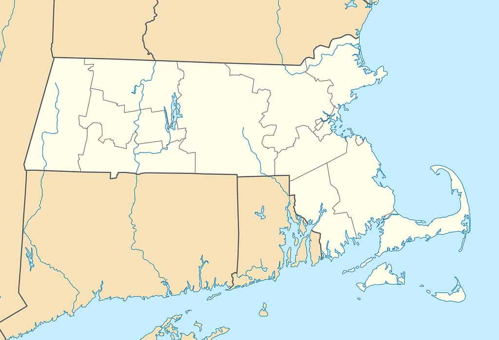
Massachusetts’ irregular shape makes it difficult to calculate the length and width of the state.
©Alexrk2 / CC BY 3.0 – License
Comparisons with Other States
While Hawaii and Massachusetts are not exactly close geographically (they are separated by over 5,000 miles), the two states are quite close in terms of size. Hawaii is only 378 square miles (979 square kilometers) larger than Massachusetts in terms of total area. However, Massachusetts has 1,377 square miles (3,566 square kilometers) more land area than Hawaii.
New England States
Maine is the largest state in New England. The Pine Tree State is well over three times the size of Massachusetts. Massachusetts outsizes all the other New England states, though.
The Bay State is 938 square miles larger than Vermont, over 1,200 square miles bigger than New Hampshire, more than 5,000 square miles bigger than Connecticut, and 9,340 square miles larger than Rhode Island. Connecticut and Rhode Island could both fit inside Massachusetts. In fact, there would still be room for another three Rhode Islands.
Smallest U.S. States
Massachusetts is the seventh-smallest state in the U.S. overall. Only New Jersey, Delaware, and the four New England states listed above have smaller total areas than Massachusetts.
- Massachusetts – 10,554 square miles (27,336 square kilometers)
- Vermont – 9,616 square miles (24,905 square kilometers)
- New Hampshire – 9,349 square miles (24,214 square kilometers)
- New Jersey – 8,723 square miles (22,592 square kilometers)
- Connecticut – 5,543 square miles (14,356 square kilometers)
- Delaware – 2,489 square miles (6,446 square kilometers)
- Rhode Island – 1,214 square miles (3,144 square kilometers)
Biggest U.S. States
Alaska is the largest state in the U.S. by far, at 665,384 square miles (1,723,337 square kilometers). Alaska is over 63 times the size of Massachusetts.
Texas is the biggest of the contiguous 48 states. With a total area of 268,597 square miles (695,663 square kilometers), the Lone State State is well over 25 times larger than Massachusetts.
California outsizes Massachusetts by 15.5 times, Montana by nearly 14 times, and New Mexico by 11.5 times.
Percentage of U.S. Area
Massachusetts accounts for only 0.28% of the total area of the United States. However, that seems like quite a lot compared to Rhode Island, which accounts for a minuscule 0.04% of the total U.S. area.
Texas contains an impressive 7.07% of the nation’s area, but no state comes close to Alaska, which encompasses a shocking 17.48% of the total area of the United States.
State Borders
Massachusetts borders five U.S. states. New Hampshire and Vermont border Massachusetts to the north, Connecticut and Rhode Island to the south, and New York to the west. The Atlantic Ocean and the Gulf of Maine border Massachusetts to the east.
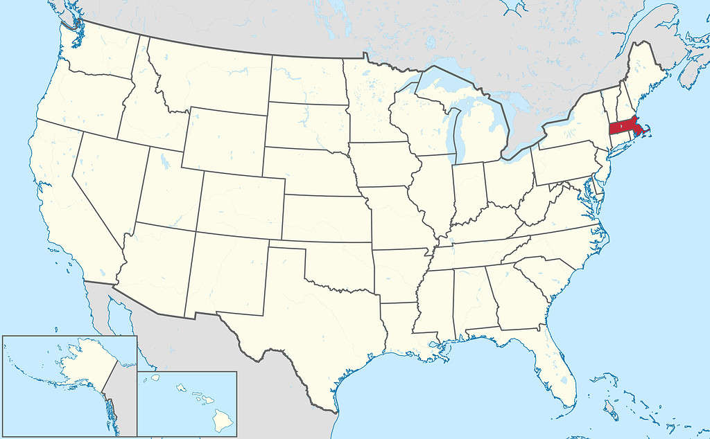
Massachusetts borders five states.
©TUBS / CC BY-SA 3.0 – License
Population
With 6,981,974 residents (U.S. Census Bureau 2022 estimate), Massachusetts is the most populous state in New England and the 16th most populous state in the nation overall.
Tennessee has the most comparable population numbers to Massachusetts. The Volunteer State has 69,365 more residents than Massachusetts.
The most populous state in the U.S. is California, with 39,029,342 residents. The population of the Golden State is more than five and a half times that of Massachusetts. In fact, Los Angeles County alone has over 2.7 million more residents than the state of Massachusetts.
Wyoming has the smallest population of any state, with 581,381 residents. Even though Wyoming is 9.25 times the size of Massachusetts in terms of total area, the Bay State’s population is more than twelve times larger than Wyoming’s. In fact, the city of Boston alone has more residents than the entire state of Wyoming.
Population Density
Massachusetts’ population is quite large, given its rather small area. It is one of the most densely populated states in the nation. Population density is measured by the number of people per square mile of land area. The population density of Massachusetts is 901 people per square mile, making it the third most densely populated U.S. state. Only New Jersey (1,263 people per square mile) and Rhode Island (1,061 people per square mile) have greater population densities than Massachusetts. Though not a state, the U.S. territory of Puerto Rico has a similar population density as Massachusetts, with 960 people per square mile.
Not surprisingly, Alaska is the least densely populated state. Its immense size and small population give the state a population density of just 1.3 people per square mile. Wyoming has the lowest population density in the conterminous U.S., with 5.9 people per square mile.
Largest Cities
Massachusetts has nine significant cities (populations over 100,000). Boston is the state’s capital and its largest city by far, with 650,706 residents. The Greater Boston metropolitan area is home to 4.9 million people, making it the eleventh largest metropolitan area in the country. It is also the second-oldest state capital in the nation.
While Worcester is Massachusetts’ second largest city with 205,319 residents, it is outsized by Boston by over 2.5 times.
The other major cities in Massachusetts include Springfield (154,064 residents), Cambridge (118,488 residents), Lowell (113,608 residents), Brockton (104,826 residents), Quincy (101,727 residents), Lynn (100,891 residents), and New Bedford (100,682 residents).
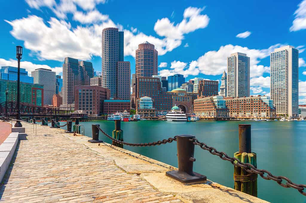
Boston is the largest city in Massachusetts by a wide margin.
©Travellaggio/Shutterstock.com
Counties
There are 14 counties in Massachusetts, though more than half of the county governments were abolished between 1997-2000.
Worcester County is the largest county in terms of total area. The county covers 1,513 square miles (3,919 square kilometers). Worcester County is bigger than the state of Rhode Island.
The island county of Nantucket in southeast Massachusetts is the smallest county at just 48 square miles (124 square kilometers).
The most populous county in Massachusetts is Middlesex County, with 1,617,105 residents. It is also the most populous county in all of New England and the 22nd most populous county in the nation.
Nantucket County is not only the state’s smallest county by size but also its least populous, with 14,421 residents.
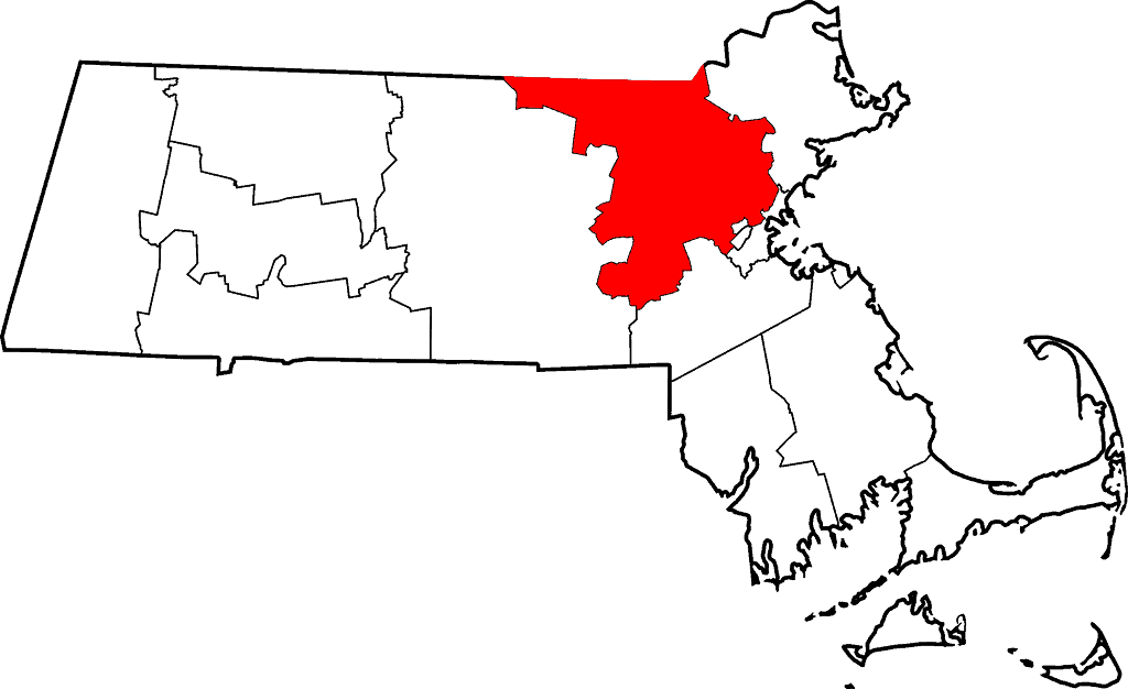
Middlesex County is the most populated county in the state.
©David Benbennick / Public domain – License
Public Lands
The history of Massachusetts runs deep and is preserved through numerous federally managed sites, including:
- Adams National Historical Park
- Blackstone River Valley National Historical Park
- Boston National Historical Park
- Boston African American National Historic Site
- Frederick Law Olmsted National Historic Site
- John Fitzgerald Kennedy National Historic Site
- Longfellow House Washington’s Headquarters National Historic Site
- Lowell National Historical Park
- Minute Man National Historical Park
- New Bedford Whaling National Historical Park
- Salem Maritime National Historic Site
- Saugus Iron Works National Historic Site
- Springfield Armory National Historic Site
- Washington-Rochambeau Revolutionary Route National Historic Trail
The National Park Service also manages the Cape Cod National Seashore.
Along with these federal lands, there are dozens of state parks and state forests. Over 63% of the state’s land is forested, which is rather surprising given the state’s high population density.
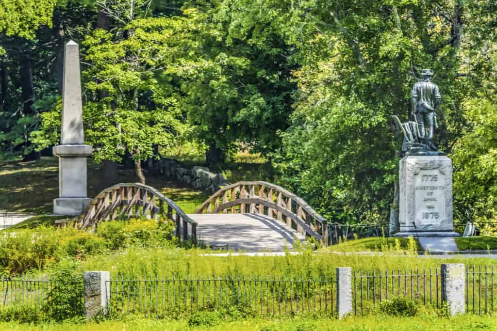
Minute Man Historical Park is one of the many historical parks and sites managed by the National Park Service in Massachusetts.
©iStock.com/bpperry
State Animals
Massachusetts legislators have chosen nine state animals that represent the Bay State. Those animals include the following:
- Black-capped chickadee (state bird)
- Tabby (state cat)
- Boston terrier (state dog)
- Atlantic cod (state fish)
- Morgan horse (state horse)
- Ladybug (state insect)
- North Atlantic right whale (state marine mammal)
- Garter snake (state reptile)
- New England Neptune sea snail (state shell)
The photo featured at the top of this post is © Alexrk2 / CC BY 3.0 – License / Original


How to Add Us to Google News


Thank you for reading! Have some feedback for us? Contact the AZ Animals editorial team.