
Florida is one of the most populous states in the United States. It is also the most-visited state by tourists and vacation travelers in the nation. An estimated 61% of U.S. adults have visited Florida at some point in their lives. If you are among them, you may have experienced a seemingly interminable drive through the Sunshine State. Maybe you even heard that ubiquitous road trip question from younger passengers in the backseat: “Are we there yet?” Driving through Florida can certainly take a while. With its peninsular shape, most of Florida is not very wide from east to west, but the state is quite long from north to south. Just how tall is the Sunshine State? Here is your answer.
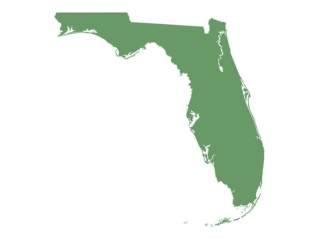
Florida is the 22nd largest state by land area in the U.S.
©Vladimir Molnar/iStock via Getty Images
North-to-South Distance
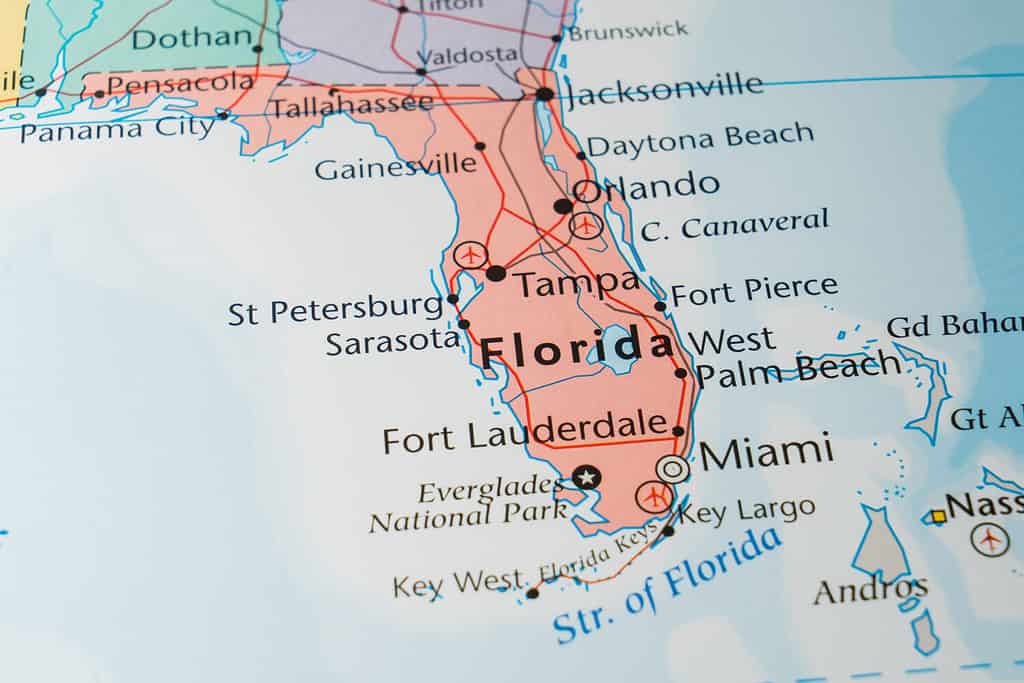
At its tallest point, Florida measures 447 miles from north to south. That measurement is taken from the St. Mary’s River in the north to Key West in the south. While the state is certainly elongated, it doesn’t come close to the north-to-south length of California, which measures over 1,000 miles at its tallest point. Texas also has nearly twice the north-to-south length as Florida.
The distance from the northern Florida Panhandle (the northernmost point in Florida) to Key West is 487 miles as the crow flies, but most of that mileage is across the Gulf of Mexico rather than land. That is almost identical to the length of Idaho from north to south.
The Florida Peninsula is roughly 400 miles long from the St. Mary’s River to the peninsula’s southern tip in the Everglades. The mirrors the north-to-south distance of Minnesota.
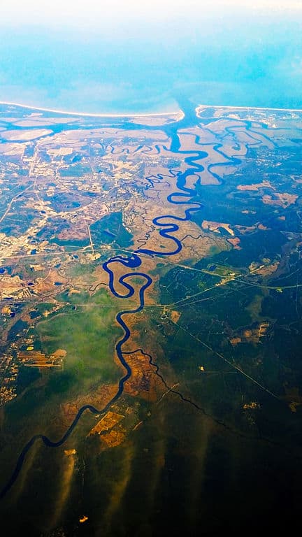
The St. Mary’s River forms part of the border between Florida and Georgia.
©Don Ramey Logan / CC BY-SA 4.0 – License
East-to-West Distance
The widest point in Florida is in the northernmost part of the state. The state stretches 361 miles from the Atlantic Ocean in the east to the Perdido River on the western edge of the Panhandle. That distance is roughly equivalent to the east-to-west width of Wyoming.
The peninsula of Florida is much narrower than the Panhandle, measuring only 160 miles at its widest east-to-west point. That is only slightly wider than the east-to-west measurement of West Virginia.
Florida Drive Times
As mentioned above, Florida is the most-visited state for vacationers in the U.S. If you’re planning a road trip to the Sunshine State, here are some approximate drive times that you can expect.
Driving through the Sunshine State takes some time. Pack your patience!
©Alexander Lukatskiy/Shutterstock.com
Interstates 75 and 95 are the two main north-to-south interstate highways in Florida.
Once you cross into Florida from Georgia on I-95, it will take you roughly 2 ½ hours to drive to Orlando, 3 ½ hours to Tampa, 4 ½ hours to West Palm Beach, and 5 ½ hours to drive to Miami, where the interstate ends.
If you enter Florida from the north on I-75, you can drive from the state line to either Tallahassee or Gainesville in about 90 minutes, Orlando in three hours, Clearwater in just over 3 ½ hours, Fort Myers in just under five hours, Naples in around 5 ½ hours, and the Hialeah/Miami Lakes border in just over six hours where the interstate ends.
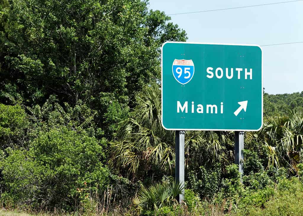
It’s about a 5 1/2 hour drive from the Florida/Georgia border to Miami along I-95.
©Katherine Welles/Shutterstock.com
Florida’s Southerly Location
Florida is the southernmost state in the conterminous United States. Fernandina Beach is the northernmost city on Florida’s Atlantic coast. Florida City is the southernmost city on the U.S. mainland. Key West is the most southerly city in the conterminous U.S.
Hawaii is the most southerly state in the entire nation, and its town of Nā’ālehu is the southernmost incorporated place in the nation. However, when all U.S. territories are included, Futiga in American Samoa is the southernmost town under United States sovereignty.
Turning in the opposite direction, Minnesota is the northernmost state in the Lower 48. The northernmost town, however, is Sumas in Washington State. Alaska is the most northerly state in the nation, and its town of Utqiaġvik is the most northerly incorporated location in the U.S.

Key West is the most southern city in Florida and in the Lower 48 states.
©Stuart Monk/Shutterstock.com
State Borders
Florida borders just two other states: Georgia and Alabama. It is one of only three states that share borders with just two other states. South Carolina borders North Carolina and Georgia, while Washington borders Oregon and Idaho. Maine only borders one state (New Hampshire), while Hawaii and Alaska don’t share borders with any other state.
Missouri and Tennessee have the most shared borders, with each bordering eight other states. Tennessee shares borders with Alabama, Arkansas, Georgia, Kentucky, Mississippi, Missouri, North Carolina, and Virginia.
Missouri borders Arkansas, Illinois, Iowa, Kansas, Kentucky, Nebraska, Oklahoma, and Tennessee.
The border between Perdido Key Beach, Florida and Ono Island, Alabama is surely one of the loveliest state borders in the nation.
©George Dodd III/Shutterstock.com
The photo featured at the top of this post is © gguy44/iStock via Getty Images


How to Add Us to Google News


Thank you for reading! Have some feedback for us? Contact the AZ Animals editorial team.