
Key Points:
- Lake Strom Thurmond is the largest man-made lake in Georgia and lies along the Georgia-South Carolina border within the Savannah River Basin.
- This man-made reservoir contains a total surface area of 71,100 acres or 111.1 square miles.
- The reservoir operates a flood control, navigation, and hydroelectric power project. It’s also a popular recreation lake for fishing, birdwatching, swimming and other water activities.
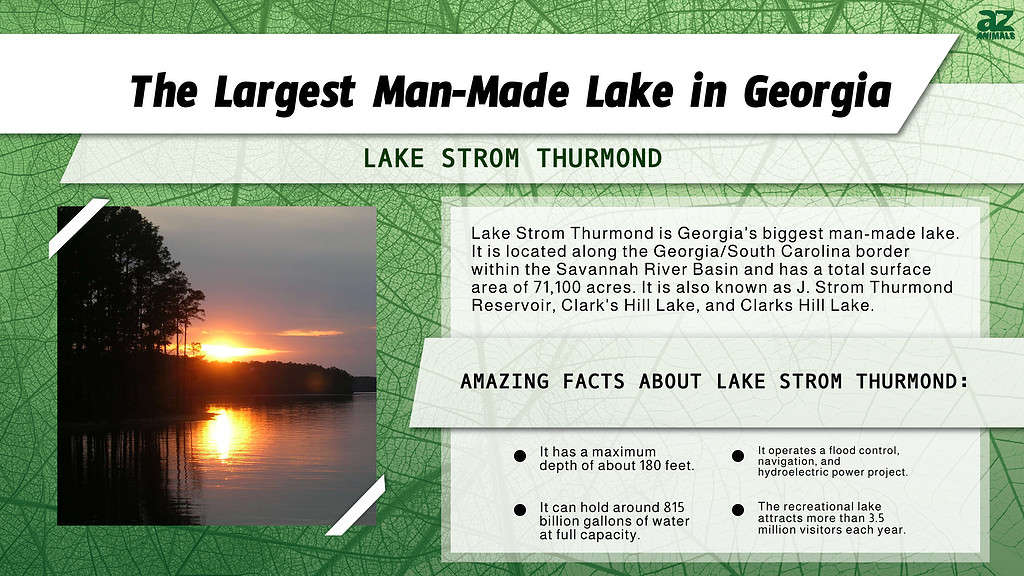
The largest man-made lake in Georgia is Lake Strom Thurmond, also known as Clarks Hill Lake, Clark’s Hill Lake, and J. Strom Thurmond Reservoir and Dam. Lake Strom Thurmond is located along the Georgia/South Carolina border within the Savannah River Basin. This reservoir has a total surface area of 71,100 acres or 111.1 square miles. At that size, this makes Lake Strom Thurmond the third-largest non-natural lake east of the Mississippi River. Officially, the reservoir operates a flood control, navigation, and hydroelectric power project. However, it also serves as a popular recreation lake that attracts more than 3.5 million visitors each year.
Lake Strom Thurmond has a surface elevation of 330 feet and features nearly 1,200 miles of shoreline. Because it follows the flow of the Savannah River, the reservoir measures quite narrow in most places. However, despite its narrow width, the reservoir possesses significant depth, especially for a reservoir its size. Lake Strom Thurmond possesses an average depth of around 37 feet but also boasts a maximum depth of around 180 feet. At full pool elevation, the reservoir can hold nearly 2.5-million-acre feet of water. In other terms, that equals approximately 815 billion gallons of water. When you combine the area of the reservoir and surrounding public lands, the entire Strom Thurmond “project” measures 151,000 acres.
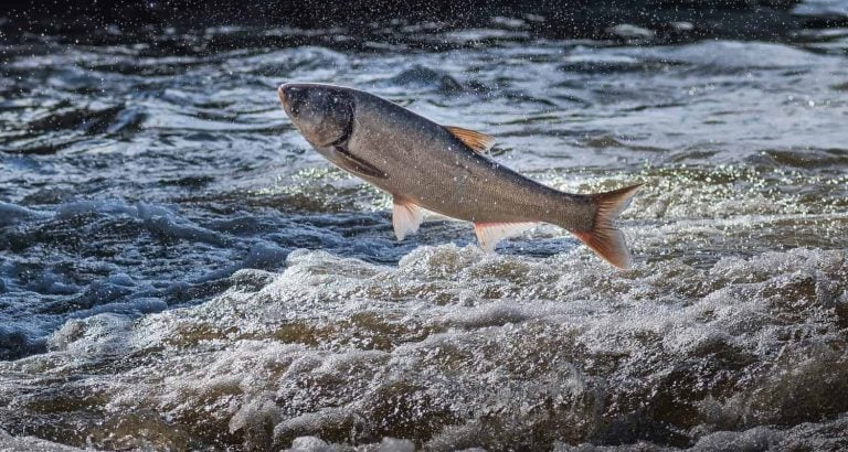
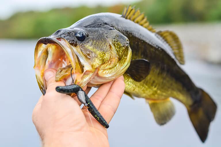
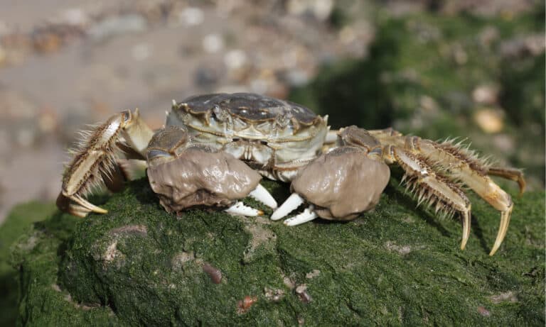
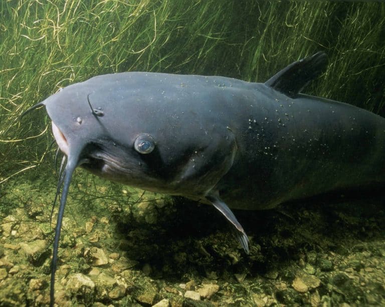
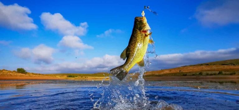
Lake Strom Thurmond acts as an important waterway for the people and animals of Georgia and South Carolina. Numerous plants and animals live within and along the lake’s shores. Some of the species you can encounter in the area include turkey, hog, deer, and quail. Various waterfowl live along the lake, including ring-necked ducks, gadwalls, teal, mallards, wood ducks, and geese. The lake also supports a thriving ecosystem of fish, including largemouth bass, crappie, catfish, striped bass, and bream. Even if fishing and birdwatching aren’t your things, you can visit one of the many parks or beaches along the shoreline or go camping at a public campground. Other popular activities include hiking, swimming, horseback riding, kayaking, sailing, canoeing, jet skiing, and water skiing. Keep reading to discover the history and geography of the largest man-made lake in Georgia.
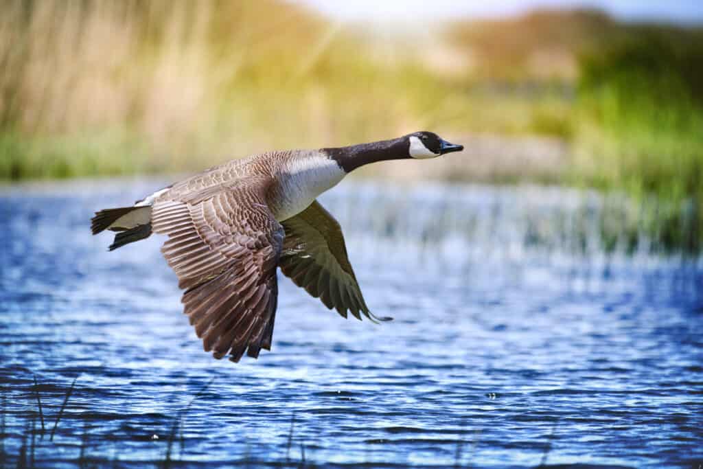
Numerous plants and animals live within and along the lake’s shores, including geese.
©Krasula/Shutterstock.com
History of Lake Strom Thurmond
Before the Reservoir
Before the creation of Lake Strom Thurmond, numerous Native American tribes lived in the area. Some well-known tribes included the Chickasaw, Creek, Yuchi, and Shawnee tribes. The Shawnee also went by the name the Savano tribe, from which the Savannah River gets its name. The Savano later proved instrumental in driving another tribe, the Westos, out of the region. Unlike many other southeast tribes in the late 17th century, the Westos possessed firearms. Originally, South Carolina settlers befriended the Westos and used them as a buffer against Spanish settlements to the south. However, once they grew strong enough, the settlers sought to remove the Westos from the area. Eventually, a group of settlers known as the Goose Creek Men armed the Savano tribe with guns. The resulting Westos War of 1860 ended in the destruction of the Westos and opened up the development of the Savannah River Basin.
Over the next few decades, settlers rapidly developed the land of the Savannah River Basin and Broad River Valley. In fact, the area eventually became home to one of Georgia’s largest towns. Located in the forks of the Savannah and Broad Rivers, Petersburg used to rank as the third-largest town in Georgia. The town was founded by Dionysius Oliver, a Revolutionary War veteran who acquired the town using land grants earned for his wartime service. He petitioned the government to allow him to set up a tobacco inspection warehouse on his property. Soon, Oliver’s small warehouse became the foundation of a thriving frontier community. By 1800, nearly 700 people called Petersburg home. However, the town declined over the next 50 years until only three families remained by 1854. The town now lies at the bottom of the reservoir.
Creation of the Reservoir
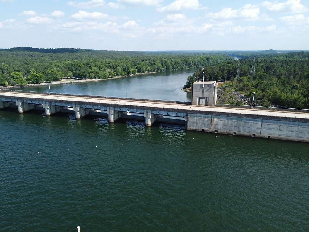
The dam’s power plant can produce nearly 380 MW of electricity annually, which can power upwards of 100,000 homes.
©KontroledKaos/Shutterstock.com
In 1890, the U.S. Army Corps of Engineers advocated for the construction of several dams along the Savannah River. However, it wasn’t until 1944 that the U.S. Congress authorized the construction of the Clarks Hill Dam. The dam was originally designed to control flooding, improve navigation, and provide power throughout the region. Construction of the dam began in 1946 and finished in 1954, while the reservoir was filled between 1951 and 1952. At completion, the concrete-gravity and embankment dam measured 204 feet high and nearly 1 mile long. The dam’s power plant can produce nearly 380 MW of electricity annually, which can power upwards of 100,000 homes. In total, the project cost 78.5 million dollars.
When the project was first drafted, a clerical error listed the name of the dam as the “Clark Hill Dam” instead of the “Clark’s Hill Dam.” The dam’s name honors John Mulford Clark, a successful Augusta businessman, while the lake honors Elijah Clark, a Revolutionary War hero. Regardless, the name “Clark” Hill stuck for 26 years until U.S. Senator Strom Thurmond sponsored legislation to rename the lake and dam to the original “Clark’s” Hill. In 1987, a movement began to rename the dam and lake after the senator in honor of Strom Thurmond’s 85th birthday. The bill quickly passed in Congress, and President Ronald Reagan signed the bill into law on December 23, 1987. However, these changes aggravated Georgia and South Carolina residents, who felt left out of the conversation. While some Georgia legislators attempted to change the name back, the effort failed.
Today, the federal government officially recognizes the dam and lake as the J. Strom Thurmond Reservoir and Dam, respectively. However, the state of Georgia passed a measure in 1989 to officially recognize the lake and dam as “Clark’s Hill.” Moreover, most Georgia and South Carolina residents continue to call the lake and dam “Clark’s Hill” to this day.
Lake Strom Thurmond is one of the 10 most visited Army Corps lakes in the USA.
Where Is Lake Strom Thurmond on a Map?
Lake Storm Thurmond is near the central part of Georgia’s eastern border with South Carolina. The lake rests within several counties, including McCormick County, Lincoln County, and Columbia County. It is around 14 miles away from Clarks Hill, South Carolina.
Lake Strom Thurmond Geography
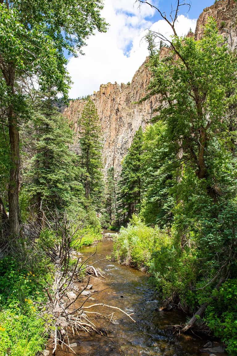
The Savannah, Broad, and Little rivers all feed into the northern end of the lake. Within Georgia, the lake extends 39.5 miles up the Savannah River, 29 miles up the Little River, and 6.4 miles up the Broad River. Across the border in neighboring South Carolina, the lake also extends 17 miles up the Little River. The J. Strom Thurmond Dam impounds the lake on its southern end.
The composition of the land around the lake varies depending on the location. The two most common ecological zones are hardwood bottom and upland pine forests. Lake Strom Thurmond’s hardwood bottom forests consist of deciduous forested wetlands. Meanwhile, the upland pine forests feature widely-spaced pine trees together with various grasses and shrubs. Among the represented species in the area is longleaf pine. Native to the southern United States, the longleaf pine ecosystem ranks as one of the most biologically diverse and important ecosystems in the country. Along with trees, the ecosystem hosts several other rare plant and animal species.
The small town of Clark’s Hill is located on the southern end of the lake on the South Carolina side of the Savannah River. Meanwhile, the major city of Augusta, Georgia, resides just a few miles downstream. Lake Strom Thurmond features numerous points of interest, including marinas, piers, boat ramps, playgrounds, campgrounds, and parks.
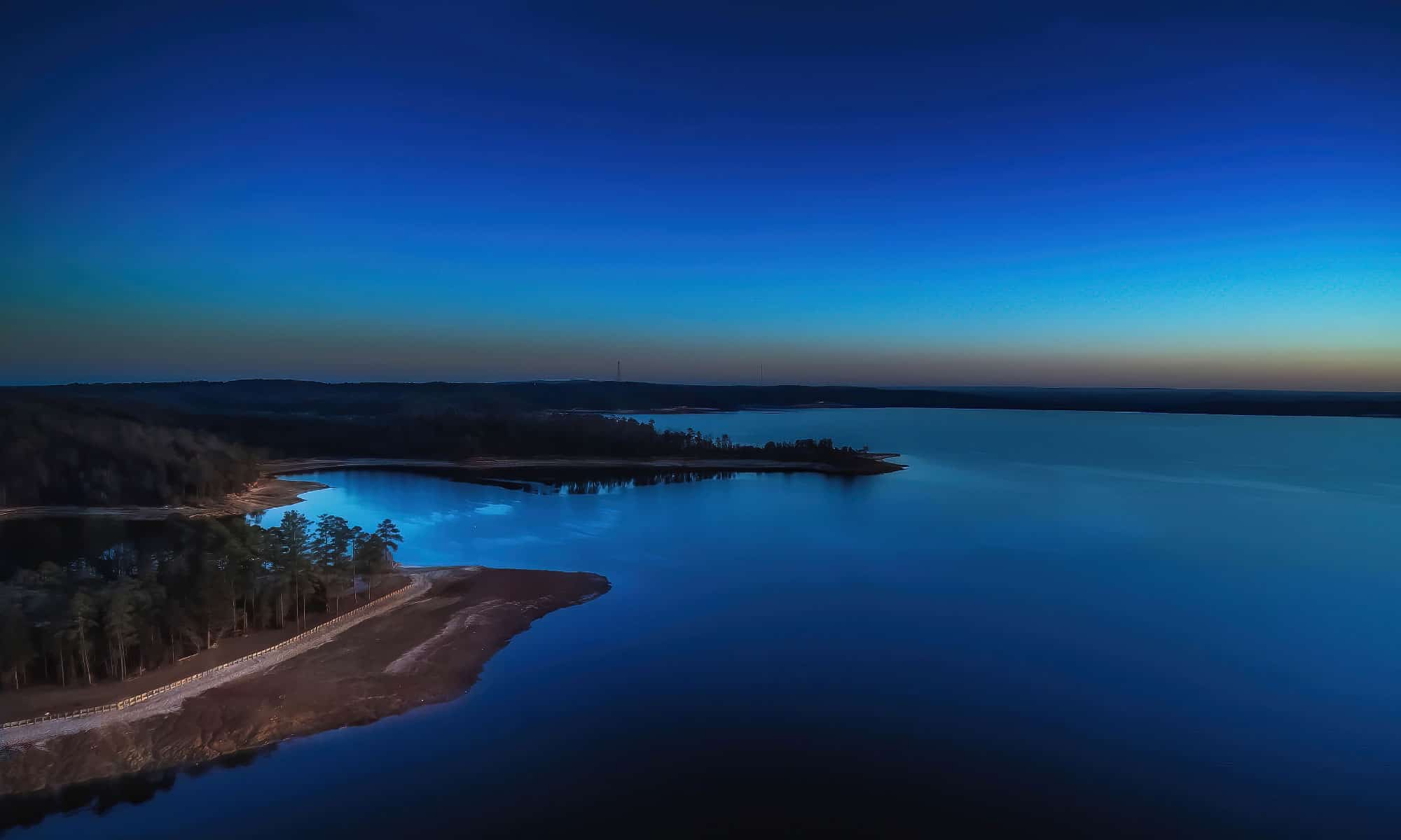
The Savannah River feeds into the north end of Lake Strom Thurmond.
©iStock.com/Allen Allnoch
Lake Strom Thurmond Reviews
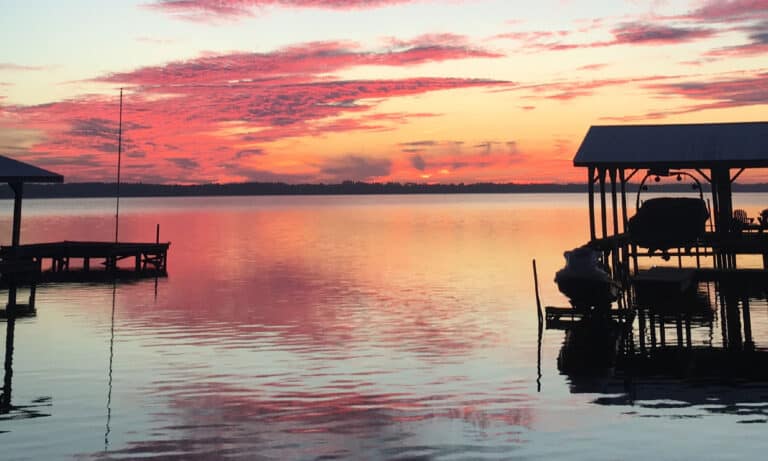
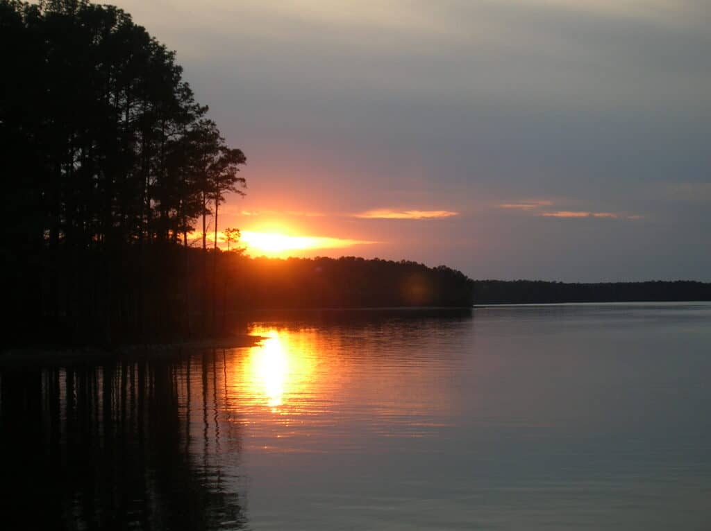
Overall, Lake Strom Thurmond enjoys positive reviews from visitors. Around 3.5 million people visit the lake each year, making it among the 10 most visited lakes operated by the U.S. Army Corps of Engineers in the country. Visitors gush about the beautiful scenery around the lake and the wealth of activities available. The lake features plenty of parking and numerous places to swim or launch a boat. If you enjoy fishing, you’ll appreciate the numerous fishing piers and bank fishing spots along the shoreline. Try visiting the lake near sunset to catch excellent views of the sun over the water.