
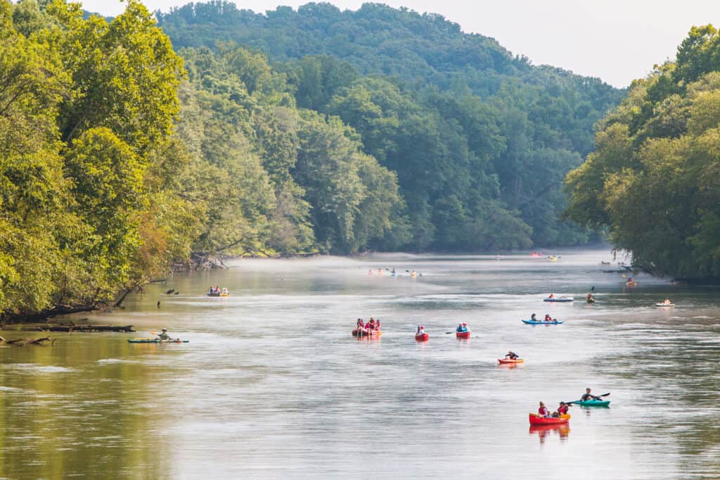
The United States may be a single country, but its land is so vast that not only the people and culture here are diverse, but the habitats, climate, and topography in each state also are. While some parts are cold enough to host winter birds or even bears, some are located further south and capable of nurturing alligators and tarantulas. But despite these differences, most states are interconnected by the country’s vast water systems, such as lakes (the Great Lakes, specifically) and river systems.
Rivers often flow from one state to another, and the United States is home to over 250,000 rivers extending up to 3,500,000 miles. These river systems all contribute to various lakes and dams, ranging from small to huge, providing different uses for residents, from irrigation, hydroelectricity production, drinking water, fishing, recreation, and more. But what rivers flow through or within Georgia? This article enumerates 15 rivers in Georgia you should know about.
14 Rivers in Georgia
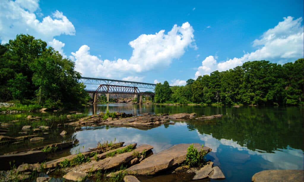
1. Flint River
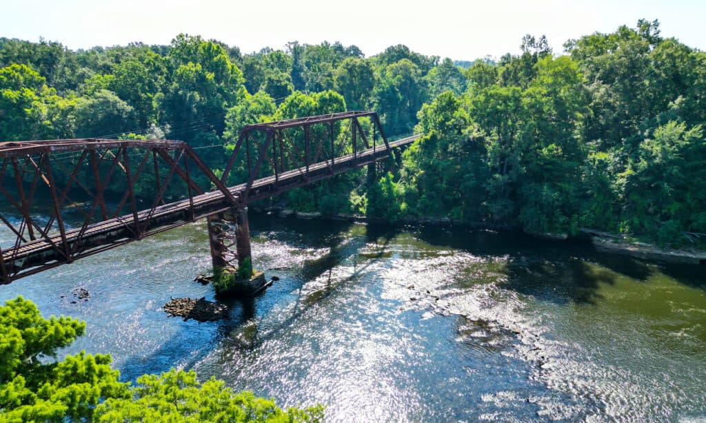
The Flint River a part of the ACF basin, along with the Chattahoochee and Apalachicola rivers.
©airwayphoto/Shutterstock.com
The Flint River is a 344-mile-long river that drains 8,460 square miles of western Georgia. It’s a part of the ACF basin, along with the Chattahoochee and Apalachicola rivers. The river is particularly picturesque in its upper route through Piedmont’s red hills, running without interruption for more than 200 miles. Floods have frequently occurred along the river throughout its history. The river crested at 43 feet in Albany in 1994 amid floods from Tropical Storm Alberto, forcing the immediate evacuation of nearly 23,000 people and generating one of the biggest natural catastrophes in the state’s history.
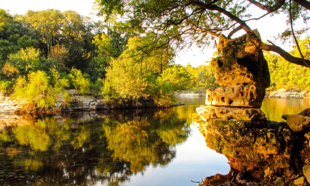
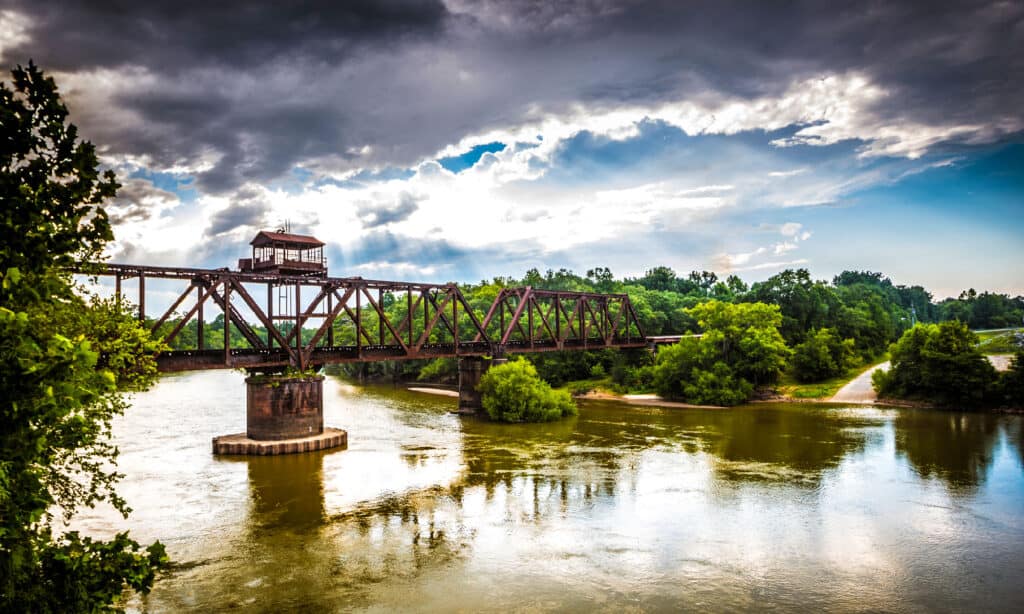
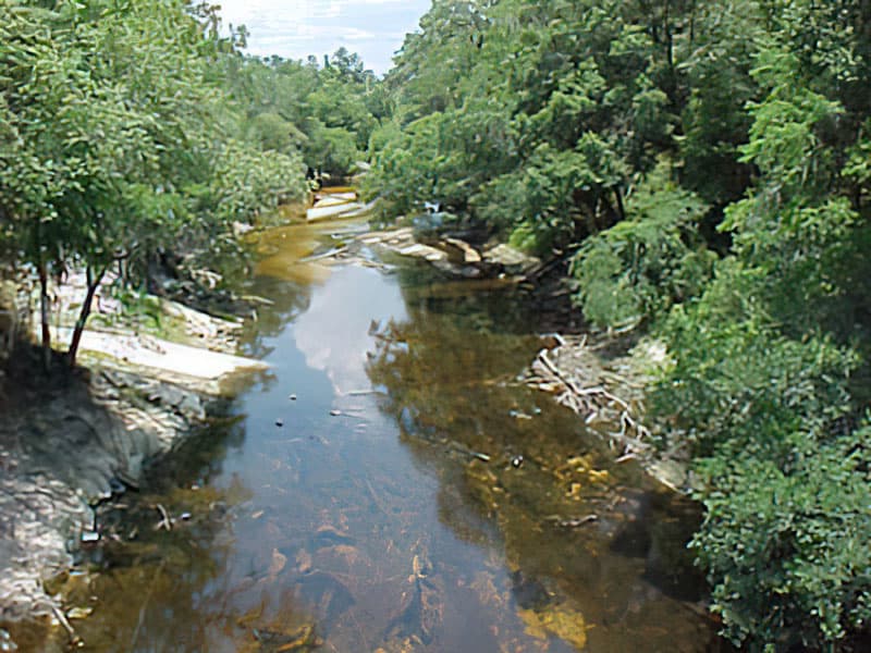
2. Ogeechee River
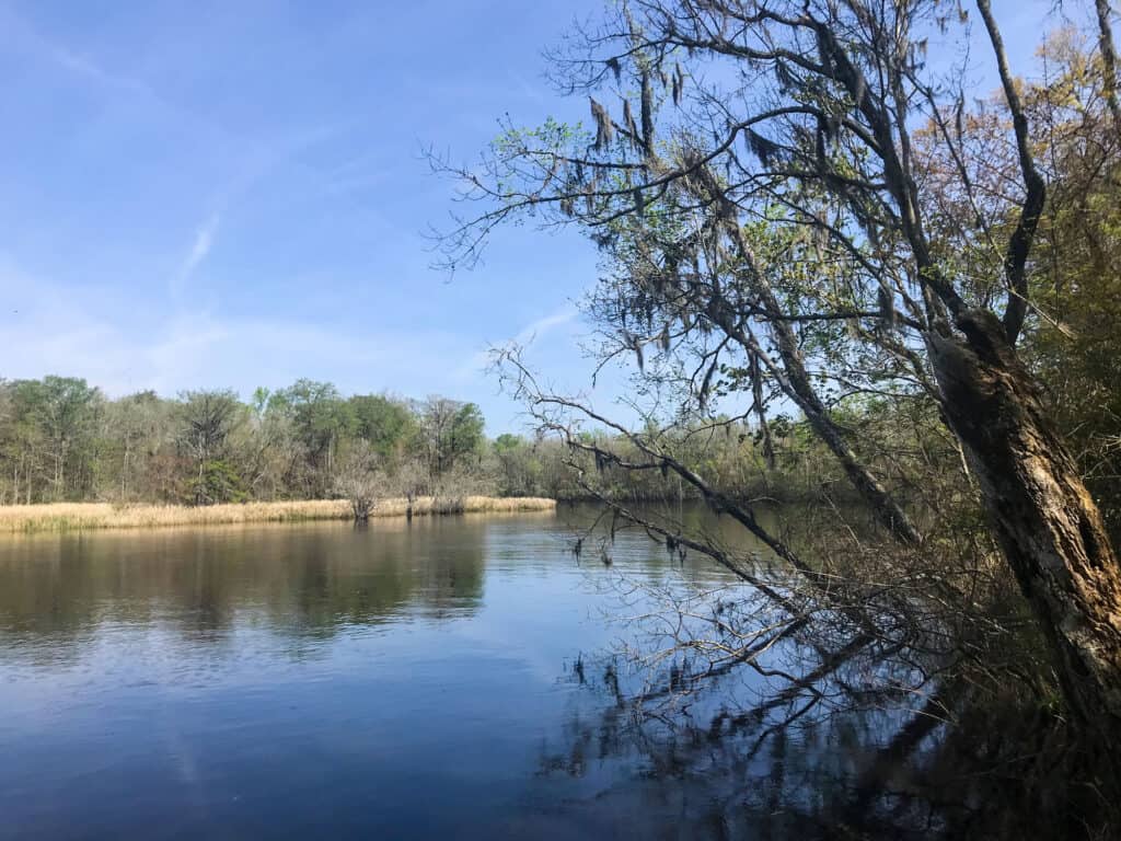
The Ogeechee River travels through the Fall Line and Sandhills regions and then runs to the Atlantic Ocean over Georgia’s coastal plain.
©iStock.com/Yvonne Wilemon
One of the few free-flowing streams in the state, the Ogeechee River is a 294-mile-long blackwater river in Georgia with a watershed of 5,540 square miles. From Piedmont, the Ogeechee River travels through the Fall Line and Sandhills regions and then runs to the Atlantic Ocean over Georgia’s coastal plain. Around 11,500 years ago, Paleo-Indian communities established themselves in the region of the Ogeechee River.
Before European settlers arrived, the Mississippians and Yuchi also inhabited the river for several centuries. In the Ogeechee River, alligators and water snakes are common, and wood storks and southern bald eagles utilize the river as a feeding site in the lower portions.
3. Satilla River
The Satilla River is the largest blackwater river wholly located within Georgia.
©iStock.com/Allen Allnoch
In south Georgia, the Satilla River is regarded as one of the most beautiful and natural rivers. The river flows freely and windingly for 235 miles before spilling into the Atlantic Ocean after beginning in Ben Hill County. The Satilla is the largest blackwater river wholly located within Georgia, draining about 4,000 square miles of land, all on the coastal plain of southeastern Georgia. It features white sandbars and is one of the rare locations in Georgia where you may see brown pelican nesting grounds.
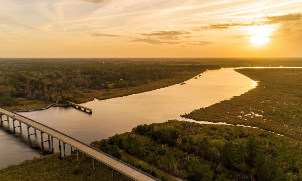
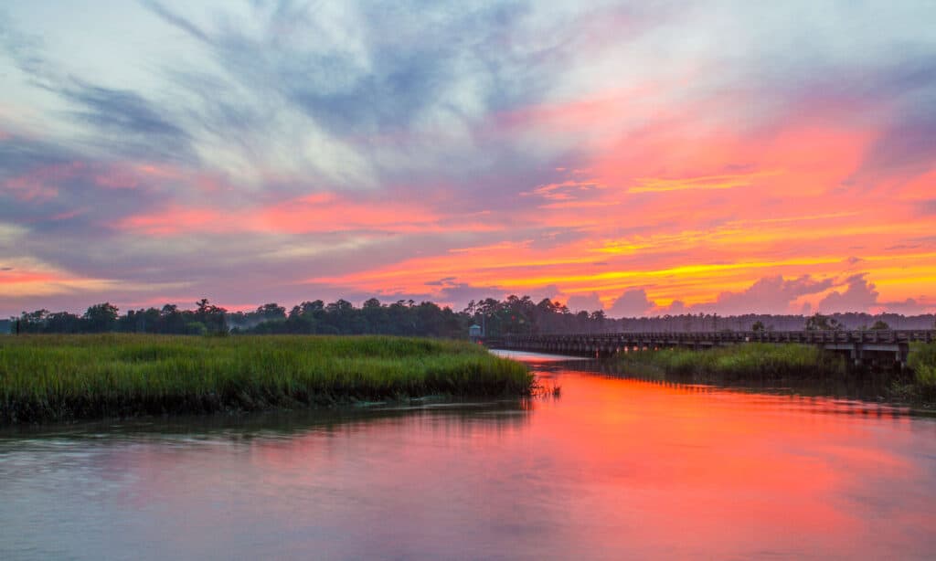
4. Saint Marys River
The Saint Marys River flows 126 miles to the southern tip of Cumberland Island, where it empties into the Atlantic Ocean.
©Don Ramey Logan / CC BY-SA 4.0 – License
The Saint Marys River is a long, meandering black water stream that rises in the Okefenokee Swamp and flows 126 miles to the southern tip of Cumberland Island, where it empties into the Atlantic Ocean. It stretches between Georgia and Florida, flowing from the Okefenokee Swamp to its mouth at the Atlantic Ocean. Additionally, the river serves as Georgia’s southernmost point. The St. Marys River provides individuals who navigate its waters with a wilderness feel despite little development and few river crossings.
5. Suwannee River
The Suwannee River travels approximately 246 miles from the Okefenokee Swamp to the Gulf of Mexico.
©iStock.com/Wilsilver77
The Suwannee River flows through south Georgia before entering Florida. It is an untamed blackwater river that travels approximately 246 miles from the Okefenokee Swamp to the Gulf of Mexico. The Suwanee Straits, which once divided peninsular Florida from the panhandle, were located at the Suwannee River.
The 33-mile stretch of the Suwannee River has darkly tea-colored water and offers a distinctive fishing experience. Redbreast sunfish, bluegill, and bass are less numerous here than in other south Georgia rivers. However, there are still plenty of other fish for anglers to catch, including warmouth, flyer, chain pickerel, and bullhead catfish.
6. Chattahoochee River
The Chattahoochee River empties into the Gulf of Mexico with the Flint and Apalachicola rivers.
©iStock.com/BluIz60
The southern half of the boundary between Georgia and Alabama and a piece of Florida is formed by the Chattahoochee River. About 430 miles long, the Chattahoochee River empties into the Gulf of Mexico with the Flint and Apalachicola rivers. The Apalachicola-Chattahoochee-Flint River Basin (ACF River Basin), of which the Chattahoochee is the largest portion, is made up of the three rivers combined. The Song of the Chattahoochee (1877) by renowned Georgian poet Sidney Lanier honors the beauty of the river. The poet’s name was adopted for Lake Lanier, a lake in the Chattahoochee River.
7. Altamaha River
The Altamaha River originates at the confluence of the Oconee and Ocmulgee rivers.
©iStock.com/Colby Lysne
One of Georgia’s biggest free-flowing rivers, the Altamaha River, is created when the Ocmulgee and Oconee rivers combine. The river originates at the confluence of the Oconee and Ocmulgee rivers and flows 137 miles mostly eastward before emptying into the Atlantic Ocean at Brunswick. The Altamaha, which was once a busy route for steamboat commerce, today offers a wide range of sporting events, from competition angling to bank and boat fishing, canoeing, and leisure boating.
8. Oconee River
The Oconee River is 220 miles long.
©iStock.com/Ed Williams
The Oconee River is a 220-mile-long river in Georgia that originates in Hall County and empties into the Altamaha River at the borders of Montgomery County, Wheeler County, and Jeff Davis County, where it meets the Ocmulgee River. The lower segment has cutaway sand banks, woody debris, and a river bottom mostly made of sand and silt, while the higher portion has bedrock outcroppings, sturdy bank cover, and a gravel bottom. The Oconee River is a sight to behold as it makes up many geographical facets like sandbars and oxbow lakes.
9. Ocmulgee River
The lower Ocmulgee can be a good place to find bass, bream, and catfish.
©iStock.com/annbertschin
The Ocmulgee River, a western tributary of the Altamaha River, stretches around 255 miles. A significant portion of Piedmont and the coastal plain of central Georgia, covering 6,180 square miles in sections of 33 Georgia counties, is drained by the river and its tributaries.
The U.S. Geological Survey identified three river subbasins in the Ocmulgee River basin: the Little Ocmulgee River Subbasin, the Lower Ocmulgee River Subbasin, and the Upper Ocmulgee River Subbasin. Anglers can find a variety of fish in the river, and the lower Ocmulgee can be a good place to find bass, bream, and catfish.
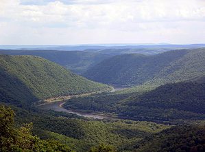
10. Savannah River
The Savannah River begins in Lake Hartwell and runs for about 301 miles before emptying into the Atlantic.
©iStock.com/Allen Allnoch
The Savannah River, a significant river in the country’s southeast, forms most of the border between Georgia and South Carolina. The river begins in Lake Hartwell and runs for about 301 miles before emptying into the Atlantic. The Eastern Continental Divide defines the southern boundary of the Savannah River drainage basin, which reaches through North Carolina and into the southern portion of the Appalachian Mountains. Numerous oxbow lakes that line the river offer great fishing options, according to many anglers.
11. Coosa River
Hundreds of tributaries comprise the Coosa River’s drainage system, which has been classified based on the many watershed regions.
©iStock.com/Shackleford-Photography
In the American states of Alabama and Georgia, there is a 280-mile-long tributary of the Alabama River called the Coosa River. Hundreds of tributaries comprise the Coosa River’s drainage system, which has been classified based on the many watershed regions. 281 unique plant and animal species have been found in the Middle Coosa River Watershed, along with federally or statewide protected species. One of only a few such populations in the country, the Coosa is home to a healthy, organically reproducing population of landlocked striped bass.
12. Tallapoosa River
The Tallapoosa River is home to four hydroelectric dams.
©iStock.com/Shackleford-Photography
The Tallapoosa River flows 265 miles from Georgia’s southernmost portion of the Appalachian Mountains south and west into Alabama’s Appalachian foothills. The Alabama River is created as the Tallapoosa River combines with the Coosa River about 10 miles northeast of Montgomery, close to Wetumpka. The Tallapoosa River is also home to four hydroelectric dams: the Yates Dam, Martin Dam, Thurlow Dam, and R.L. Harris Dam.
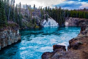
13. Alapaha River
Alapaha River turns into a subterranean river and vanishes underground in times of low volume.
©public domain – License
A 202-mile-long tributary of the Suwannee River, which empties into the Gulf of Mexico, the Alapaha River runs through southern Georgia and northern Florida. For a portion of its length, the Alapaha River is intermittent. This blackwater river turns into a subterranean river and vanishes underground in times of low volume, where it flows beneath longleaf, slash, oak trees, loblolly pines, and bald cypress trees. Wildlife in the river includes everything from alligators and fish to great blue herons and snapping turtles.
14. Yellow River
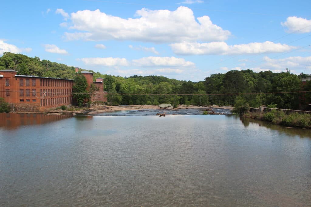
The Yellow River is largely flat and boasts a diverse range of fauna.
©Thomson200 / CC0 1.0 – License
The Yellow River is a 76-mile-long piedmont-flavored tributary of the Ocmulgee River in Georgia that runs through suburban Atlanta to Lake Jackson, encompassing the counties of Gwinnett, Dekalb, Rockdale, and Newton. The river is largely flat, boasts a diverse range of fauna, and has a long history dating back to Native American Indian communities and former mill towns.
Up Next:
The 10 Biggest Lakes in Georgia
The 10 Longest Rivers in North America
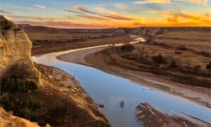
The photo featured at the top of this post is © iStock.com/Yvonne Wilemon
Sources
- WorldAtlas, Available here: https://www.worldatlas.com/articles/the-10-longest-rivers-in-georgia.html
- Wikipedia, Available here: https://en.wikipedia.org/wiki/List_of_rivers_of_Georgia_(U.S._state)
How to Add Us to Google News


Thank you for reading! Have some feedback for us? Contact the AZ Animals editorial team.