
Quick Take
- For 30 years, weather radar captured something that had nothing to do with weather, and scientists were powerless to explain exactly what they were seeing. See the radar mystery →
- The breakthrough came not from more radar stations or bigger satellites but from an unlikely source most people already carry in their pocket. Discover the citizen-science solution →
- Not knowing which birds are in a migratory flock isn't just a scientific curiosity. It has real consequences that are quietly happening right now. See why species ID matters →
- The same tool tracking bird migration could soon play a role in a public health threat that has nothing to do with birds disappearing. Explore the public health link →
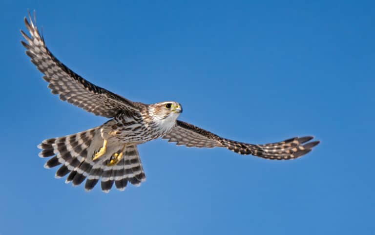
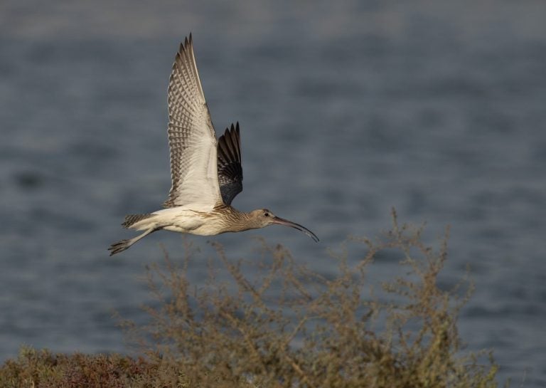
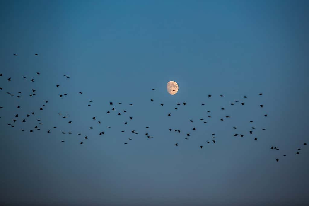
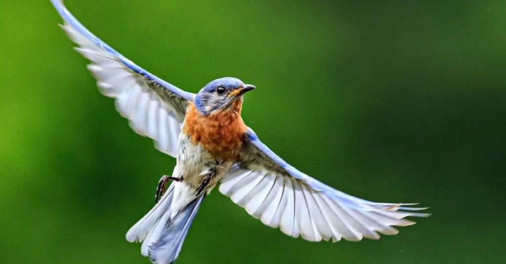
Every spring and fall, in North America, weather radar captures something besides the actual weather. As large flocks of birds move north or south, radar stations across the country capture them as they fill the skies.
Previously, radar systems could only indicate that unknown birds were present in the radar feeds—until now. Thanks to a breakthrough from researchers at Cornell University, the University of Massachusetts, and the University of Illinois Urbana-Champaign, there’s a way to tell which birds are seen on radar by incorporating artificial intelligence (AI). Their findings were developed through two separate studies published in the journals Global Ecology and Biogeography and Movement Ecology.
The result? A new tool called BirdFlow that can distinguish the individual species found in each migratory radar blob.
Anonymous Blobs Stymied Researchers
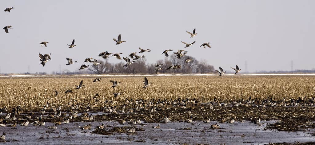
Historically, radar has captured blobs of migrating birds as they move across the night sky. Researchers could generally track migratory patterns at a broad level, but they could not determine which specific species were present in the radar blobs.
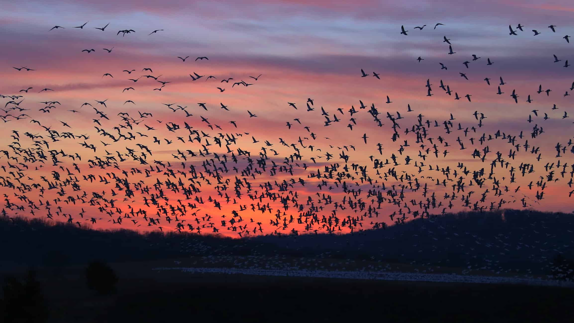
Weather radar regularly captures birds in migratory flight, but there was no way to know which species they were.
©Lioneska/Shutterstock.com
This limited conservation efforts because, without knowing which species were in the blobs, researchers could not determine if endangered species were present.
The new study aimed to overcome this limitation by finding a way to identify individual species within the radar data.
How Researchers Bridged the Data Gap
Researchers combined two methods to solve the riddle. The first relied on the work of citizen scientists.
The research team turned to Cornell’s popular app eBird, which gave them more than 2 billion observations submitted to the app. The team used this data to build the BirdFlow Migration Traffic Rate (BMTR), a model that successfully identifies major flyway patterns and species-specific migration estimates. The data also filled in gaps that traditional weather radar didn’t cover.
Researchers turned to data uploaded to the eBird app by citizen scientists.
©jo Crebbin/Shutterstock.com
“BirdFlow opens up exciting new directions for monitoring and forecasting bird migration in real-time,” said Adriaan Dokter, project leader for BirdFlow at Cornell Lab of Ornithology, in the press release announcing the findings. “The new BMTR metrics allow us to estimate the most likely species responsible for the movements we detect with radar, which detects the numbers of birds migrating aloft but not which species.”
The team then gathered additional data—including information on GPS-tagged birds, Motus radio telemetry, and banding records—to input into the BirdFlow model. The additional data were used to identify population-level migration across North America. Using this combined data, the team produced migration models for 153 migratory North American bird species, spanning 14 orders and 39 families.
How Did Scientists Validate the Data?
To be sure their BirdFlow results were accurate, the research team added in nearly 30 years’ worth of data from 152 weather surveillance radar stations across North America. What they found was that the BirdFlow models strongly correlated with the radar data. They also validated their models by comparing them to migration data from GPS-tracked birds, demonstrating that the models accurately represented migration routes for specific species.

The researchers compared their data models to actual data collected by weather radar stations across North America over the past three decades.
©David Grimes/Shutterstock.com
“We find that incorporating such individual and species-specific differences—as captured directly by tracking and banding data—greatly improves our population-level movement models,” said Dokter in the press release. “We like to think of BirdFlow as a way of synergizing all the available information on the movements of individual species that is out there.”
What This Means for Conservation
BirdFlow is more than just an innovative AI-powered modeling tool.
According to the researchers involved in the study, there are several immediate applications that can produce real-world results. One application is reducing the risk of bird collisions during peak migration seasons. “Different bird groups are prone to different levels of risk of colliding with windows,” said Yuting Deng, a postdoctoral associate at Cornell Lab of Ornithology, in the press release.
Another application is tracking the spread of infectious diseases. Federal and state wildlife agencies are working together with the research team to use BirdFlow models to monitor avian influenza transmission routes with a focus on waterfowl species. “By resolving these population-level movements, BirdFlow can support research and applications in migration ecology, conservation planning, disease surveillance, aviation risk assessment, and public outreach,” said Yangkang Chen, a PhD student at the University of Illinois Urbana-Champaign, in the same press release.
Better tracking of avian influenza migration patterns is also a benefit of the new BirdFlow technology.
©Patrick Ziegler/Shutterstock.com
Conservationists now have a broader picture of migration, allowing them to study it at a scale never before possible. They can examine the ranges of hundreds of species throughout the entire annual migration season. They will be able to identify variations among—and even within—species, including the routes they take and the threats they face.
What’s Next for BirdFlow?
Researchers hope to incorporate BirdFlow models into other existing monitoring systems in the future. One such system is BirdCast, a tool from the Cornell Lab of Ornithology that offers migration forecasts but currently lacks species-specific information.
The BirdFlow team has also been busy refining the models. They recently published a new model collection that expanded the number of tested models in the BirdFlow tool from four to sixty.