
Quick Take
- Law enforcement had nearly 30 years of evidence sitting unused, and what researchers found when they finally connected the dots was not what anyone expected. See how data mapped routes →
- Researchers cracked the trafficking code using a model designed for something that has nothing to do with wildlife, and it mapped criminal routes with unsettling precision. Explore the electrical grid model →
- The reason parrot trafficking is surging has shifted dramatically, and the new driver behind it is something most people would never suspect. Discover the new demand driver →
- The tool built to stop parrot poachers may end up targeting something far larger and far more dangerous. See the broader applications →
For Mexico’s wild parrot population, one of the biggest threats is illegal wildlife trafficking. Poachers have captured and then sold hundreds of thousands of wild parrots across the country.
Even strong international wildlife laws did little to stop the illegal activity. Mexico’s wild parrot populations plummeted over the past 30 years. But now, thanks to a group of dedicated researchers, law enforcement officials have a new tool in their fight against illegal parrot trafficking.
The tool was developed through a collaboration between researchers at Arizona State University (ASU) and Australian National University (ANU). The team’s findings were just published in the journal Proceedings of the National Academy of Sciences.
Continue reading
Turning Paperwork Into a Roadmap
The study was led by George Olah, a DECRA fellow at the Fenner School of Environment and Society at ANU. Greg Asner, director of the ASU Center for Global Discovery and Conservation, was a co-author. Their team turned to existing data for a potential solution to Mexico’s parrot trafficking problem.
The team analyzed more than 6,000 confiscation records collected over 27 years (between 1997 and 2024) throughout the country. The data was recorded by law enforcement in different jurisdictions as each illegal trafficking bust was made.

Amazon parrots are one species highly trafficked in Mexico.
©Grisha Bruev/Shutterstock.com
Although the records were consistently collected and saved, they were never analyzed for patterns. In fact, the data was never consolidated; each record remained at the jurisdictional level.
Researchers believed that finding patterns in the data could help the police better understand how trafficked parrots moved from capture to sale. Those patterns might help law enforcement anticipate and prevent future illegal activity.
To analyze the data, the research team used an existing modeling tool, modifying it to map all of Mexico as an electrical grid. In this model, parrot populations were represented as electricity sources and confiscation locations as endpoints.
Trafficking Highways Revealed
This approach allowed the team to calculate where the highest levels of illegal parrot trafficking — represented as “current” — flowed, helping to identify transportation corridors most likely used by poachers.
One thing the team found surprised them. They discovered that those “currents” did not remain static over the three decades of data. Instead, the “currents” changed slightly as they adapted to changing socioeconomic conditions.
Historically, parrot trafficking in Mexico was driven by poverty. However, over the past three decades, the trade has shifted from rural, poverty-driven opportunism to an organized enterprise fueled by urban demand for parrots as pets. More people wanted parrots as pets, and this created an incentive for more traffickers — especially organized crime syndicates — to get involved.
“By analyzing almost 30 years of data, we found these criminal networks adapt in predictable ways as socioeconomic conditions change,” Olah said in a press release discussing the study. “We’ve seen the trade shift from opportunistic trapping in rural areas to increasingly sophisticated supply chains driven by urban demand.”
Getting to the Root of Parrot Trafficking
The research team used the data to create an interactive, online platform. The goal? To give law enforcement an easy way to identify trafficking hotspots by parrot species and jurisdiction.
The police can zoom into their own jurisdictions, identify high-risk trafficking routes, and filter by parrot species. They can then use the results to target future enforcement operations.

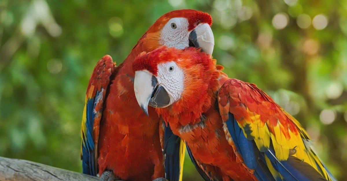
Macaws are a highly-trafficked species in Mexico.
©Aesthetic.17/Shutterstock.com
By using data to make decisions, the police can be more effective in stopping trafficking at its source. Traditional methods, such as traffic checkpoints and anonymous tips, often don’t identify trafficking until much later in the process.
“Our highly applied geospatial tracking approach supports both policy at the strategic level and law enforcement at the tactical level,” Asner said in the press release. “The science and technologies we are pioneering now will make wildlife poaching more difficult for the perpetrators in the future.”
This technology could potentially save some species from extinction, especially macaws and Amazon parrots, which are routinely targeted by traffickers. Traffickers capture these birds at rates that exceed their natural reproduction, putting them on the path to extinction.
Armed with this new technology to anticipate trafficking activities, these at-risk species can be better protected from poachers.
A Solution for More Than Parrots?
The new modeling tool has broader applications.
The researchers believe the same modeling tool can be expanded to track trafficking of marine species and other goods that organized crime syndicates regularly move through Mexico.
“Many organized crime groups use the same transport corridors to move multiple forms of contraband,” Olah said in the press release. “By integrating criminological theory with landscape science, we are providing a new arsenal of data-driven tools that can strengthen biodiversity conservation while also supporting transnational efforts to combat organized crime.”