
Dams come in all shapes and sizes, from small earthen dams to giant concrete gravity dams. They provide numerous essential functions, including power generation and flood control.
The reservoirs that they contain provide recreational opportunities such as boating, swimming, and fishing. Many also supply drinking water to surrounding communities.
The largest dams can stretch for nearly half a mile and measure hundreds of feet tall. Within the state of Arkansas, you can find well over 1,000 named dams. That said, which dam ranks as the largest in the state? Keep reading to learn about the largest dam in Arkansas.
What is the Largest Dam in Arkansas?
| Length | 2,256 feet |
| Height | 256 feet |
| Spillway Capacity | 112,200 cubic feet per second |
| Power Generated Per Year | 883 gigawatt hours |
| Reservoir Capacity | 5,760,000 acre-feet |
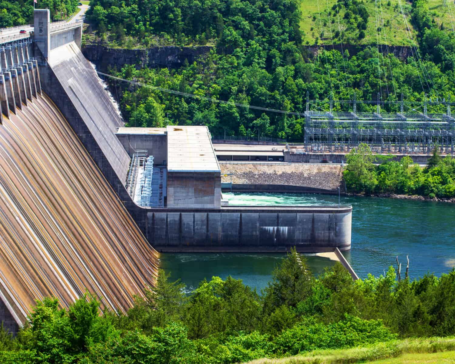
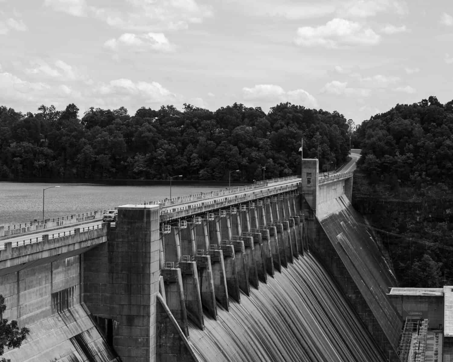
The largest dam in Arkansas is Bull Shoals Dam, a concrete gravity dam located just south of the city of Bull Shoals in Marion County, Arkansas. Bull Shoals Dam is a towering concrete structure that stands approximately 256 feet tall and measures around 2,256 feet long. Its spillway features 17 gate-controlled bays and has a total capacity of 112,200 cubic feet per second.
Bulls Shoals Dam resides along the border of Baxter of Marion counties in north central Arkansas. It lies just 1.7 miles south of downtown Bulls Shoals. The dam shares its name with Bull Shoals Lake, an artificial lake that straddles northern Arkansas and southern Missouri. You can find the dam near the southeastern corner of the lake.
The White River functions both as the primary inflow and outflow of Bull Shoals Lake. The lake measures around 80 miles long and covers an area of 45,150 acres. At maximum capacity, Bull Shoals Lake contains around 5,760,000 acre-feet of water. On average, the lake measures around 75 feet deep, but its deepest point measures around 210 feet deep.

History of Bull Shoals Dam
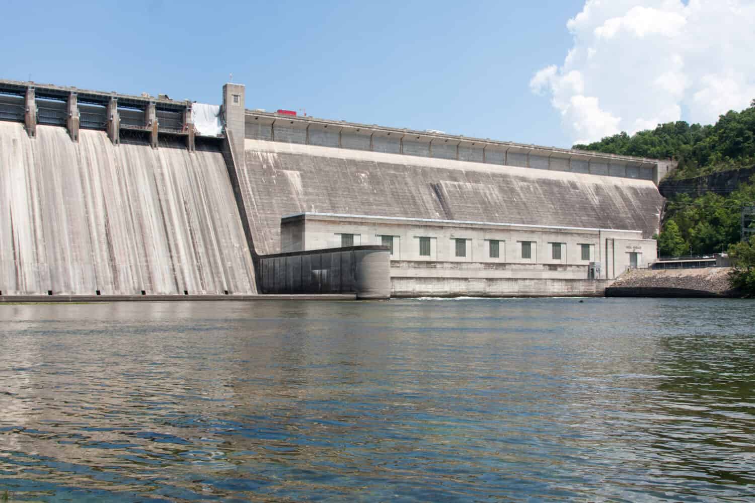
Construction on Bull Shoals Dam finished in 1952.
©Ruth McNeill Photography/Shutterstock.com
Bull Shoals Dam gets its name from the French word “Boill,” meaning a large spring. The term shoal means a shallow, swift section of river, and refers to the rapid stretch of water near that section of the White River. Prior to European settlement, several Native American tribes lived in northern Arkansas, including the Caddos, Osages, and Quapaws. European missionaries began to establish a presence in the area during the 17th century, and the United States took control of the area through the Louisiana Purchase of 1803.
In 1902, private power companies began to draw up plans for a dam near Wildcat Shoals just north of Cotter, Arkansas. However, the plan never bore fruit and was effectively scrapped. Then, the White River Valley experienced substantial flooding in 1915 and 1927. The devastation caused by these events (among others) prompted Congress to pass the Flood Control Act of 1938. President Franklin D. Roosevelt authorized the construction of Bull Shoals Dam as well as half a dozen other dams along the White River.
Construction of Bulls Shoals Dam started in 1947. Around the same time, developers C.S. Woods and C.S. Woods Jr. began the development of the town of Bull Shoals. The dam took four years to complete and cost a total of 76.4 million dollars. To complete the dam, engineers built a 7.5-mile conveyor built to haul concrete from the nearby Lee’s Mountain Quarry. In total, the dam required 2.1 million cubic yards of concrete. Construction finished in 1951, and President Harry S. Truman dedicated the dam on July 2, 1952. At that time, Bull Shoals Dam ranked as not only the largest dam in Arkansas but also the 5th largest dam in the entire United States.
Wildlife You Can Find Around Bull Shoals Dam
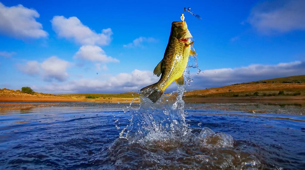
Bull Shoals Lake offers excellent bass fishing.
©Ryno Botha/Shutterstock.com
Tucked away within the Ozark Mountains, Bull Shoals Lake supports a diverse array of wildlife. The mountains and rocky formations along the shoreline teem with hardwoods and cedars, as well as all manner of shrubs and grasses. These plants help to hide all sorts of creatures, including a wide variety of birds and mammals. Some of the species that you can find around Bulls Shoals Dam include:
Within Bull Shoals Lake, you can also find numerous fish species. The lake supports a substantial population of bass, including largemouth, smallmouth, and spotted bass. In the past, the lake has even sponsored major bass fishing tournaments, such as the TBF Bass Federation and Bassmaster Elite Series Tournaments. Other fish commonly caught in the lake include walleye, bluegill, channel and flathead catfish, and both black and white crappie.
What Would Happen if Bull Shoals Dam Ever Broke?
If Bull Shoals Dam ever failed, it could cause catastrophic flooding.
©S H Photo/Shutterstock.com
A dam failure can prove catastrophic depending on the severity of the break. This can range from a mild leak to a full-on flood that can create a tsunami of water that destroys everything in its path. This makes it of the utmost importance to inspect dams regularly and perform upkeep as needed in a timely manner.
The power station at Bull Shoals Dam possesses an internal capacity of 380 megawatt and produces 883 gigawatt hours of power each year. This power provides electricity to hundreds of thousands of homes and businesses across Arkansas and neighboring Missouri. If the dam broke, this power station could go offline, causing blackouts or spikes in energy prices in the region.
Although Bull Shoals Dam also generates power and provides recreation opportunities, it primarily functions as a flood control facility. As such, the implications of the dam breaking could prove extremely dire for nearby residents along the White River and across all of north central Arkansas.
For an estimation of what would happen if the Bulls Shoals Dam broke, we can look back in history to the White River floods of 1915 and 1927. In 1915, the White River overflowed its banks and flooded whole towns and swaths of countryside.
Historians estimate that damages reached hundreds of millions of dollars due to the destruction of crops, livestock, and property. Just 12 years later, the White River reached even higher levels, causing even more substantial flooding and loss of life. If the dam broke today, we could expect devastation like these events.
Where is Bull Shoals Dam Located on a Map?
Located on the White River in northern Arkansas, USA, Bull Shoals Dam is a concrete gravity dam located on the border of Marion and Baxter Counties. This dam serves many different functions, primarily generating hydroelectricity and providing flood control. Additionally, it forms Bull Shoals Lake, extending significantly northwest into Missouri.
Here is Bull Shoals Dam on a map:


How to Add Us to Google News


Thank you for reading! Have some feedback for us? Contact the AZ Animals editorial team.