Earth’s oceans are perhaps the most beautiful and awe-inspiring natural areas on the planet, but they also hold some of the most dangerous environments. The wild seas are home to a host of hazards, from powerful currents that can sweep swimmers and boaters miles off course to deep-sea apex predators. These marine dangers are as diverse as they are unpredictable. Even familiar coastal waters often hide threats lying just beneath the surface, making seemingly safe areas more treacherous than they appear. Understanding where these risks are concentrated is important for anyone who swims, boats, dives, or otherwise spends time on the water.
This article explores the areas of the ocean where danger is most likely to be. These regions may be home to intense currents, unpredictable weather patterns, or deadly wildlife encounters. By taking a closer look at how natural forces and marine ecosystems interact, we can see why certain waters pose extreme risks and what people can do to stay safe.
1. Cape Horn
©Jose Luis Stephens/Shutterstock.com
Cape Horn is at the southernmost side of Chile. It’s technically the name of the headland but is also used to refer to the dangerous ocean just in front of it.
Cape Horn is no joke for boats. There are several reasons why this area is so dangerous. For one, the ocean floor grows much shallower. It drops from 13,200 feet down to 330 feet in just a few miles. There’s also a strong, rather consistent wind that comes from the west.
These two situations combined lead to powerful and massive waves. These waves are an almost constant problem, even in good weather. In bad weather, it’s almost impossible to navigate.
While this is the biggest issue, it’s not the only one in the area called Cape Horn. There are also freezing temperatures, stray icebergs, and rocky shoals that can scrape up an unsuspecting boat. Hundreds of ships have sunk in the area due to the deadly combination.
Thankfully, with the opening of the Panama Canal in 1914, the path isn’t used as much, and the number of wrecks and deaths has gone down somewhat.
Cape of Good Hope
©feel4nature/iStock via Getty Images
The Cape of Good Hope is located in the south of South Africa. It’s a narrow peninsula that reaches out towards the ocean. It’s the most southwestern point of the continent.
One of the dangers is that the weather in the area is rather unpredictable. Though the surrounding areas are bright and sunny, the cape may be full of storm clouds and wind.
Because of the unusual weather patterns, the cape was originally called The Cape of Storms. However, in an attempt to attract more people to take the route and trade with that area of Africa, the name changed to The Cape of Good Hope.
It’s not just the storms that make this area rather dangerous. The warm current running from the east meets with the warm current from the northwest at the cape. Where these two currents meet makes for turbulent water, which causes many ships to sink. The wind also comes from different directions throughout the year, which brings in various storms.
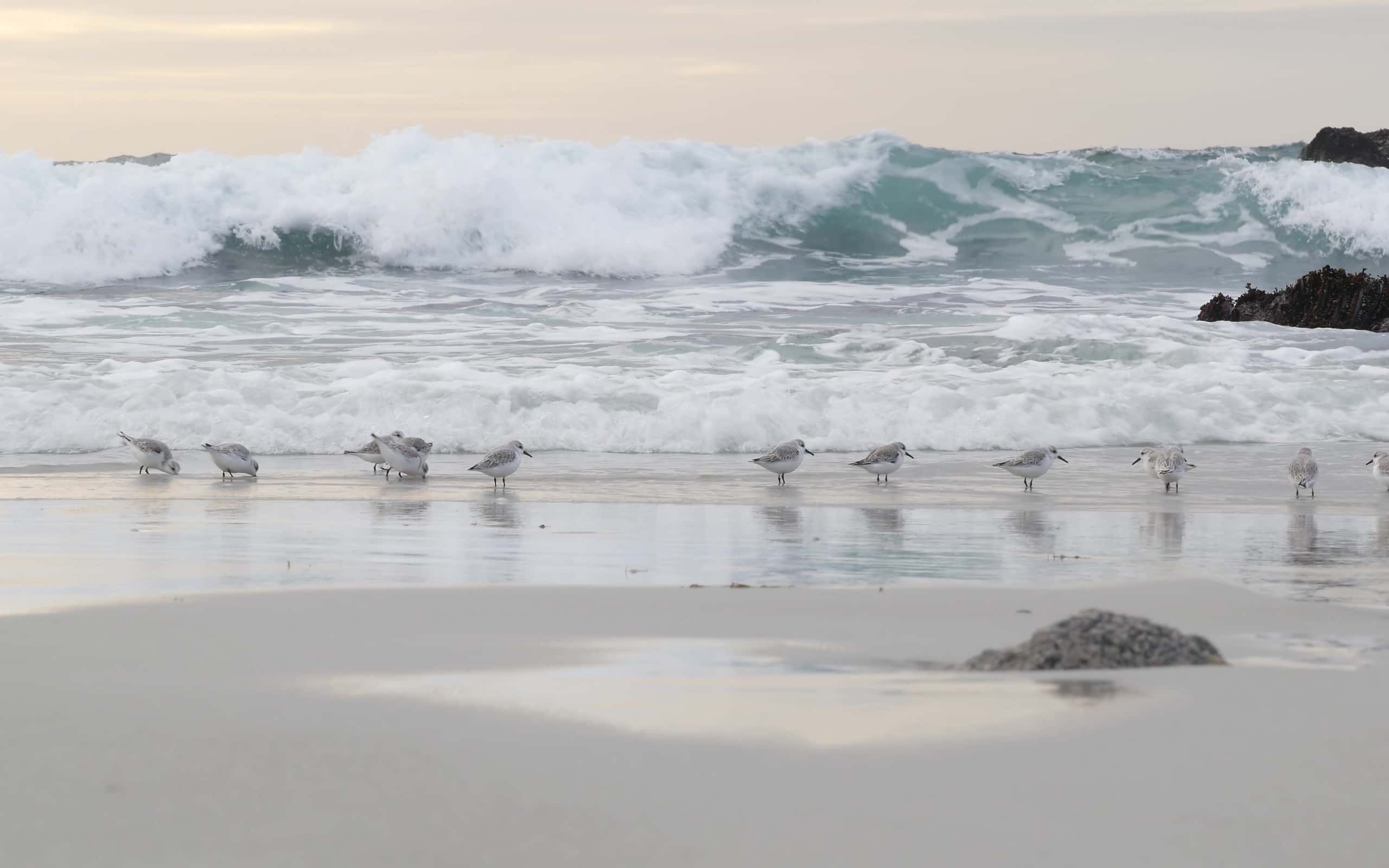
Northern Tropical Queensland
©wallix/iStock via Getty Images
The ocean water in front of Queensland, Australia isn’t inherently dangerous. The water is quite perfect for a dip. However, that doesn’t mean you’re safe to jump right in. There are still threats in these waters.
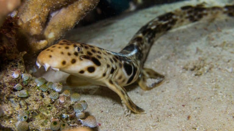
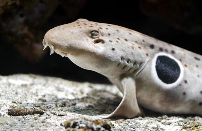
The main reason for the danger is the local wildlife. There are some standard dangerous animals like sharks. But there are also some animals such as the blue-ringed octopus, crocodiles, and jellyfish that all pose risks.
This mix of aggressive predators, venomous and painful stinging makes it quite dangerous to swim around in the area. Most of these animals can cause death for an unsuspecting swimmer.
Of course, that doesn’t stop people from swimming in the area. Some visitors are simply unaware of the dangers. However, others take the risk because they know the safest times to go swimming. The government has also taken some steps to reduce the dangers, such as making enclosures around the swimming area to keep out jellyfish and and putting out signs of what animals are in the area, when they are most active, and what to look out for while swimming.
North and East Coast of Barbados
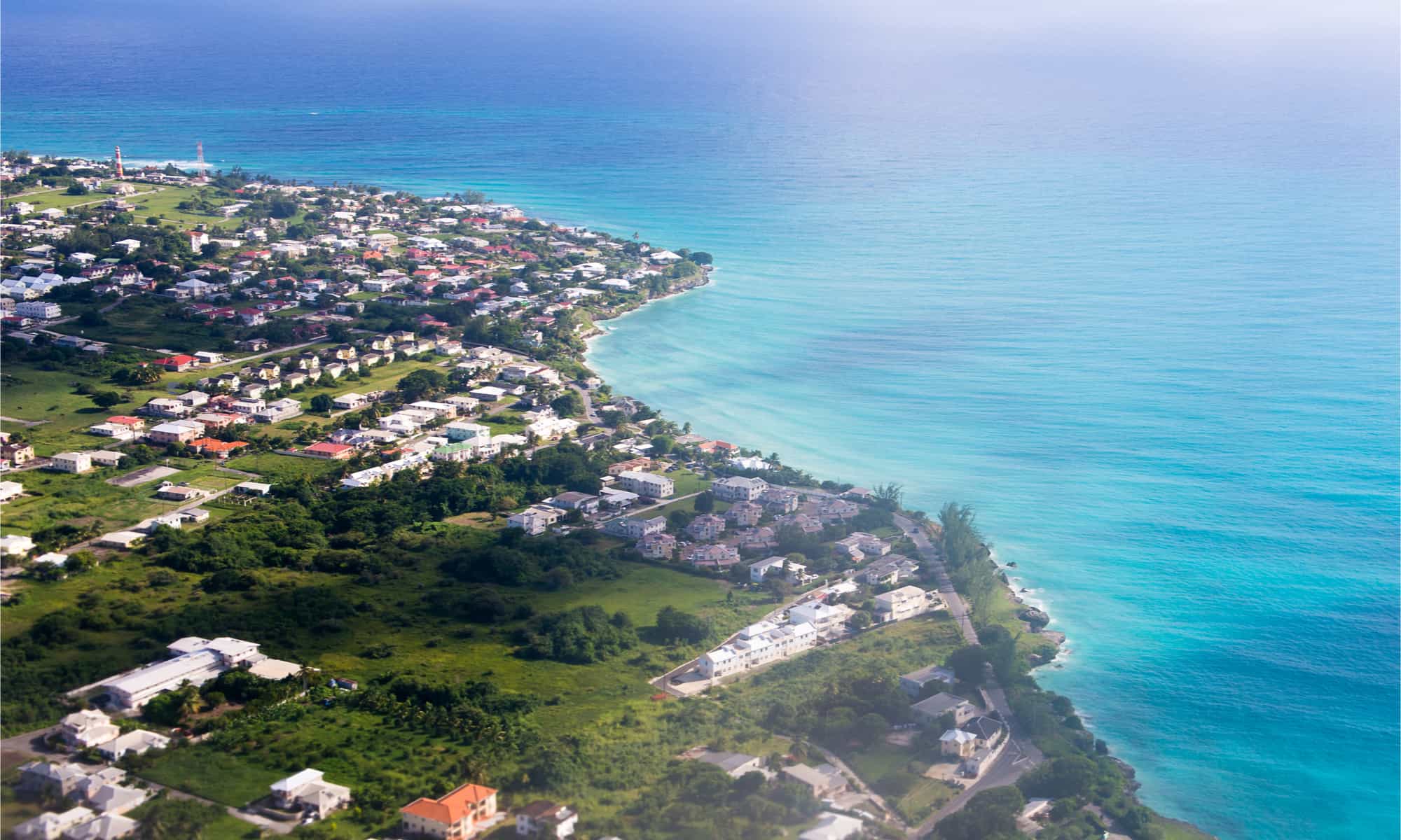
©Anton_Ivanov/Shutterstock.com
The biggest danger around Barbados has to do with the currents. If you end up swimming in the wrong place, you end up fighting strong riptides trying to pull you deep and far out into the sea. There are also the chances for powerful waves to pop up unexpectedly. Tides move the water far more than you might expect as well.
Because of this, there aren’t many areas where it’s considered safe to swim. Before jumping in for a dip, it’s a good idea to make sure you understand what you’re getting into. If you do want to swim in Barbados, avoid the Atlantic sides.
Unless you’re an experienced surfer, it’s best to avoid the north and east sides for swimming. The west and the south sides are the safest places to swim. The west is generally considered the safest of the two as the currents aren’t as strong and the waves are somewhat gentle. However, that doesn’t mean there’s no danger. They still have somewhat strong undercurrents that can pose dangers to children or those who have had a little too much to drink.
Like Australia, there are also some dangerous animals in the water. The two most dangerous are sea urchins which pose a danger if you step on their spines and the man-o-war which is an animal that poses an incredibly painful, though not deadly, sting.
Red Triangle
©DogoraSun/iStock via Getty Images
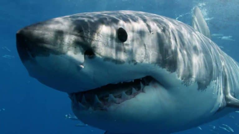
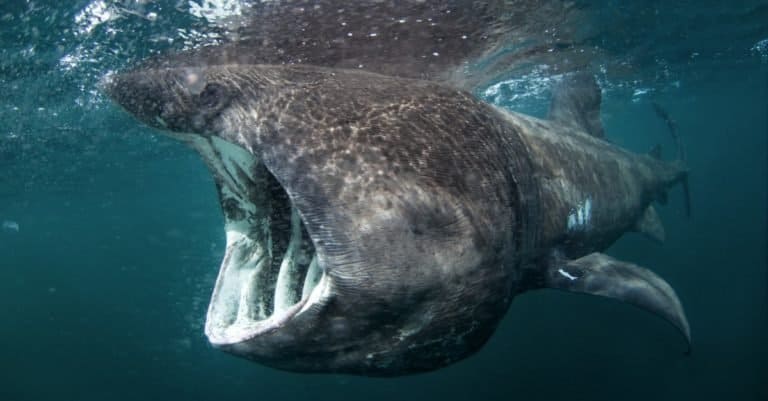
The area enclosed in the Red Triangle just off of California is home to a diverse range of marine wildlife. Animals such as harbor seals, sea otters, elephant seals, and sea lions live in abundance in the area. While this makes it quite exciting to visit, it also makes it quite dangerous.
It’s not necessarily these mammals themselves that are dangerous, though they can pose risks. Instead, it’s the animal that preys on all of these mammals. Great white sharks enjoy snacking on all of these animals. So where sea lions, seals, and otters are found in great numbers, you’ll also come across a large number of great white sharks.
This is quite a problem. The beach off of San Fransisco is located within this triangle. The beaches are often quite packed with people enjoying all sorts of water activities including diving, swimming, surfing, and windsurfing.
Sometimes, the sharks mistake people for their prey and end up attacking. It’s estimated that 38 percent of all great white shark attacks in the US originate from the Red Triangle. To avoid a potential bite, it’s best to visit the waters somewhere between May and August. Also, sharks appear in the area in some years more than others. Female great white sharks appear in the area about every two years. So, if you want to keep track of the sharks, you can visit the beaches in the off years for maximum safety.
North Sea
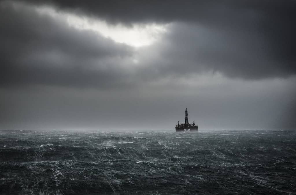
©jonachan/iStock via Getty Images
The overall rough nature of the North Sea lies in the fact that the sea is so shallow. The North Sea has a maximum depth of 2,300 feet. However, the average depth of this sea is only 312 feet. For reference, Lake Superior in North America has an average depth of 483 feet.
Because of this relatively shallow depth, the North Sea is home to extreme currents. These strong currents may pull in different directions, creating dangerous waters. The North Sea is also no stranger to bad weather, especially in the middle of the sea. Conditions are often foggy, and severe storms can appear often.
It is because of these factors that the North Sea is often considered to be one of the most dangerous seas in the world.
Did the Titanic Sink in a Dangerous Area?
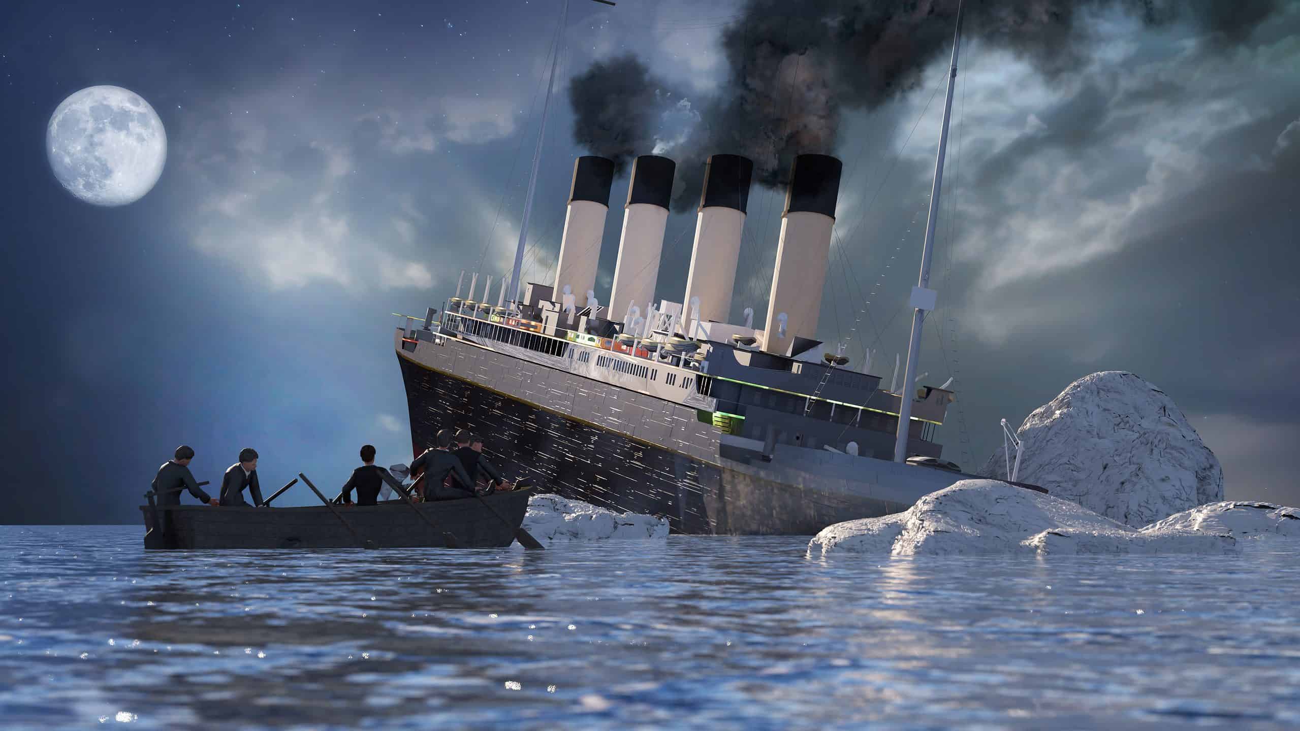
©Denis---S/Shutterstock.com
The Titanic sank in the North Atlantic Ocean, approximately 370 miles south-southeast off the coast of Newfoundland, Canada. This region is known for its cold waters and the presence of icebergs, particularly during the spring and early summer months when icebergs calve off from Greenland and drift south.
The area is not generally considered particularly dangerous for modern maritime travel due to advances in navigation, iceberg monitoring, and ship construction. However, during the early 20th century, it posed significant risks due to the lack of iceberg detection technology and the relatively high traffic of transatlantic voyages. The harsh weather conditions and the potential for iceberg collisions made it a challenging and sometimes perilous area for ships during that era.