
The St. Marys River is a unique waterway forming an international border between Michigan in the United States and Ontario, Canada. At 74.5 miles long, it connects two of the largest freshwater lakes in the world (Lake Superior and Lake Huron.)
How deep is Michigan’s St. Marys River? Natural depths of the river average around 20 feet. This isn’t particularly deep as far as rivers go, considering the U.S.’s deepest river, the Hudson, averages a depth of 216 feet. However, it’s the only waterway connecting Lake Superior to the other Great Lakes. Recreation activities along the river support Michigan’s tourism economy. And, the river is not only an important shipping channel but a habitat for a diverse number of fish and other wildlife.
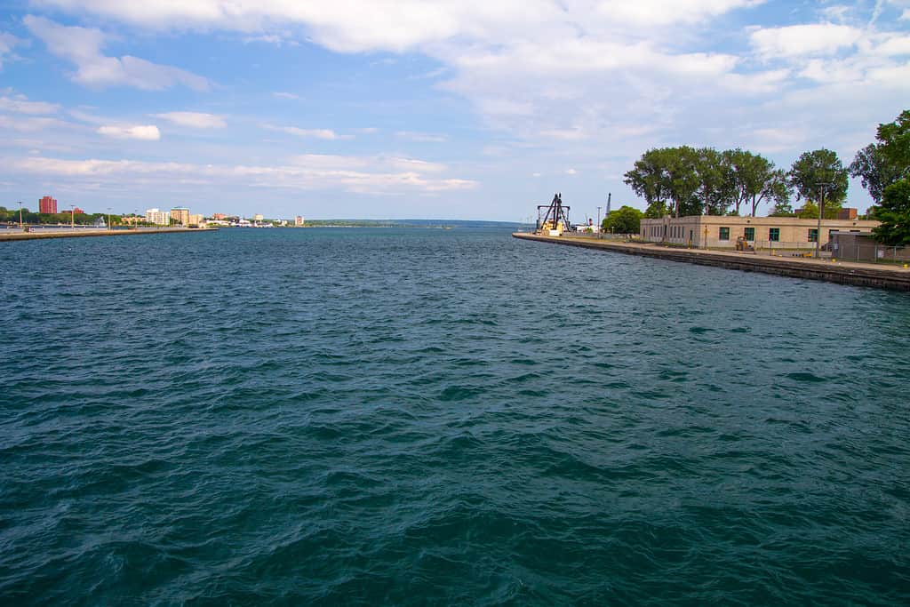
St. Marys River is 74.5 miles long and 20 feet deep.
©ehrlif/Shutterstock.com
History of the St. Marys River
Located in Michigan’s Upper Peninsula, the St. Marys River starts at the end of Whitefish Bay on Lake Superior and flows southeast into Lake Huron. The river intersects the twin cities of Sault Ste. Marie in Ontario and Sault Ste. Marie, Michigan. The cities connect via the Sault Ste. Marie International Bridge over the St. Marys River.

The Sault Ste. Marie International Bridge lights up at night.
©John McCormick/Shutterstock.com
Before Europeans settled in the area, Native Americans (the Ojibwe or Chippewa Tribe) came to the land for the natural abundance of fish and fur. Many tribes would migrate to the river during peak fishing season. In the 1600s, French missionaries and fur traders arrived in the region and settled there, founding the city of Sault Ste. Marie. Founded in 1668, Sault Ste. Marie is the oldest city in Michigan and, in fact, one of the oldest cities in the U.S.
Because the river was a significant natural resource, and strategically located, the French and British had many battles over who owned the area and who had the right to trade with the Native Americans. But, in 1820, the Treaty of the Sault turned control of the city to the United States.
Soo Locks
Presently, the river is an important trade route connecting the Great Lakes. But originally, the natural rapids along the river made it impossible for ships to pass. At the head of the river, a 20-foot drop over 1-1/2 miles of a 1,000-foot thick reddish sandstone bedrock prevented vessels from navigating the waterway. Consequently, in 1797, the first lock on the river was built to allow trade canoes to pass.
By the mid-1800s, the first Soo Locks were built. Today, somewhere between 7,000 to 10,000 ships pass through the locks each year. The locks are also a significant tourist draw, and many come to the area to watch ships use the fascinating lock system.
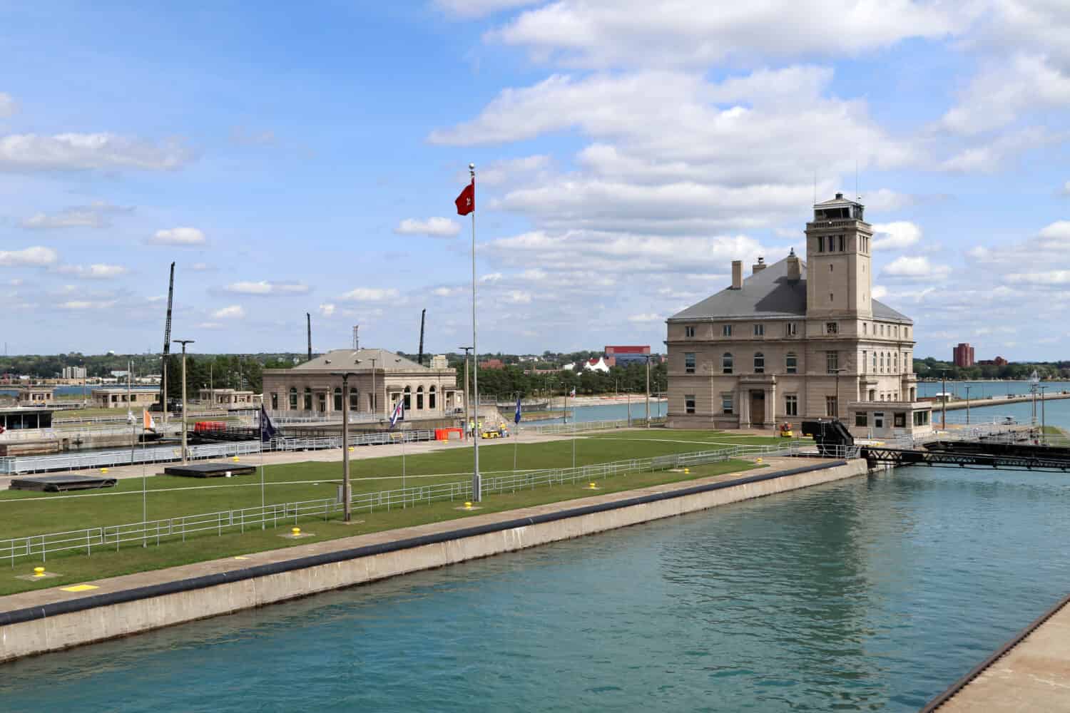
The locks operate via a system of gates and chambers that raise and lower boats. Interestingly, they require no pumps and are powered only by the force of gravity.
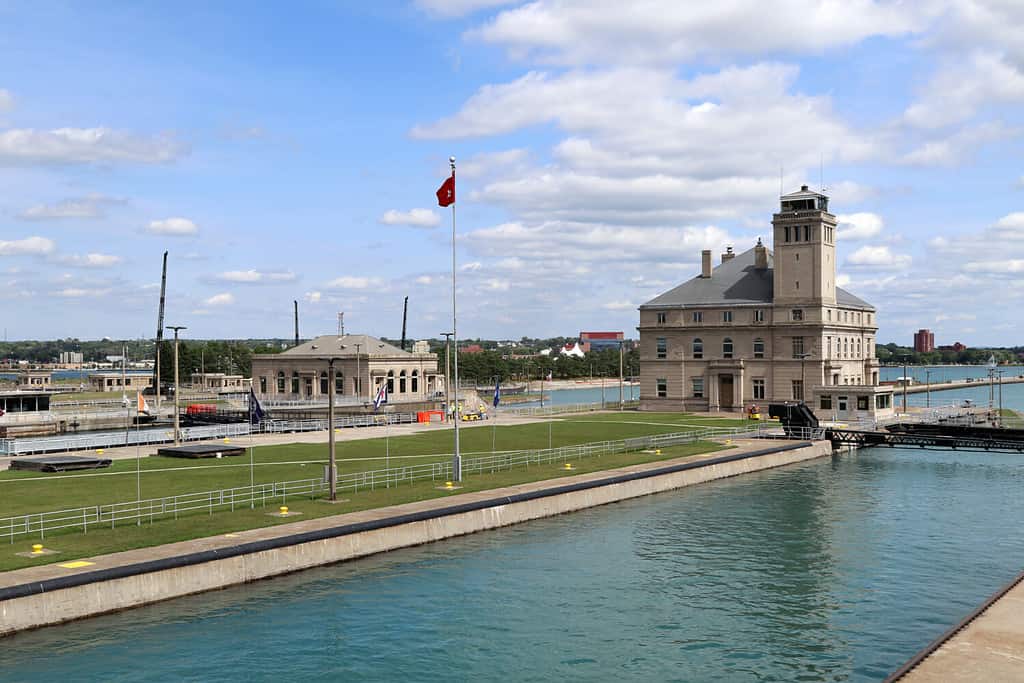
The Soo Locks use no pumps and are powered 100% by gravity.
©Thomas Barrat/Shutterstock.com
Ecology of the St. Marys River
The St. Marys River is a big tourist draw for water sports, recreation, and fishing. It’s also home to a richly abundant variety of animals and plants. Listed as an Area of Concern, by the Environmental Protection Agency, the St. Mary’s River, along with the Straits of Mackinac, was identified by the Audoban as one of the 12 most important coastal wetlands across the Great Lakes.
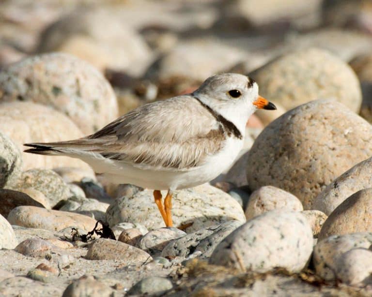
The region has been identified as critical for conserving and restoring vulnerable marsh birds. Animal habitats around the river include the Great Lakes marsh, wetlands, and boreal forest.
Birds
There are many bird species found along the river. It’s also an important route for migratory waterfowl and songbirds.
Some of the birds that can be spotted along the river include:
- Michigan railbird
- Bald eagle
- Osprey
- Black terns
- Herons (American bittern)
- Common tern
- Great egret
- Ducks (various species, such as buffleheads and diving ducks)
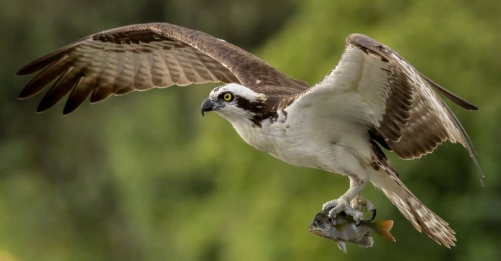
An osprey hunts a small fish.
©iStock.com/Harry Collins
Reptiles
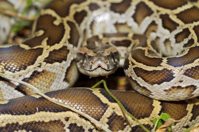
The St. Marys River is full of snakes. A whopping nine different species can be found in the river. One of these is the Eastern massasauga (Sistrurus catenatus), the only venomous snake species found in Michigan. There are also several turtle species found there including snapping turtles, painted turtles, Blanding’s turtles, and wood turtles.
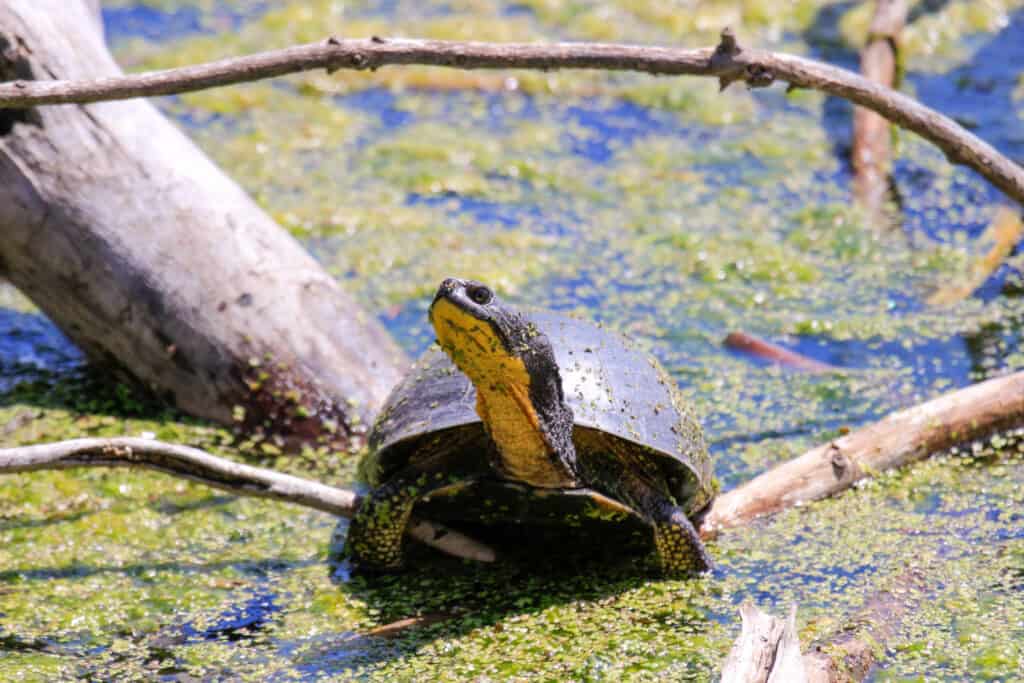
The oldest known Blanding’s turtle, found in Michigan, was 83 years old.
©iStock.com/mynewturtle
Mammals
In Michigan’s Upper Peninsula, the wild terrain makes it a unique spot to see a variety of species. Moose are sometimes seen swimming down the river. The endangered timber wolves have made a comeback and are now found in every county in the Upper Peninsula. Other animals living in the area include deer, black bears, and river otters.
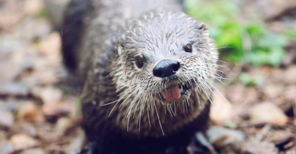
River otters are abundant in the St. Marys River.
©iStock.com/Heather Burditt
Fish
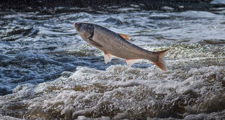
The St. Marys is a popular spot for recreational fishing. Anglers fish for pink salmon, perch, walleye, lake whitefish, and lake herring. Lake herring, native to Lake Superior, is a fish species not widely known outside of Michigan.
Other fish found in the river include white suckers, trout, steelhead, and sturgeon.
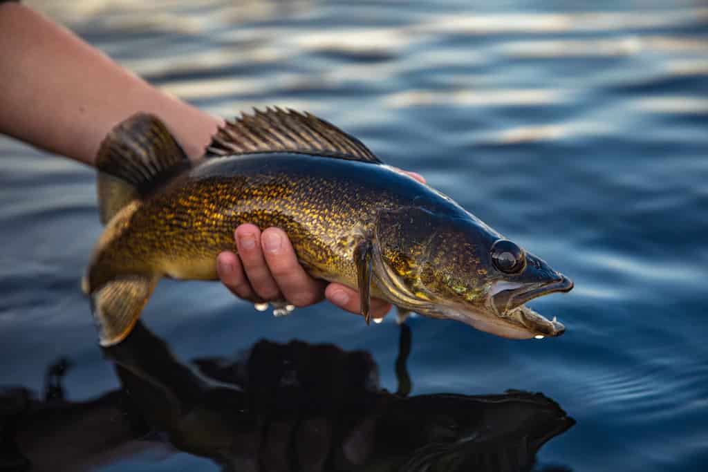
Walleye, a freshwater fish in the perch family, thrive in the St. Marys River.
©Harlan Schwartz/Shutterstock.com
What To Do On the St. Marys River
Tourists come from all around to view boats traversing the world-famous Soo Locks. Upstream from the city of Sault Ste. Marie sits at the mouth of the St. Marys River, Whitefish Bay.
The bay is a popular spot for kayaking, paddleboarding, and canoeists. Additionally, nearby hiking trails offer stunning views of Lake Superior and the St. Marys River. The area is also an attraction for outdoor activities like bird watching and fishing.
St. Marys River Islands
The St. Marys River passes by several islands as it flows south to Lake Huron. In Michigan, these include:
- Drummond Island
- Neebish Island
- Sugar Island
- Lime Island
These remote islands, only accessible by ferry, are perfect tourist destinations for nature lovers and those looking to disconnect from technology.
Where is the St. Marys River Located on a Map?
The river located in Michigan’s Upper Peninsula and Ontario, Canada, flows southeast from Lake Superior over the rapids and into Lake Huron.