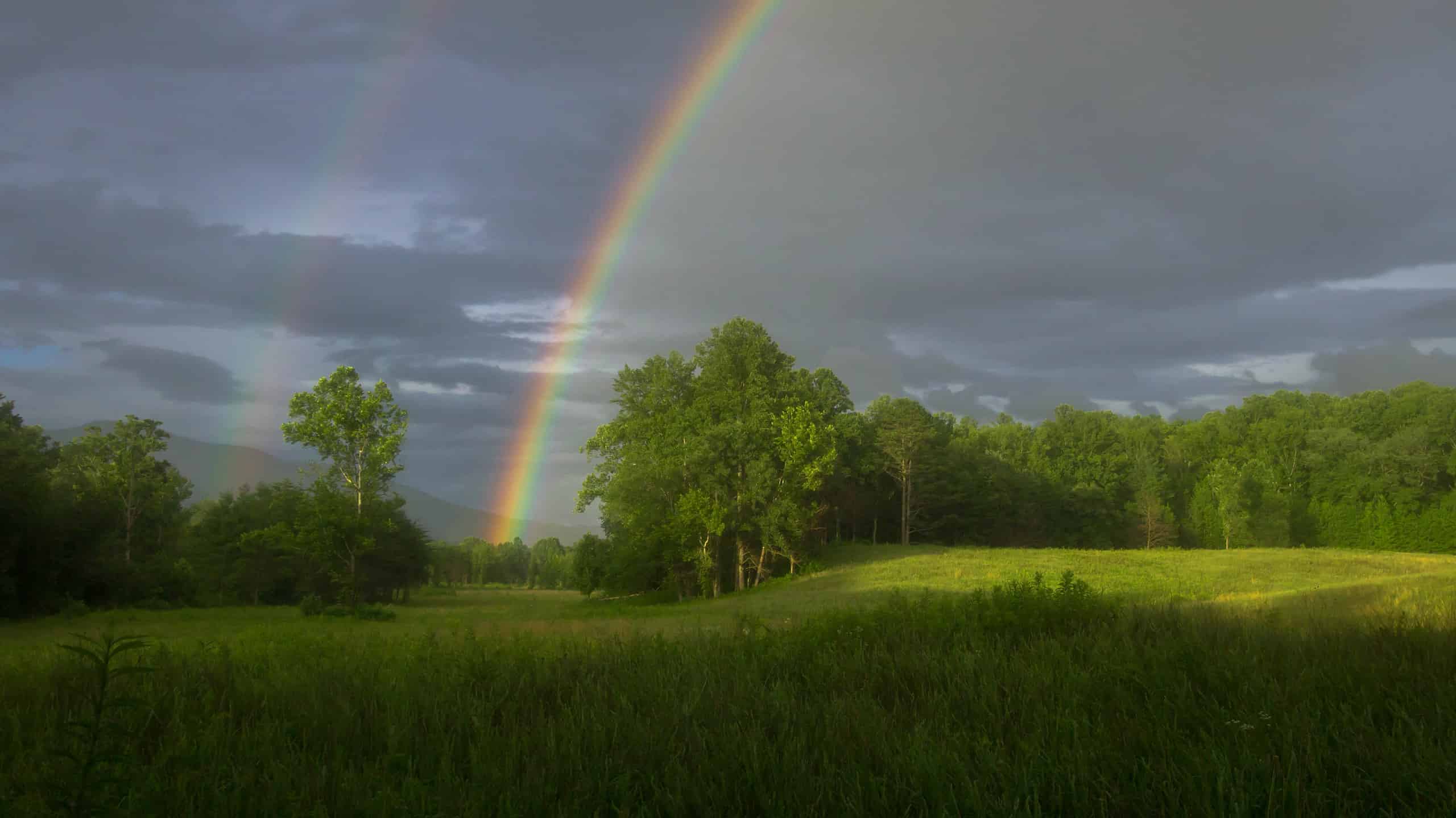

When considering precipitation extremes in the United States, Hawaii and Nevada are the clear winners. Hawaii is the rainiest state, with an average of nearly 64 inches of rainfall per year. Nevada is the driest state, with just over ten inches of rain on average each year. Where does Tennessee finish in this rainfall race? With its subtropical climate, the Volunteer State certainly leans toward the wetter side of the spectrum. Tennessee is the sixth rainiest state in the U.S., with a statewide average of nearly 52 inches of rain per year. But the rainiest parts of the state receive even more than that. So where is Tennessee’s rainiest place?
Tennessee is the sixth rainiest state in the nation, which allows for a proliferation of flora such as the Eastern redbud tree.
©Malachi Jacobs/Shutterstock.com
Tennessee’s Rainiest City
With almost 60 inches of rain per year, the title of “Rainiest City in Tennessee” goes to Lawrenceburg. This city of 11,726 residents (according to U.S. Census 2022 projections) is the county seat of Lawrence County. Lawrenceburg is in southern Tennessee, less than a half-hour drive from the Tennessee/Alabama border. It is the largest southern Tennessee city between Memphis to the west and Chattanooga to the east.
Lawrenceburg’s location in the center of southern Tennessee makes it a prime location for rain. Moisture from the Gulf of Mexico streams up from Alabama (the fourth wettest state in the nation), accounting for much of the impressive rainfall totals for Lawrenceburg. Located on a plateau in the Appalachian Mountain range, Lawrenceburg sits at just under 900 feet above sea level. It is also situated on the windward side of the Appalachians. As we will see, that mountain range creates markedly different weather patterns in different parts of the state.
This is not to say that it rains all the time in Lawrenceburg, though. The rainiest city in Tennessee still features around 200 days of sunshine per year.
Lawrenceburg Landmarks
Lawrenceburg is home to David Crockett State Park. This 1,319-acre park features over 100 campsites, trails, boat docks, and a full range of recreational facilities. It also has a museum and water-powered grist mill honoring its namesake, David “Davey” Crockett.
There is also a statue of Crockett in Lawrenceburg’s Downtown Square. The famous pioneer, soldier, and politician was born in northeast Tennessee in 1786. He moved to Lawrence County in 1817, where he built a powder mill, gristmill, and distillery on Shoal Creek (where the state park is located today). All were lost during a flood in September 1821. Lawrenceburg is, after all, the rainiest city in Tennessee.

The David Crockett statue welcomes visitors to Lawrenceburg’s Downtown Square.
Where is Lawrenceburg Located on a Map?
Lawrenceburg is the official birthplace of Southern Gospel Music, its town website proclaims. It lies 80 miles southwest of Nashville on the banks of Shoal Creek and was named after a War of 1812 Navy officer, James Lawrence.
The Most Precipitation in Tennessee
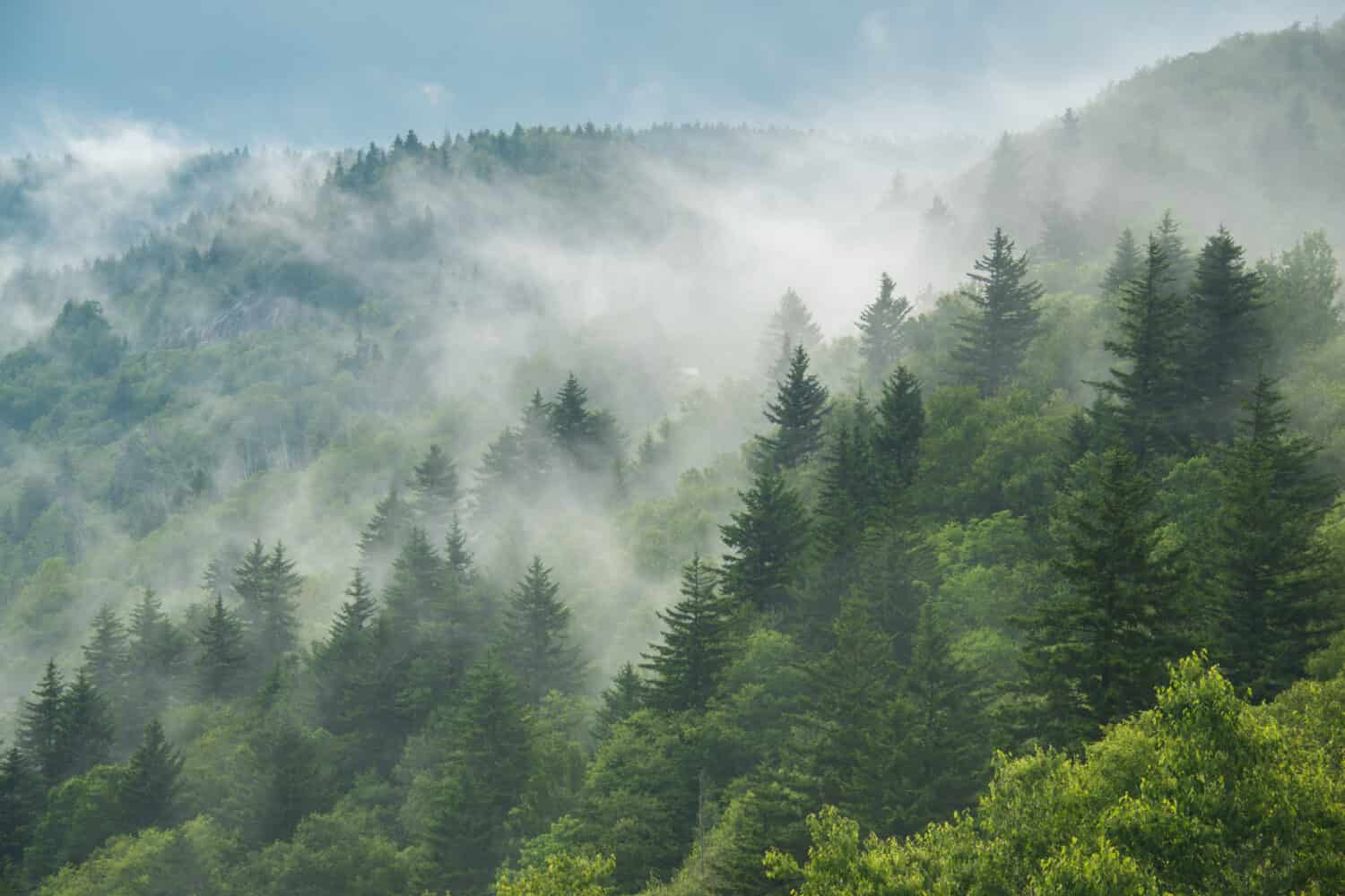
While Lawrenceburg is the rainiest populated area in Tennessee, it is still relatively dry compared to the precipitation in the uninhabited upper elevations of the Appalachian Mountains to the east/northeast. It rains so often in the upper elevations that parts of the Smoky Mountains in Tennessee are considered a temperate rainforest. Clingmans Dome in the Great Smoky Mountains National Park is the highest point in Tennessee and is considered a coniferous rainforest.
Two peaks in these Tennessee mountains receive more precipitation than any other location in the state. Mount Leconte sees over 82 inches of precipitation per year, while Clingmans Dome receives 85 inches. Up to half of these amounts can come in the form of snow, which is why these peaks don’t win the prize for the rainiest spot in Tennessee. But, with the combination of snow and rain, they are most certainly the state’s wettest places by a wide margin. During its driest month of the year (September), Mount Leconte still receives over five inches of precipitation!
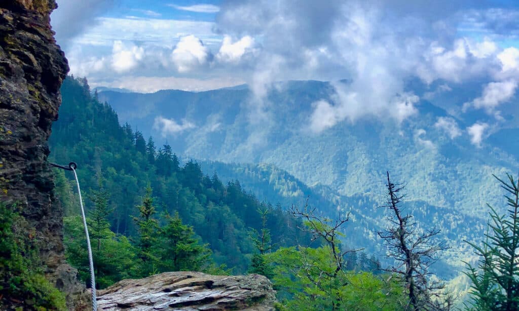
Mount Leconte receives over 82 inches of precipitation each year!
©Sara Parlier/Shutterstock.com
Wildlife in This Wet State
The humid and wet environment of Tennessee’s subtropical climate creates an environment that abounds with flora and fauna. In fact, around 20,000 species of plants and animals have been discovered in the Great Smoky Mountains National Park alone. There may be thousands more yet to be discovered.
Mammals
The rainy climate provides a perfect growing environment for plants and grasses that feed the state’s herbivores. White-tail deer are the most numerous large mammal in Tennessee, with numbers estimated at around 900,000. These deer are found in all of Tennessee’s 95 counties.
When herbivores such as deer proliferate an area, carnivores are also sure to be found in large numbers. Coyotes and bobcats commonly prey on deer, especially fawns.
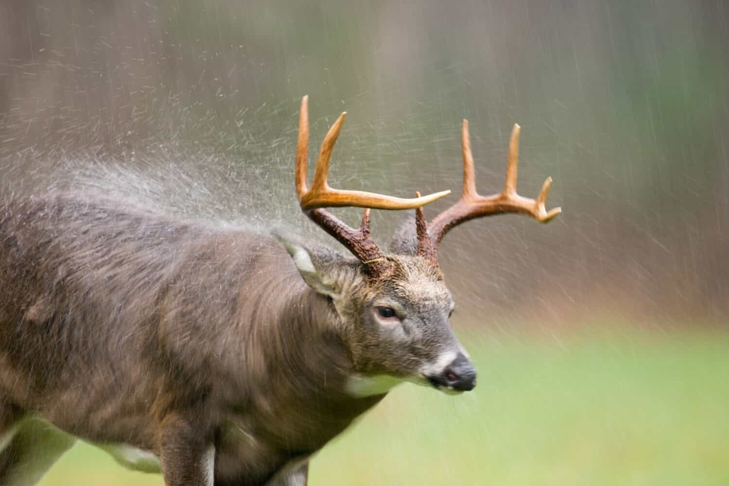
White-tail deer thrive in Tennessee’s rainy climate, such as this large buck in the Great Smoky Mountains National Park.
©Tony Campbell/Shutterstock.com
Tennessee’s famous black bears also prey on deer, but these omnivores thrive on the bounty produced by the state’s rainy climate. Black bears gorge themselves on wild cherries and berries during the summer months. They also eat nuts, roots, and grasses that grow in Tennessee. Acorns are an especially important part of the black bear’s diet when it needs to pack on pounds of fat ahead of its winter slumber. While these bears are the largest predators in Tennessee, eighty-five percent of their diet comes from berries and nuts. The nearly 6,000 black bears that call Tennessee home depend on the state’s rainy subtropical climate to provide the food sources they need to thrive.
With so many waterways, semi-aquatic mammals such as beavers and American minks can be found across the state.
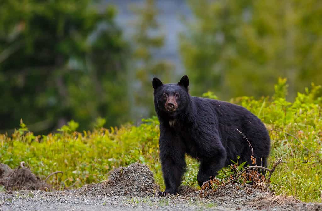
Tennessee’s wet environment is perfect for black bears.
©Menno Schaefer/Shutterstock.com
Amphibians and Reptiles
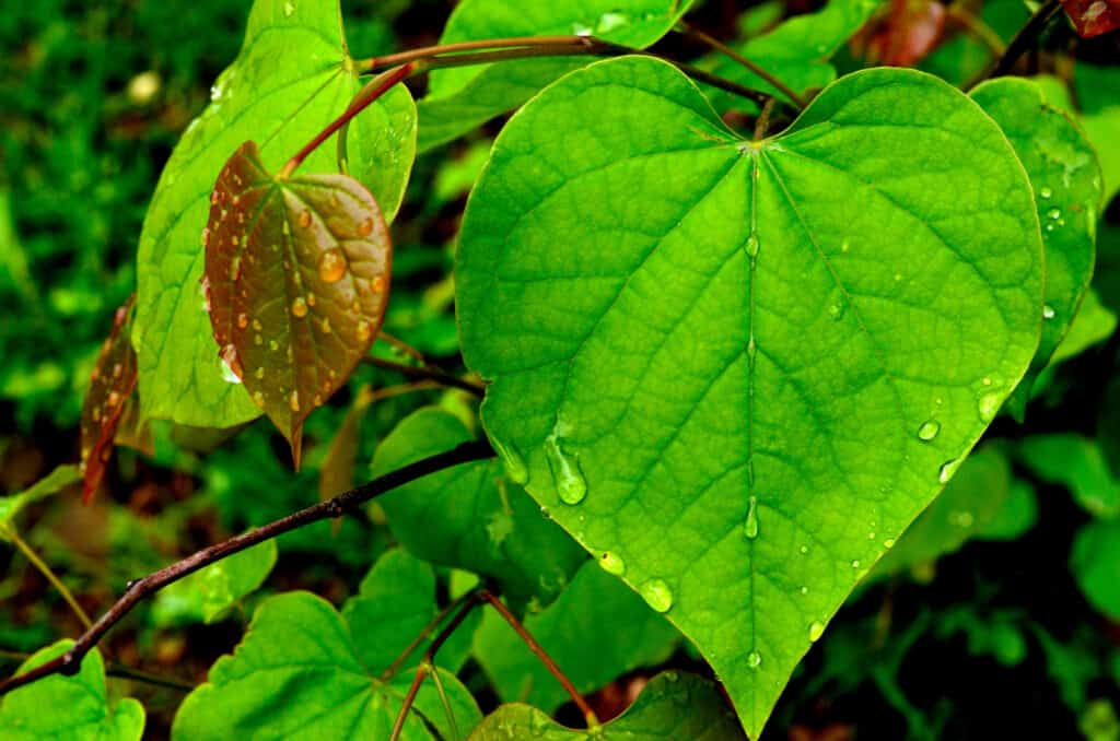
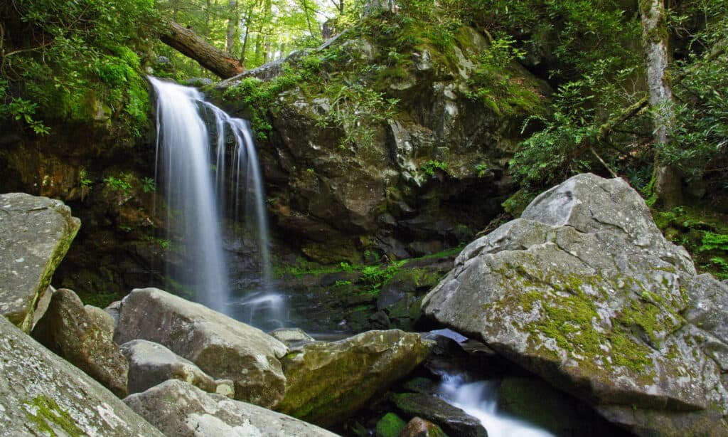
The moist climate in Tennessee also allows amphibians and reptiles to proliferate. Salamanders, for example, thrive in the state. In fact, the Great Smoky Mountains are known as “The Salamander Capital of the World.” Over 30 species of these amphibians live in the National Park, more than anywhere else in the world. The rainy climate and bountiful waterways make it a perfect salamander habitat.
Snakes such as northern watersnakes and midland watersnakes thrive in Tennessee’s watery environments, as do queen snakes and cottonmouths. Reptiles such as skinks and other lizards, turtles, and frogs also proliferate in the state.
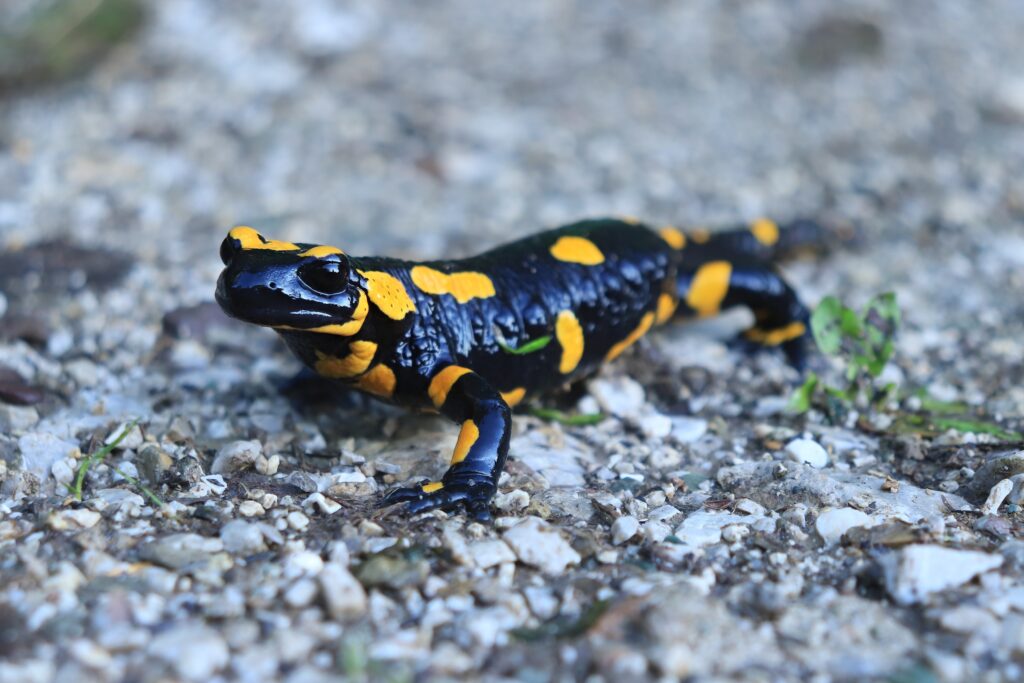
Tennessee’s Smoky Mountains are the “Salamander Capital of the World.”
©TomSchr/Shutterstock.com
Waterbirds
Waterfowl abound in the Volunteer State. Great blue herons, Canada geese, and over 20 species of ducks are common sights in Tennessee. There’s an old rainy day saying that states, “It’s a good day for ducks.” In Tennessee, that old axiom proves true. There is a lot of rain, and there are a lot of ducks!
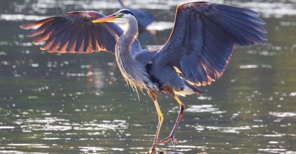
Great blue herons are common sights around Tennessee’s many waterways.
©VDV/Shutterstock.com
Driest Region in Tennessee
The mountainous terrain in Tennessee has a significant impact on the weather throughout the state. When air reaches the mountains, it is forced up and over the barrier. As the air moves over the windward side of the mountains, it cools, and the volume increases. This orographic lift causes increased precipitation.
After the air passes over the mountains, it moves back down the leeward side, where it warms and dries out. This can create what is known as a rain shadow. Areas east of a mountain range are often significantly drier than areas west of the same mountains. It is more pronounced with higher mountain ranges like the Sierra Nevada mountains. Death Valley is the driest place in the United States because it sits in the rain shadow of the Sierra Nevada mountain range.
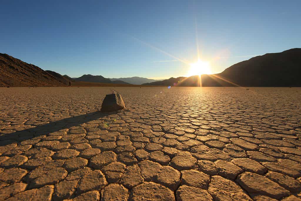
Death Valley is the driest place in the United States because it sits in the rain shadow of the Sierra Nevadas.
©Katrina Brown/Shutterstock.com
The Appalachian Mountains
While not nearly as severe as the Sierra Nevadas, the Appalachian Mountains create a bit of a rain shadow. Northeast Tennessee is typically the driest part of the state. The air is “wrung out” as it passes over the Smoky Mountains, meaning it holds less moisture by the time it reaches the northeast part of the state. For example, Bristol is the driest place in the state. The city only receives around 41 inches of rain per year, over ten inches less than the statewide average. That hardly makes Bristol a desert, though. It is still above the national average for rainfall in the United States as a whole, but it is less than half of the precipitation that falls in the upper elevations of the Appalachian Mountains.

Bristol, Tennessee is the driest city in the state, which works out well for the races at Bristol Motor Speedway.
Wettest and Driest Months
On average, the wettest month in Tennessee is May, with nearly five and a half inches of rain. The driest month is October, with less than three and a half inches of precipitation. Given the mountainous topography of the state, though, these are extremely broad generalizations.
For most of the state, the highest precipitation totals are seen in the late winter and spring when large-scale storms become more frequent. A close second is mid-summer, when increased thunderstorm activity can bring significant rainfall. This is especially seen in the high mountain elevations. June and July are the wettest months for Tennessee mountain peaks.
The moisture in the mountains of Tennessee creates a “smoky” image, hence the name “Smoky Mountains.”
©jadimages/Shutterstock.com
Flood Danger
Since Tennessee is the sixth wettest state in the nation, it is not surprising that flooding is a concern throughout much of the year. This is especially true in the spring, though it can occur at any point during the year. Dam construction on the Tennessee and Cumberland Rivers, as well as associated lakes, have significantly lowered flooding risks from historical levels, but nothing can completely eliminate the danger. Spring rains or a torrential summer thunderstorm can still cause a flash flood or even areal flooding.
A Rainy State Economy
Because of the subtropical climate and significant rainfall, about half of Tennessee’s land area is forested, covered mostly with hardwood trees. The timber industry is a major contributor to the state’s economy.
Agriculture also booms in the state. Corn, hay, and cotton are the three main crops grown on Tennessee farms.
All this water also keeps the state’s waterways flowing. Tennessee boasts 60,417 miles of rivers, streams, and creeks. Fishing and other recreational activities are economic boons for the state. Also, the bountiful waterways in the state have created a haven for industry, especially chemical processing plants. The state’s major rivers (Mississippi, Cumberland, and Tennessee) are also vital commercial shipping routes. The waterways also allow for dams that create low-cost hydroelectric power for the state’s residents. Tennessee is the sixth rainiest state in the nation, and Tennesseans know how to put all that rain to good use!
Tennessee is home to nearly 10,000 streams.
©iStock.com/Wilsilver77


How to Add Us to Google News


Thank you for reading! Have some feedback for us? Contact the AZ Animals editorial team.