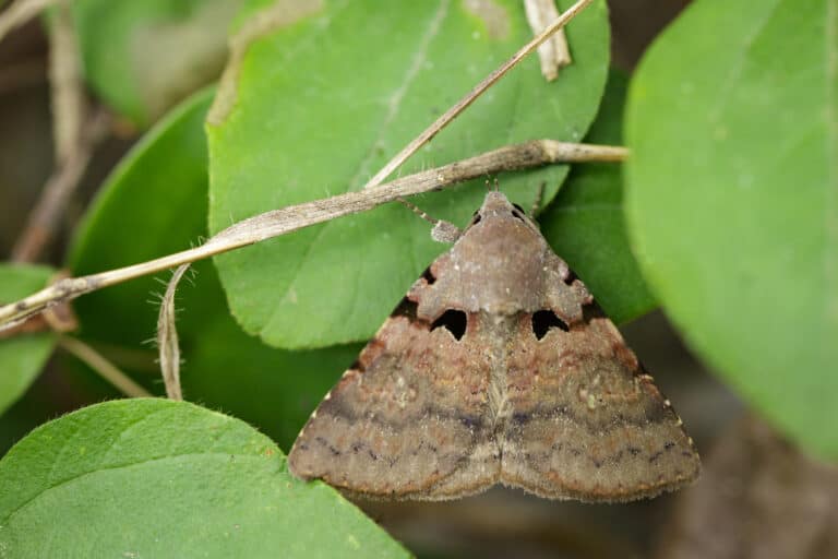
Gypsy Moth
Big appetite. Big forest impact.

Big appetite. Big forest impact.
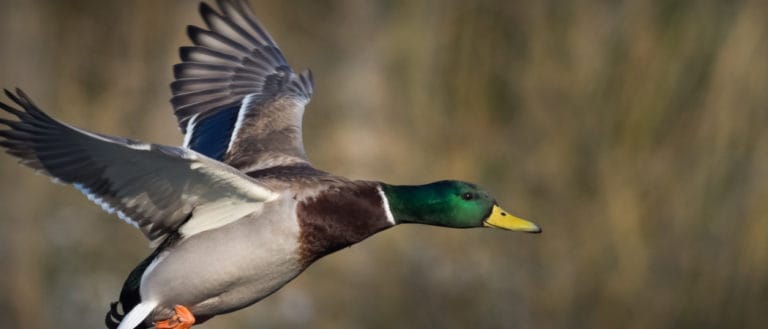
The adaptable original duck
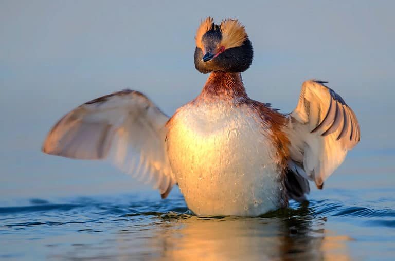
Golden horns, master of the dive
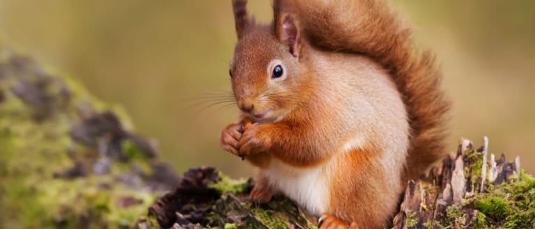
Tufted ears, forest engineer

Booming monarch of the night cliffs
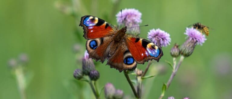
Flash the eyespots-vanish the rest!
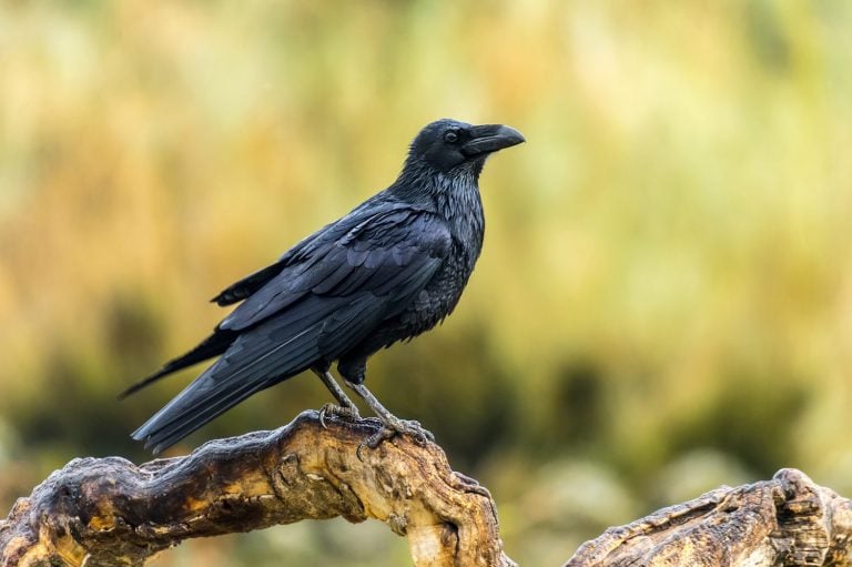
Wedge tail. Deep croak. Big brain.
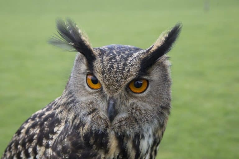
Tufts up, talons down.
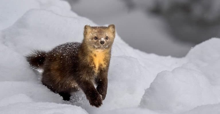
Taiga's "black gold" marten
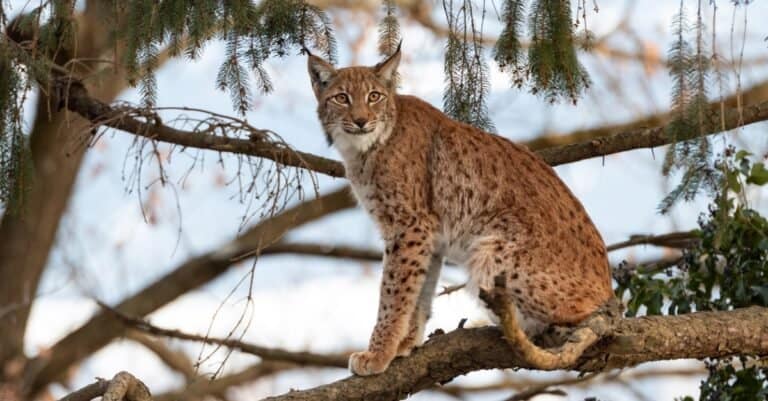
Silent forest hunter with tufted ears
Inner Mongolia Autonomous Region sits where the Mongolian Plateau meets milder northern China. Big skies cover grassland steppes, dune and gravel deserts by the Gobi, and island-like mountain and riverside forests that shelter wildlife in the open land. Seasons are extreme; wide ranges and long migrations shape animals from swift-running ungulates to steppe raptors that soar on warm air. Key places include Xilingol and Hulunbuir grasslands (core steppe life, grazing herbivores, many raptors), Horqin and Alxa deserts (dry-adapted communities around oases, rocks, and dunes), and the forested Greater Khingan and Yin Mountains (cooler refuge for forest mammals and woodland birds). Rivers, wetlands, and closed lakes dot the plains and serve as critical waterbird sites and migratory stops. Inner Mongolia’s sharp steppe-to-desert shift and east–west contrast give a wide mix of wildlife not seen in more wooded provinces.
Inner Mongolia lies along the southern Mongolian Plateau, from temperate forests in the northeast through steppe to deserts in the west. It gets drier east to west; mountains and rivers shape wildlife zones: forest and wetland animals in Greater Khingan–Hulunbuir; grassland species in Xilin Gol; desert animals on Alxa/Gobi. The Yellow River Hetao bend and large lakes are key refuges.
Approx. ~80 m in low river/floodplain basins to ~2,300 m on higher mountain summits (with locally higher peaks along the Helan range); broad plateau elevations commonly ~900-1,500 m supporting extensive steppe habitats
No ocean coastline; important inland waters include large steppe lakes and wetlands such as Hulun Lake (Dalai Lake), Buir Lake, and Wuliangsuhai (Yellow River-connected wetland), which concentrate waterbirds and other wildlife in semi-arid regions
Inner Mongolia's protected areas are built around China's National Nature Reserves (NNRs), with forest parks, wetland parks, geoparks, and local grassland and scenic areas. Protection focuses on three habitats: Mongolian Plateau steppe and meadow steppe (grassland mammals, raptors); Alxa/Ordos deserts and oases (arid specialists); and Greater Khingan forest and wetland mixes (boreal animals, migratory waterbirds). Some sites are Ramsar wetlands.
≈14% of land area (rough estimate; varies by dataset and whether forest parks/scenic areas are counted alongside strict nature reserves).
Forested volcanic highlands with cold lakes, bogs, and mixed conifer-birch forests; good for viewing northern forest birds and mammals and for protecting headwater habitats in the Greater Khingan region.
High-elevation meadow steppe with wind-swept grasslands and seasonal wetlands; valued for grassland birdlife and as a remnant of relatively intact steppe near developed corridors.
A rare forested ravine and riparian woodland system within the Horqin sandy land matrix; important as a biodiversity refuge and migration corridor in a heavily modified steppe-sand landscape.
Saline lake and surrounding steppe/wetlands supporting large migratory bird numbers; a well-known site for waterbird observation and for protecting breeding/stopover habitat on regional flyways.
Specialized breeding-area protection for the globally vulnerable relict gull in inland lakes/sandy steppe settings; a priority site for species recovery, disturbance management, and wetland safeguarding in arid northern China.
Floodplain meadows, oxbows, and marshes along the Argun/Erguna river system; important for migratory waterbirds and as a large, relatively open wetland-grassland landscape near the China-Russia-Mongolia border region.
Inner Mongolia Autonomous Region spans some of East Asia's most extensive temperate grasslands, semi-deserts and true desert margins (Gobi/Alxa), plus forest-steppe and mountain systems (e.g., Greater Khingan). This habitat mosaic creates a classic "Mongolian Plateau" wildlife experience: wide-ranging grazers (gazelles, wild asses), steppe carnivores (foxes, wolves, Pallas's cat), and a strong concentration of migratory waterbirds using large lakes and wetlands (Hulun Lake, rivers and steppe lakes) along major flyways. Biodiversity is highest where grassland, wetland, and forest-steppe meet, while the desert west supports specialized, low-density but distinctive fauna.
Inner Mongolia Autonomous Region offers big-sky wildlife in Hulunbuir steppe and wetlands, Khingan mountain forests, Ordos and Alxa Gobi edges, and the Yellow River corridor. See Mongolian gazelle, corsac fox, marmots, cranes, swans, bustards, raptors, plus desert species like goitered gazelle, sandgrouse and reptiles. Best at dawn/dusk, near water, during migration. Distances are large—plan multi-day trips and use local guides/4WD.
Peak bird migration through wetlands and river valleys; cranes, swans, geese, and raptors move north. Steppe greens up, making mammal viewing easier. Winds can be strong; pack layers and dust protection. Good time for Hulunbuir wetlands and the Yellow River corridor (Bayannur/Wuhai).
Lush grasslands and breeding season for many birds; active ground squirrels/marmots and frequent raptor encounters over open country. Best overall comfort in the northeast (Hulunbuir/Greater Khingan). In desert regions it can be very hot mid-day-plan early/late drives and night spotlighting where permitted.
Second major migration wave-excellent for cranes, swans, and waterfowl staging at lakes and marshes. Clear air, golden steppe, and strong chances for raptors on passage. Cooler nights; ideal for combined steppe + desert itineraries (Hulunbuir then Ordos/Alxa).
Best for hardy winter specialties and dramatic snow scenes in the northeast forests/taiga edges (owls and northern finches possible) and for tracking mammals on snow. Many wetlands freeze, shifting birds to remaining open water and urban edges. Very cold and remote-requires serious logistics and a local guide/driver.
Inner Mongolia Autonomous Region stretches east to west across the Mongolian Plateau, changing from moist meadow, steppe, and forest-steppe in the east to arid desert-steppe, semi-desert, and cold deserts in Alxa/Alashan and Ordos. Mountain ranges (Greater Khingan, Yinshan, Helan) add higher forests; basins and large lakes support key wetlands. It links temperate forests of northeast China with Mongolia’s grassland-desert systems.
The biome is meadow steppe and typical steppe in the east/center (Hulunbuir, Xilin Gol), grading to desert-steppe in west and south; it supports pastoral land and many grassland species adapted to cold winters, summer drought.
Widespread across central and eastern Inner Mongolia; roughly ~45-60% of the region depending on how desert-steppe is classified.
Cold desert, semi-desert, and desert-steppe mosaics including Gobi-margin systems (Alxa/Alashan) and the Ordos Plateau; characterized by sparse shrubs, gravel plains, dune fields, and large temperature seasonality.
Concentrated in the west and southwest (Alxa/Alashan) and south (Ordos); roughly ~25-40%.
Temperate forests and forest-steppe, especially on the Greater Khingan (Da Hinggan) range and other higher/moister zones; includes mixed broadleaf-conifer and birch/aspen stands, with forest-steppe ecotones along drier edges.
Primarily northeast and some montane pockets; roughly ~5-15%.
Cold-tolerant larch-dominated forests at higher latitudes/elevations in the Greater Khingan area, transitioning toward taiga-like conditions with long winters and frequent fire influence.
Localized in far northeast and higher parts of the Greater Khingan; small proportion (~1-5%).
High-elevation conditions on the region's mountain ranges (e.g., upper slopes/ridges of Greater Khingan and other uplands) with cold, windy environments and meadow/rocky communities rather than extensive treeline alpine tundra.
Patchy and limited to mountain tops and high ridgelines; <1-2%.
Large lakes and river systems (e.g., Hulun Lake, sections of the Yellow River, Nenjiang/Argun headwaters and tributaries) supporting fish, waterbirds, and riparian corridors across steppe and desert landscapes.
Linear and basin-focused features throughout; small area overall (<2-4%) but high ecological importance.
Steppe and desert-associated wetlands including reedbeds, floodplain marshes, lake-margin swamps, and important stopover/breeding sites for migratory birds (e.g., Wuliangsuhai and lake margins in Hulunbuir).
Scattered, often concentrated around lakes and floodplains; generally <1-3%.
Typical and meadow steppe landscapes (notably Xilin Gol and Hulunbuir), forming the core pastoral ecosystems with strong east-west moisture gradients.
Broad grassland cover including managed grazing lands and native steppe; key to regional carbon storage and erosion control when intact.
Desert-steppe and semi-desert shrub communities (e.g., Artemisia and other drought-tolerant shrubs) common in transitional belts around major deserts.
Gobi-margin gravel deserts and dune fields, especially in Alxa/Alashan and parts of Ordos; supports cold-arid specialists and highly mobile sandy substrates in places.
Larch and pine-dominated forests mainly on the Greater Khingan; often shaped by fire regimes and cold winters.
Birch, aspen, and mixed deciduous patches in forest-steppe and montane zones, especially along moister slopes and ecotones in the northeast.
Open forest and forest-steppe mosaics at the margins of closed forests, forming important transition habitat between steppe and forest.
Greater Khingan and other ranges (including Yinshan influences) creating elevational gradients, cooler microclimates, and localized refugia for forest and meadow species.
High, cool meadow communities on upper slopes/ridges where conditions limit dense tree cover; typically small and patchy.
Major corridors including stretches of the Yellow River and northern river systems; riparian zones are biodiversity hotspots in otherwise dry steppe/desert contexts.
Large lakes such as Hulun Lake and other endorheic basins that drive local wetland productivity and waterbird habitat.
Lake-margin and floodplain wetlands with extensive reeds in places (notably Wuliangsuhai), important for migratory birds and nutrient cycling.
Reedbeds and shallow marshes around lakes and slow-moving waters; seasonality and water diversion strongly influence extent and quality.
Localized peat/peaty wetland patches in cooler, wetter northeastern forested areas (small but ecologically distinct).
Cropland concentrated in more arable eastern and river-adjacent zones; creates fragmentation and pressure on steppe/forest-steppe ecotones.
Urban/industrial nodes (e.g., Hohhot-Baotou-Ordos corridor and eastern cities) with localized habitat loss and pollution pressures, plus urban green spaces of limited ecological value compared to native habitats.
Despite being a "gull," the endangered Relict Gull (Ichthyaetus relictus) is strongly tied to inland saline and brackish lakes on the Ordos Plateau and Alxa edges-breeding far from any ocean coastline.
Mongolian gazelles in Inner Mongolia don't follow a single fixed migration route; tracking studies across the Mongolian Plateau show they shift their movements year-to-year, essentially "chasing" rainfall and fresh green-up across the steppe.
Pallas's cats in Inner Mongolia typically don't dig their own dens-many raise kittens in abandoned burrows of marmots or other small mammals, making them unexpectedly dependent on the steppe's "ecosystem engineers."
Some Gobi-margin rodents in western Inner Mongolia, like jerboas and gerbils, can go long periods without drinking. They get water from seeds and plants, surprising visitors who expect desert animals to drink often.
Desert-edge lakes and reedbeds near Hulun Lake and other Hulunbuir wetlands act like busy “airports” for cranes, geese, and swans, as open grassland and semi-desert let them spot danger and rest and feed.
Inner Mongolia is one of the few places in China where you can still find the argali (Ovis ammon)-the world's largest wild sheep-especially in the Alxa (Alashan) region's desert mountains and along the Helan Mountain borderlands.
The Xilingol and Hulunbuir steppes are among China's key strongholds for the Great Bustard (Otis tarda), one of the heaviest flying birds on Earth (males commonly exceed 10 kg).
Hulun Lake (Dalai Lake) in Hulunbuir-Inner Mongolia's largest lake-regularly hosts major concentrations of migratory waterbirds on the East Asian-Australasian Flyway, including the Whooper Swan (Cygnus cygnus), one of the largest swan species in the world.
Inner Mongolia's steppe-Gobi transition zone supports Pallas's cat (Otocolobus manul), famous for having the densest fur of any cat-an extreme cold-weather adaptation well-suited to the windswept grasslands and rocky outcrops here.
Hulunbuir's border grasslands form China's most important range for Mongolian gazelle (Procapra gutturosa), part of one of Eurasia's last large, still-mobile steppe ungulate systems; herds in this region can gather in the thousands when conditions are right.
51 species documented in our encyclopedia
Thank you for reading! Have some feedback for us?
We appreciate your help in improving our content.
Our editorial team will review your suggestions and make any necessary updates.
There was an error submitting your feedback. Please try again.