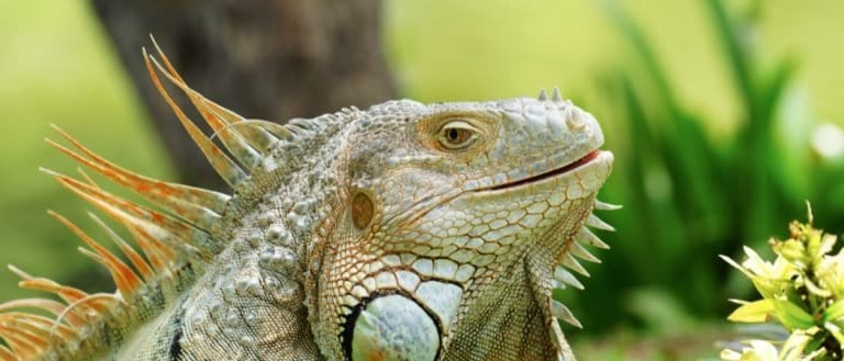
Iguana
Sun-powered lizards of the Americas
Sun-powered lizards of the Americas
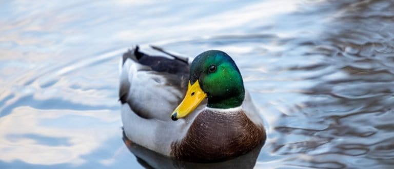
Webbed feet, world travelers.

Pouches, burrows, and big impacts
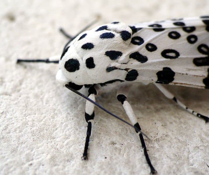
Six legs, endless lives.

Small hunter, big household legend
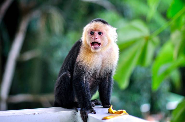
Hands, minds, and social lives
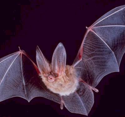
More than night flyers
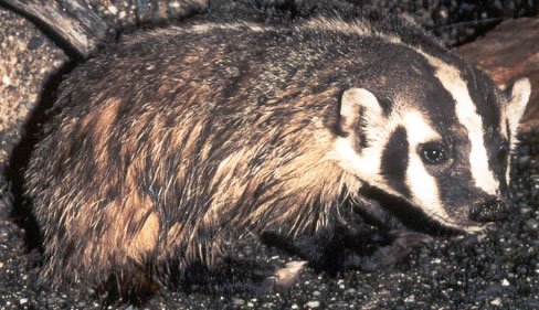
Built to dig. Born to endure.

Sting-powered drifters of the sea
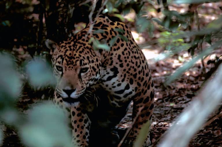
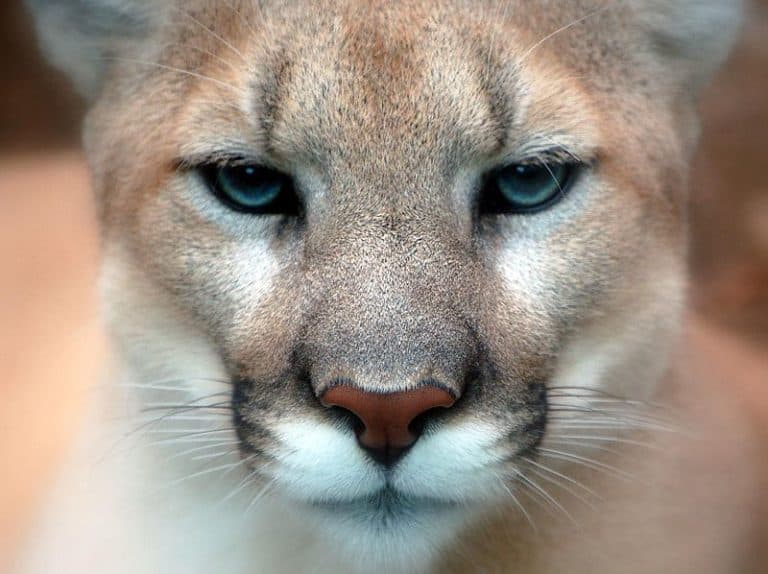
Power of the Americas' apex cat
A freshwater biome comprises inland aquatic ecosystems with low dissolved salt concentrations (typically <0.5‰ salinity), including flowing waters (lotic systems such as rivers and streams) and standing waters (lentic systems such as lakes and ponds). These ecosystems are structured by hydrology, temperature and oxygen dynamics, and nutrient and sediment inputs, which together regulate biological communities and ecosystem processes.
Freshwater biomes are inland waters—rivers, streams, lakes, and ponds. They cover little of Earth but hold many species and give vital services like moving nutrients and supporting food webs. Flow, depth, mixing, and watershed links shape each system. Gradients—riffles, pools, and layered lake zones—create habitats for plants, plankton, invertebrates, fish, amphibians, waterfowl, and mammals. Because they touch the land, they quickly respond to climate or land use change. Healthy watersheds keep water clean and reduce floods.
Freshwater biomes (rivers, streams, lakes, ponds) occur in almost all climates. Climate controls water temperature, ice cover, flow, and nutrients and oxygen levels. Air temperature and rain or snow drive warm-season low oxygen, winter ice, and water levels. Floods move nutrients and shape habitat. Main controls are freeze vs no-freeze and timing and strength of rain and snowmelt.
Highly variable by region; commonly ~20-40°C in temperate basins (e.g., winter near/below 0°C and summer 20-30°C). In tropical lowlands the annual range may be <10°C; in continental/subarctic regions it can exceed 45-60°C between winter lows and summer highs.
Broadly ~300-2,500+ mm/year depending on region; many temperate freshwater-rich landscapes fall around ~600-1,500 mm/year. High-latitude systems may receive a large fraction as snow; arid-basin freshwaters may persist with <300-500 mm/year where fed by groundwater, mountains, or managed flows.
Seasonality in freshwater affects temperature, ice cover, and flow pulses. In temperate regions, spring warming and snowmelt cause high flows, carry sediment and nutrients, and trigger spawning. Summer brings stratification that lowers deep oxygen until fall turnover restores oxygen. Winter ice cuts light and photosynthesis. Monsoon wet seasons link habitats; dry seasons shrink pools, raise temperature and salinity, increasing competition.
Freshwater growing seasons vary with latitude and elevation. Temperate: ~120–200 days (late spring–fall) when water often exceeds ~10°C and light supports aquatic plants and algae. Tropical: ~300–365 days but may shorten in dry seasons. Subarctic/alpine: ~60–120 days due to ice cover and cold water.
Low air and water temperatures; lakes often ice-covered with inverse stratification (near 0°C under ice, ~4°C at depth); reduced light penetration; rivers/streams may have anchor ice, frazil ice, and reduced discharge or stable baseflow depending on precipitation/snowpack; dissolved oxygen (DO) can decline under ice, especially in shallow eutrophic ponds; metabolism and decomposition slow
Primary production reduced (light limitation + cold); nutrient cycling slows but can accumulate as ammonium/phosphorus under anoxic sediments; risk of winterkill in shallow nutrient-rich waters due to DO depletion; ice scouring can disturb littoral vegetation and benthos; overwinter survival becomes the main filter shaping communities
Ice-off and rapidly rising temperatures; high discharge from snowmelt/rain; strong mixing in lakes (spring turnover) equalizing temperature and oxygen; increased turbidity and suspended sediments; influx of dissolved and particulate nutrients from watershed; frequent floodplain connection in rivers
Nutrient pulses fuel phytoplankton/periphyton blooms once light improves; recolonization of scoured habitats; sediment redistribution reshapes channels and littoral zones; floodplain inundation boosts productivity and creates nursery habitat; potential for pollutant pulses (road salt, pesticides) and erosion-related siltation
Warm surface waters; lakes stratify (warm epilimnion, cool hypolimnion) with limited mixing; in eutrophic lakes, hypolimnetic oxygen depletion can develop; rivers/streams often at low flow in rain-poor summers, with higher temperatures and lower DO; higher light and longer days; aquatic vegetation peaks in littoral zones
High primary production; risk of harmful algal blooms (cyanobacteria) under warm, nutrient-rich, stable conditions; thermal stress and habitat compression for coldwater fish (restricted to cool, oxygenated refuges such as deep lakes, springs, shaded tributaries); increased predation and growth rates for many species; greater evaporative concentration can increase conductivity and pollutants
Cooling air temperatures; shortening days; increased storms and mixing; lakes undergo fall turnover (breakdown of stratification, oxygenation of deeper waters); rivers see rising flows with rains; leaf litter input increases (allochthonous carbon) and tannins in some waters; turbidity may increase with storms
Redistribution of nutrients and oxygen during turnover can stimulate a secondary productivity pulse; increased detrital food webs from leaf fall support shredders and microbes; improved oxygen in deep waters reduces summer hypoxia legacy; preparation for ice season as growth slows
Day Length: Day length varies strongly with latitude: minimal near the equator, extreme at high latitudes. Increasing photoperiod in spring is a key cue for plankton growth, macrophyte sprouting, and the timing of fish and amphibian reproduction (often interacting with temperature and flow). Long summer days elevate photosynthesis and can intensify stratification-driven oxygen depletion in productive lakes (high surface production + limited deep mixing). Shortening days in autumn helps cue diapause, migration, and shifts in energy storage, and contributes to reduced primary production even before temperatures reach winter minima.
Freshwater biomes occur on all continents as inland, low-salinity surface waters (rivers/streams, lakes/ponds, reservoirs) and associated floodplains. Their distribution follows climate (precipitation vs. evapotranspiration), topography and drainage networks, glacial history (many large lakes at mid-high northern latitudes), and tectonics (rift lakes), with strong local control from catchment geology, land use, and connectivity within watersheds.
Globally threatened; freshwater ecosystems show some of the fastest biodiversity declines of any biome, with widespread degradation of water quality, connectivity, and natural flow regimes despite stable-to-slowly changing total water surface area.
Freshwater habitats cover only about ~1% of Earth's surface yet support a disproportionately large share of biodiversity (often cited as ~10% of known species and roughly a third of vertebrate species).
"Freshwater" isn't always clear-cut: many rivers and lakes have salty or mineral-rich pockets, and some inland waters (like the Caspian Sea) are technically lakes but not freshwater.
A lake can be crystal-clear and still low in oxygen at depth; clarity often reflects low algae, not necessarily "health" throughout the water column.
Rivers aren't just moving water-they transport whole "food webs" downstream, including drifting insects and nutrient pulses that time fish spawning and bird migrations.
Some fish and invertebrates live in isolated springs or cave waters with no surface connection; a single spring system can host species found nowhere else.
Lakes can act like climate archives: layered sediments preserve annual signals (like tree rings) that scientists read to reconstruct past rainfall, fires, and pollution.
If you poured Lake Baikal into a standard 2-liter bottle, you'd need on the order of 10^16 bottles-an almost unimaginably large pantry.
The Great Lakes together contain about one-fifth of the world's surface freshwater, making them a "freshwater inland sea" system in terms of storage.
The Amazon's average flow is so massive that its freshwater plume can measurably freshen seawater far offshore, altering ocean color and salinity over huge areas.
A large river's floodplain can function like a seasonal "extra lake": during floods, water spreads out, slows down, and feeds wetlands that later drain back into the channel.
Deep rift lakes are like underwater mountain valleys: their depth creates stacked habitats (warm, bright surface layers over cold, dark deep zones) similar to traveling from tropics to polar conditions vertically.
A beaver pond can be a landscape-scale water filter in miniature, slowing flow and trapping sediments-like a natural settling tank built from sticks and mud.
Lake Baikal (Russia) is the world's deepest lake (~1,642 m) and also the largest by volume (~23,600 km³), holding about 20% of Earth's unfrozen surface freshwater.
Lake Baikal is also the world's oldest major lake (around 25 million years), giving evolution an unusually long time to produce endemic species.
Lake Superior is the world's largest freshwater lake by surface area (~82,100 km²)-big enough to cover a small country.
The Amazon River is the largest river by discharge, delivering roughly 20% of all river water that reaches the ocean.
The Congo River is the world's deepest river (measured depths exceed ~220 m), plunging deeper than many coastal ocean shelves.
Africa's rift lakes (especially Lakes Malawi and Tanganyika) are among the most species-rich lakes on Earth for fish, famous for explosive diversification of cichlids.
Lake Titicaca (Peru/Bolivia) is commonly cited as the world's highest navigable lake (~3,812 m above sea level).
Built to dig. Born to endure.
Night pilots of the mammal world
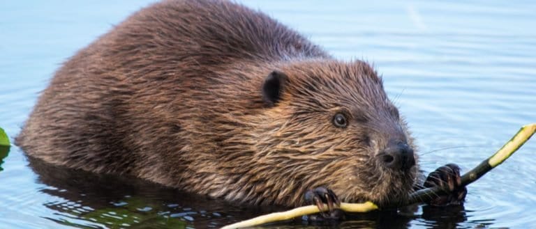
Build wetlands, shape worlds.
Small hunter, big household legend
One cat. Two continents.
Webbed feet, world travelers.
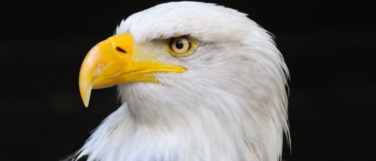
Built to soar, born to strike
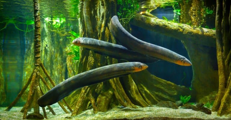
Lightning hunter of the Amazon
Bony rays, endless ways.
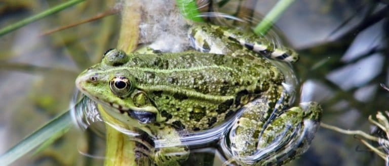
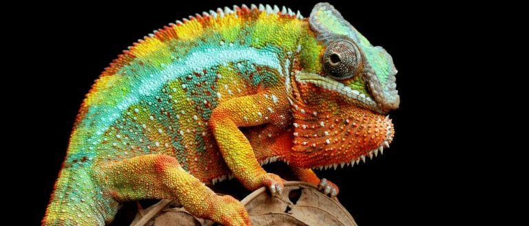
Tailless jumpers, masters of change
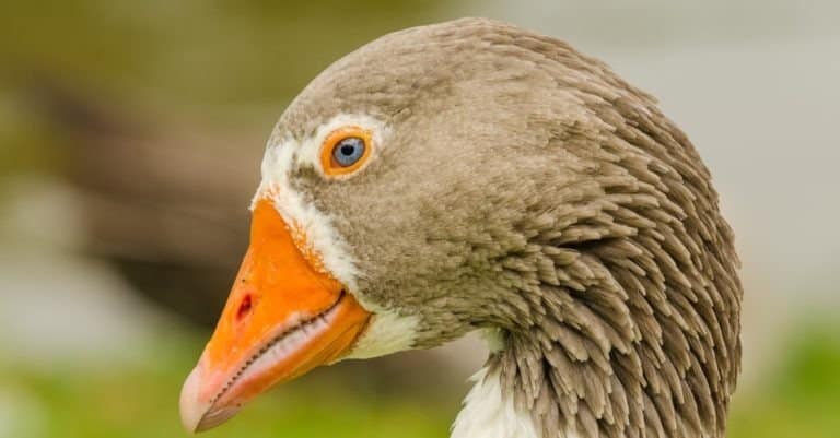
Webbed feet, sky roads, wetland lives
Pouches, burrows, and big impacts
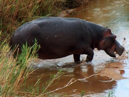
Big river grazer, bigger attitude
Sun-powered lizards of the Americas
Six legs, endless lives.
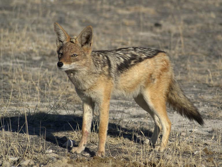
Small canids, big survival skills
Power of the Americas' apex cat
Sting-powered drifters of the sea
From geckos to dragons-lizard power
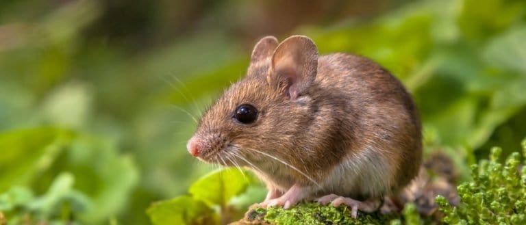
Small gnawers, huge impact.
Hands, minds, and social lives
More than night flyers
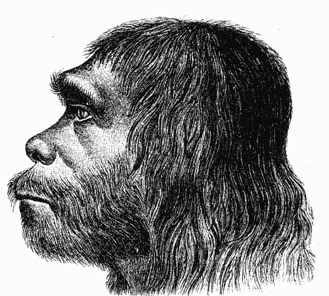
Not cavemen-Ice Age people
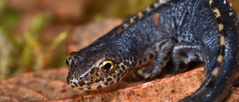
Crests, ponds, and potent defenses
Thank you for reading! Have some feedback for us?
We appreciate your help in improving our content.
Our editorial team will review your suggestions and make any necessary updates.
There was an error submitting your feedback. Please try again.