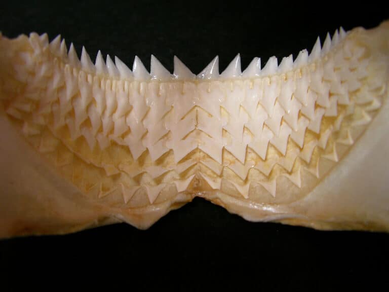
Kitefin Shark
Deep-slope slicer with a stealthy bite

Deep-slope slicer with a stealthy bite
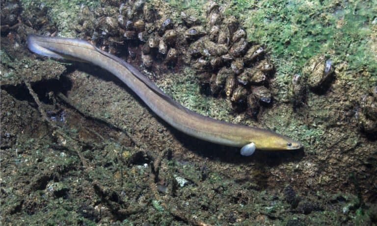
Born at sea, raised in rivers, return to spawn
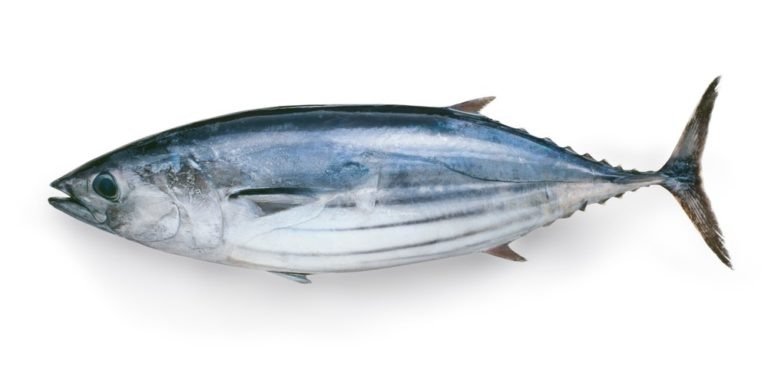
Speedy stripes, ocean hunters.
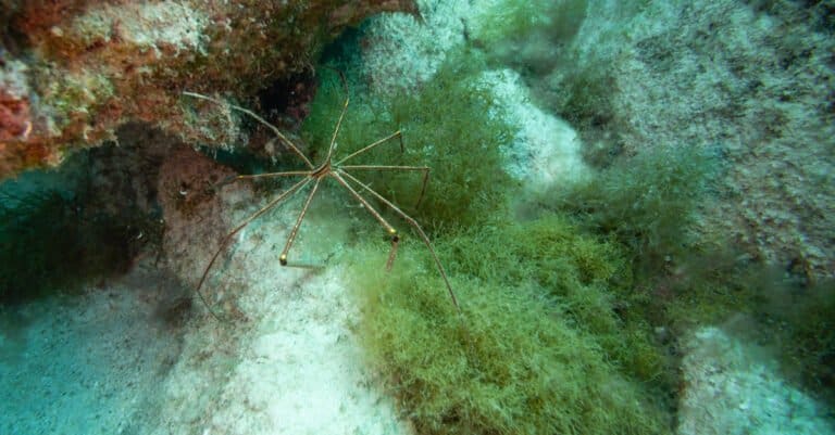
All legs, no land-meet Pycnogonida
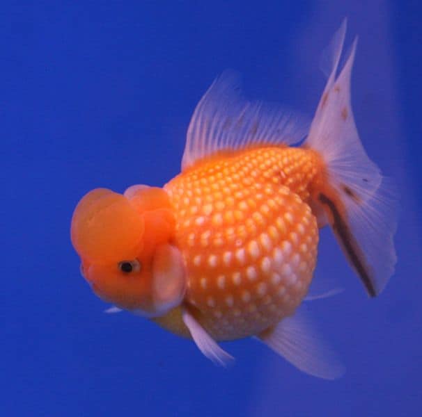
Bony rays, endless ways.
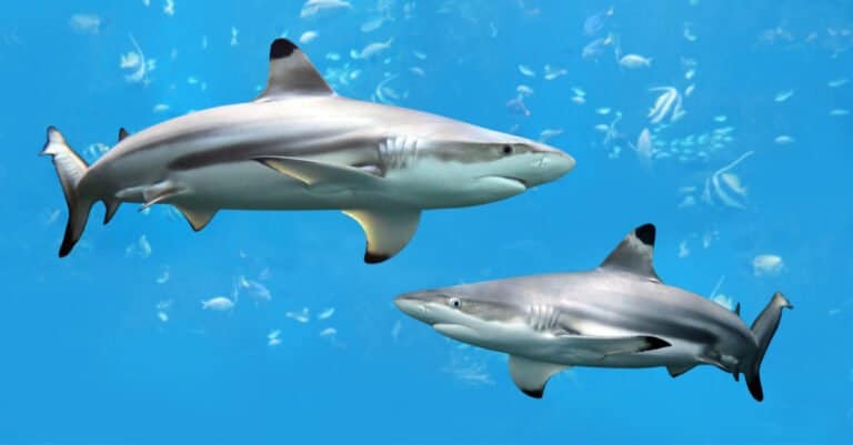
Black-tipped fins, built for speed.
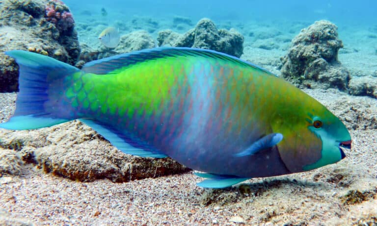
Beaks that build beaches
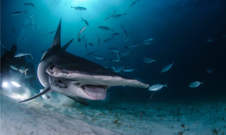
Biggest hammerhead, biggest comeback needed
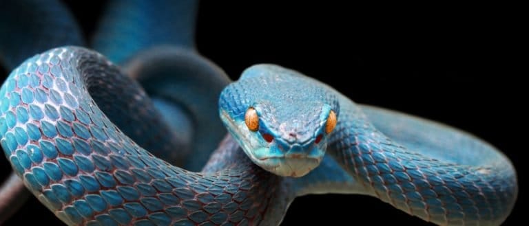
Built to glide, strike, and swallow
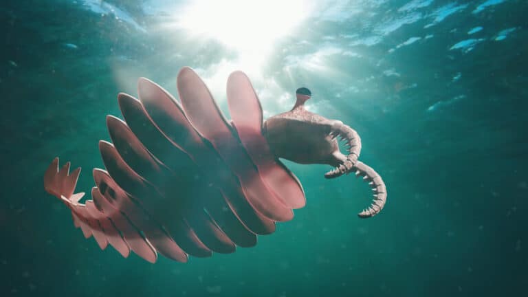
Cambrian seas' original superpredator
The South Pacific Ocean is the southern half of the Pacific Ocean basin, comprising marine waters south of the equator from Oceania eastward toward South America and extending into mid- and high-latitudes where it transitions to the Southern Ocean.
The South Pacific is the planet's largest expanse of open ocean in the Southern Hemisphere, stretching from the island arcs and volcanic hotspots of Oceania to the continental margin of South America. Much of its interior is dominated by the South Pacific Subtropical Gyre-one of Earth's clearest, most nutrient-poor (oligotrophic) regions-where warm, stratified surface waters limit nutrient supply and favor low-biomass plankton communities adapted to scarcity.
In contrast, the South Pacific also contains some of the most productive marine environments on Earth. Along the western margin of South America, persistent wind-driven coastal upwelling and the Humboldt (Peru-Chile) Current bring cold, nutrient-rich waters to the surface, fueling intense phytoplankton blooms and globally significant fisheries. Across the basin, island chains, seamounts, and reef systems create localized "hotspots" of mixing and productivity, while large-scale climate variability-especially El Niño-Southern Oscillation (ENSO)-periodically reorganizes temperature, currents, and food webs from the equator to the subtropics.
Etymology: "Pacific" derives from the Latin pacificus ("peaceful"). Ferdinand Magellan named the ocean the "Pacific Sea" in 1520 for the relatively calm conditions he encountered after passing through the Strait of Magellan into the Pacific; "South Pacific" is a geographic qualifier indicating the portion of the Pacific Ocean lying south of the equator.
Polynesian and Melanesian island chains, vast subtropical gyres, El Nino/La Nina influences, major trenches (Tonga-Kermadec), coral reef hotspots (SW Pacific)
The South Pacific Ocean is the portion of the Pacific Ocean south of the equator, spanning from the island-dense waters of Oceania in the west across the open South Pacific Gyre to the west coast of South America in the east, and extending southward toward the Southern Ocean.
Horizon Deep, Tonga Trench (near the Kingdom of Tonga)
Borders via the Coral Sea and Tasman Sea margins (eastern and southeastern Australia).
Extensive South Pacific coastline; adjacent to the Tasman Sea and open South Pacific.
Southern and eastern maritime zones connect into the greater South Pacific basin (including through the Coral Sea region).
Archipelago on the western South Pacific rim; influenced by major current systems and island arcs.
Island arc bordering deep basins and nearby trenches/ridges of the southwest Pacific.
Central southwest Pacific island nation within major basin and ridge systems.
Borders the Tonga Trench region, including some of the deepest waters in the South Pacific.
Central South Pacific islands associated with seamounts and volcanic chains.
Low-lying atoll nation within the western/central South Pacific.
Spans the central Pacific; its southern island groups (e.g., Phoenix/Line areas by convention) lie within the South Pacific.
Borders via overseas collectivities in the South Pacific (notably French Polynesia and New Caledonia).
Pacific coast of Chile and remote territories (e.g., Rapa Nui/Easter Island) border the eastern South Pacific.
Pacific coastline along the productive upwelling zone of the Humboldt (Peru) Current system.
Pacific coast southward from the equator and offshore islands (e.g., Galápagos are near the equatorial boundary).
North: the equator (transition to the North Pacific). West: Oceania and Australia/New Zealand margins, including the Coral Sea and Tasman Sea approaches. East: the Pacific margin of South America (Ecuador-Peru-Chile). South: the Southern Ocean/Antarctic Circumpolar region (commonly near ~60°S, varying by convention). Southwest: connects toward the Indian Ocean south of Australia (boundary varies by hydrographic convention).
Surface avg: ~20-24 °C (basin-wide average; ~26-29 °C in western tropical South Pacific, ~18-24 °C in subtropics, <10-15 °C at higher southern latitudes)
Deep avg: ~1-3 °C (dominantly cold deep waters; slightly warmer in some intermediate layers)
Open-ocean SSS typically ~34.2-36.2 PSU. Highest (~35.5-36.2) in the subtropical gyre where evaporation exceeds precipitation. Fresher (~34.2-35.0) in the western tropical rain belt/SPCZ region and toward the Southern Ocean due to precipitation and ice-melt influence. Near the Peru-Chile margin, upwelling can elevate subsurface salinity signals at the surface seasonally.
Tropics: small seasonal swing (~1-3 °C). Subtropics/mid-latitudes: moderate (~4-8 °C). High latitudes approaching the Southern Ocean: large (~6-12+ °C) with strong winter cooling and summer warming; sea-ice influence only at the far southern fringe.
Key systems include (1) the South Equatorial Current (SEC) flowing westward across the tropical/subtropical South Pacific; (2) the East Australian Current (EAC) as the western boundary current flowing poleward along Australia, shedding eddies into the Tasman Sea; (3) the Peru-Chile (Humboldt) Current flowing equatorward along the South American margin, tightly linked to coastal upwelling; (4) the South Pacific Current / subtropical gyre eastward flow in mid-latitudes connecting the basin; (5) the Equatorial Countercurrent/undercurrent systems near the equator; and (6) the Antarctic Circumpolar Current (ACC) influencing the far southern boundary and exchanges with the Southern Ocean.
Predominantly mixed (semidiurnal/diurnal) across much of the basin with strong regional variability. Deep-ocean tidal ranges are generally small (~0.5-1.5 m), while larger ranges (often 2-4+ m locally) occur on shelves and around island/reef systems where resonance and constricted passages amplify tides. Internal tides and internal wave generation are significant near steep topography (ridges, island chains, seamounts), enhancing vertical mixing.
Surface waters: warm, relatively salty subtropical gyre water with very low nutrients (oligotrophic). Tropical waters influenced by the SPCZ are warmer and fresher. Intermediate waters: widespread Antarctic Intermediate Water (AAIW) characterized by relatively low salinity and high oxygen, ventilating much of the South Pacific at ~600-1200 m. Deeper layers dominated by cold, dense Circumpolar Deep Water (CDW) and contributions from Antarctic Bottom Water (AABW) near the southern reaches; these waters are nutrient- and carbon-rich, with lower oxygen than intermediate waters.
Strong and persistent stratification in the tropics/subtropical gyre: a warm surface mixed layer over a pronounced thermocline (typically ~50-200 m) and halocline where salinity maxima can occur in subtropical surface waters. Stratification weakens toward higher southern latitudes due to surface cooling and wind-driven mixing, with deeper winter mixed layers and greater seasonal overturning. Island wakes, eddies, and internal-wave breaking can locally erode stratification and enhance mixing.
Major nutrient upwelling zones include (1) the Peru-Chile coastal upwelling system (one of the world's most productive, driven by alongshore winds and Ekman transport; strongly modulated by ENSO), (2) equatorial upwelling near and just south of the equator driven by trade winds and divergence (enhanced during ENSO cool-phase conditions), and (3) localized island/seamount-induced upwelling and mixing hotspots (e.g., around the Galapagos region at the eastern boundary of the South Pacific and various Polynesian island chains) that can elevate productivity relative to surrounding oligotrophic waters.
(1) Vast oligotrophic subtropical gyre with extremely low surface nutrients and chlorophyll (clear waters, deep euphotic zone) but strong accumulation zones for floating debris due to convergent circulation. (2) ENSO dominates interannual variability: the ENSO warm phase typically weakens Peru-Chile upwelling, warms the eastern South Pacific, deepens the thermocline, and reduces productivity; the ENSO cool phase tends to do the opposite. (3) The South Pacific Convergence Zone (SPCZ) creates a broad diagonal band of enhanced rainfall, cloudiness, and fresher surface waters, shaping salinity fronts and stratification. (4) Mesoscale eddies from the EAC and along the ACC boundary strongly influence heat transport, mixing, and regional ecosystems. (5) Oxygen minimum zones are pronounced in the eastern tropical/subtropical South Pacific (especially off Peru/Chile) due to high productivity and poor ventilation at mid-depths, impacting biogeochemistry and fisheries.
The South Pacific Ocean spans tropical to subpolar latitudes, so its marine climate ranges from warm, humid trade-wind belts near the equator to cool, windy, high-seas conditions toward the Southern Ocean. Much of the central basin is dominated by the South Pacific Subtropical Gyre-typically warm, clear, nutrient-poor (oligotrophic) waters with persistent easterly trade winds and relatively stable conditions. In contrast, productivity and variability increase along current boundaries and upwelling zones, especially in the eastern South Pacific (influenced by the Humboldt (Peru-Chile) Current system) where cooler surface waters, frequent coastal upwelling, and extensive low cloud cover support high biological productivity. Interannual variability is strongly modulated by ENSO (El Nino and La Nina): El Nino events generally weaken upwelling and warm the eastern tropical/subtropical Pacific, while La Nina events tend to enhance upwelling-favorable conditions and cool the east, with basin-wide impacts on winds, rainfall, and sea state.
Seasonality is governed by the migration/intensity of the South Pacific Convergence Zone (SPCZ), the strength of subtropical highs/trade winds, and the position of the mid-latitude storm track. - Austral summer (Dec-Feb): Warmer SSTs across the tropics/subtropics; SPCZ typically more active, bringing higher humidity, cloudiness, and heavy rainfall episodes to island chains (e.g., Polynesia/Melanesia). Tropical cyclone risk peaks. - Austral autumn (Mar-May): Gradual cooling and a general decrease in deep convection; cyclone activity tapers. - Austral winter (Jun-Aug): Cooler SSTs south of about 20 to 30 degrees south; trade winds and subtropical high-pressure belts are often stronger/more persistent, supporting robust upwelling in the east; the mid-latitude westerlies and frontal systems intensify and shift equatorward, increasing swell, winds, and storminess in the southern South Pacific. - Austral spring (Sep-Nov): Transition period with warming SSTs and a resurgence of convection; tropical cyclone conditions build toward summer. Seasonal contrasts are weaker near the equator and stronger toward mid/high latitudes, where winter brings much rougher seas and more frequent fronts.
Tropical cyclone activity occurs mainly in the western and central South Pacific during the austral warm season, typically from about November to April (peak often Jan-Mar). Cyclones frequently form in/near the SPCZ and the Coral Sea region and can track east or southeast into cooler waters where they transition to extratropical systems. The far eastern South Pacific near the Peru-Chile coast is usually unfavorable for tropical cyclones due to cool SSTs and stable marine stratocumulus regimes, though occasional rare subtropical/extratropical hybrid systems can occur. South of about 35 to 40 degrees south, the dominant storm hazard is mid-latitude cyclones year-round (strongest and most frequent in austral winter), producing large Southern Ocean swells, gale-force winds, and energetic wave climates that can propagate northward as long-period swell.
Sea ice is generally absent across most of the South Pacific proper. Seasonal sea ice becomes relevant only at the far southern edge where the basin connects to the Southern Ocean (roughly south of about 60 degrees south), with winter expansion and summer retreat of Antarctic sea ice influencing waves, surface temperatures, and ecosystem conditions near the ice margin. North of these high latitudes, sea ice is not a factor.
The South Pacific Ocean combines immense, nutrient-poor subtropical gyres (clear, oligotrophic open ocean) with sharply contrasting biodiversity and productivity hotspots around volcanic island arcs, atolls and lagoons, seamount chains, and boundary-current/upwelling systems. Western and central South Pacific archipelagos support extensive warm-water coral reef provinces, while the eastern margin (Humboldt/Peru-Chile Current) and subpolar sectors toward the Southern Ocean are dominated by cool, highly productive plankton-based food webs, kelp forests, and large migratory predators. Strong climatic variability (ENSO) and pronounced oceanographic gradients create patchy productivity, episodic booms in pelagic biomass, and high endemism on isolated island groups.
Overall biodiversity is highly uneven: the central gyre is species-poor and biomass-light relative to coastal/upwelling margins, while island chains and reef provinces (Melanesia-Polynesia and parts of the southwest Pacific) are species-rich with high reef fish and invertebrate diversity. Endemism is typically concentrated on isolated archipelagos (e.g., Galapagos, Juan Fernandez, Easter Island, New Zealand subantarctic islands) rather than across the entire basin. Large-scale climate modes (especially ENSO) periodically restructure communities, productivity, and distributions from plankton to top predators.
Species count: Documented marine species are on the order of tens of thousands across the region; reef-associated biodiversity alone includes thousands of fish and invertebrate species, with many deep-sea and microfaunal taxa still undescribed.
Coastal and shelf waters of the South Pacific vary from narrow, steep island margins (many volcanic islands and atolls) to broader continental shelves off New Zealand and parts of eastern Australia and South America. Light is generally high, but nutrients differ sharply by setting: coral reef lagoons and clear island shelves are often nutrient-poor yet biologically rich due to tight recycling, while temperate shelves and upwelling-affected coasts (notably the Humboldt/Peru-Chile system in the eastern South Pacific) are nutrient-replete and highly productive. Habitats include fringing and barrier reefs, seagrass beds, mangrove-lined embayments (western tropics), kelp forests and rocky reefs (temperate areas), and river-influenced estuaries. Ecological dynamics are shaped by strong wave exposure, cyclones in the tropics, ENSO-driven variability (warming, stratification changes, and productivity shifts), and interactions between reef/nearshore communities and adjacent oceanic waters via larval dispersal and predator foraging.
The open South Pacific is dominated by vast subtropical gyres with warm, stratified, oligotrophic (nutrient-poor) surface waters and very clear water columns. Primary production is generally low over much of the central basin, sustained by small phytoplankton (picoplankton such as Prochlorococcus and Synechococcus) and recycling within the microbial loop, with nitrogen fixation by diazotrophs (e.g., Trichodesmium) playing an important role in some tropical/subtropical regions. Productivity increases sharply along fronts, eddies, and boundary currents (e.g., East Australian Current extensions, subtropical and subantarctic fronts) and is extreme in the eastern boundary upwelling of the Humboldt Current. Pelagic communities include zooplankton (copepods, euphausiids/krill in cooler waters), nektonic squid and mesopelagic fishes, and top predators such as tunas, billfishes, sharks, seabirds, and whales. Strong vertical structure (epipelagic-mesopelagic-bathypelagic) supports diel vertical migration of micronekton, coupling surface productivity to deeper food webs.
The seafloor of the South Pacific spans coral reef flats and sandy lagoons, continental shelves and slopes (notably around New Zealand and along the South American margin), and vast abyssal plains punctuated by seamount chains, mid-ocean ridges, and deep trenches. In shallow tropical areas, benthic productivity can be high where corals, crustose algae, seagrasses, and benthic microalgae dominate, while in the deep ocean the benthos relies mainly on the "marine snow" rain of organic particles from above, leading to food limitation across much of the central gyre seafloor. Seamounts and ridges enhance currents and particle delivery, creating local hotspots with suspension feeders (sponges, corals, bryozoans) and associated invertebrate and fish assemblages. Specialized chemosynthetic communities occur at hydrothermal vents and seeps (e.g., tube worms, mussels, and microbial mats) where present, independent of surface photosynthesis. Benthic disturbance regimes include storm-driven sediment movement in shallow zones, trawling impacts on some shelves/slopes, and episodic organic pulses tied to blooms, fronts, and ENSO variability.
Near-bottom waters over shelves, slopes, and seamounts support demersal fish and invertebrates that feed on benthic organisms and detritus while also interacting with pelagic prey. In productive coastal systems (e.g., eastern boundary upwelling margins and temperate shelves), demersal assemblages can be dense and diverse, including cod-like fishes, flatfishes, groupers/reef-associated predators, skates and rays, and crustaceans and cephalopods that forage along the seabed. On slopes and around seamounts, demersal communities often include slow-growing species (e.g., orange roughy and deepwater sharks in some regions) and habitat-forming deep corals and sponges that provide structure. Oxygen minimum zones along the eastern South Pacific margin constrain demersal distributions, compressing habitats and favoring species adapted to low oxygen; this can alter predator-prey interactions and concentrate biomass at the edges of hypoxic layers. Demersal-pelagic coupling is strong where benthic scavengers and fishes exploit sinking carrion and where vertically migrating mesopelagic prey become available near the bottom at certain depths and times.
Seasonal and basin-scale migrations are prominent. Humpback whales migrate from high-latitude feeding grounds in the Southern Ocean/subantarctic waters to tropical South Pacific breeding and calving areas (e.g., around island groups such as Tonga, Cook Islands, French Polynesia) mainly during the austral winter and spring, returning south in austral summer. Southern right and blue whales also undertake latitudinal movements linked to seasonal productivity, with feeding concentrated in cooler, food-rich waters and breeding/calving in warmer regions. Many seabirds (albatrosses, petrels, shearwaters) track frontal systems and productive zones, often breeding on subantarctic islands or temperate coasts and dispersing widely across the basin outside breeding seasons. Highly migratory fishes (skipjack, yellowfin, bigeye tuna; billfishes; some sharks) shift with temperature, currents, and prey fields, often moving along convergence zones, eddies, and between tropical spawning areas and temperate foraging regions. Sea turtles (e.g., green and loggerhead in parts of the basin) migrate between nesting beaches on islands/coasts and distant foraging grounds, following oceanic currents and thermal corridors.
1) Oligotrophic gyre microbial-loop web: picophytoplankton and diazotrophs → heterotrophic bacteria/protists → small zooplankton → micronekton (lanternfishes, small squid) → tunas, billfishes, sharks, dolphins; high recycling efficiency and relatively low export to the deep sea. 2) Eastern boundary upwelling web (Humboldt system): nutrient upwelling → large diatoms → copepods/euphausiids → small pelagic fishes (anchoveta/sardine complexes) → larger fishes, seabirds, pinnipeds, and whales; strong sensitivity to ENSO, which can shift dominance and trophic pathways. 3) Reef-associated web: benthic algae/seagrass and coral-derived production + plankton imports → herbivorous fishes/invertebrates (parrotfishes, surgeonfishes, urchins) and planktivores → reef predators (groupers, jacks, reef sharks) → apex predators (larger sharks) with tight nutrient retention via excretion and detrital pathways. 4) Temperate shelf/kelp web (e.g., New Zealand, southern Australia margins): kelp and macroalgae + phytoplankton → grazers (urchins, abalone) and filter feeders → demersal fishes and lobsters → seals and large predatory fishes; kelp detritus subsidizes adjacent soft-sediment benthos. 5) Deep-sea detrital and scavenger web: surface production → sinking particulate organic matter/carcasses → benthic invertebrates (polychaetes, amphipods, holothurians) and demersal fishes → deep predators; punctuated by episodic "food falls." 6) Chemosynthetic vent/seep web (where present): chemical energy via microbes → symbiont-bearing bivalves/tube worms + grazers → vent predators/scavengers; largely decoupled from sunlight-driven production.
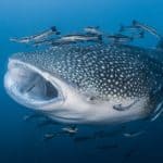
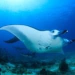
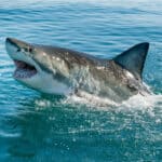
The South Pacific Ocean spans remote subtropical gyres with relatively low nutrient levels and high water clarity, alongside highly productive zones around island chains, seamounts, and eastern boundary upwelling near South America. Overall conservation status is mixed: many pelagic areas remain comparatively intact due to remoteness, but biodiversity hotspots (coral reefs, seamounts, coastal upwelling systems, and migratory corridors) face increasing pressure from ocean warming and marine heatwaves, ocean acidification, industrial fishing (including IUU risk), bycatch of protected species, and localized pollution and habitat degradation near populated islands and coasts. Large, well-managed MPAs exist but are unevenly distributed, and high-seas governance and enforcement capacity remain key constraints.
Moderate-to-high ecological value with rising cumulative pressures; overall ocean health stressed and vulnerable in hotspots.
Ocean warming, more frequent/intense marine heatwaves, shifting currents and productivity, coral bleaching in tropical/subtropical reefs, and poleward range shifts altering food webs; acidification reduces calcification for corals and shell-formers, with heightened risk in cooler southern waters and upwelling-influenced regions.
Pressure on tunas and other highly migratory species, localized depletion of reef and nearshore fisheries around islands, and impacts from industrial fleets on seamount and open-ocean ecosystems; bycatch affects sharks, seabirds, turtles, and marine mammals. IUU fishing remains a major enforcement challenge across vast EEZs and high seas.
Plastic debris and microplastics accumulate in subtropical gyres; lost/abandoned fishing gear causes entanglement and ghost fishing. Coastal pollution includes sewage, nutrient runoff, hydrocarbons from shipping, and port activities, with episodic contamination near urban centers and mining/industrial areas.
Degradation of coral reefs, mangroves, seagrasses, and lagoon habitats from coastal development, dredging, sedimentation, and storm damage; physical damage to benthic habitats from some fishing gears and anchoring in sensitive areas.
Invasive rats, cats, and other predators on nesting islands reduce seabird colonies that subsidize marine food webs; marine invasives spread via ballast water and hull fouling, threatening native reef and coastal communities in ports and lagoons.
Risk of habitat disruption and sediment plumes from seabed mineral exploration (e.g., polymetallic nodules/crusts) and terrestrial mining runoff affecting coastal waters in some island regions; uncertainty remains high but potential impacts are significant.
Shipping lanes, port expansion, coastal armoring, and submarine cable/energy infrastructure can fragment habitats, increase noise, and raise spill risk; cumulative impacts concentrate near hubs and chokepoints.
Tourism, vessel traffic, wildlife viewing, and recreational fishing can disturb breeding seabirds and marine megafauna; underwater noise affects cetacean behavior and communication, especially near shipping routes and ports.
Warming-related disease outbreaks and stress (e.g., coral diseases) can compound bleaching impacts; potential pathogen spread increases with changing species distributions and aquaculture in some locales.
High loads of floating plastics and microplastics in subtropical gyre waters; derelict fishing gear impacts marine megafauna; localized coastal pollution from wastewater, nutrients, hydrocarbons, and port/urban runoff in populated islands and along South American margins.
Industrial and artisanal fisheries pressure tunas and associated species; bycatch of sharks, seabirds (e.g., albatrosses and petrels), turtles, and marine mammals remains a key sustainability issue; enforcement and monitoring are challenged by the region's scale and IUU risk.
Rising sea surface temperatures, more frequent marine heatwaves, coral bleaching, and productivity shifts; ocean acidification threatens calcifiers (corals, pteropods, shellfish) and can interact with upwelling dynamics; distribution shifts are altering predator-prey relationships and fisheries reliability.
Seabird-island invasives (rats/cats) reduce nesting success and nutrient transfer to reefs; marine invasives introduced via shipping (ballast water/hull fouling) pose risks to lagoon and port ecosystems, especially where biosecurity capacity is limited.
A vast coral reef ecosystem stretching along Australia's northeast continental shelf, composed of thousands of individual reefs and islands.
World's largest coral reef system and a global biodiversity hotspot; iconic example of reef ecology and climate-stress impacts (bleaching).
Deep oceanic basin east of the Great Barrier Reef with isolated reef pinnacles and walls dropping into the Coral Sea abyss.
Renowned for clear-water pelagic diving, shark aggregations, and intact outer-reef communities far from major land runoff.
Remote volcanic island group on the Lord Howe Rise with fringing reefs at the southern limit of coral reef development.
UNESCO-listed for endemic species and unusual mixing of temperate and tropical marine communities.
Volcanic island in the southwest Pacific with surrounding reefs, rocky habitats, and seamount-influenced waters.
Noted for high endemism and as part of a chain of islands/seamounts that shape regional currents and connectivity.
A major subduction-zone trench associated with the Tonga-Kermadec arc, plunging to extreme hadal depths.
Among the deepest parts of the South Pacific; key site for studying subduction, deep-ocean ecology, and earthquake/volcanic hazards.
A deep trench east of Tonga marking active subduction of the Pacific Plate beneath the Indo-Australian Plate.
Includes one of Earth's deepest points (Horizon Deep region); important for hadal biology and tectonics.
Large no-take marine reserve around a remote volcanic island chain with seamounts, vents, and pelagic waters.
One of the world's large, highly protected ocean areas; supports seabirds, sharks, and deep-sea habitats with minimal local impacts.
Remote central South Pacific archipelago with atolls and reefs, largely uninhabited and oceanic in character.
One of the largest marine protected areas; globally significant refuge for intact coral reef ecosystems and tuna-associated pelagic food webs.
High volcanic island enclosed by a lagoon and barrier reef, with passes connecting lagoon to open ocean.
Iconic lagoon-reef system illustrating barrier-reef formation and supporting diverse reef and lagoon habitats.
Barrier reef and lagoon complex around Moorea with coral gardens, channels, and outer-reef slopes.
Major center for long-term coral-reef research (including recovery and disturbance studies) and popular for high-visibility diving.
A vast chain of low coral atolls, many with deep lagoons and narrow passes with strong tidal currents.
Famous for pass diving with large fish biomass (sharks, rays); classic atoll geomorphology across a huge region.
Large atoll with a UNESCO Biosphere Reserve, featuring two major passes linking lagoon to ocean.
Renowned for seasonal shark aggregations and exceptionally healthy reef fish communities due to protection and remoteness.
One of the world's largest atolls, with a vast lagoon and famed passes like Tiputa.
Internationally known for dolphins, sharks, and dynamic current-driven diving; flagship example of atoll scale and lagoon ecology.
Remote volcanic island in the southeast Pacific with steep submarine slopes and limited fringing reef development.
Among the most isolated inhabited islands; notable for high levels of marine endemism shaped by extreme isolation and oligotrophic waters.
Tiny, uninhabited volcanic islet east of Rapa Nui, surrounded by deep ocean and rocky reef habitats.
Ecologically linked to Rapa Nui via seamount chains; important for endemic species and as part of a large protected seascape.
Chain of seamounts and guyots extending from the Nazca Plate toward the Chilean margin.
Seamounts concentrate biodiversity and pelagic predators; a key feature structuring connectivity and productivity in an otherwise oligotrophic region.
Large remote reserve around the Pitcairn group, including reefs, deep slopes, and offshore seamount habitats.
One of the world's largest fully protected reserves; notable for high water clarity, intact ecosystems, and protection of deep-sea habitats.
Small island group with underwater cliffs, caves, arches, and kelp-reef habitats in temperate waters.
Often cited among top global dive sites for dramatic structure and biodiversity; showcases temperate South Pacific reef communities.
Large WWII troopship wreck lying close to shore, accessible from shallow depths down to deeper sections.
One of the world's most famous wreck dives due to size, accessibility, and extensive intact structure with marine life colonization.
A deep glacial fjord (often grouped with bays) with steep walls, dark tannin-stained surface water, and rich benthic life.
Unique 'deep reef' effect where low-light conditions allow normally deep-water species to occur at shallow diveable depths.
Shallow strait linking the Coral Sea and Arafura Sea, dotted with reefs, islands, and strong tidal flows.
Major biogeographic boundary and migration corridor; complex currents and shallow topography support productive, diverse habitats.
The South Pacific has been shaped by long-distance ocean voyaging, colonial-era exploration, and modern global trade. Austronesian and Polynesian navigators settled and connected island chains (for example, Tonga, Samoa, the Society Islands, the Marquesas, Hawaii just north of the equator, and New Zealand in the southwest Pacific) using sophisticated wayfinding based on stars, swells, and birds, creating extensive exchange networks of tools, stone, crops, and cultural practices. European exploration accelerated from the 16th to 18th centuries (Magellan's crossing; later voyages by Cook, Bougainville, and others), mapping routes, reefs, and island groups and enabling whaling, missionary activity, and colonial administration. In the 19th to 20th centuries, the region became central to whaling and copra/phosphate trade (notably on islands such as Nauru and Banaba/Ocean Island, often classed within the broader South Pacific sphere), then to World War II campaigns across the wider Pacific (strategic sea lanes, island airfields, and naval bases), and later to nuclear testing and its legacies in parts of French Polynesia (Mururoa/Fangataufa).
Trans-Pacific east-west container and bulk routes traverse the South Pacific between Australasia (Australia/New Zealand) and the west coasts of the Americas, with many services passing south of the equator and using waypoints near island groups for routing flexibility and weather avoidance. North-south lanes connect Pacific island states and territories with hub ports in Australasia (Auckland, Tauranga, Brisbane, Sydney, Melbourne) and, on the American side, with Chile/Peru and Panama-connected networks (often via west-coast hubs such as Callao, Valparaiso/San Antonio, and further north to ports linked to the Panama Canal corridor). Regional shipping is dominated by feeder services and inter-island freight supplying remote archipelagos; major South Pacific island ports used as regional hubs include Suva and Lautoka (Fiji), Port Moresby and Lae (Papua New Guinea, often tied to southwest Pacific routes), Noumea (New Caledonia), Papeete (Tahiti, French Polynesia), Apia (Samoa), Nuku'alofa (Tonga), and Port Vila (Vanuatu). Bulk carriers also support mineral and agricultural exports (notably from New Zealand, New Caledonia's nickel sector, and PNG where applicable). Key operational constraints include cyclone seasons, long distances between safe harbors, reef navigation, limited repair infrastructure on smaller islands, and growing compliance needs for biosecurity and emissions regulations.
Commercial fisheries in the South Pacific are dominated by highly migratory pelagic species, especially industrial purse-seine and longline fleets targeting tuna across large EEZs and the high seas. Regional management is strongly influenced by multilateral governance (e.g., the Western and Central Pacific Fisheries Commission in the west/central areas and the Inter-American Tropical Tuna Commission influences nearer the eastern Pacific), as well as subregional arrangements such as the Parties to the Nauru Agreement (PNA) where applicable in the broader Pacific tuna belt. Key commercial activities include purse-seine tuna fishing around productive frontal zones and island-associated aggregation, longlining for sashimi-grade tuna, and bycatch-sensitive operations that interact with sharks, seabirds (in cooler southern waters), and turtles. Some coastal commercial fisheries and aquaculture exist at island scales (e.g., pearls in French Polynesia; sea cucumber fisheries with periodic closures; reef fish for domestic markets), but the economic backbone is generally tuna access/licensing and export supply chains.
Artisanal and subsistence fishing is widespread across Pacific island communities and remains central to food security and cultural identity. It includes reef gleaning, spearfishing, handline fishing, canoe/boat-based nearshore trolling, and lagoon fisheries. Many islands use customary marine tenure and locally managed marine areas (LMMAs), traditional temporary closures and no-take areas, and community enforcement to sustain reefs, lagoons, and spawning aggregations. Artisanal fisheries commonly target reef fish (groupers, snappers), nearshore pelagics (trevallies, mackerels), invertebrates (octopus, shellfish), and culturally important species (for example, reef-associated species used in ceremonies). Climate stress, coral bleaching, cyclone damage, and market pressures (including the dried sea cucumber trade) are major challenges.
Diving conditions range from warm, clear oligotrophic gyre waters around many atolls and barrier reefs (often very high visibility) to more nutrient-influenced, current-swept passes and upwelling zones with bigger pelagic action but sometimes reduced visibility. Seasonal weather is a major factor: cyclone risk typically peaks during the austral summer in many island groups; trade winds and swell patterns shape sea state and access to outer reefs. Many premier dives are in channels/passes where tidal flow concentrates sharks and schooling fish; these sites can involve strong currents and require experience. Water temperatures generally decrease toward higher southern latitudes, with temperate diving around New Zealand and cooler waters toward the Southern Ocean boundary.
Tourism in the South Pacific is strongly island-centered and built around lagoons, coral reefs, Polynesian and Melanesian cultures, and remote nature experiences. Major destinations include French Polynesia (Bora Bora, Moorea, Rangiroa, Fakarava), Fiji (Mamanuca and Yasawa islands, Coral Coast), the Cook Islands (Rarotonga, Aitutaki), Samoa and American Samoa, Tonga (notably whale-focused tourism), Vanuatu (beaches, volcanoes), New Caledonia (lagoon/reef tourism), and New Zealand's South Pacific-facing coasts and subantarctic gateways (cruise and expedition tourism). Common activities include lagoon cruises, snorkeling and scuba, surfing (reef breaks in Fiji, Tahiti/Teahupoo), sea kayaking, sportfishing, sailing/yachting circuits, cultural festivals and village stays, and wildlife watching (humpback whales, dolphins, seabirds, turtles). Cruise itineraries span multiple island states, creating seasonal peaks and infrastructure demands (waste, freshwater, reef protection, port capacity).
Oil and gas activity in the South Pacific is uneven and often limited by deep water, high exploration cost, regulatory constraints, and strong environmental and cultural opposition in many jurisdictions. Some areas on the SW Pacific margins have seen exploration interest (notably around parts of New Zealand's offshore basins historically) and intermittent licensing, while many Pacific island states have focused more on fisheries, tourism, seabed minerals discussions, and renewables rather than large-scale petroleum development. Where extraction occurs or has been proposed, it tends to be localized to continental margin basins rather than the central oligotrophic gyre. Overall, compared with other ocean basins, the South Pacific has relatively modest offshore oil and gas production footprint, with policy trends in several places moving toward reduced offshore exploration and stronger marine protections.
Strategically, the South Pacific is important for sea lines of communication linking the Americas with Australasia and for control of air/sea transit corridors across a vast oceanic space. Military presence is characterized by a mix of national forces (notably Australia and New Zealand), U.S. strategic influence across the broader Pacific, and French military assets associated with French Polynesia and New Caledonia. The region hosts maritime surveillance, humanitarian assistance/disaster relief (HADR) operations, and periodic multinational exercises aimed at maritime security, illegal fishing deterrence, and disaster response. Key strategic considerations include the protection of undersea cable routes, monitoring of large EEZs with limited patrol capacity in many island nations, access agreements and logistics hubs, and geopolitical competition for partnerships and port/airfield access across island states.
The South Pacific is bordered and shaped by diverse Indigenous and coastal cultures across Polynesia and Melanesia, including Maori communities in New Zealand, and coastal cultures along the Pacific coasts of southern South America. Polynesian societies (for example, in Tonga, Samoa, the Cook Islands, French Polynesia, Tokelau, and other island groups) maintain long ocean-voyaging traditions, chiefly systems, and marine stewardship practices. Melanesian societies (for example, in Fiji, Vanuatu, the Solomon Islands, New Caledonia, and Papua New Guinea in the broader southwest Pacific) commonly emphasize customary marine tenure, locally defined fishing rights, and strong links between language, clan identity, and coastal ecosystems. Coastal South American communities on the Pacific margins of Chile and Peru connect to the South Pacific through fisheries, ports, and ocean currents, while remote islands such as Easter Island represent distinct Polynesian heritage on the eastern edge of the basin. Across the region, cultural relationships to the ocean are expressed through navigation traditions, customary closures, reef and lagoon management, canoe building, marine-oriented art and ceremony, and contemporary advocacy for ocean protection and climate resilience.
269 species documented in our encyclopedia
Thank you for reading! Have some feedback for us?
We appreciate your help in improving our content.
Our editorial team will review your suggestions and make any necessary updates.
There was an error submitting your feedback. Please try again.