Jaguar
Power of the Americas' apex cat
Power of the Americas' apex cat
One species, many ecotypes.
Electric hunter of Australian rivers
From geckos to dragons-lizard power
Born to dive, dressed to endure
Build wetlands, shape worlds.
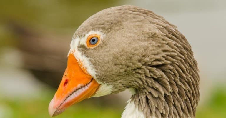
Webbed feet, world travelers.
Sting-powered drifters of the sea
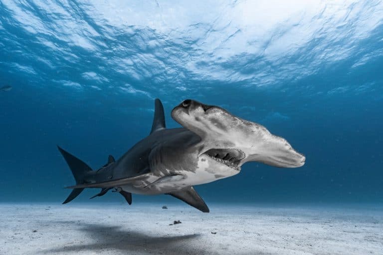
Built like a hammer, tuned like a radar
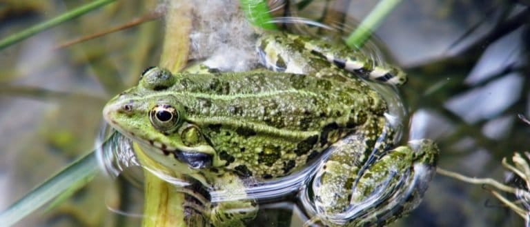
Tailless jumpers, masters of change
An estuary is a semi-enclosed coastal waterbody where freshwater from rivers and streams mixes with seawater, producing brackish water and strong, shifting salinity gradients. Estuaries are shaped by tides and river flow and typically include intertidal areas such as mudflats, tidal creeks, and fringing wetlands.
Estuaries form where rivers meet the sea. Mixing of salt and fresh water makes layers and builds tidal channels, shoals, sand and mud flats, and sheltered bays. They are very productive, supporting plankton, seagrasses, worms, bivalves, crustaceans, fish nurseries, and feeding birds. Estuaries protect coasts and filter pollution but are harmed by land use, dredging, and sea-level rise.
Variable to low underwater due to turbidity and suspended sediments; high surface irradiance in exposed mudflats; strong seasonal/diurnal variation. Submerged vegetation (e.g., seagrass) occurs where water clarity is sufficient.
Brackish, semi-enclosed tidal waters with strong horizontal/vertical salinity gradients; includes tidal channels, mudflats, shoals, and often fringing salt marshes/mangroves. Currents are dominated by tides with superimposed river flow; turbidity often moderate to high; stratification common during high river discharge.
High - estuaries combine marine, freshwater, and terrestrial influences, creating many habitat niches (mudflats, marsh edges, tidal creeks, seagrass beds) and supporting both resident species and transient life stages (e.g., juvenile fish, migratory birds). Strong gradients and seasonal variability promote diverse, dynamic communities, though diversity can be reduced locally by pollution, habitat loss, or severe hypoxia.
Estuaries are among the most productive ecosystems on Earth but are globally degraded and highly fragmented, especially near densely populated coasts. Many have altered freshwater inflows, reduced water quality, simplified shorelines, and loss of adjacent wetlands (salt marshes/mangroves) that underpin nursery habitat and natural flood protection.
Moderate to high where space exists for tidal wetlands to migrate and where watershed inputs can be improved. Water-quality improvements, re-opening tidal exchange, and oyster/seagrass/marsh restoration can yield substantial ecological gains within years to decades, but full recovery is constrained by ongoing development, altered hydrology, and legacy contamination in sediments.
High. Estuaries sit at the land-sea interface and are sensitive to sea-level rise (coastal squeeze), storm surge, changing freshwater inflows and salinity regimes, warming and hypoxia, and ocean acidification. Adaptive capacity depends strongly on available migration corridors for wetlands, intact sediment supply, and flexible water-management policies.
Estuaries can flip between "freshwater-like" and "seawater-like" surprisingly fast-one strong tide or storm can shift salinity in hours, not seasons.
Brackish water isn't "half fresh, half salty" everywhere-estuaries often form layered water (saltier, denser water underneath; fresher water on top), creating a moving salt "wedge."
Mudflats aren't barren-they're like living carpets. A single square meter can host thousands of small invertebrates that fuel huge flocks of migrating birds.
Estuaries are natural chemical reactors: microbes in muddy sediments can transform nutrients and pollutants, sometimes cleaning water-sometimes creating low-oxygen "dead zones" if overloaded.
Many fish you think of as "ocean fish" start life in estuaries. For lots of species, the estuary is the nursery and the sea is the adult neighborhood.
Some estuaries are naturally murky, and that's a feature, not a flaw: suspended sediment can reduce predator visibility and give young fish a safer place to grow.
Plants in salt marshes and mangroves routinely handle salt stress that would kill most land plants-some "push out" salt through leaves or store it in older tissues they later shed.
The boundary where river meets sea can concentrate food like a conveyor belt-tiny plankton, detritus, and nutrients get trapped and recycled instead of washing straight out to sea.
Think of an estuary as a "mixing bowl" where river water and seawater are constantly stirred by tides-never fully blended, always changing.
An estuary is like a coastal "kidney": it filters, transforms, and routes water and nutrients between land and ocean (though it can be overwhelmed by too much pollution).
Salt marshes and mangroves function like "green seawalls"-their roots and stems slow waves and trap sediment, helping protect shorelines from erosion.
The salinity gradient in an estuary is like walking from a freshwater lake to the ocean in a few miles-organisms often specialize in a particular "salt zone."
Mudflats are the estuary's "pantry floor": not glamorous, but packed with hidden calories (worms, clams, crustaceans) that feed fish and birds.
Estuaries are like airports for wildlife-migration stopovers where travelers refuel, rest, and then continue along coastal flyways.
Estuaries are among the most productive ecosystems on Earth-often rivaling (and sometimes exceeding) tropical rainforests and coral reefs in the amount of plant matter they can generate per area.
Some of the world's largest estuaries are "sea-sized" mixing zones-like the River Plate (Argentina/Uruguay), which is so wide it can look like open ocean from shore.
The Chesapeake Bay (USA) is often cited as the largest estuary in the United States-big enough to have its own weather patterns and distinct "bay regions."
The Sundarbans (India/Bangladesh) forms the world's largest mangrove forest, sprawling across a massive estuarine delta where rivers meet the Bay of Bengal.
The Bay of Fundy system (Canada) connects to estuaries influenced by the world's highest tidal range-tides can dramatically reshape mudflats and tidal channels on a daily schedule.
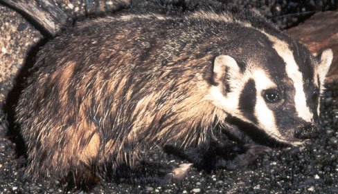
Built to dig. Born to endure.
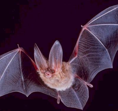
Night pilots of the mammal world
Build wetlands, shape worlds.
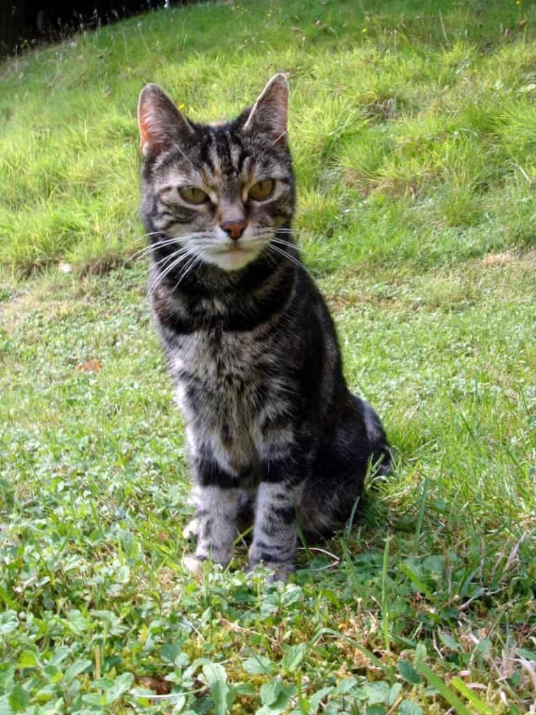
Small hunter, big household legend
Webbed feet, world travelers.
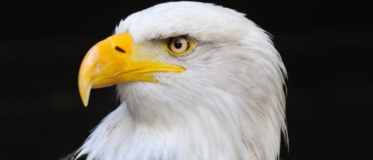
Built to soar, born to strike
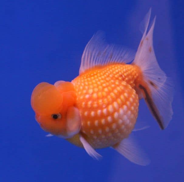
Bony rays, endless ways.
Tailless jumpers, masters of change
Webbed feet, sky roads, wetland lives
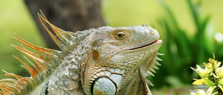
Sun-powered lizards of the Americas
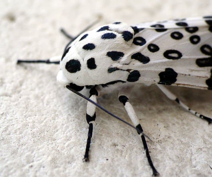
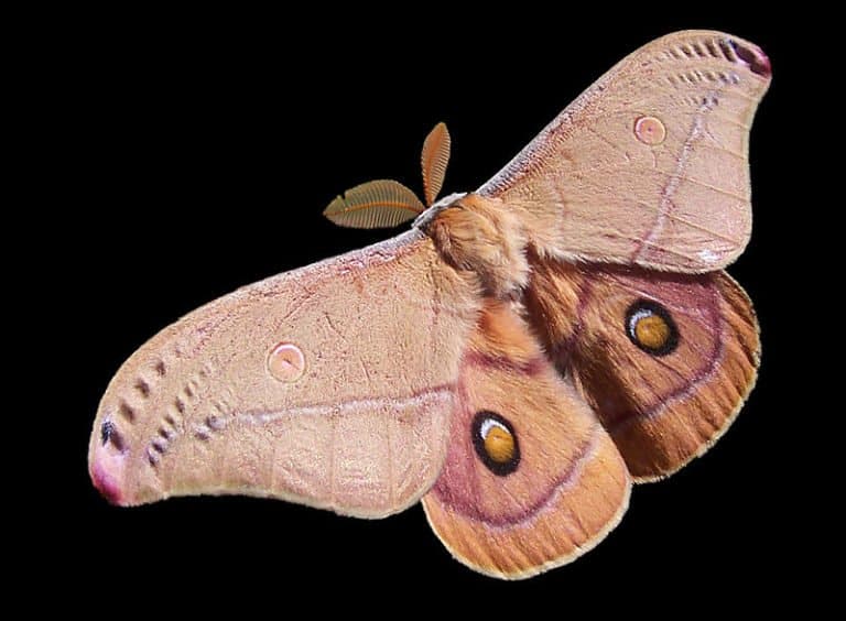
Six legs, endless lives.
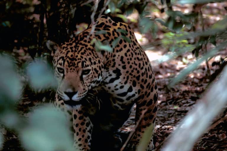
Power of the Americas' apex cat
Sting-powered drifters of the sea
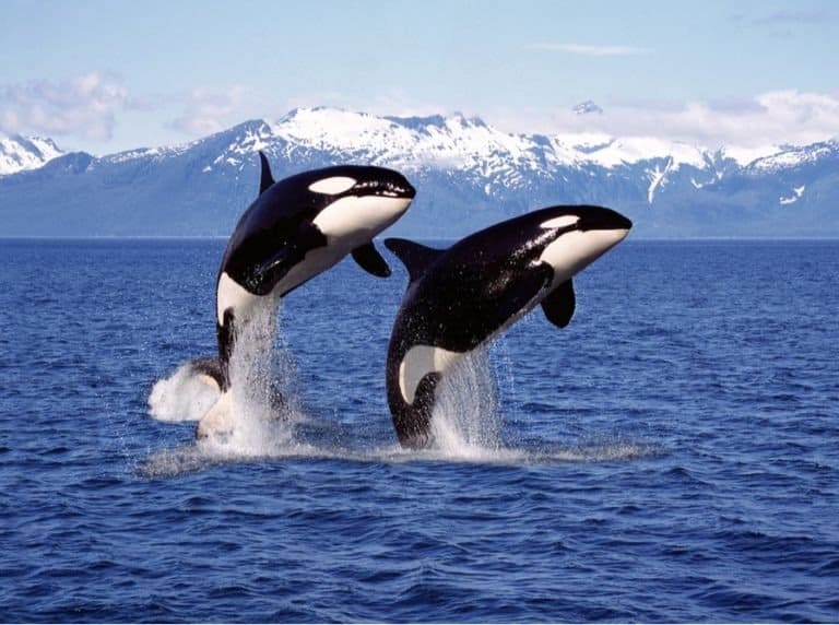
One species, many ecotypes.
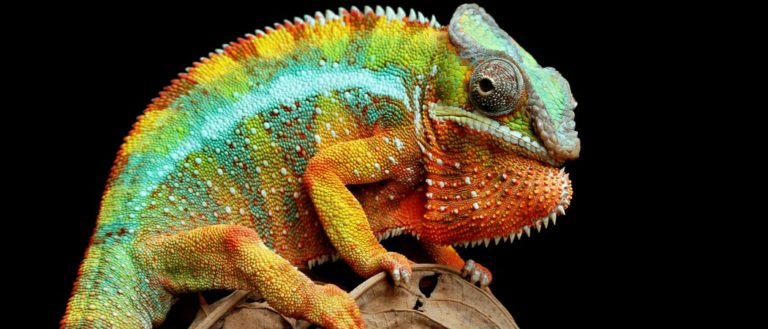
From geckos to dragons-lizard power
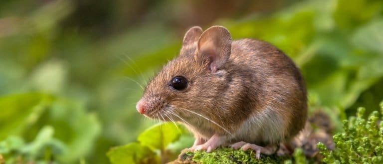
Small gnawers, huge impact.
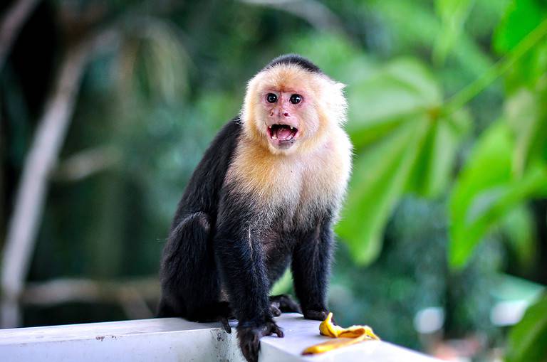
Hands, minds, and social lives
More than night flyers
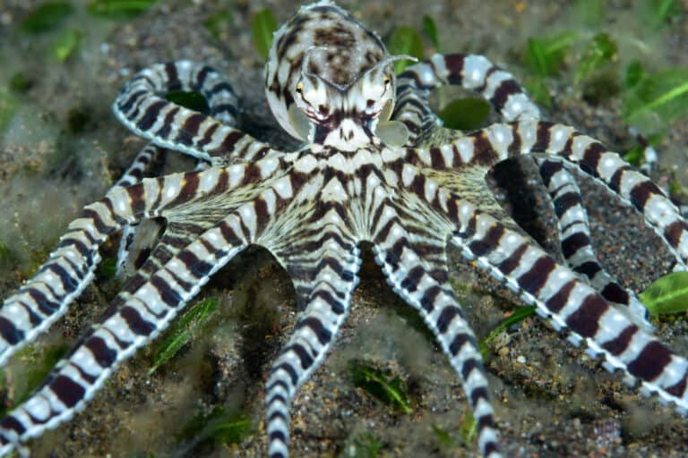
Eight arms, endless ingenuity
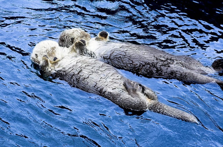
Built for water, born to hunt
Born to dive, dressed to endure
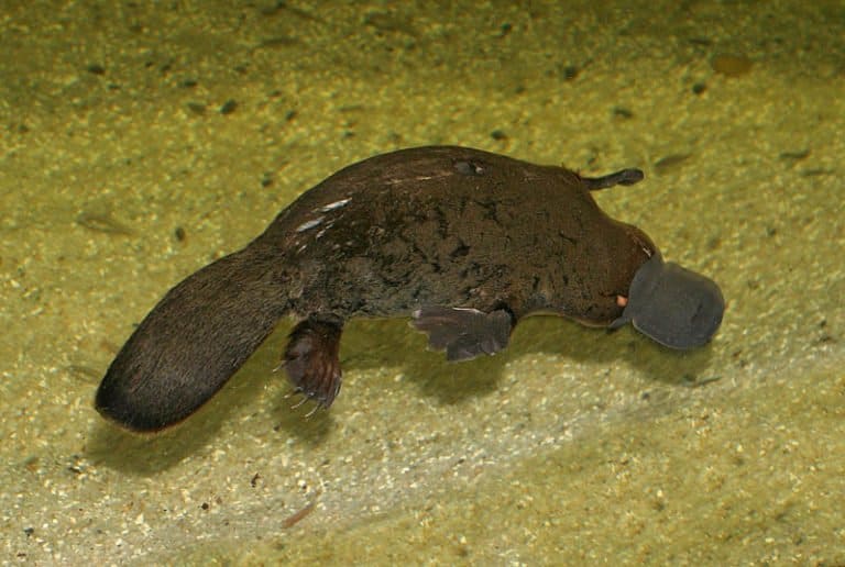
Electric hunter of Australian rivers
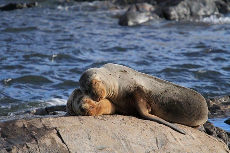
Ear flaps, flippers, and fierce colonies

Nature's master recyclers (and builders)
Thank you for reading! Have some feedback for us?
We appreciate your help in improving our content.
Our editorial team will review your suggestions and make any necessary updates.
There was an error submitting your feedback. Please try again.