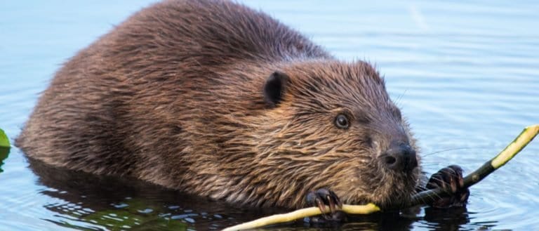
Beaver
Build wetlands, shape worlds.

Build wetlands, shape worlds.
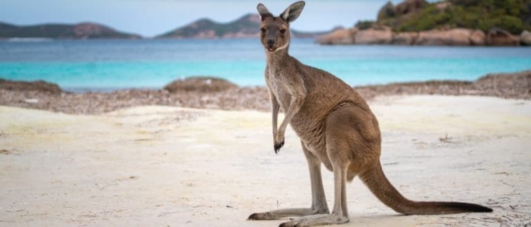
Big hops, big pouches, big variety

Power of the Americas' apex cat

Pouches, burrows, and big impacts

Sting-powered drifters of the sea
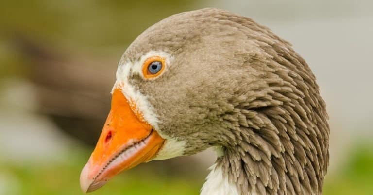
Webbed feet, sky roads, wetland lives
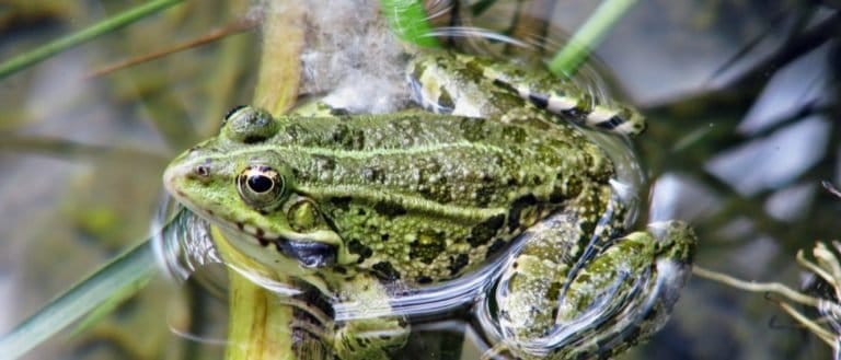
Tailless jumpers, masters of change

Bony rays, endless ways.
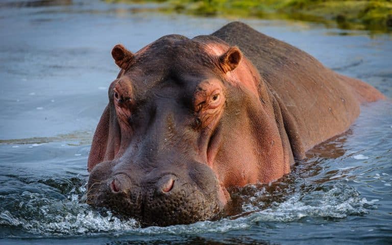
Big river grazer, bigger attitude
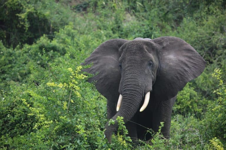
The rainforest's master gardener
Riverine terrain refers to landscapes formed and continually modified by rivers and their associated floodplains. It includes the river channel, banks, riparian corridor, and adjacent alluvial surfaces shaped by flowing water, sediment transport, and flooding.
Riverine terrain occurs along active river channels and the floodplains that flank them, where flowing water erodes, transports, and deposits sediment. Over time, this produces a mosaic of landforms such as channel banks, bars, levees, point bars, cutbanks, backswamps, and abandoned channels (oxbow lakes), with soils that are often young, layered, and alluvial. Because river flow varies seasonally and during storms, the terrain is dynamic, with channels migrating laterally, bars shifting, and floodplain surfaces being periodically reworked.
Ecologically, riverine areas support riparian corridors and wetlands that depend on high soil moisture, shallow groundwater, and intermittent inundation. Vegetation commonly shows strong zonation-from frequently flooded bank-edge communities to floodplain forests and marshes on lower-lying surfaces-while providing habitat connectivity and high biodiversity. Hydrologically, periodic flooding is a defining process, influencing nutrient exchange, sediment deposition, groundwater recharge, and the creation of diverse microhabitats across the floodplain.
Highly variable absolute elevation depending on regional setting; locally defined by low relief relative to surrounding terrain. Floodplain surfaces commonly sit ~0-10 m above normal low-flow water level; natural levees typically ~1-3 m above adjacent backswamps; terraces (if present) commonly ~5-50+ m above the modern channel depending on age and incision rate.
From near sea level in coastal river deltas/estuaries to >3,000 m in high-elevation mountain valleys. Local vertical relief can be minimal (<1 m in very flat backswamps) or high where rivers are entrenched, with banks/valley walls rising tens to hundreds of meters in canyons.
Generally low longitudinal gradients on floodplains (often ~0.01-1%), with gently undulating microtopography created by levees, swales, and abandoned channels. Banks range from gentle, vegetated slopes on depositional reaches to steep or undercut faces on erosional outer bends; local slopes can change rapidly after floods or bank failures.
Forms along active river channels and adjacent floodplains through fluvial erosion, transport, and deposition. Channel migration (meandering or braiding) scours banks and beds while depositing alluvium on point bars, mid-channel bars, and floodplains during overbank flows. Periodic flooding builds natural levees and crevasse splays; avulsions can relocate channels. Long-term incision and aggradation respond to base-level change, tectonic uplift/subsidence, climate-driven discharge variability, and sediment supply.
Moderately to highly dynamic. Channels migrate laterally, bars shift, and banks erode or accrete seasonally to episodically, especially during floods. Floodplain surfaces are relatively stable between floods but can be reworked by overbank deposition, scour, avulsion, and ice/jam events where relevant. Substrate moisture and sediment sorting can change rapidly, influencing vegetation and habitat structure.
Variable. Riparian corridors can offer easy movement and cover on firm levees and terraces, but travel can be hindered by dense vegetation, saturated soils, mud, and tangled woody debris. Crossing the active channel may be difficult or dangerous during high flow; braided reaches may offer multiple shallow crossings, while entrenched or swift rivers form strong barriers. Flood events can temporarily reduce traversability and increase risk (soft ground, bank collapse, debris).
Streamlined body and dense, water-repellent fur with powerful webbed feet for efficient swimming and hunting in currents
Large, paddle-shaped tail and strong incisors for dam-building, creating stable water habitats and refuge from fluctuating flows
Very dense body (including heavy bones) that reduces buoyancy, combined with the ability to close the nostrils and ears to keep water out while submerged and moving along the river bottom
Eyes, ears, and nostrils positioned high on the head for stealthy breathing and surveillance while mostly submerged
Powerful musculature and osmoregulation that supports long-distance migration and upstream movement through fast-flowing channels
Sensitive barbels and chemoreception to locate food in turbid, sediment-rich river water
Long legs and splayed toes for stable wading on soft substrates; spear-like bill for rapid strikes in shallow water
Aerial plunge-diving with specialized vision for refraction-corrected targeting of fish below the water surface
Aquatic larval stage with gills and jet-propulsion (rectal gill expulsion) for maneuvering in river margins
Webbed feet and streamlined shell profile aiding steady swimming and stability in slow to moderate currents
Flooding can increase fertility: The very disturbance that seems destructive is often what keeps floodplains productive by renewing nutrients and adding fresh, mineral-rich silt.
More water doesn't always mean clearer water: High flows can turn rivers and floodplains muddier, not clearer, because faster water scours banks and mobilizes stored sediment.
Bigger floods can create more land: Large floods can build new natural levees, sandbars, and point bars-temporarily expanding emergent landforms even as they erode others.
Riverbanks can behave like slow conveyor belts: Meanders erode the outer bank and deposit on the inner bank, causing the whole channel to migrate sideways over time rather than simply cutting "downstream."
Some riparian zones can be wetter than nearby wetlands: Because they tap shallow groundwater and frequent overbank flow, riparian corridors can stay moist even when surrounding uplands are dry.
Sediment can raise a river above its floodplain: In heavily sedimented systems, deposition can build up the channel bed and levees so the river flows perched higher than adjacent land until it breaks out.
Floodplains can store and release carbon: Riverine soils can bury organic material during deposition (storing carbon), then later expose and oxidize it when channels migrate-acting as both sink and source over time.
The most important "architect" may be the rare event: A single extreme flood can do more to reshape a riverine landscape than many years of normal flow combined.
A river can be both erosive and depositional at once: In the same reach, the outside of a bend may be actively eroding while the inside is simultaneously building new land via deposition.
Riverine ecosystems can depend on disturbance: Many floodplain plants and animals are adapted to periodic scouring and burial; without floods, some riverine habitats shrink or convert to drier communities.
World's largest river system by volume and drainage basin: The Amazon River carries the greatest volume of water of any river and drains the largest river basin on Earth, creating vast floodplain and seasonally flooded wetland habitats along its course.
Highest sediment loads (by major rivers): Rivers like the Yellow River have historically carried some of the greatest sediment concentrations on the planet-enough to rapidly build and reshape floodplains and deltas.
Fastest natural floodplain construction: During major floods, rivers can lay down centimeters of fresh silt in a single event-doing in days what soils elsewhere take decades to accumulate.
Most dramatically shifting large-river channels: Highly braided rivers (e.g., glacial-fed systems) can rearrange multiple channels across their floodplains within a single season, relocating banks and bars at landscape scale.
Longest connected riparian corridor potential: A single river system can create a continuous ribbon of wetter habitat for thousands of kilometers-among the longest natural "green corridors" on land.
Highest habitat edge density: Riverine terrain packs an exceptional amount of ecotone (water-land boundary) per unit area, producing some of the most edge-rich habitats in nature.
The rainforest's master gardener

Built for blizzards, born for tundra

Moon-marked climber of Asian forests

Built to dig. Born to endure.

Night pilots of the mammal world
Build wetlands, shape worlds.

Small hunter, big household legend
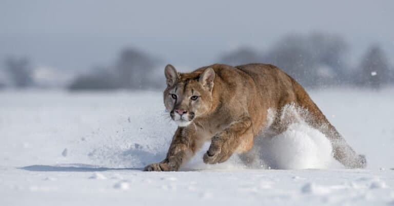
One cat. Two continents.
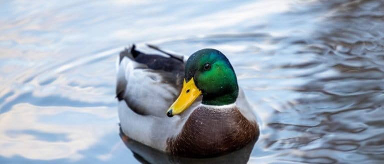
Webbed feet, world travelers.

Built to soar, born to strike

Spines, eggs, and ant-eating mastery
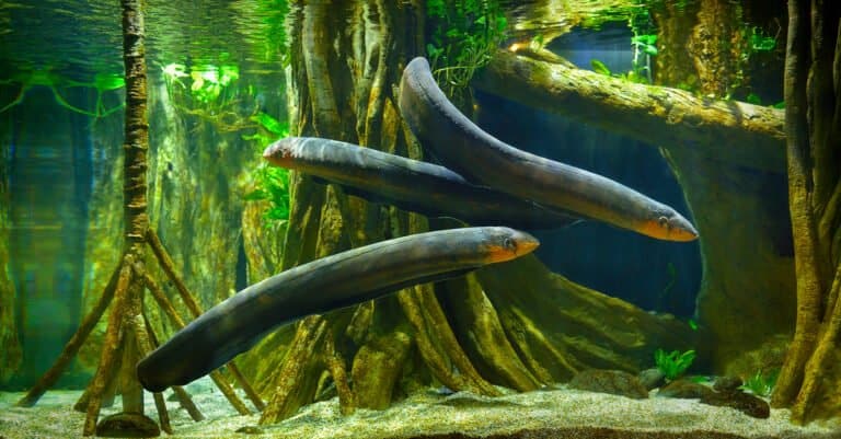
Lightning hunter of the Amazon
Bony rays, endless ways.

From dunes to tundra-fox smart.
Tailless jumpers, masters of change
Webbed feet, sky roads, wetland lives

Gentle giants of the African forests
Pouches, burrows, and big impacts
Big river grazer, bigger attitude

One hoofbeat, a thousand histories

Sun-powered lizards of the Americas

Three stripes. Big city attitude.

Six legs, endless lives.
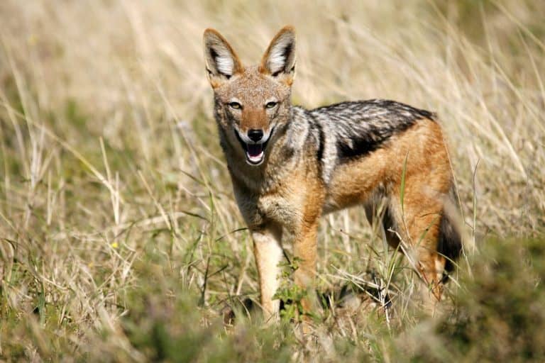
Small canids, big survival skills
Thank you for reading! Have some feedback for us?
We appreciate your help in improving our content.
Our editorial team will review your suggestions and make any necessary updates.
There was an error submitting your feedback. Please try again.