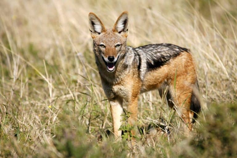
Jackal
Small canids, big survival skills

Small canids, big survival skills

Six legs, endless lives.

Pouches, burrows, and big impacts

Spines, eggs, and ant-eating mastery
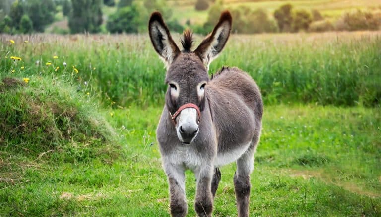
Sure-footed partner of people
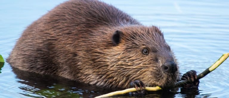
Build wetlands, shape worlds.

Night pilots of the mammal world
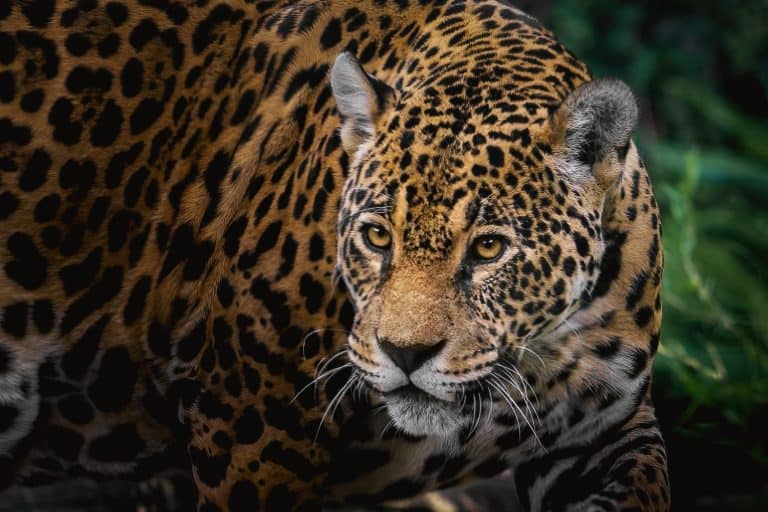
Power of the Americas' apex cat
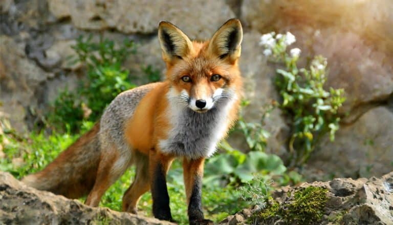
From dunes to tundra-fox smart.

Humps of fat, miles of grit
A valley is an elongated, low-lying landform between higher areas such as hills or mountains. It typically forms through long-term erosion by rivers or glaciers, creating a corridor that often channels water and sediment.
Valleys develop where erosion or tectonic processes create a topographic low bordered by higher ground. The most common origins are fluvial incision, where rivers cut downward and widen their channels over time, and glaciation, where moving ice scours and deepens the landscape. These different formation pathways produce characteristic shapes-river valleys are often V-shaped, while glacial valleys commonly have broad, U-shaped cross-sections.
Because valleys concentrate drainage, they tend to accumulate sediments on valley floors and form features such as floodplains, terraces, alluvial fans, and meandering channels. Water availability and sheltered topography can create distinct microclimates, influencing soil moisture, frost patterns, and vegetation zones along valley bottoms and side slopes.
Valleys are important ecological and human landscapes: they can act as wildlife corridors, support diverse habitats along riparian zones, and provide fertile soils for agriculture due to periodic sediment deposition. At the same time, their role in channeling water makes them susceptible to hazards such as flooding, debris flows, landslides from adjacent slopes, and, in cold regions, cold-air pooling that affects settlement and land use.
Highly variable with regional relief; commonly valley floors lie ~50-1,000 m below adjacent ridgelines in mountainous terrain, or only a few meters to tens of meters below surrounding plains in low-relief regions. Absolute elevations span from near sea level in coastal/lowland valleys to >3,000 m in high mountain settings.
Lowest: below sea level in enclosed/tectonic basins (e.g., arid rift valleys). Highest: high-altitude alpine valleys with floors >3,500-4,500 m where surrounding peaks may exceed 6,000-8,000 m.
Valley floors are typically low-gradient to gently sloping (often <1-5°) along the main axis, with localized steeper gradients in confined bedrock gorges. Sidewalls range from moderate to very steep (commonly 15-35°, locally near-vertical cliffs in canyon/gorge sections). Longitudinal slope varies with base level, lithology, and glacial vs fluvial origin; glacial valleys often have overdeepened basins and step-like profiles.
Forms as low-lying corridors between higher uplands through long-term erosion and incision by rivers/streams (fluvial downcutting, lateral erosion, and sediment transport) and/or glacial carving (U-shaped valleys from ice scour and plucking). Tectonic processes can initiate valleys via faulting, rifting, and subsidence, later modified by water and ice. Mass wasting from valley walls supplies colluvium; periodic flooding and channel migration build alluvial fills and terraces.
Moderately dynamic. Valley floors can be stable on terraces but are frequently reworked by floods, channel migration, sediment aggradation/incision, and seasonal waterlogging. Valley walls are prone to episodic mass wasting (rockfall, landslides, debris flows), especially after intense rainfall, rapid snowmelt, earthquakes, or undercutting by rivers. Glaciated valleys remain dynamic where active ice persists (moraine movement, outwash reworking).
Generally high along valley floors due to gentler slopes, continuous corridors, and access to water/forage; often used as wildlife movement routes. Traversability decreases in active floodplains (soft mud, dense riparian thickets, frequent channel crossings), wetlands, and braided rivers. Side slopes and gorge sections can be difficult to impassable for many species due to steep gradients, cliffs, loose talus, and landslide/avalanche hazards; species adapted to steep terrain may use wall routes and talus.
Rubbery, concave hooves with sharp outer edges that grip tiny rock ledges for safe movement on valley walls and cliffs
Specialized hoof pads and excellent balance for traversing steep, broken slopes and escaping into rocky sidewalls above the valley floor
Streamlined body and powerful tail/feet for swimming and hunting in valley rivers, with waterproof fur for cold, fast-flowing water
Engineering dams and lodges to stabilize water levels and create protective wetlands on valley floors and floodplains
Long legs and splayed hooves that support wading through valley marshes and crossing braided channels efficiently
Seasonal valley-river foraging (e.g., salmon runs) supported by strong swimming and powerful forelimbs for digging in alluvial soils
Use of valley corridors for migration with endurance locomotion and flexible diet to exploit riparian meadows and forest edges
Route-finding and efficient trotting along valley bottoms and game trails, using terrain funnels to hunt in riparian mosaics
Cliff nesting on valley walls with high-speed dives that exploit open airspace above valley corridors to catch prey
Dense plumage and strong legs/feet enabling underwater walking and foraging in cold, fast valley streams
Valleys aren't always warmer than surrounding highlands-cold air can drain downslope at night and pool on the valley floor, creating "frost pockets" colder than higher slopes.
A valley can be carved by ice without looking icy: U-shaped glacial valleys persist long after glaciers vanish, leaving broad flat floors and steep sides that don't match river erosion patterns.
Rivers don't just cut down; they also build up valley floors-many valleys are filled with thick layers of river-laid sediment (alluvium), sometimes burying older landscapes.
Some valleys can be "wind tunnels": the shape can funnel air and intensify winds (and evaporation), making the valley floor drier than you'd expect near a river.
A valley can hide extreme microclimates over short distances-sun-facing slopes may be warm and dry while shaded slopes stay cool and moist, creating different ecosystems a few hundred meters apart.
Not all valleys have rivers today-"dry valleys" can form where water once flowed (or where glaciers carved) but the present climate is too dry or cold for permanent streams.
Valleys can amplify hazards as well as shelter: the same terrain that protects from weather can also focus floodwaters, debris flows, and rockfall into narrow corridors.
In some regions, valley soils can be unusually fertile not because the bedrock is special, but because sediments and nutrients repeatedly wash down from surrounding slopes and concentrate on the floor.
The Grand Canyon is one of the world's most famous river-carved valleys-about 446 km (277 miles) long and up to ~1.6 km (1 mile) deep.
The Yarlung Tsangpo (Brahmaputra) Grand Canyon in Tibet is often cited as the deepest canyon/valley on Earth, plunging over 5,000 m in places.
Kali Gandaki Gorge (Nepal), sometimes described as among the world's deepest valleys, drops several kilometers between Annapurna and Dhaulagiri-two 8,000 m peaks.
The Great Rift Valley system is one of the largest continuous valley/rift features on Earth, stretching roughly 6,000 km from the Levant through East Africa.
Antarctica's Dry Valleys are among the driest places on Earth-so arid and cold that parts have seen little to no liquid water for long periods, making them Mars-analog landscapes.
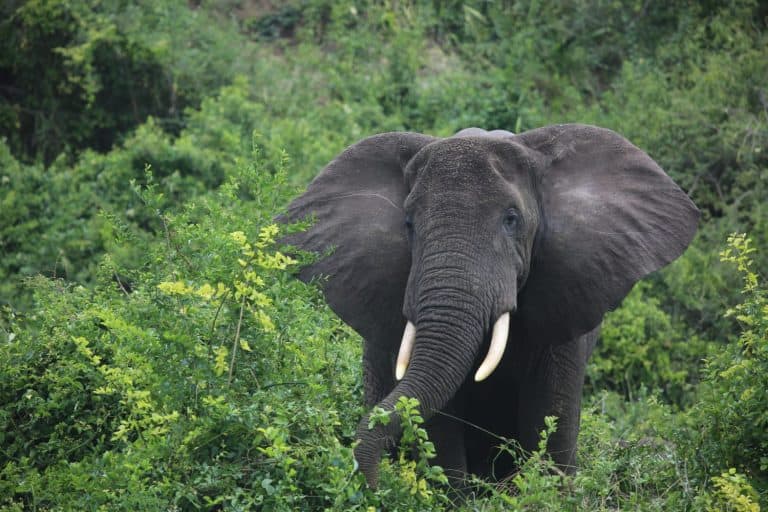
The rainforest's master gardener

Moon-marked climber of Asian forests
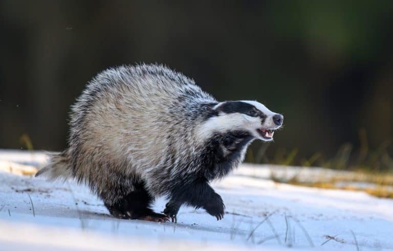
Built to dig. Born to endure.
Night pilots of the mammal world
Build wetlands, shape worlds.
Humps of fat, miles of grit

Small hunter, big household legend
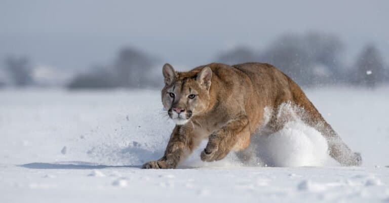
One cat. Two continents.
Sure-footed partner of people

Big beard, bright sun, bold attitude.

Webbed feet, world travelers.

Built to soar, born to strike
Spines, eggs, and ant-eating mastery

Lightning hunter of the Amazon

Bony rays, endless ways.
From dunes to tundra-fox smart.

Tailless jumpers, masters of change

Webbed feet, sky roads, wetland lives
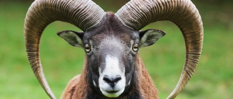
Sure-footed masters of rock and range
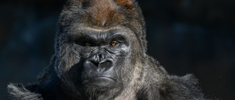
Gentle giants of the African forests
Pouches, burrows, and big impacts
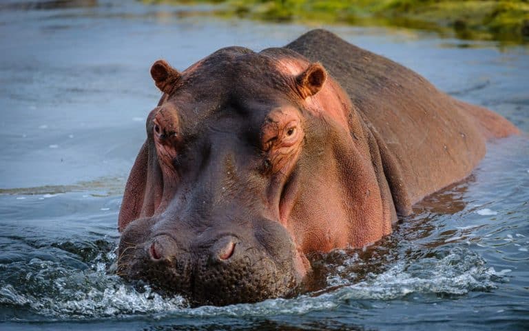
Big river grazer, bigger attitude
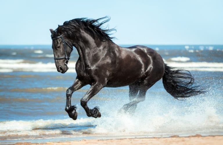
One hoofbeat, a thousand histories

Sun-powered lizards of the Americas
Thank you for reading! Have some feedback for us?
We appreciate your help in improving our content.
Our editorial team will review your suggestions and make any necessary updates.
There was an error submitting your feedback. Please try again.