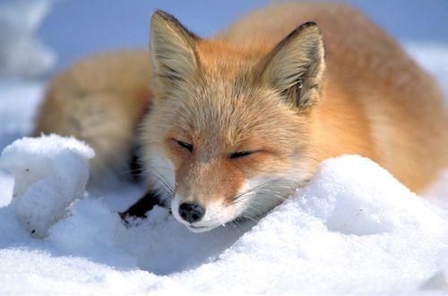
Fox
From dunes to tundra-fox smart.
From dunes to tundra-fox smart.
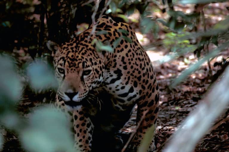
Power of the Americas' apex cat

Sure-footed partner of people
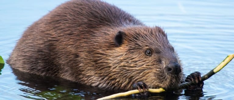
Build wetlands, shape worlds.
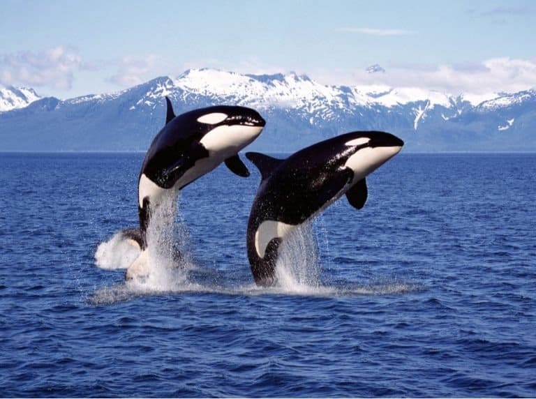
One species, many ecotypes.
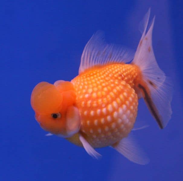
Bony rays, endless ways.
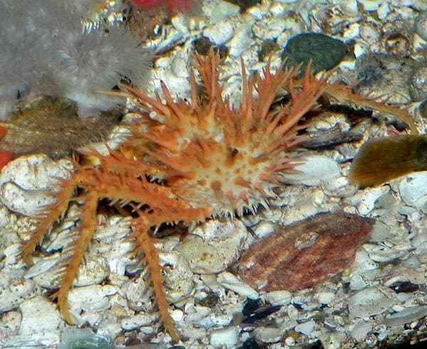
Cold-water royalty of the seafloor
One cat. Two continents.
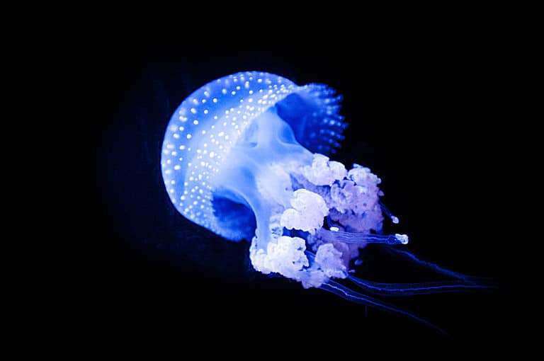
Sting-powered drifters of the sea

Small gnawers, huge impact.
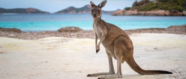
Coastal habitat is the dynamic land-sea interface shaped by tides, waves, salt spray, shifting sediments, and coastal winds. It spans a mosaic of shoreline and nearshore environments-from dunes and beaches to rocky shores, lagoons, and shallow coastal waters-whose conditions are strongly influenced by the ocean.
Coastal habitats form where the sea meets land, with rapid changes in salt, flooding, waves, and sand. This umbrella term covers sandy beaches, rocky shores, dunes, tidal flats, and nearshore waters. Coasts are rich in life, serving as nurseries and bird stopovers, buffering storms, storing blue carbon, yet are heavily altered by development, pollution, and climate change.
High light exposure on open beaches and rocky shores; salt spray and wind increase desiccation stress. Turbidity, foam, and suspended sediments can reduce underwater light; fog and marine layer can reduce daily insolation in some regions.
Tidal and wave-driven shoreline; brackish to marine conditions near estuaries; common features include intertidal zones, surf zones, lagoons, tidal creeks, estuaries, salt marsh edges, and nearshore shelves. Currents are typically moderate to strong due to tides/longshore drift; salinity usually ~30-35 PSU (marine) but can range ~0.5-30 PSU in estuaries depending on freshwater input and season.
High - Coastal habitats combine multiple adjacent sub-habitats (intertidal zones, dunes, marshes, seagrass beds, rocky reefs, nearshore waters) with strong gradients in salinity, wave energy, and exposure. This habitat mosaic creates many niches and supports diverse invertebrates, fish (often as juveniles), algae/plant communities, and migratory birds. Diversity can be locally reduced in highly disturbed or heavily urbanized shorelines, but regionally it is typically high.
Globally degraded and highly pressured; coastal habitats remain biodiversity- and carbon-important but are widely fragmented and modified, with condition varying strongly by shoreline type (e.g., dunes vs. rocky shores vs. nearshore waters) and region.
Moderate to high but site-specific: dune and shoreline vegetation recovery can be rapid if disturbance is reduced; nearshore habitats may rebound with improved water quality and protection. Success is constrained where sediment supply is altered, shorelines are heavily armored, or sea-level rise prevents landward migration.
High: sea-level rise and intensified storms drive chronic erosion and inundation, while warming and acidification stress nearshore ecosystems. Vulnerability is greatest in low-lying coasts and where hard infrastructure causes coastal squeeze; adaptive capacity improves with space for habitat migration and maintained sediment supply.
Coasts can build land while the sea rises: Mangroves and salt marshes can trap sediment and accumulate peat, sometimes keeping pace with moderate sea-level rise-until pushed past a threshold.
Sand beaches are "moving landscapes," not static piles: A beach can look stable day-to-day while its sand is constantly exchanged with offshore sand bars and neighboring stretches of coast.
Rocky shores are built around "just-in-time survival": Many intertidal organisms live on a knife-edge-tolerating drying, heat, and pounding waves for part of the day, then feeding underwater when the tide returns.
Salt spray acts like a natural pruning shears: Coastal winds carry salt inland, limiting many plants-so you often see stunted, wind-sculpted trees ("salt-spray pruning") near shore.
Some coastal nurseries are underwater forests: Seagrass meadows (nearshore) stabilize sediments and shelter juvenile fish-functioning like a coastal equivalent of a forest understory.
Barrier islands are meant to migrate: Many barrier islands naturally roll landward over time as storms and waves shift sand-trying to freeze them in place often backfires.
Not all "near the ocean" is salty all the time: Estuaries can swing from fresh to salty with tides, storms, and river flow, creating a habitat of constant change.
Dunes are living systems, not just sand hills: Plants like beach grasses trap windblown sand, which helps dunes grow-vegetation is often the dune's architecture.
The loudest coastal "engine" is often tiny: Burrowing animals (crabs, worms) can aerate sediment and change nutrient cycling, reshaping entire mudflats from the inside out.
The coast is a global carbon player: Salt marshes, mangroves, and seagrasses store "blue carbon" in waterlogged soils that can lock away carbon for centuries-if the habitat stays intact.
Think of the intertidal zone like a twice-daily elevator: organisms ride the "water level" up and down, switching between underwater life and open-air survival.
A coastal dune is like a savings account of sand: vegetation "deposits" grains by slowing wind, storms make "withdrawals," and the balance changes seasonally.
Estuaries are coastal mixing bowls: river water and seawater blend like layered salad dressing, with salinity gradients that shift with tides and rainfall.
Mangroves and salt marshes are the coast's shock absorbers: they can reduce wave energy and storm surge much like a sponge dampens a splash.
Rocky shores are natural obstacle courses: cracks, pools, and overhangs create microclimates-like a neighborhood of tiny apartments with different temperatures and moisture levels.
Barrier reefs and barrier islands are like offshore speed bumps: they break incoming waves and help protect calmer lagoons and shorelines behind them.
Coastal upwelling zones are like nutrient elevators: wind-driven currents lift cold, nutrient-rich water to the surface, fueling big food webs.
A beach is a conveyor belt: sand is transported alongshore by angled waves, moving grains down the coast the way a moving walkway carries people.
Largest coral reef system: Australia's Great Barrier Reef (~2,300 km long) is the biggest reef complex on Earth and a coastal habitat hotspot.
Largest continuous mangrove forest: The Sundarbans (Bangladesh/India) is the world's largest mangrove ecosystem, shaped by tides and river-borne sediments.
Biggest "living structure": The Great Barrier Reef is often cited as the largest structure built by living organisms (a superlative commonly used for reefs).
Most energetic shorelines: Coasts exposed to long, uninterrupted stretches of ocean ("long fetch") can receive enormous wave energy-some Atlantic and Southern Ocean-facing coasts routinely get surf-sized swells.
Extreme tidal ranges: Some coastal habitats experience huge tidal swings-think the Bay of Fundy (Canada), famous for among the highest tidal ranges in the world.
Longest coastline (depending on how you measure): Canada is often listed as having the world's longest coastline, illustrating how jagged, island-rich coasts dramatically increase measured length.
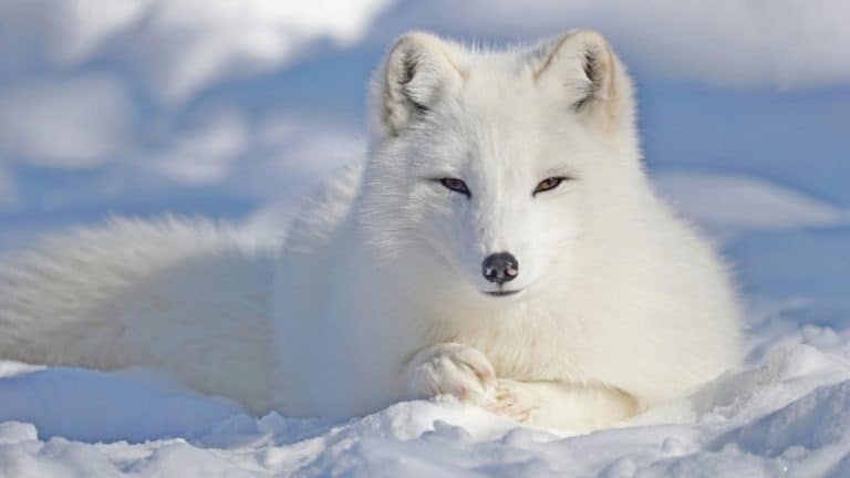
Built for blizzards, born for tundra
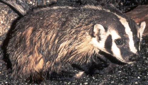
Built to dig. Born to endure.
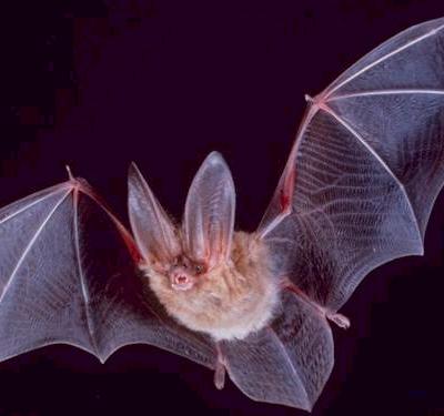
Night pilots of the mammal world
Build wetlands, shape worlds.
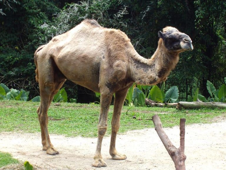
Humps of fat, miles of grit

Small hunter, big household legend
One cat. Two continents.
Sure-footed partner of people
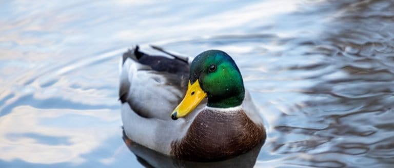
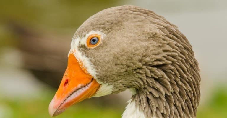
Webbed feet, world travelers.
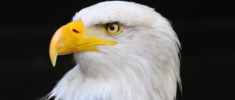
Built to soar, born to strike
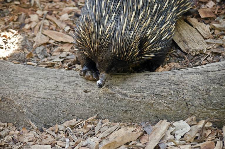
Spines, eggs, and ant-eating mastery
Bony rays, endless ways.
From dunes to tundra-fox smart.
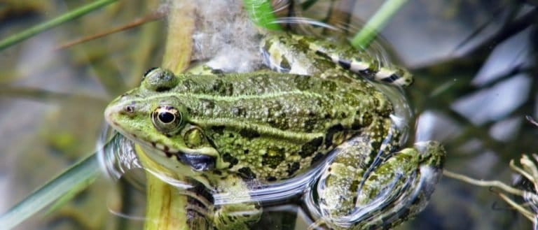
Tailless jumpers, masters of change
Webbed feet, sky roads, wetland lives

Goats: nimble browsers, global helpers

Pouches, burrows, and big impacts
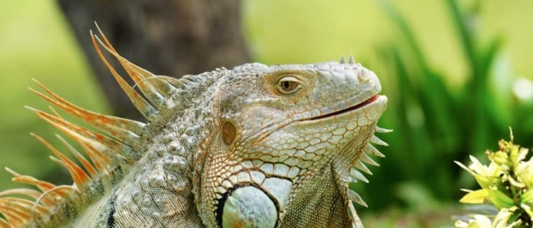
Sun-powered lizards of the Americas
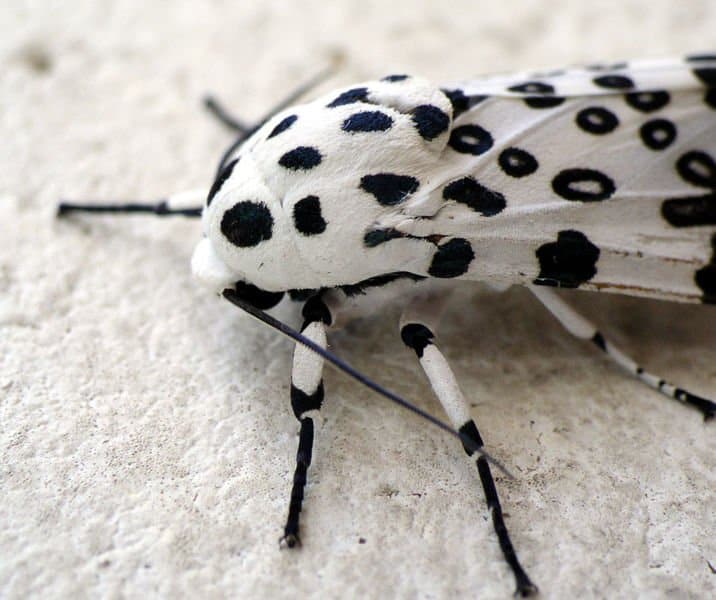
Six legs, endless lives.
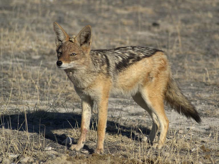
Small canids, big survival skills
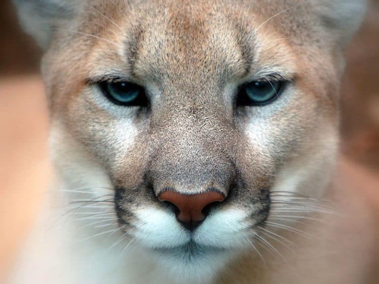
Power of the Americas' apex cat
Sting-powered drifters of the sea
Big hops, big pouches, big variety
One species, many ecotypes.
Thank you for reading! Have some feedback for us?
We appreciate your help in improving our content.
Our editorial team will review your suggestions and make any necessary updates.
There was an error submitting your feedback. Please try again.